|
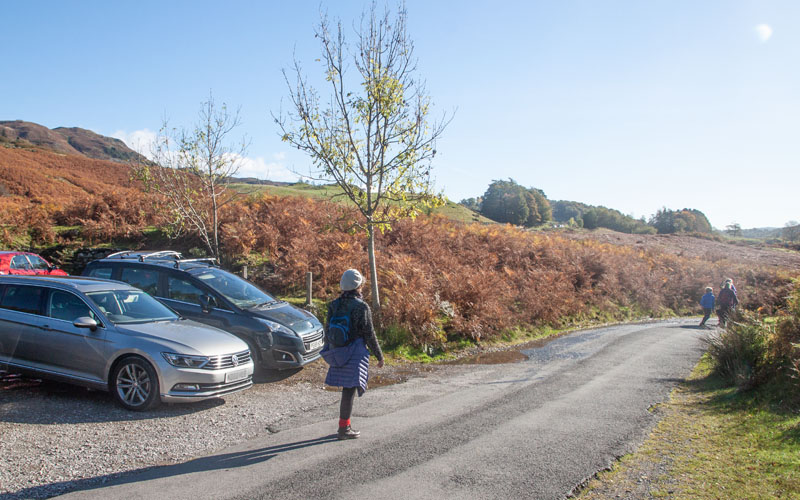
Leave the car park and walk south to cross the B5343 continuing to follow the minor road ...
|
|
|

|
… to Elterwater village. At the junction pictured, cross the road, continuing in the same direction.
|
|
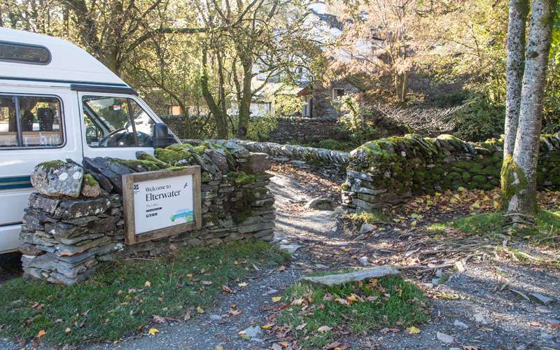
Before you come to the bridge. Go through this gap in the stone wall to follow the path by the side of Great Langdale Beck. The popular path is well surfaced.
After crossing a footbridge the path moves away from the stream and you pass through ...
|
|
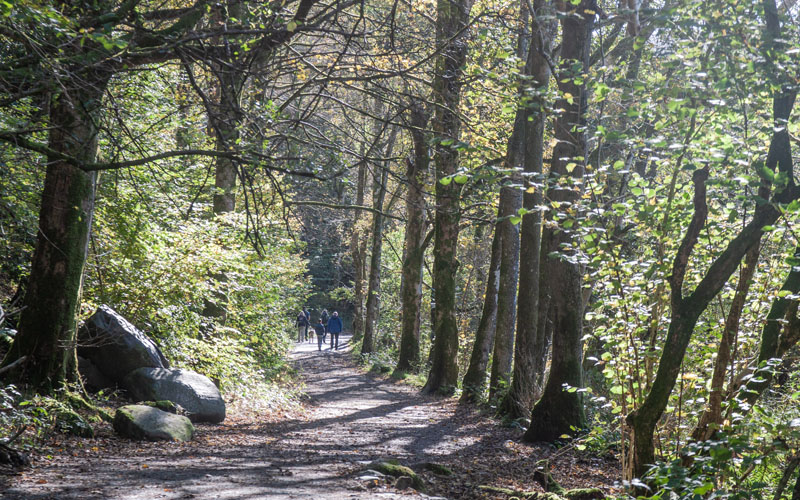
… woodland for a short distance ...
|
|
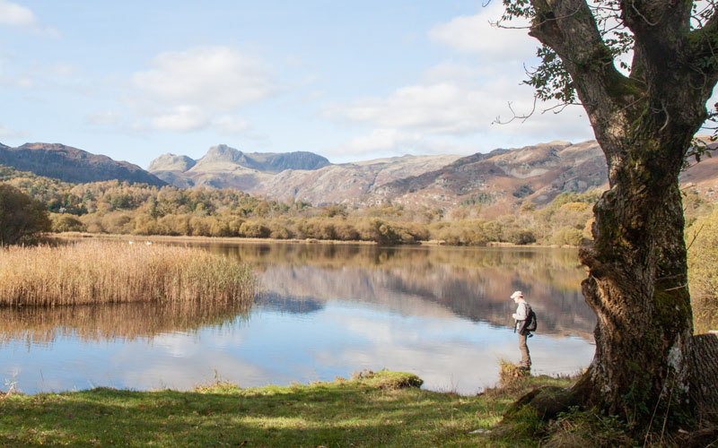
… before passing through a gate and emerging by the side of Elter Water, the lake. The path continues alongside the River Brathay as it leaves the lake.
|
|
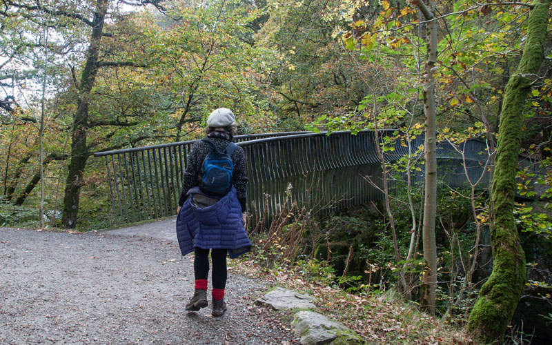
At a junction of paths, we crossed the bridge pictured. (If you wish to extend the walk to Skelwith Bridge, or to have a better view of Colwith Force,
continue on the same bank of the river).
|
|
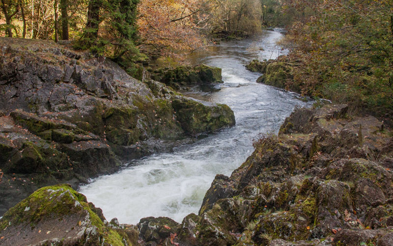
You’ll probably be able to hear the waterfall before you can see it – and from this bank, the views of the fall are very restricted (and quite precarious to reach).
|
|
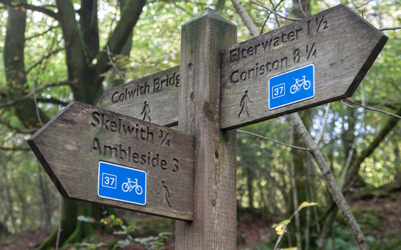
The path leads uphill, away from the river to this junction. Bear right, following the direction indicated for Colwith Bridge (if you’ve detoured to Skelwith Bridge, this is where you can re-join our route).
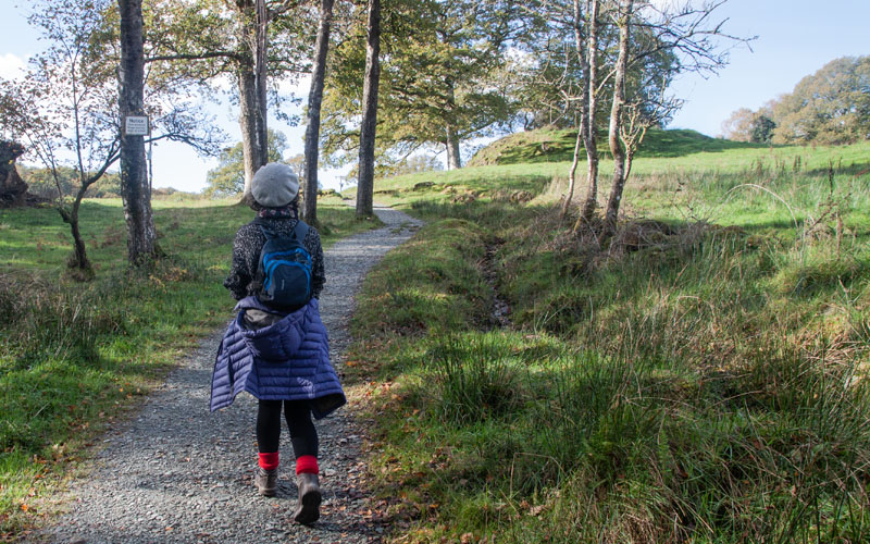
The path climbs up to a wooden kissing gate that leads ...
|
|
… to a path through open pasture. After just over 100 metres the path joins a farm track – turn right to follow this to Park House.
|
|
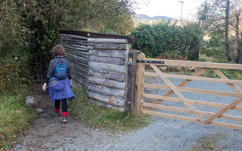
Go through a kissing gate to the left of the large wooden gate (pictured). Follow a short, narrow path between a wooden fence and stone wall to go through another kissing gate.
|
|
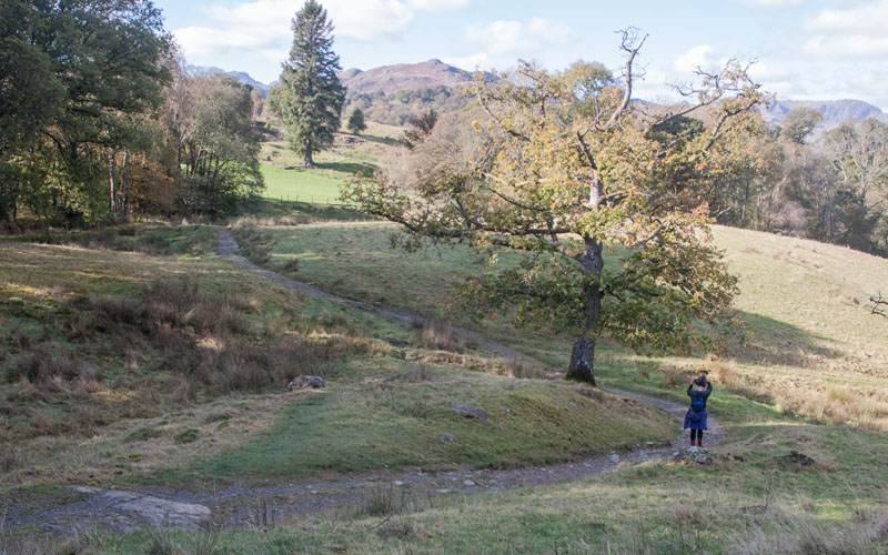
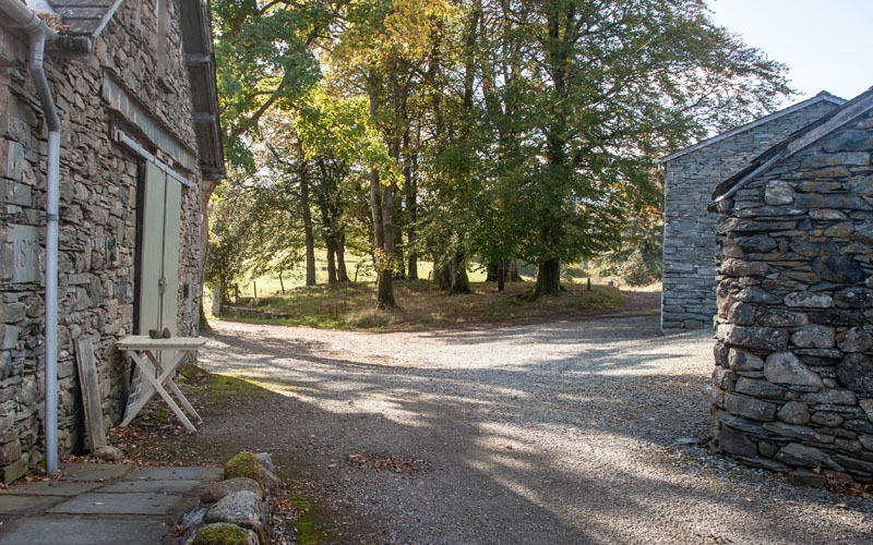
The path winds through open pasture for about 270 metres before you pass through a wooden gate and the track leads through another gate to walk between ...
|
|
… holiday cottages at Park Farm. Bear right to walk by the left hand side of the last of the buildings. A short stretch of path leads to ...
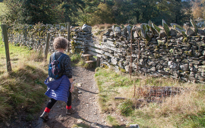
|
|
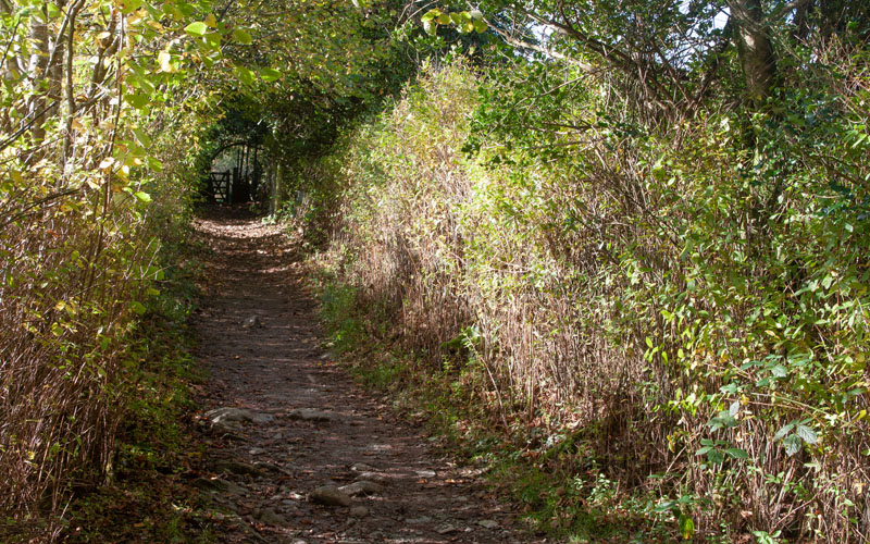
… a stile in a stone wall. A short distance after crossing this there’s another stile ...
|
|
… which takes you to a tree-lined lane and through a wooden gate.
|
|
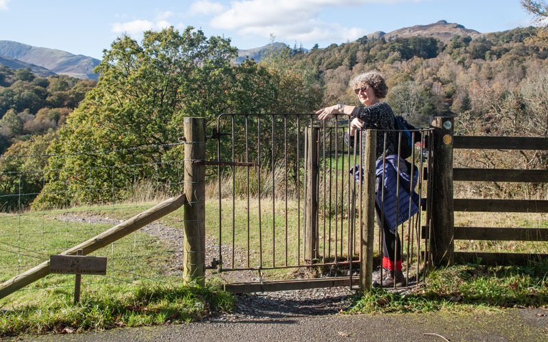
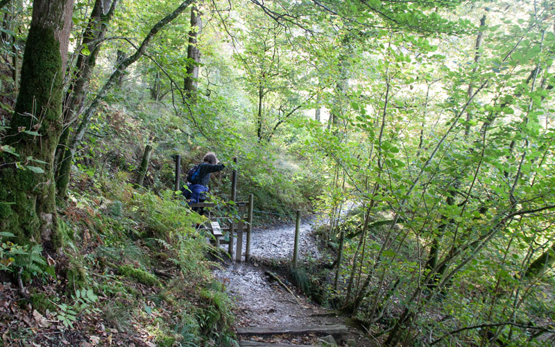
A metal kissing gate is next and then a narrow path leads downhill – at first through open pasture ...
|
|
… and then through woodland and over more wooden stiles. The path continues downhill, at one point quite steeply down steps, before a stone stile brings you
out onto an unclassified road. Turn right along the road, heading first north west and then north.
At a road junction bear right, following the sign for Elterwater.
|
|
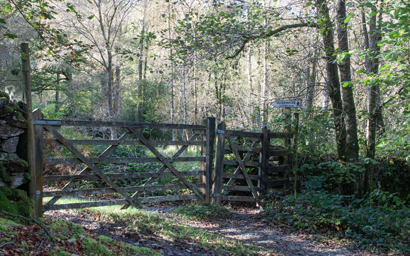
After about one third of a mile go through the kissing gate pictured and follow the track through Fletcher’s Wood
(which runs alongside the road) for a little less than half a mile.
|
|
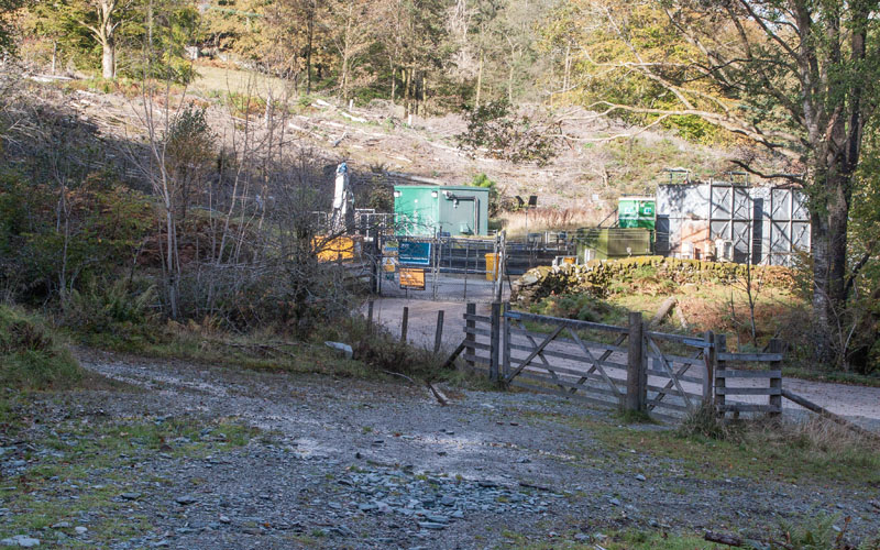
The woodland track joins the track pictured. Turn right and then turn left, back on the unclassified road which will return you to ...
|
|
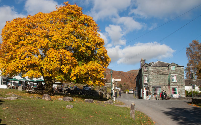
… the village of Elterwater. From here re-trace your original route back to the start.
|
|
|
All text and images © Graham Dean, November 2022.
