| Map: |
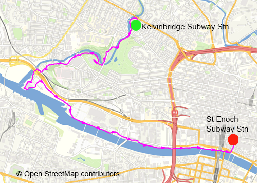
Explorer 342 - Glasgow.
|
 |
|
| Start: |
NS 575 669 - Kelvinbridge Subway Station. |
| Finish: |
NS 590 650 - St Enoch Subway Station (the walk could be extended to finish at Glasgow Green/The People's Palace).
|
| Route: |
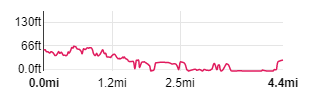
The walk is full of contrast, leading you through quiet riverside parks and by busy dual carriageways,
following the rivers Kelvin and Clyde. It also passes some of Glasgow's most interesting museums and galleries -
there won't be time to visit them all, but it would be a shame not to include at least one of them
(we paid a fairly brief visit to Kelvingrove to see a specific temporary exhibition and also explored the Riverside Museum). |
| Links to Route Files: |
Ordnance Survey OS Maps online
(may only available to OSMaps subscribers) or .gpx
(exported from OS Maps app on Android device - can be imported into many devices).
|
| More info: |
|
 |
|
| Refreshments: |
Refreshments are available at the two museums we stopped at (Kelvingrove and Riverside) and probably at the other museums.
There are also bars and restaurants in the various hotels that you pass along the Clyde.
When you reach St Enochs there is plenty of choice.
|
|
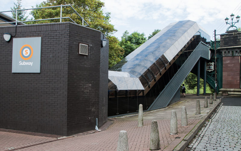
We left the station and turned left on to South Woodside Road, then left again to walk under the covered station escalators - but …
|
|
|
|
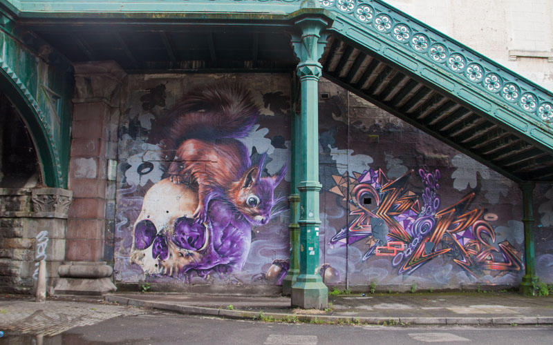
… do look to your right to admire the mural under the steps leading up to Great Western Road.
The artist is Sam Bates a.k.a. Smug -
he often refreshes the work, so there may be something different to see when you view it.
|
|
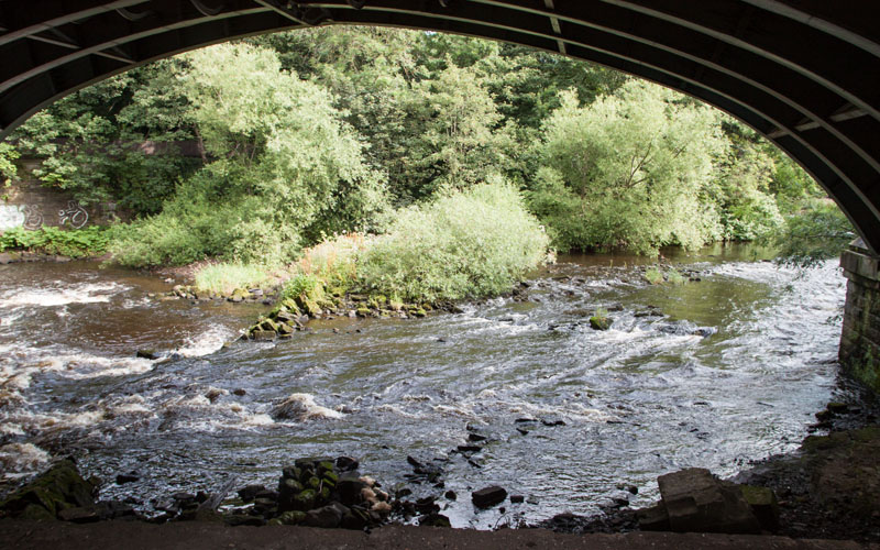
You join a riverside path leading downstream alongside the River Kelvin …
|
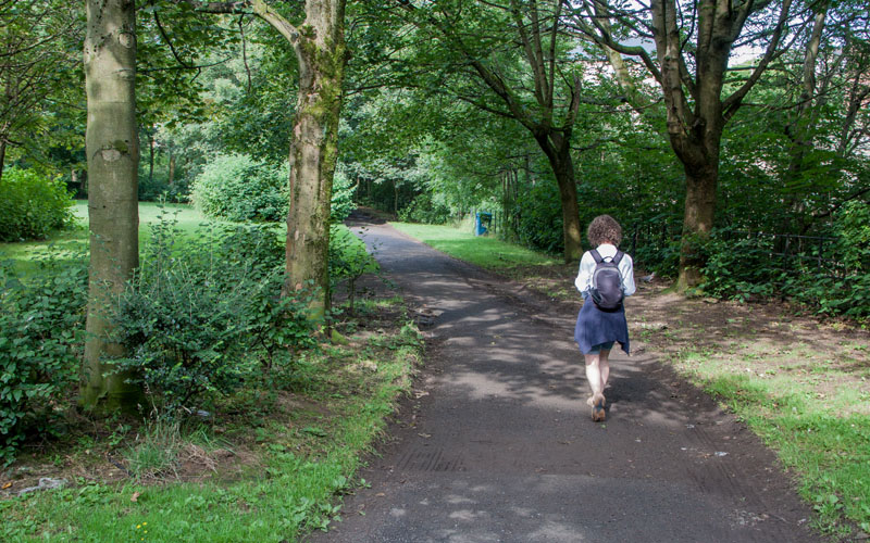
|
Continue on the Kelvin Walkway, just beyond the location pictured, look to your left to view another of Smug's murals,
this depicting a history of Scottish transport.
Continue along the path, under a road bridge to enter Kelvin Park. Continue to follow the path closest to the river.
|
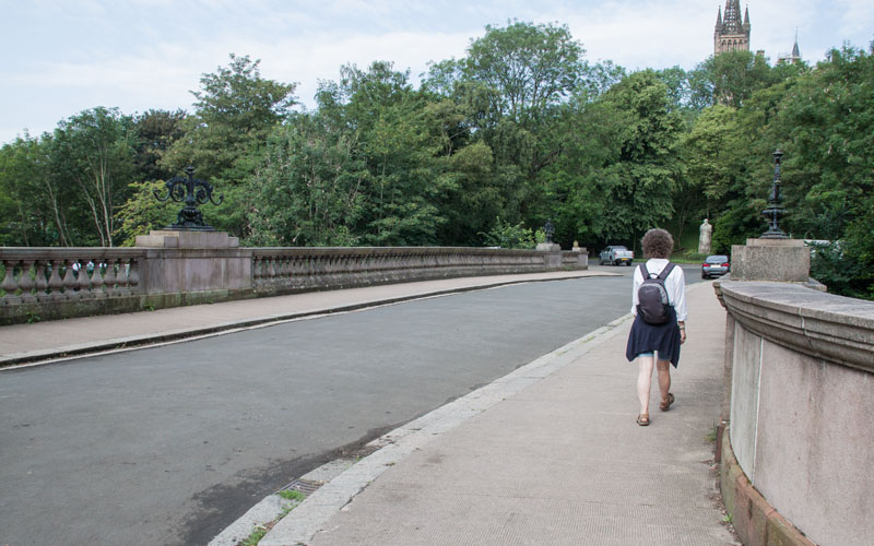
|
At a junction of paths, turn right to cross the Prince of Wales Bridge. At the other side, bear left to then turn left onto Kelvin
Way more or less opposite …
|
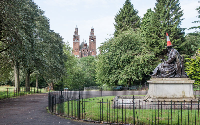
|
… this Lord Kelvin Monument.
|
|
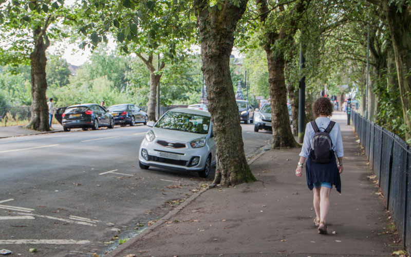
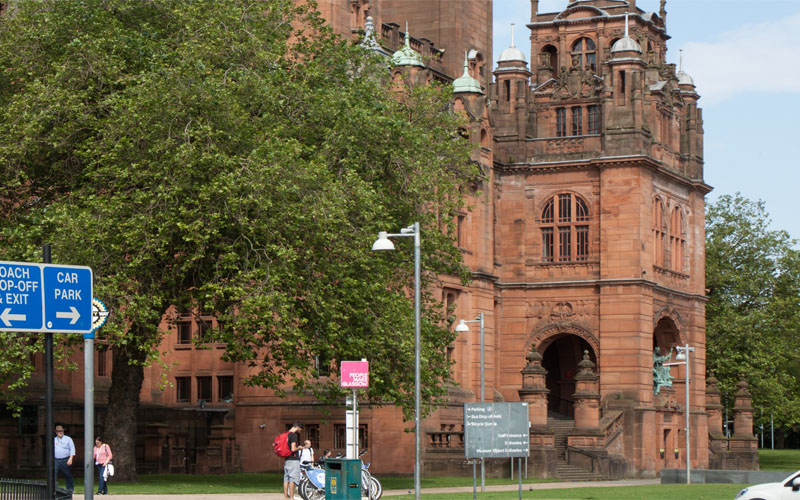
Walk along Kelvin Way to re-cross the river and turn right to face …
|
|
... Kelvingrove Museum and Art Gallery. We've visited this before and it's impossible to do it justice on a short visit
(it's probably impossible to do it justice in a full day visit) - there's just so much to explore. On this occasion we just
visited a specific temporary exhibition (Linda McCartney photographs), before continuing with the walk. If you haven't visited before,
it really is a must (even it's just to have a taste).
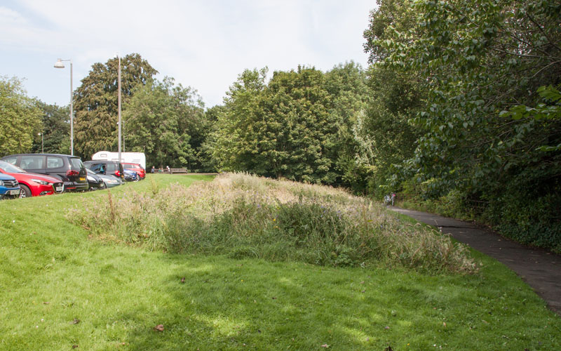
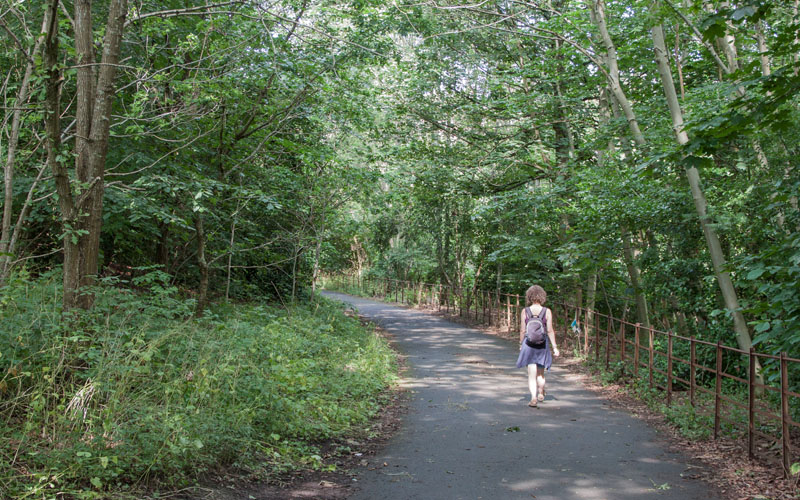
To continue the walk, the path runs …
|
|
… between the car park and the river ...
|
|
… with trees on either side.
|
|
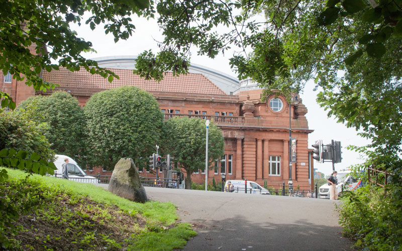
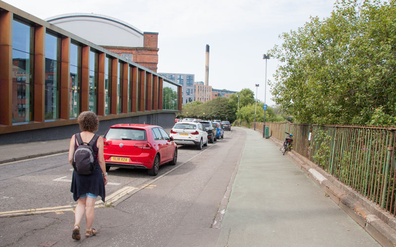
You emerge onto Argyle Street, opposite Kelvin Hall. This is a museum that remains on our "to do" list - on this occasion we crossed the road and walked by the side of the museum …
|
|
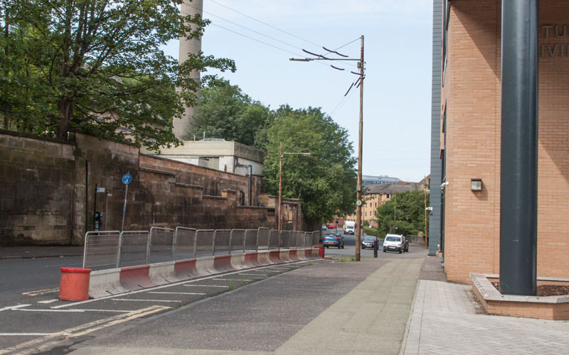
… down Bunhouse Road. When you meet …
|
|
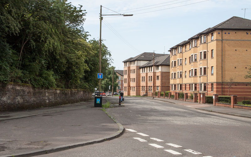
… Old Dumbarton Road, turn right.
|
|
At the next road junction, turn left along Ferry Road.
|
|
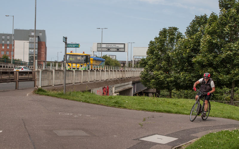
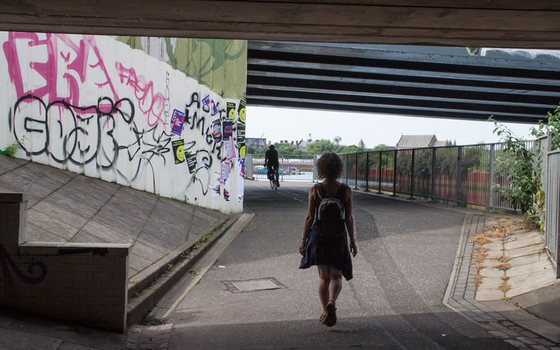
At the end of the road continue ahead, under the railway and up towards the dual carriageway, then right (where the cyclist in the picture is coming from).
This leads you under ...
|
|
... the road and takes you to …
|
|
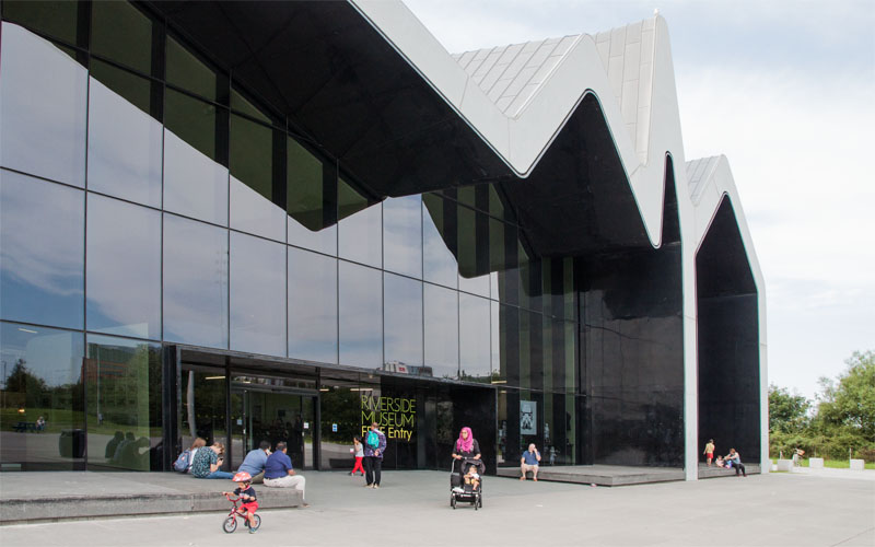
… the Riverside Museum. We'd never visited this before - and we spent some time exploring . We left the museum via …
|
|
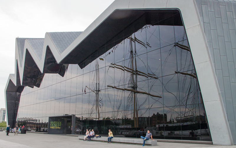
… the exit onto the riverside, opposite the Tall Ship (we didn't visit this - it was starting to look like rain,
and we were hoping to return to our hotel without getting wet).
|
|
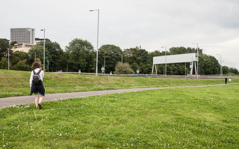
We crossed the car park and joined the path heading into the city, alongside Stobcross Road the A814 dual carriageway.
|
|
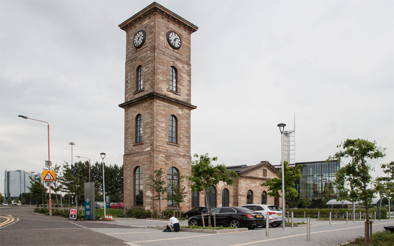
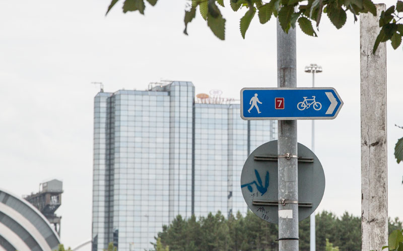
Follow the pavement around the Clydeside Distillery, go straight across the mini-roundabout and then turn right, following …
|
|
… the signs for the cycleway no. 7.
|
|
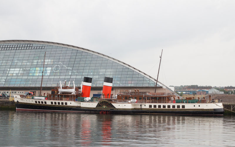
The footpath re-joins the river opposite the Glasgow Science Centre - when we completed this walk the Waverley paddle steamer
was moored opposite, awaiting new boilers.
|
|
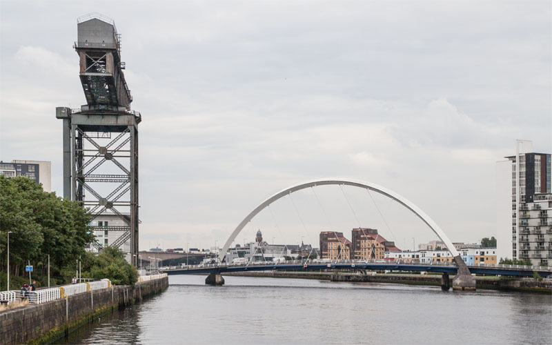
The path continues, joining Congress Road just before Finnieston Crane, a reminder of Glasgow's past as a bustling port.
Also shown in the picture is Clyde Arc, known locally as Squinty Bridge.
|
|
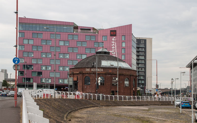
Follow the pavement past the crane and the Hilton Hotel, before the path once again leads closer to the river.
|
|
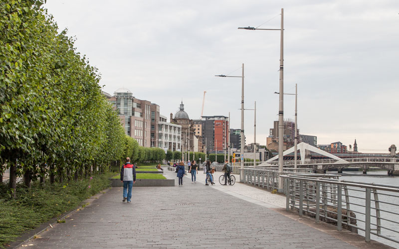
It certainly makes for a pleasanter stroll when trees separate the path from the road.
|
|
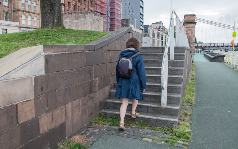
We had intended to continue along the river until we reached Glasgow Green and the People's Palace - but we had spent longer than intended in the two museums that we visited, so climbed the steps pictured
(just after passing under Glasgow Bridge and before Portland Street Suspension Bridge).
|
|
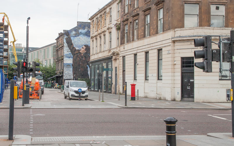
A pelican crossing helped us cross Clyde Street and we walked up Dixon Street, passing the mural, Dr Connolly I Presume
… before completing the walk at St Enoch Subway Station.
|
All text and images © Graham Dean, September, 2019.


