|
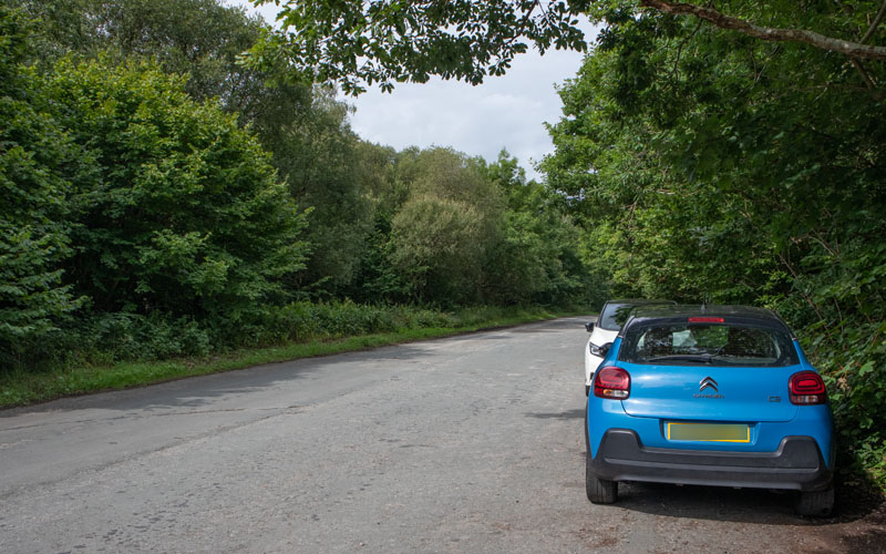
From the layby walk east along the one-way section of road for about 130 metres ...
|
|
|
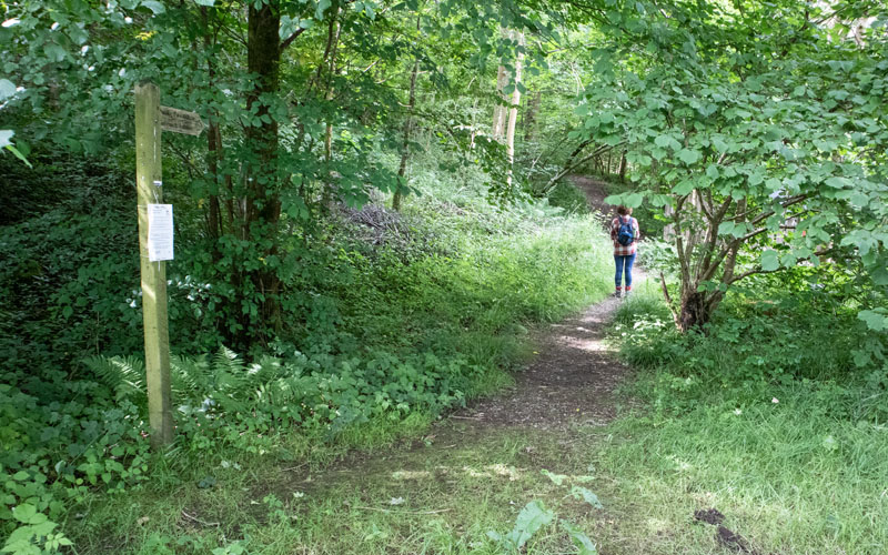
|
... to follow the footpath sign on the right.
|
|
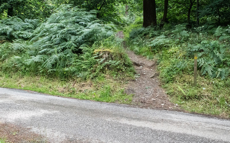
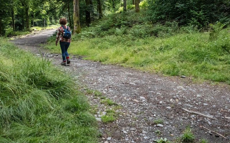
After about 250 metres the path crosses a wide forest track to take the narrow path opposite (pictured).
|
|
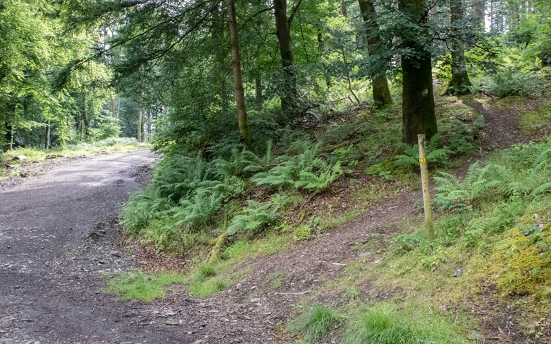
At the next junction with the forest track turn left to follow the track for a short distance ...
|
|
... to where the footpath marker indicates the path to follow on the right.
|
|
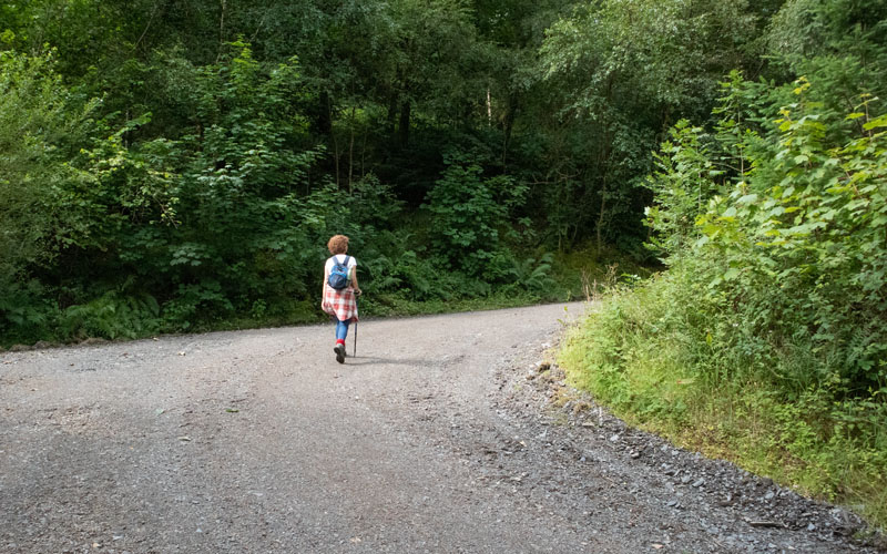
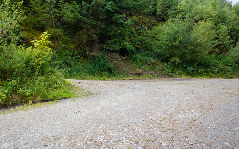
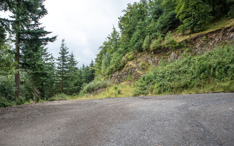
At the next junction with the track follow it up hill round a hairpin bend ...
|
|
and then round another hairpin.
|
|
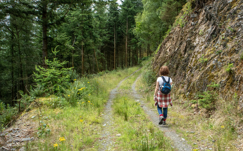
Where the main forset track takes a third sharp turn to the right follow the narrower track that bears left ...
|
|
This track provides a short respite to climbing and there are also glimpses of Skiddaw through the trees.
|
|
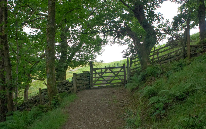
About a third of a mile from the last junction of tracks go through the gate ahead ...
|
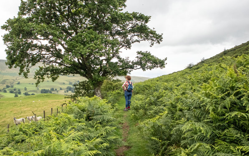
|
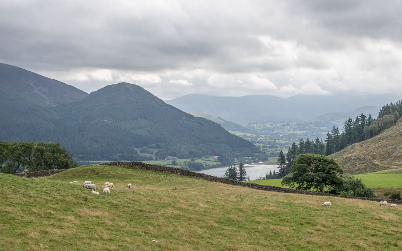
Pause to admire the views south east to ...
|
|
the southern end of Bassenthwaite Lake.
|
|
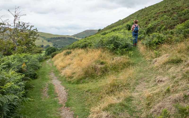
After following the path at the edge of the open fell for about a quarter of a mile take the narrow path that leads off to the right (this path has
prickly gorse bushes on either side - expect to be scratched)!
|
|
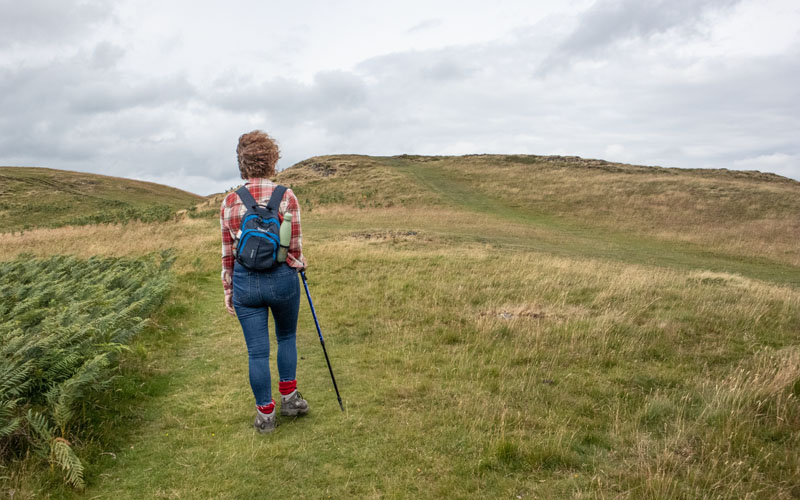
After surviving the path through the gorse the path becomes less steep and heads in a general westerly direction, crossing other grassy paths.
|
|
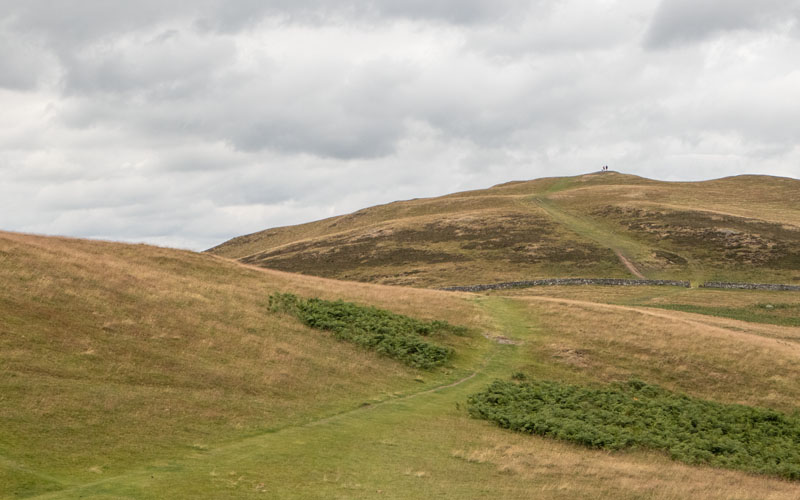
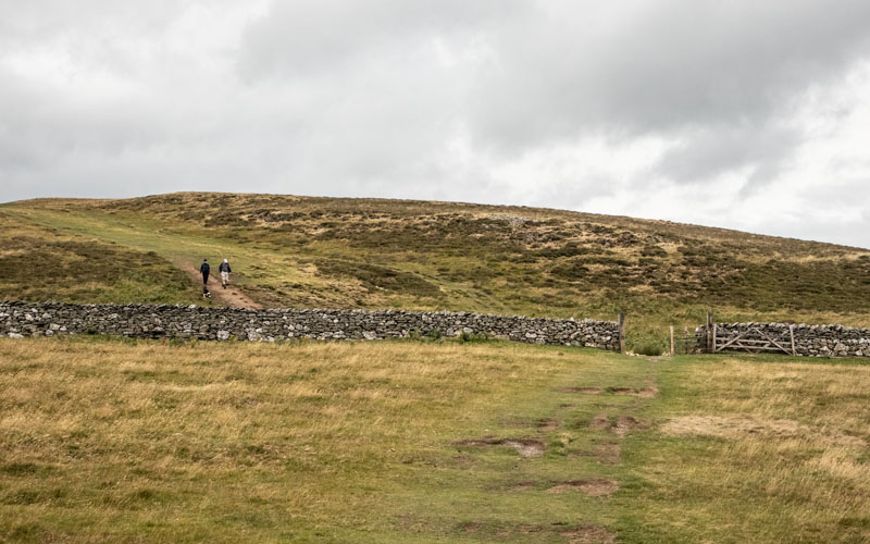
This is a view of the path the summit, with a couple of people admiring the view from the top.
|
|
Go through the gate ahead to reach the top. There's no cairn at the summit, but there are views across the Solway Firth to Scotland (unfortunately on the
day we walked, these were too misty to show up on a photograph).
|
|
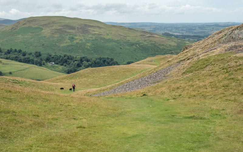
From the summit take the clear, grassy path heading south west, then west.
|
|
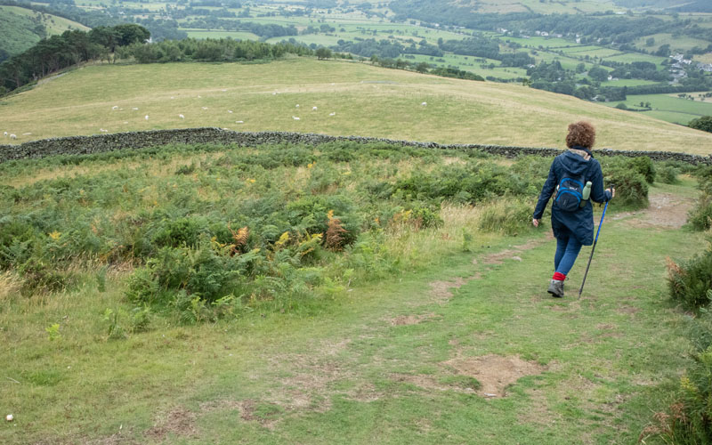
The path turns to the north and follows a stone wall ...
|
|
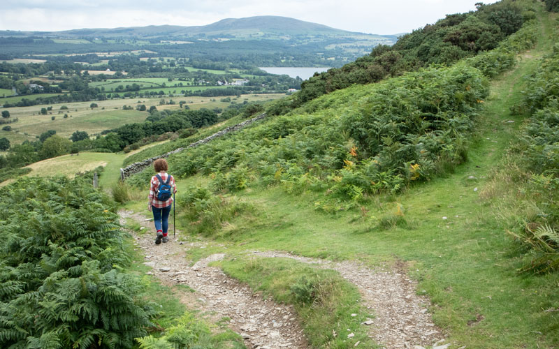
before heading north west. Walk through a gateway in the stone wall and continue downhill to ...
|
|
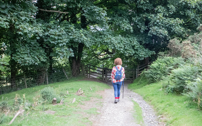
... a gate leading on to a minor road. Turn right.
|
|
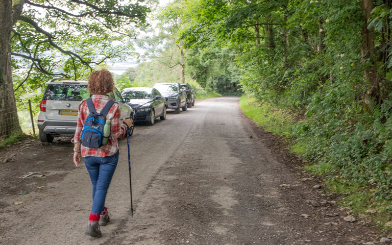
Follow the road for about a third of a mile.
|
|
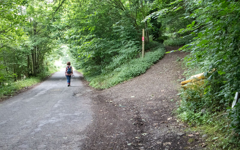
You could follow this track on the right to rejoin the outward route - but we decided to continue along the road ...
|
|
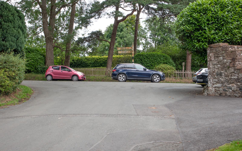
.. to this T junction. Turn right in front of the Pheasant Inn, then ...
|
|
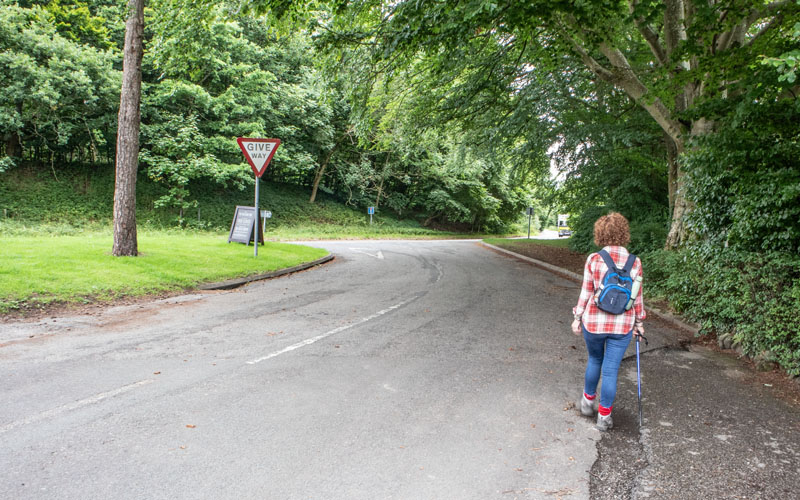
... right again. Follow the road back to the start.
|
All text and images © Graham Dean, July 2023.
