- StBees - St Bees village web site
- StBees - Visit Cumbria
- St Bees Head - Wikipedia
- St Bees Head - RSPB
- St Bees Lighthouse - Trinity House
This walk is available to download as an e book in Kindle format from Amazon - take the route description with you on your mobile device.
| Maps: | OS Explorer Map (303) Whitehaven and Workington. |
| |
| Start: | NX 961 118 - the seafront at St Bees. | ||
| Route: | Most of the route follows a spectacular section of the England Coast Path (and also the start of the unofficial Coast to Coast Path) - and most of it follows a clear clifftop path along the Heritage Coastline that is the most westerly in northern England. The inland loop crosses a large field where there is no path visible on the ground, but then follows clear paths and tracks before returning to the coast. | ||
| Links to route files: | Ordnance Survey OS Maps online (may only available to OSMaps subscribers) or .gpx (expored from OSMaps - for many handheld devices). | ||
| More info: |
|
||
| Refreshments: | The Beach Cafe is close to the start and finish of the walk. If you explore further into the village there are pubs and a bistro. |
|
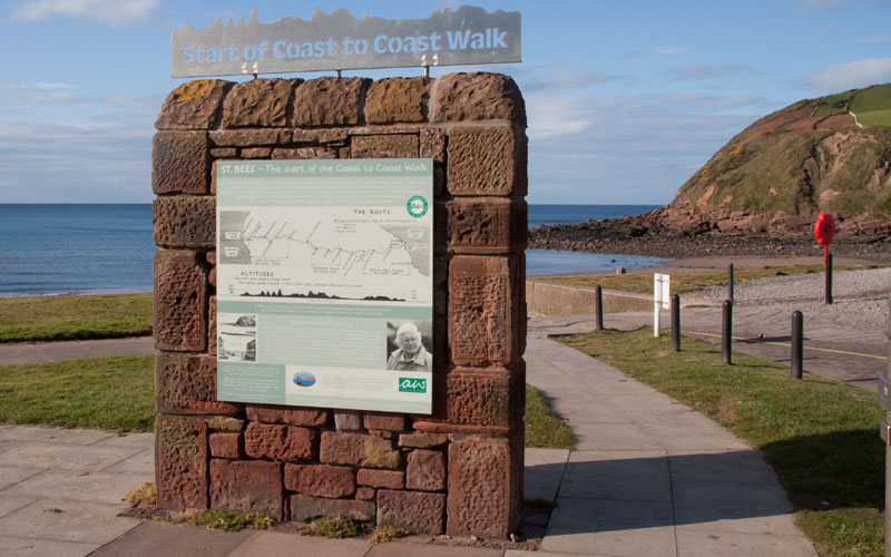
This monument on the seafront at St Bees celebrates the starting point of Wainwright's Coast to Coast walk. We start off by following his route north west along the seafront. |
|
|
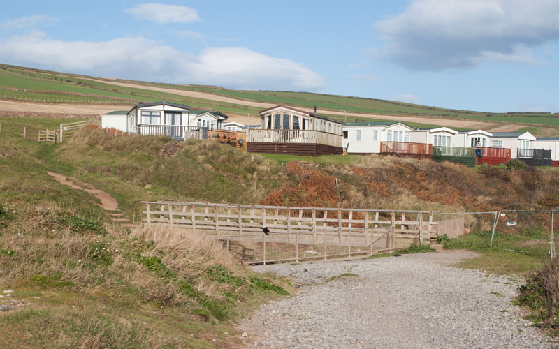
At the end of the promenade, follow the path to cross this bridge over Rottington Beck. Climb the stepped path up the hillside … | |
|
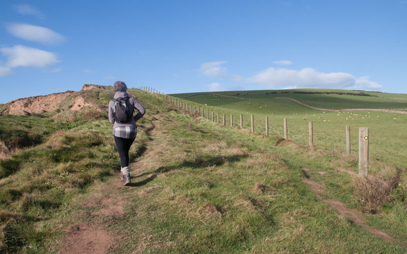
… to reach the clifftop path. There's still more climbing ahead, along with plenty of evidence of how prone to erosion this part of the coast is. | |
|
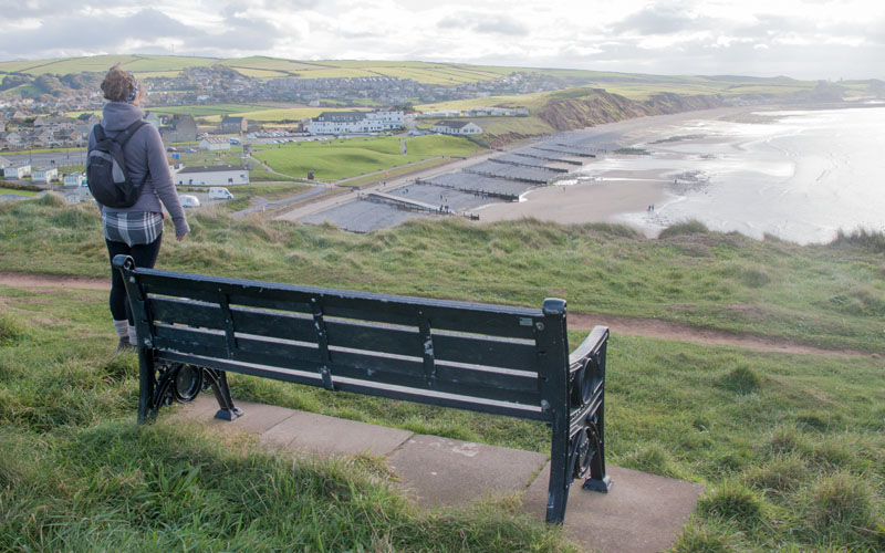
There's a convenient bench on which to get your breath back after the climb - and to admire the view to the south. Pass through a kissing gate, after which the path climbs again. | |
|
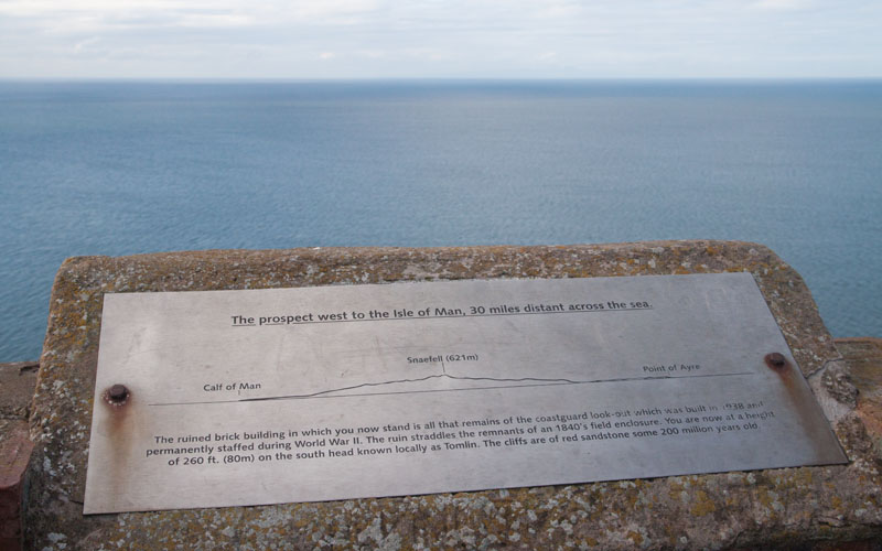
Another kissing gate leads to the remains of a coast guard lookout point, with plaques identifying what can be seen to the north, west and south. The picture is looking west to the Isle of Man. Leave the viewpoint via the kissing gate and follow the path … | |
|
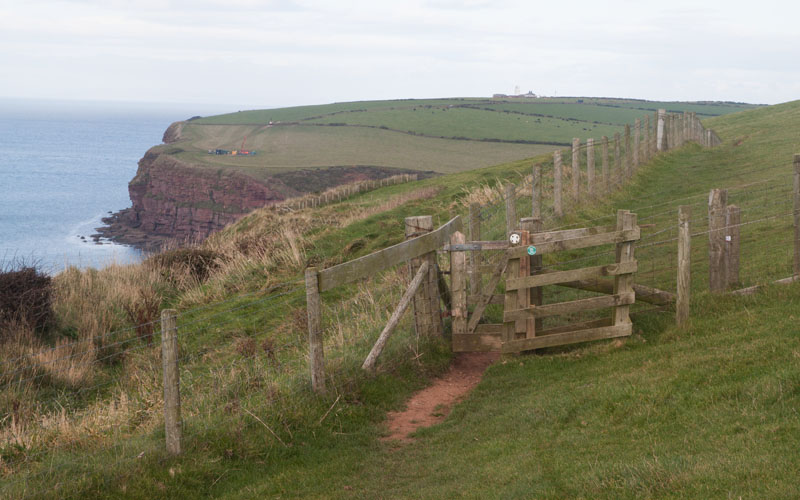
… which runs alongside a post and wire fence for most of its length, passing through a number of kissing gates … | |
|
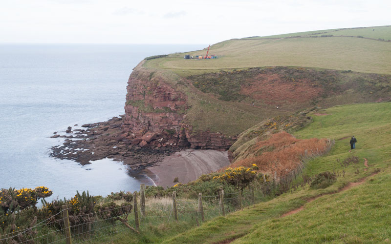
… before descending towards Fleswick Bay. | |
|
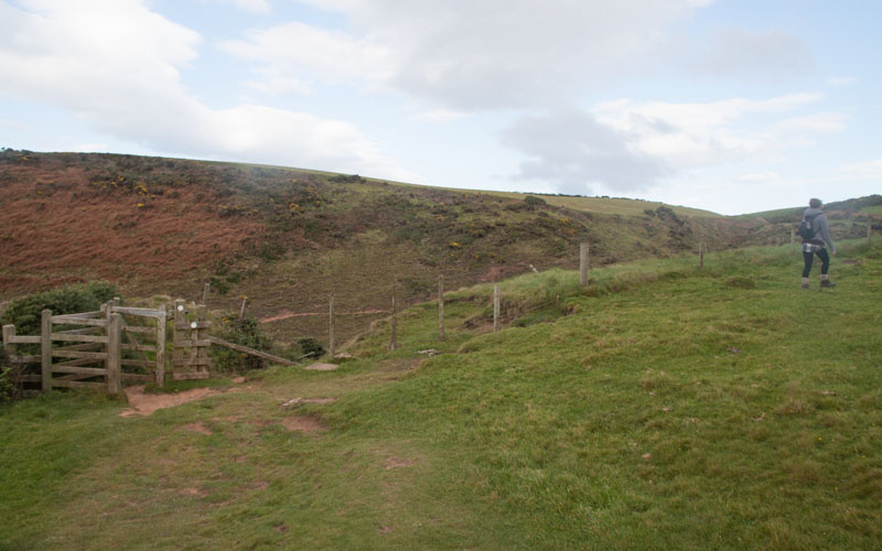
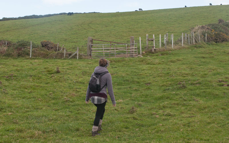
Before reaching the Bay, turn right by a kissing gate with footpath markers. Walk up alongside the fence to a .... | |
|
… stile. Climb the stile to enter … | |
|
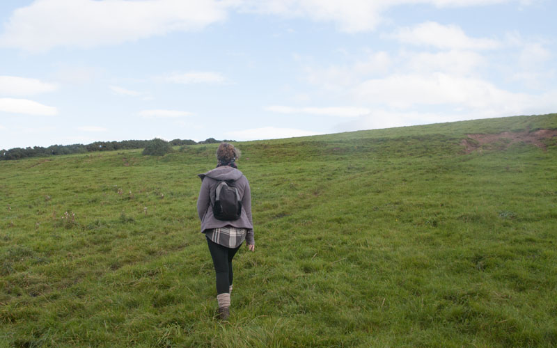
… a large, sloping field. Walk diagonally across the field to … | |
|
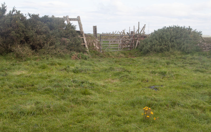
… a ladder stile. Climb the stile and walk alongside a stone wall to another stile. | |
|
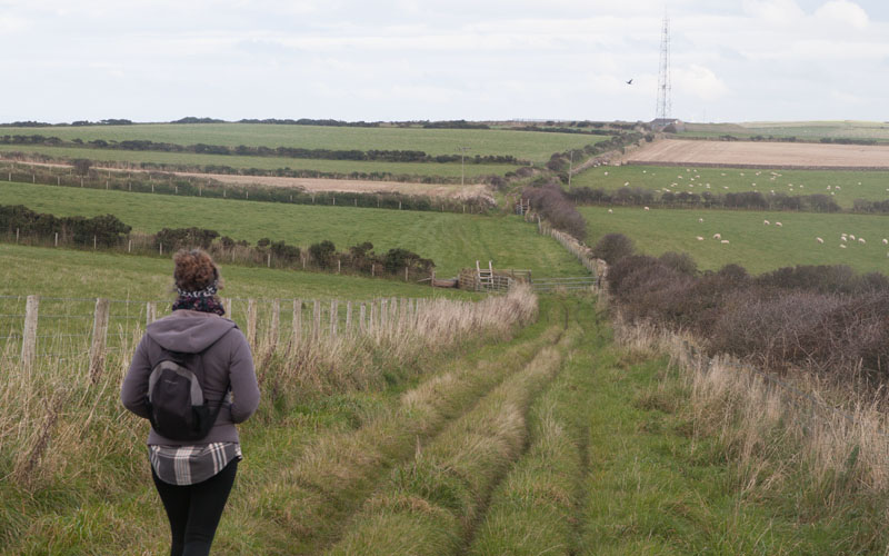
Follow the path over further stiles, towards a transmitter tower. | |
|
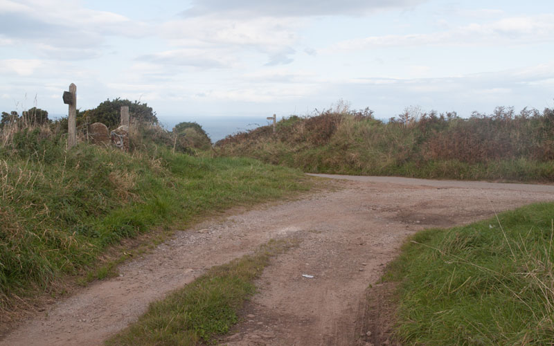
Just beyond the transmitter there is a junction of roads/tracks. Bear left along the road, then almost immediately … | |
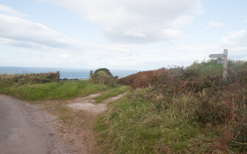
|
… take the track on the right (if you wish to shorten the walk, you could continue along the road). | |
|
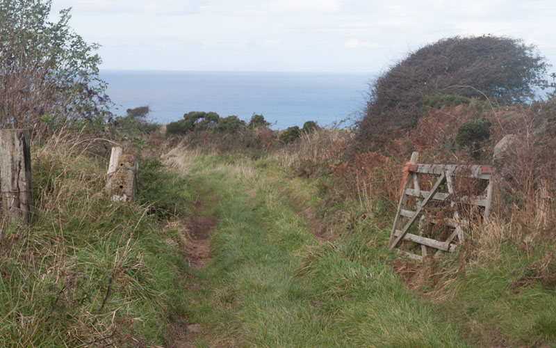
Follow the lane through the gateway pictured. | |
|
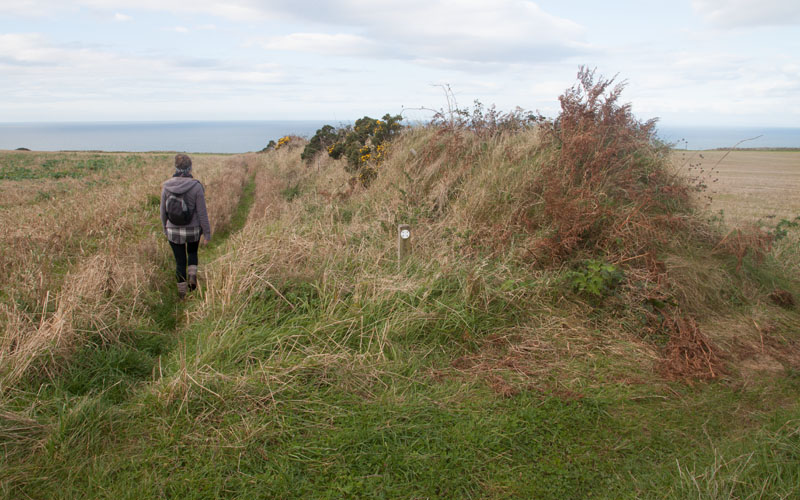
Where the track bends to the right through a gap in the hedge - continue straight ahead (there is a circular footpath sign on a wooden post, but it's so faded it's impossible to read). | |
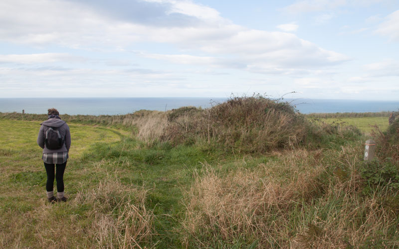
|
A little further on the path we're on re-joins the coastal path - continue ahead. | |
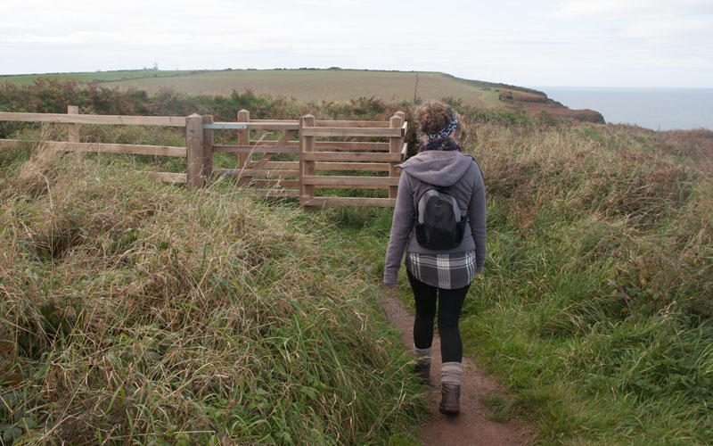
|
The path leads through the first of a number of well-constructed kissing gates … | |
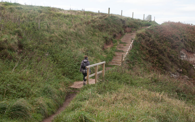
|
… and over a recently built bridge - is the work on this section of the path in preparation for its official designation as part of the England Coast Path? | |
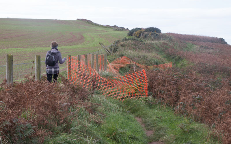
|
Despite the recent work on the footpath - it is likely to continue to have to be moved inland as the cliffs are eroded! | |
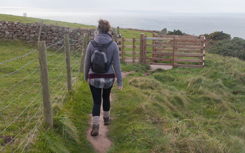
|
This kissing gate leads to the section of the clifftop which is the most westerly in northern England. | |
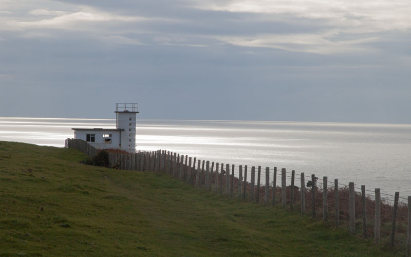
|
The building in the photograph used to house the foghorn, part of the complex … | |
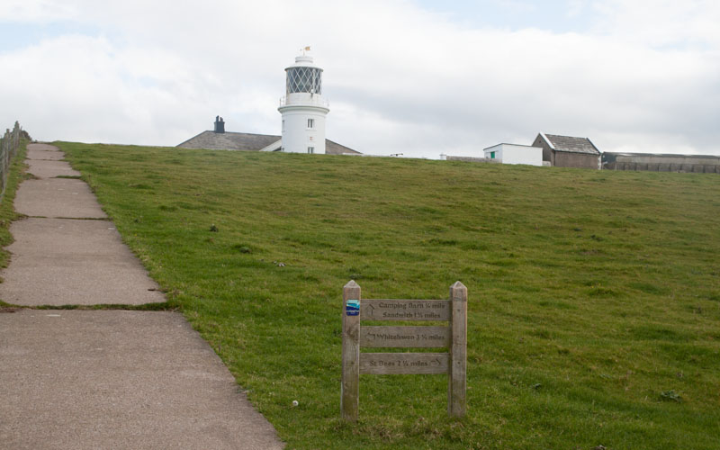
|
… of lighthouse buildings, most of which which are to the left of the path. Continue along the clifftop path … | |
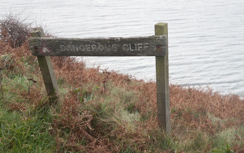
|
… taking heed of the warnings! | |
|
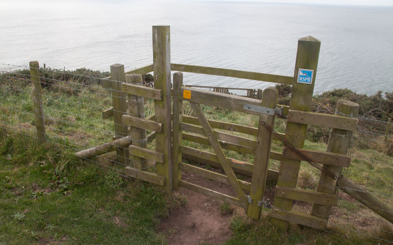
This gate leads to one of several clifftop viewing areas provided by the RSPB. | |
|
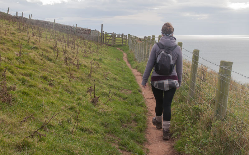
After pausing to watch the clifftop bird life, carry on along the path … | |
|
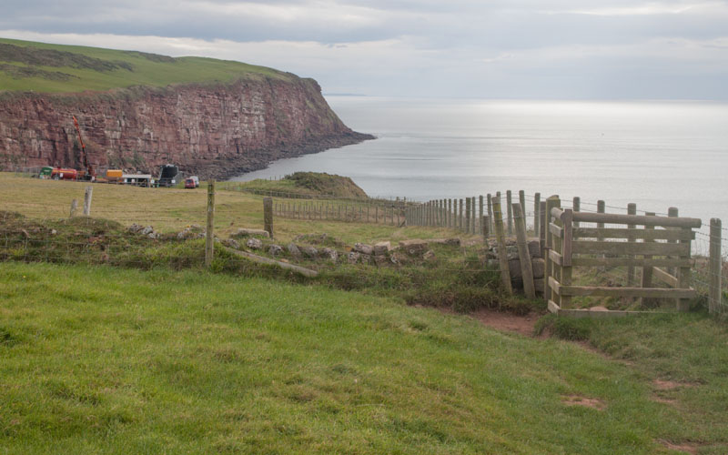
… towards Fleswick Bay. The vehicles in the field were completing exploratory drilling to intersect a coal seam. Hopefully commercial extraction of further fossil fuels will not be allowed - why is exploratory drilling allowed on this stretch of coast which is designated a Site of Special Scientific Interest? Why are we still even thinking about extracting fossil fuels? | |
|
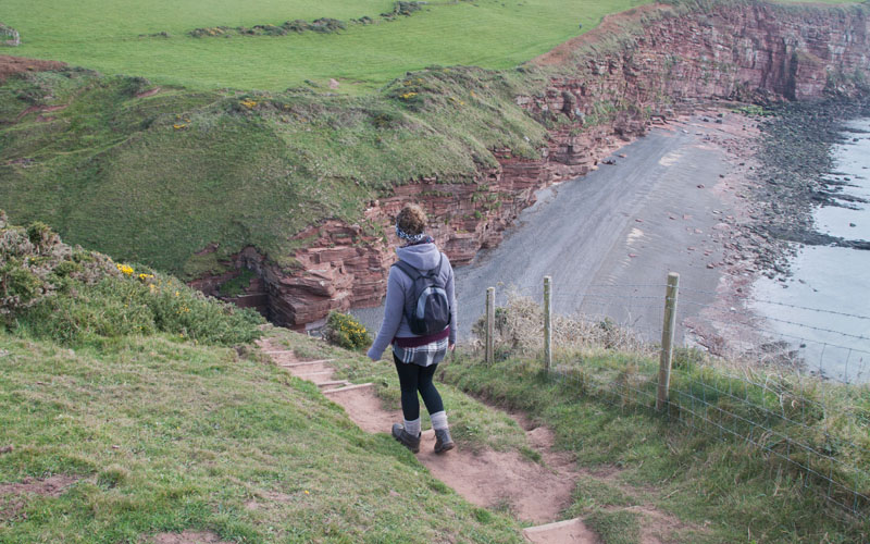
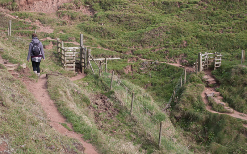
The path descends towards the bay. | |
|
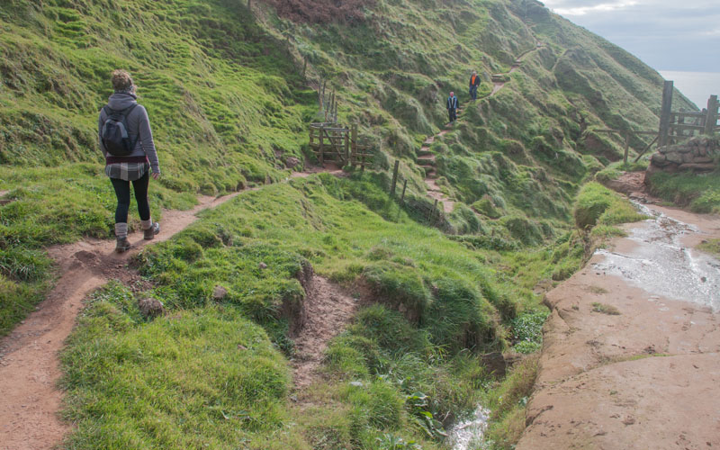
Follow the path as it winds to the left through a kissing gate, over a stream … | |
|
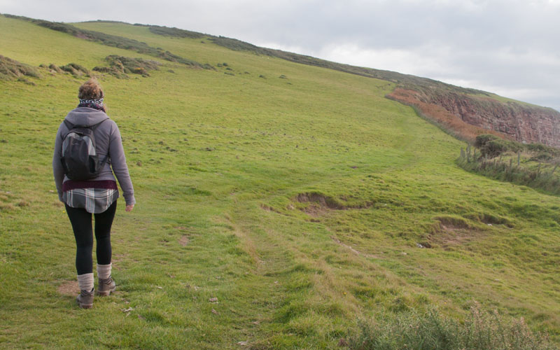
… then back to the right and through a second kissing gate. The path then ascends towards another kissing gate … | |
|
… after which you are re-tracing your steps … | |

|
… along the path back to St Bees. |
All text and images ©Graham Dean, November, 2016.
Back to:


