|
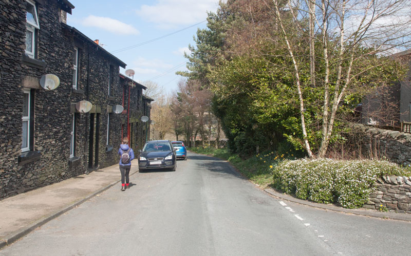
Walk down Church Street, following it round to the left as it becomes Low Lane …
|
|
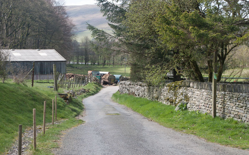
… and the surface becomes rougher. Follow the track towards the river, railway and M6. Just before you reac the river …
|
|
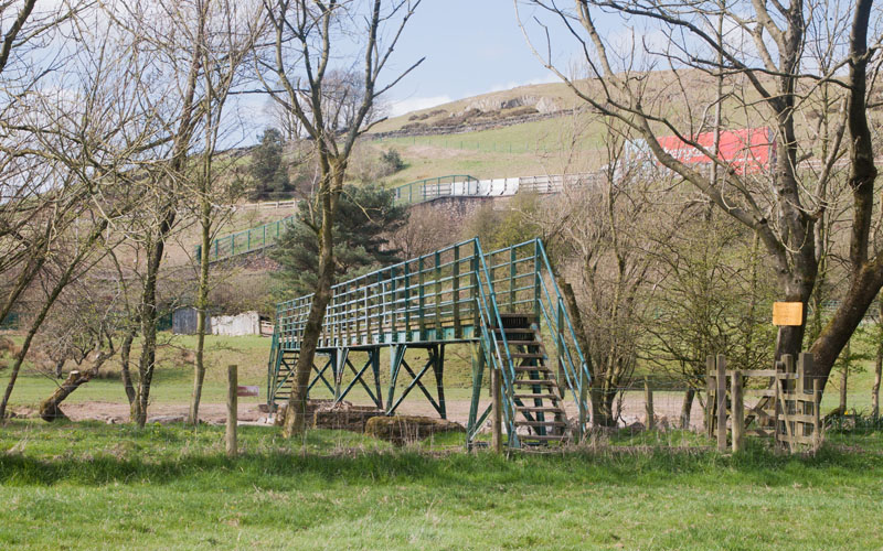
… the path turns sharp right and then left to take you over the footbridge pictured.
|
|
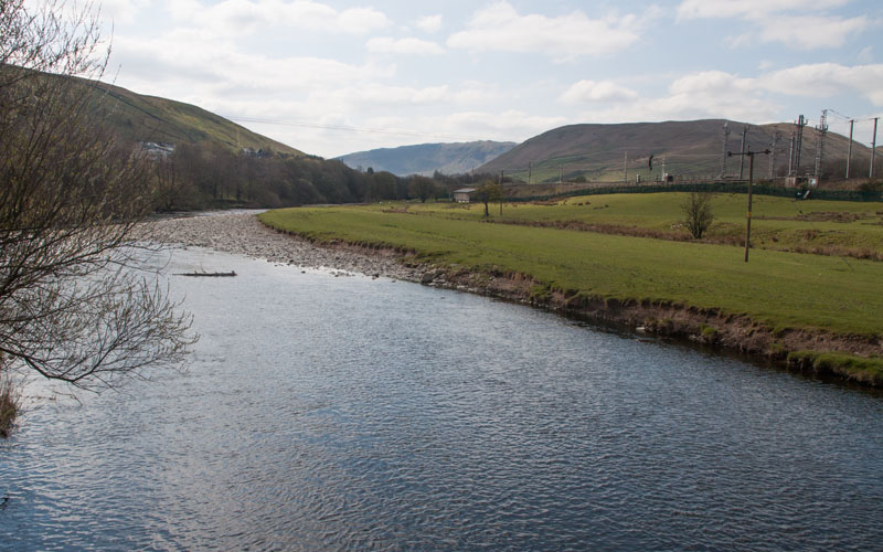
This is the view south from the bridge looking down the River Lune as it enters the Lune Gorge.
This is the narrow gap between the enlarged Yorkshire Dales and Lake District National Parks.
Modern transport links make use of river valley.
|
|
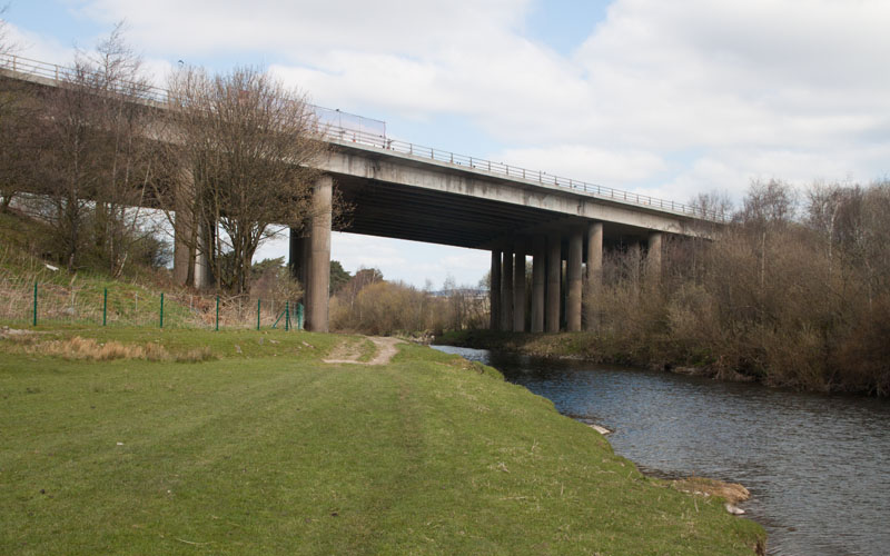
Once across the river turn right to follow the path under the motorway viaduct
(there was a sign pointing only south -
but the footpath runs alongside the river in both directions.
|
|
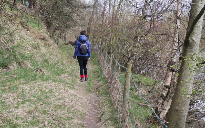
After passing under the M6 look out for a wooden stile taking you across a post and wire fence.
The path then follows the river through a wooded area: primroses and celandines were in bloom when
we followed the route in April.
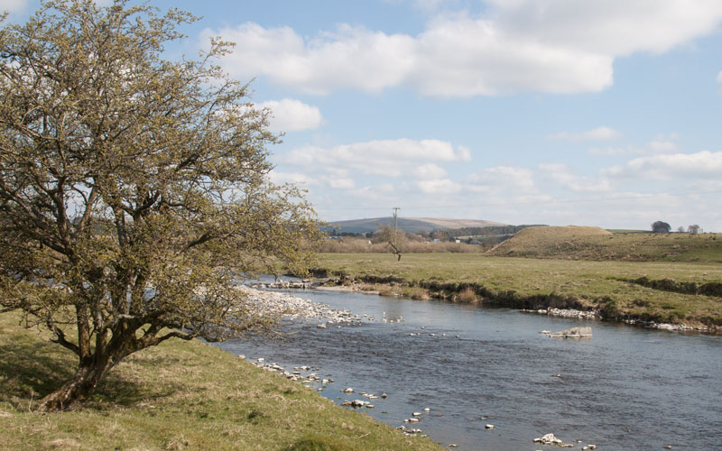
A wooden gate leads into …
|
|
… a field. Whilst crossing the field you have a clear view of the Motte and Bailey castle across the river.
|
|
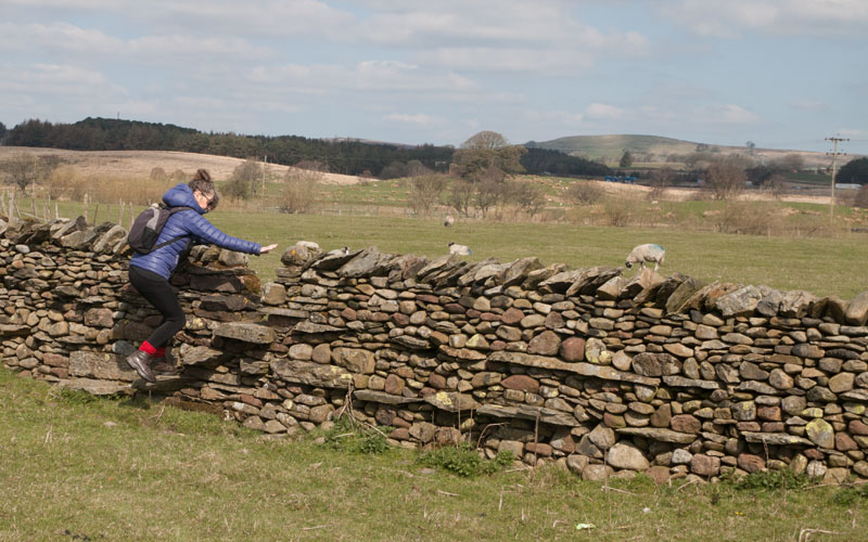
Leave the field by crossing the stile pictured. Turn right along a farm track and cross a bridge over Birk Beck.
|
|
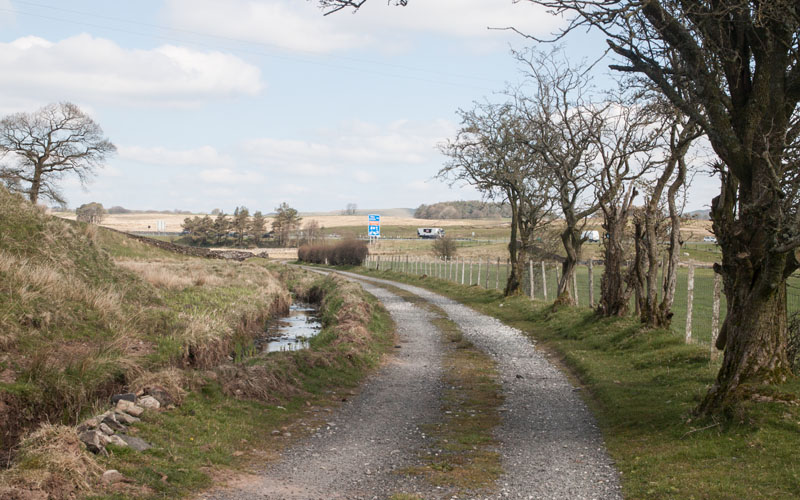
Continue along the track and follow it under the motorway …
|
|
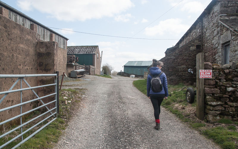
… to walk between farm buildings at Bybeck
|
|
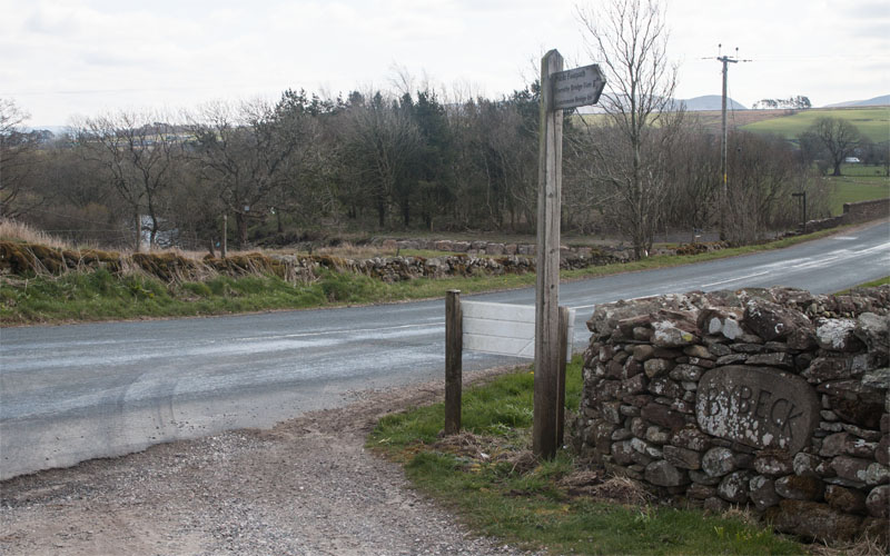
The track leads you to the B6260. Turn right and then (before crossing Tebay Bridge)
follow the path indicated by a finger post on the left.
|
|
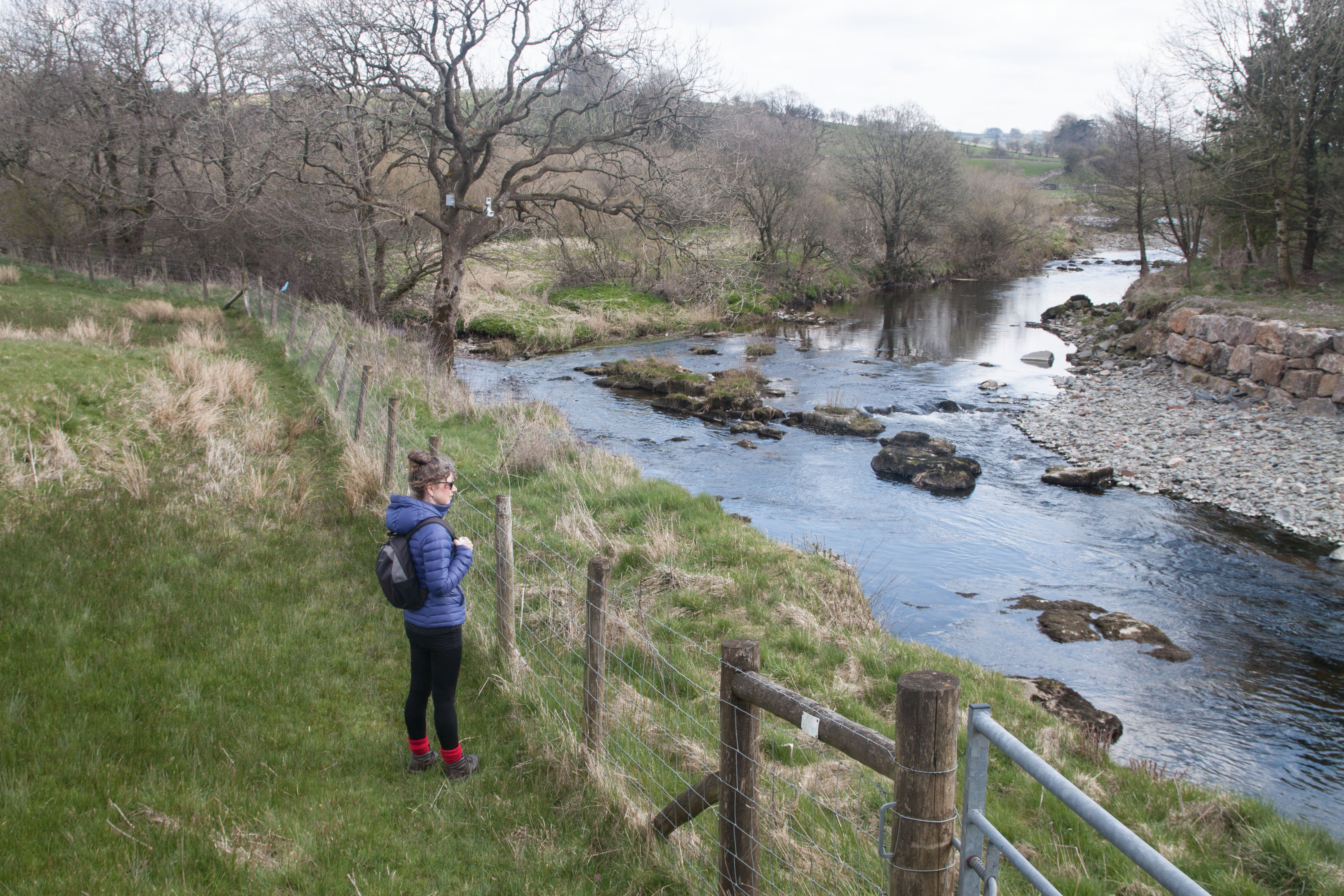
The path takes you north east, away from the river.
|
|
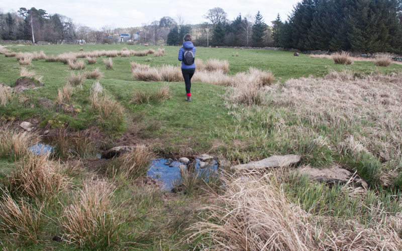
The route crosses a muddy field before you climb a stile in the stone wall.
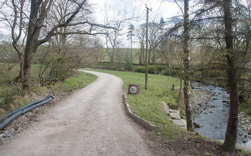
A clearer path then runs alongside a post and wire fence on your right. Go through a gateway and turn right …
|
|
… on to a farm track running alongside a stream. Follow the track as it curves round to the east and then
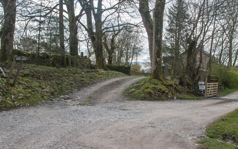
south to cross the stream. Turn right …
|
|
… and then bear left where the track forks. Pass through a gateway and converted farm buildings on the right.
Opposite the last building …
|
|
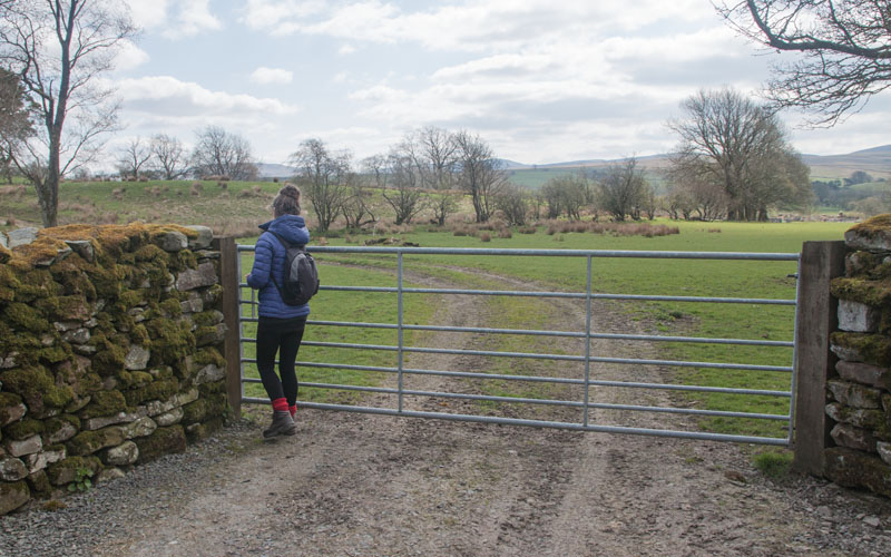
Turn left, through the gate pictured. Follow the track through the field.
|
|
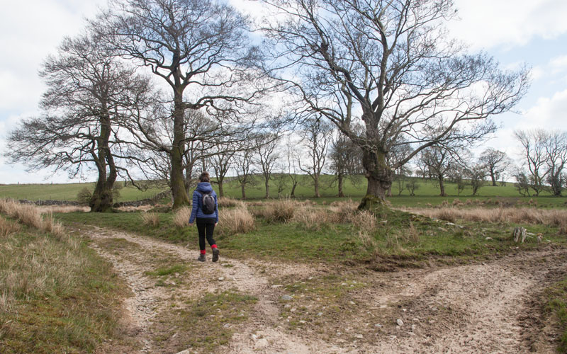
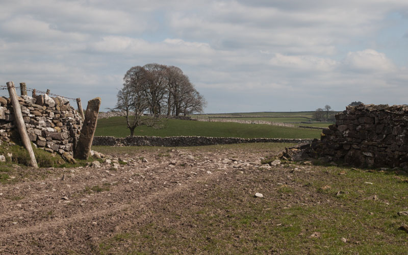
Bear left where the track forks and follow a stony track leading uphill …
|
|
… through the gap in the stone wall pictured.
|
|
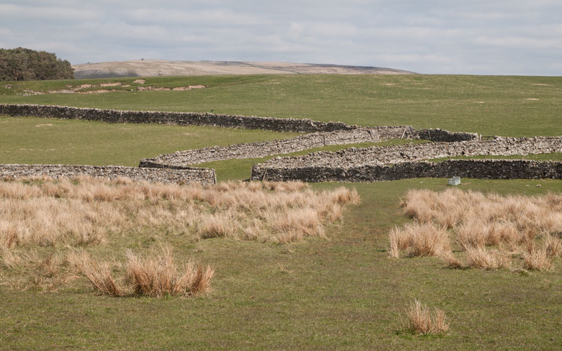
As the ground levels out continue through gateways to walk alongside a stone wall on your right.
|
|
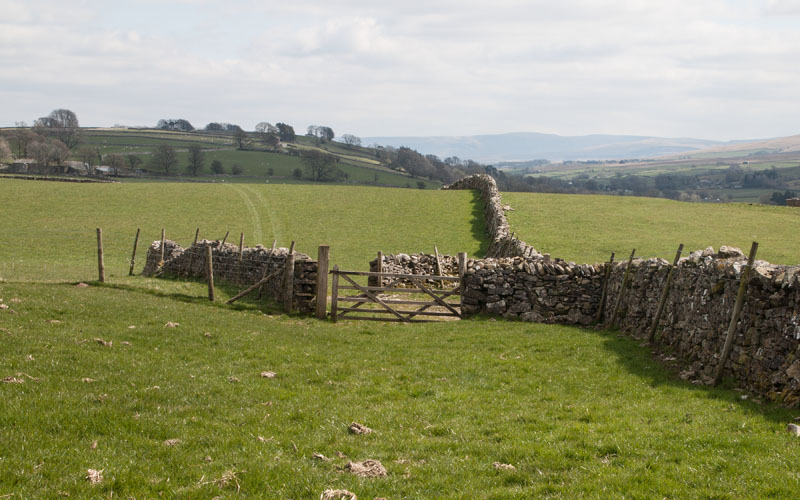
Pass through the gate pictured and then almost immediately through a second gate on the right.
Turn left to continue walking east - but now with the wall on your left.
Continue to walk alongside the wall as it turns to the south east, then walk through a wooden gate in the wall on your left …
|
|
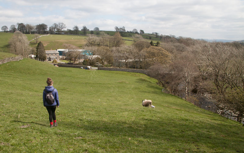
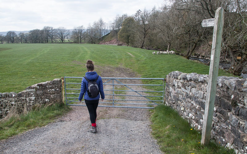
… which leads into the field pictured. Walk towards the metal gate in the far wall. Go through the gate, turn right along the B6261,
cross over the river …
|
|
... and immediately turn right (the finger post says A685). Walk through the field following the river …
|
|
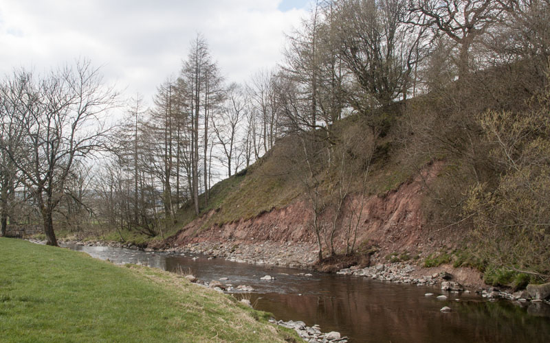
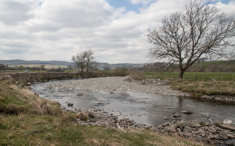
… passing this area of erosion on the northern bank. The route passes through a wooden gate …
|
|
… and as the river meanders there is an area of deposition on the northern bank,
whilst the southern bank has been protected with huge stone blocks. At this point our path continues south west,
away from the river …
|
|
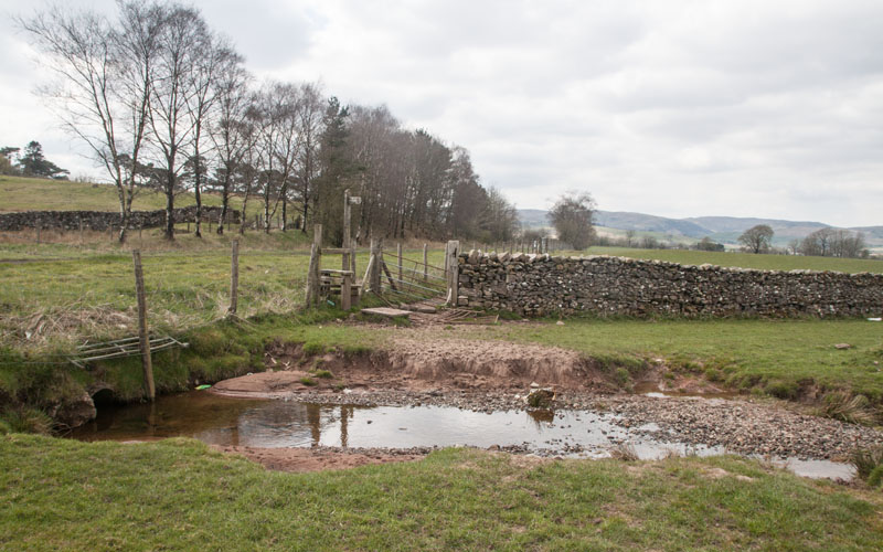
… towards a stile leading to a wide grassy verge by the A 685. Turn right to walk along the verge,
back in the direction of Tebay.
|
|
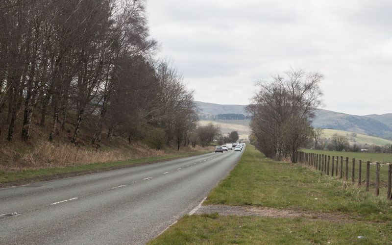
We had intended to take a path on the left - probably close to where this photograph was taken - but we missed it! It would have taken us in a loop away
from the road for a short distance - but we continued along the road …
|
|
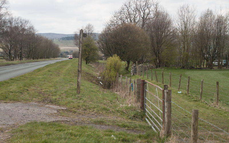
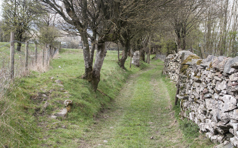
… until we came to the finger post pictured. We went through the gate and walked along ...
|
|
…. this narrow lane.
|
|
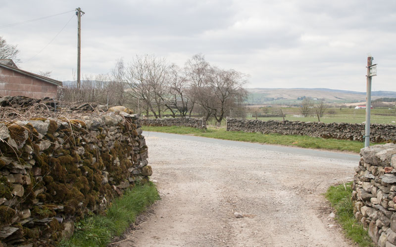
Turn left when you meet the road …
|
|
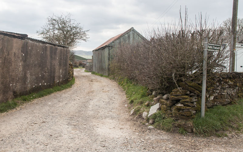
… and immediately left again, following the track pictured.
|
|
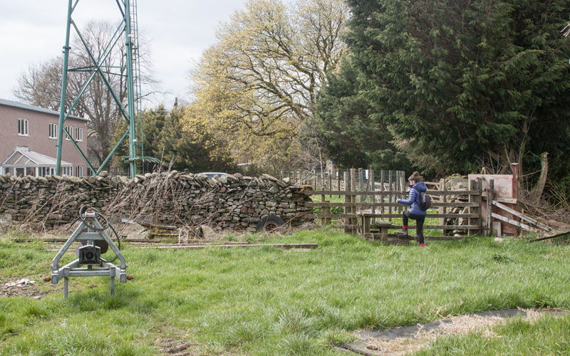
Cross over the stile near to a transmission mast. The path passes a car park for industrial/retail units on the left,
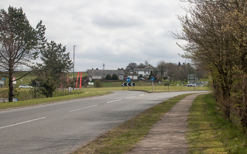
before re-joining the road opposite Junction 38 Services. Turn left, …
|
|
… cross the road and walk up to the roundabout.
|
|
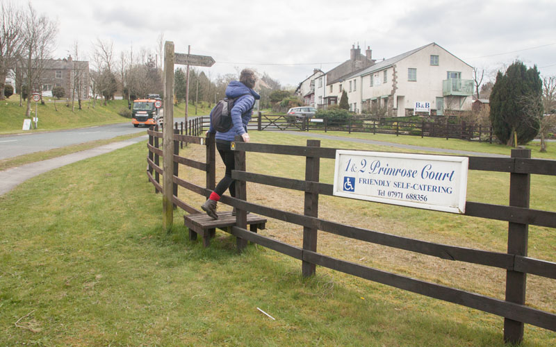
At the roundabout go straight ahead towards Tebay, then climb the stile on the right.
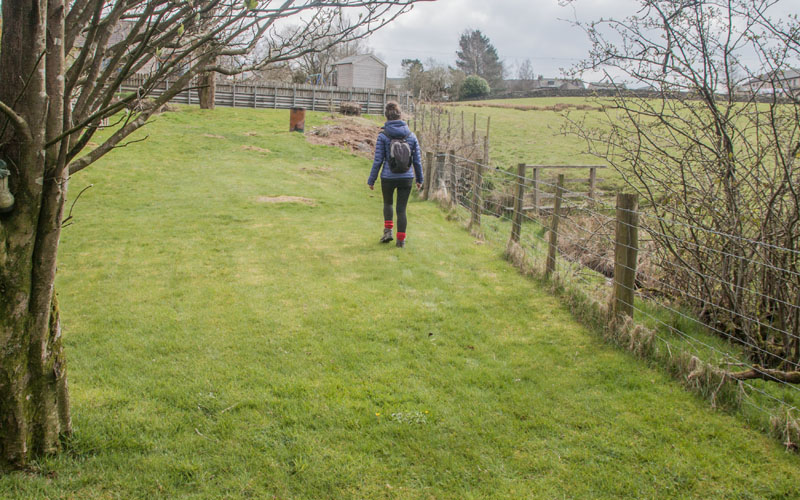
Follow the direction indicated by the footpath sign. When you reach …
|
|
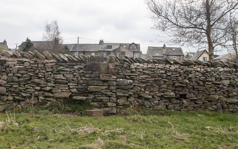
… the post and wire fence, walk towards a stile. Cross the stile and a small footbridge. Go south across the field to …
|
|
… a stone stile in the wall along the top of the field. Keep to the right of the field and
cross a wooden ladder stile leading to Church Rise.
|
All text and images © Graham Dean, May, 2019.
