|
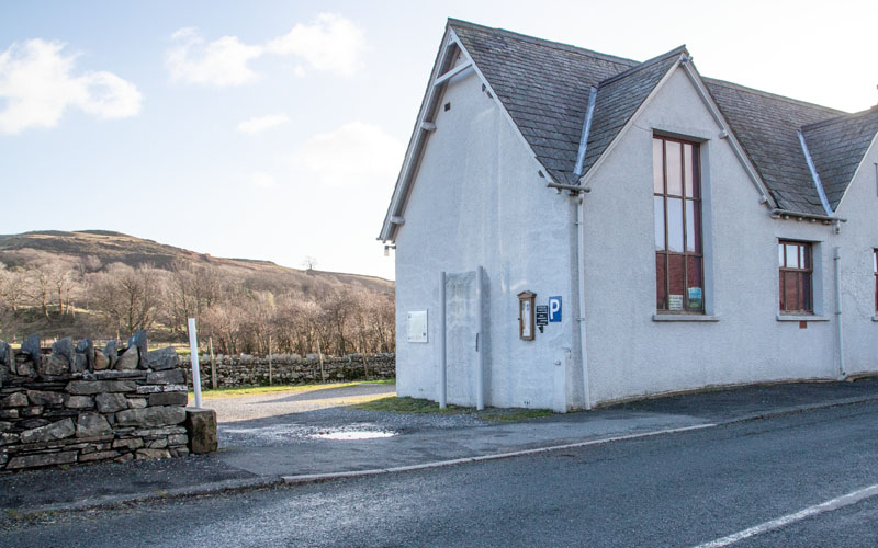
The car park was nearly full on a mid-week day in January, so I would imagine it would fill up quickly at weekends and in summer.
We walked out of the car park and turned left ...
|
|
|
|
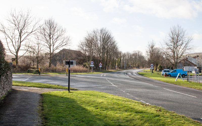
… to follow the A593, passing the Wilson Arms. At the road junction pictured we turned left to follow the A5084 for about 50 metres.
|
|
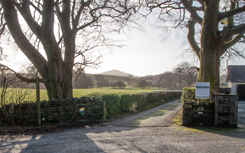
We then turned right along Sattery Lane – the sign announced that it led to Shepherd’s View Caravan Site.
|
|
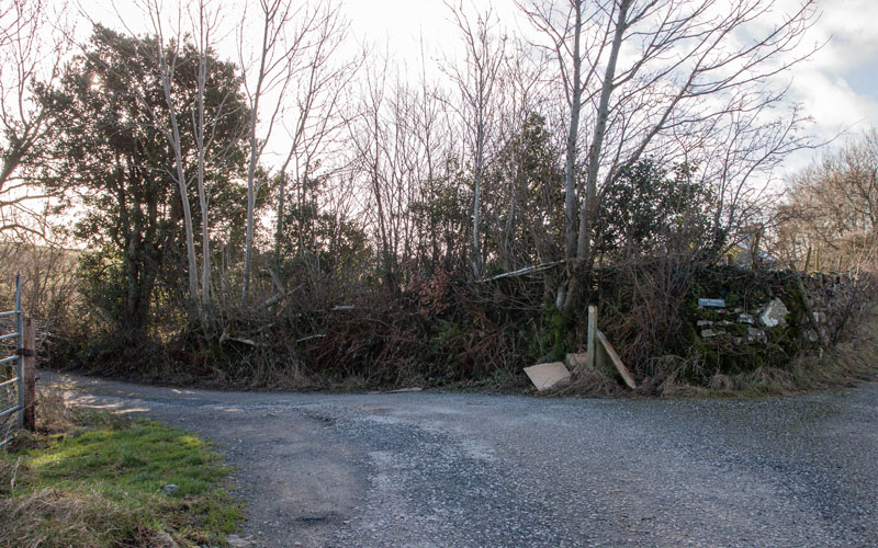
After passing the small caravan site on the right and about 370 metres after leaving the road there’s a junction of paths.
Follow the public right of way to the left (there’s a sign indicating that it the direction for Park Ground).
|
|
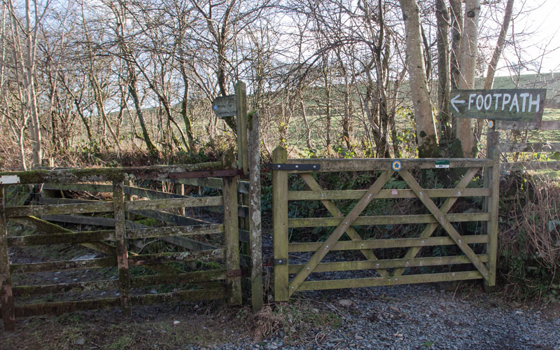
There’s no mistaking that you need to turn left to pass through the gate at the next junction of paths – the landowner has put a large enough sign in place!
The smaller footpath sign indicates that it’s ½ mile to Mill Bridge.
|
|
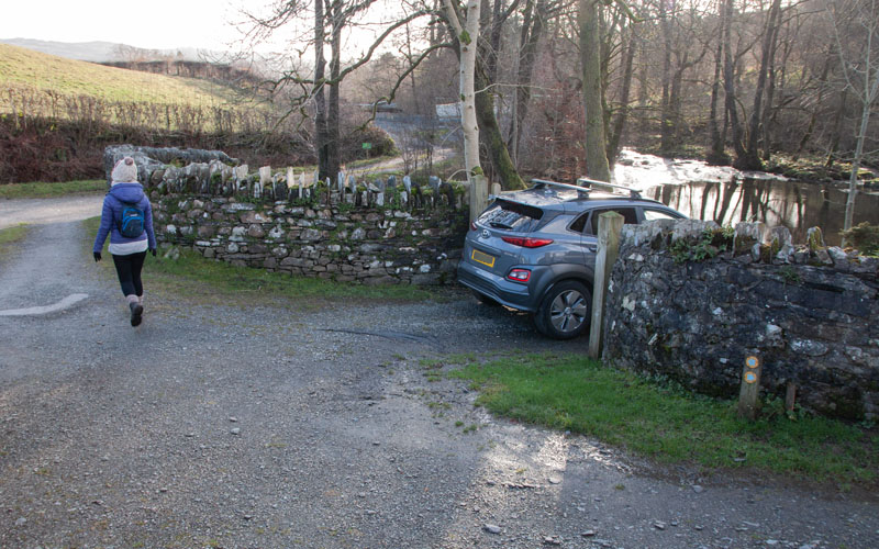
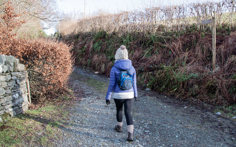
The path leads through 3 gates and then just before Mill Bridge we turned left to walk over the bridge and immediately turned left once again.
|
|
Follow the stony path for about 150 metres ...
|
|
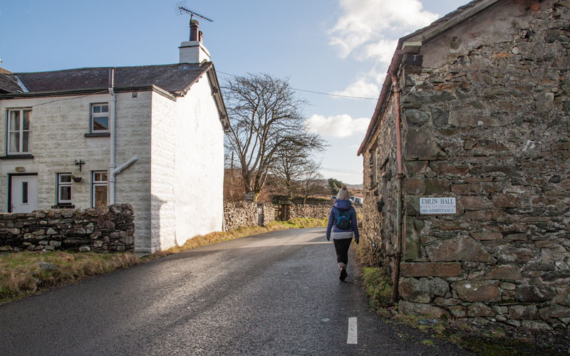
… until the path meets the A5084. Turn right, passing Elim Hall.
After about 90 metres cross the road (by Lakeland Landrover dealers) and walk through an area of rough land used as a small car park. Follow the ...
|
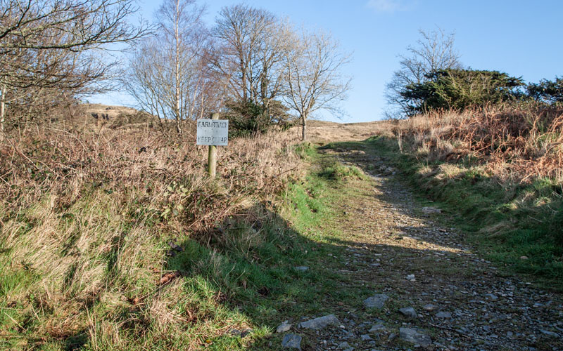
|
… track passing the sign pictured (Farm track keep clear),then through a kissing gate and passed a sign announcing that you’re on Torver Common.
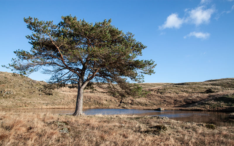
Although there are paths marked on the OS map – these don’t always match up with the tracks on the ground, but to start off we followed the clear path leading up to ...
|
|
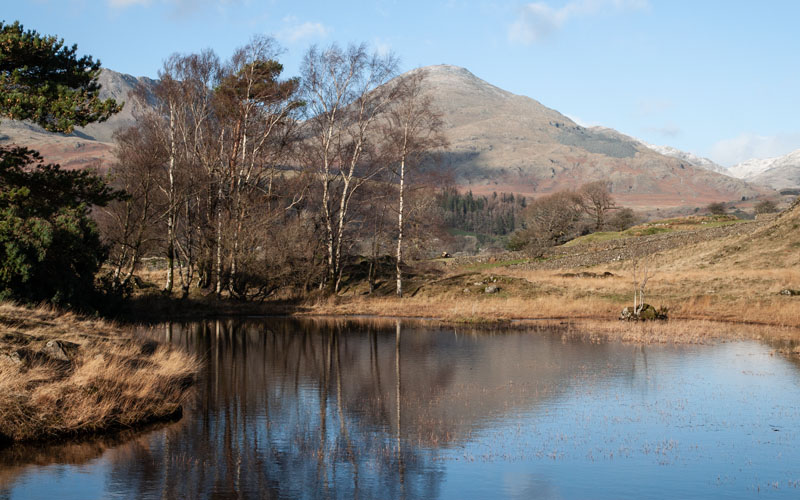
… Kelly Hall Tarn. Once we reached the tarn we walked anticlockwise round it ...
|
|
… to admire the view of the mountains reflected in the tarn. The map doesn't show path around the tarn
but it was clear from the ground that we weren’t the first to walk this way.
|
|
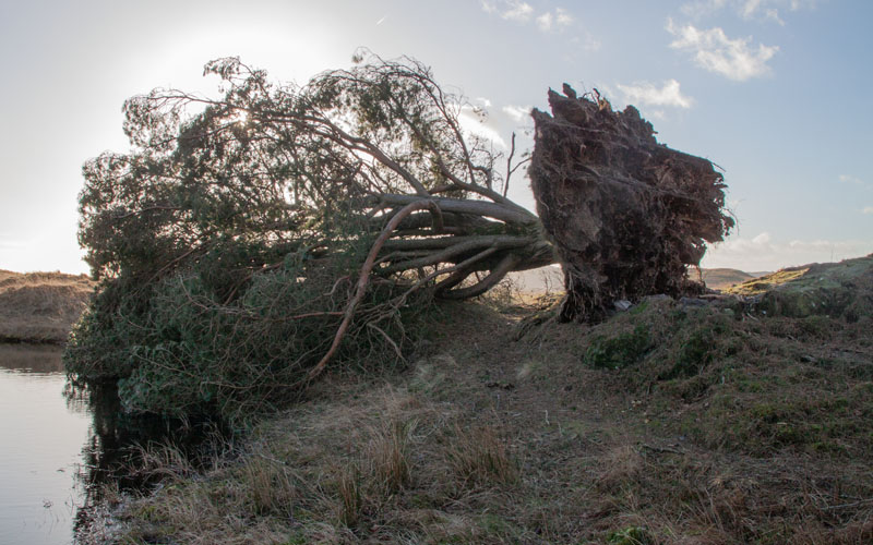
Returning to the main path, we took a backward glance at the damage caused by Storm Arwen in November 2021
(this storm damaged more trees in the UK than the great storm of 1987, though over a much wider area).
|
|
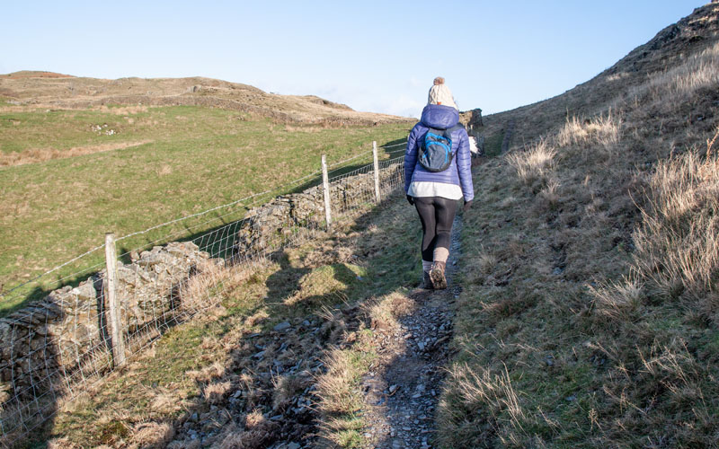
The path continues to ascend, running close to a stone wall, but continues north as the wall turns towards the west.
|
|
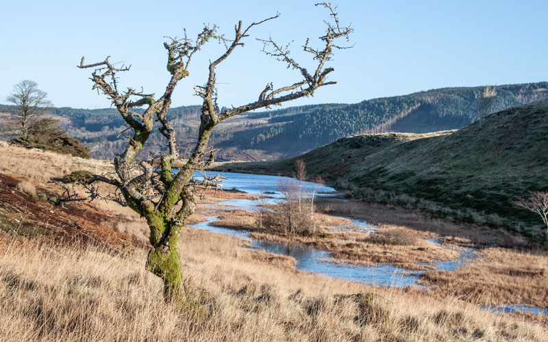
We left the path to obtain a better view of Long Moss.
|
|
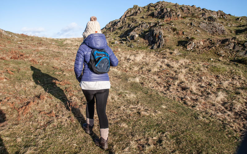
As the path continues to climb, it becomes less distinct on the ground. As we started to descend we turned to walk in a north easterly direction
(don’t worry if you you can't see a path on the ground –
if you keep heading north you’ll come to a field boundary which you can follow in a north easterly direction).
|
|
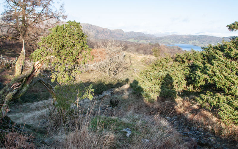
The path on the ground again matched the path on the map – but then vanished between bushes above a fairly steep sided valley.
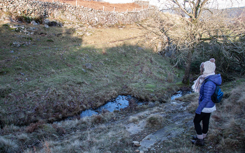
Our GPX trace shows that we had one false attempt at walking down to the stream – but managed to navigate between further bushes and descended to ...
|
|
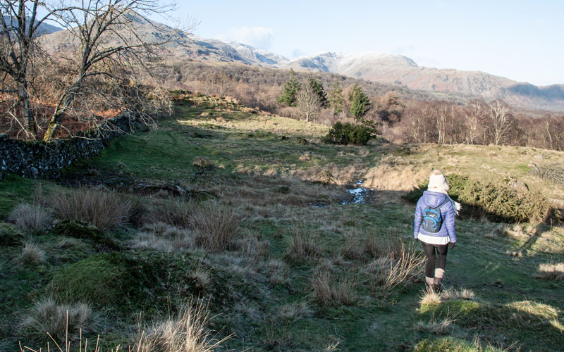
… the stream. After crossing the stream we turned right along a path by the stone wall in the picture.
|
|
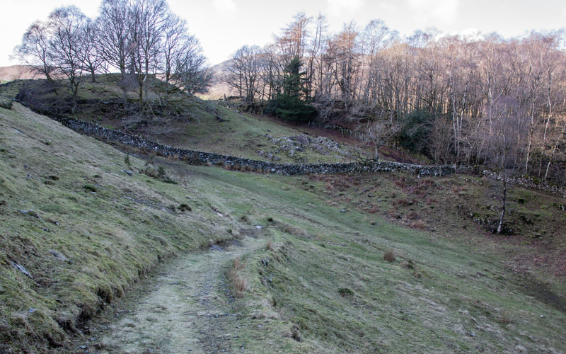
The wall takes a turn to the west, but we continued to follow a path on the ground that headed north ...
|
|
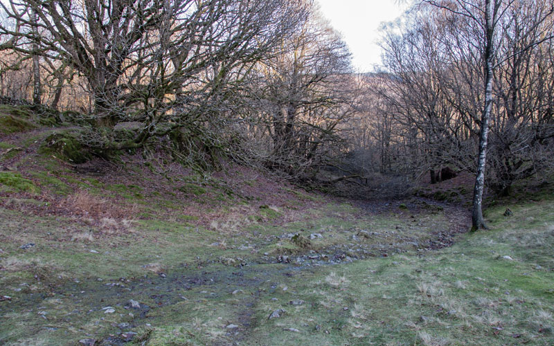
… the path turned westwards and descended to meet a ...
|
|
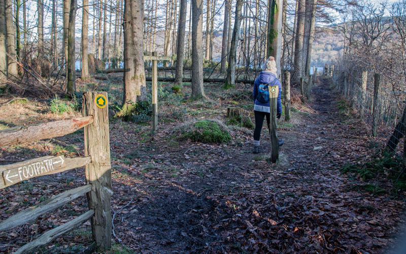
… a stony path. We turned right and walked gently downhill through ...
|
|
… woodland to the lake shore path.
|
|
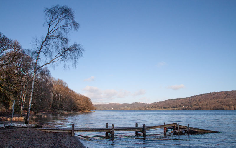
We turned left to follow the Cumbria Way north.
|
|
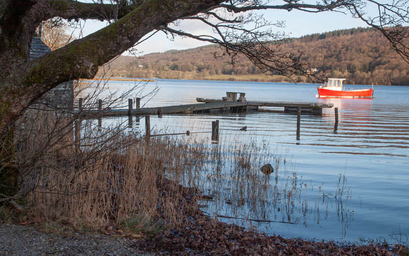
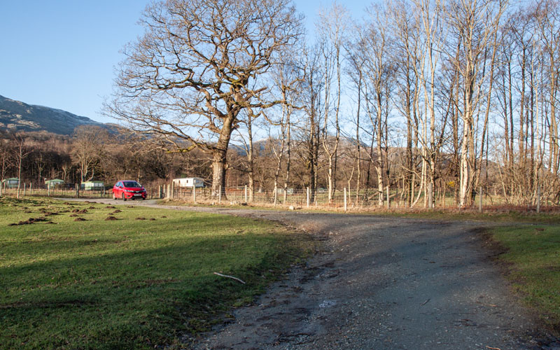
We followed the path by the lake for just over ⅓ mile, bearing left just beyond the jetty pictured ...
|
|
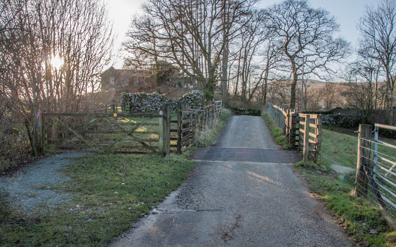
… to follow a well-made track.
|
|
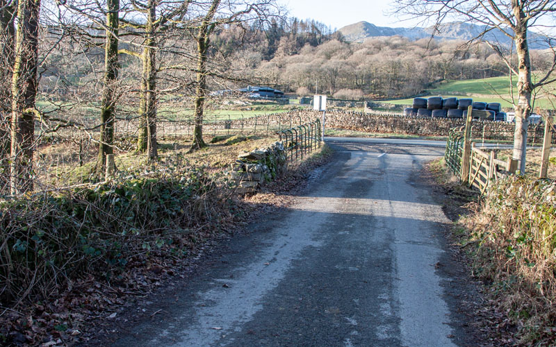
This took us over a cattle grid and passed toilet blocks for the National Trust’s Houthwaite Campsite ...
|
|
… before meeting a narrow road (almost 1 mile since leaving the lake shore). Turn right along the road,
which almost immediately crosses over a disused railway (our route back to Torver).
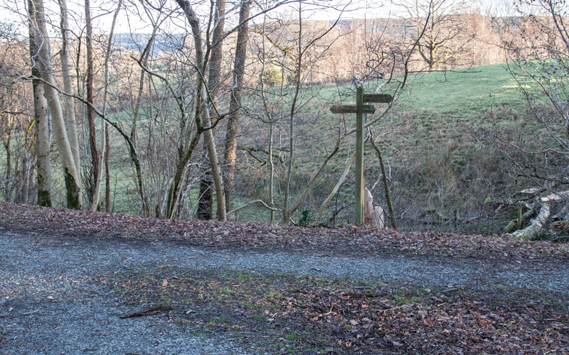
Pass through a gate on the right and follow the path ...
|
|
… down to the disused railway track, then turn right to ...
|
|
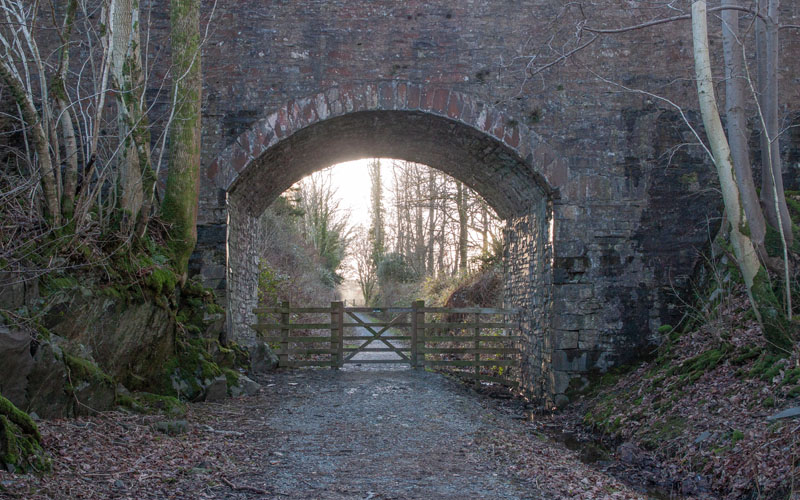
… pass under the bridge you’ve just walked over. The track runs for just less than half a mile before ...
|
|
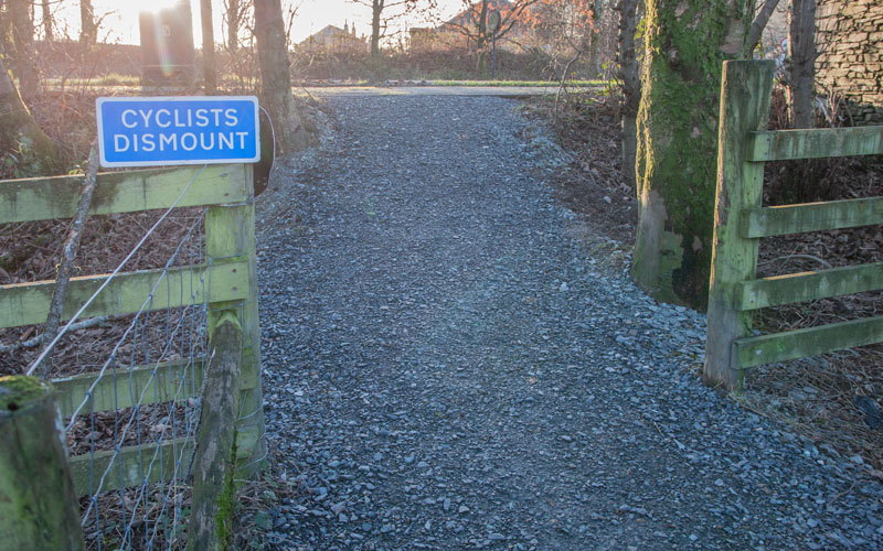
… meeting the A5084 in Torver. Turn right along the road, then right again to return to the starting point.
|
All text and images © Graham Dean, January 2022.
