| Map: | Sheet 308 Durham and Sunderland |
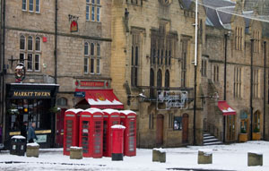
| Start: | Durham market place(NZ274425). This is actually a combination of three shorter walks which we completed from Fern Cottage, Gilesgate Green, where we were staying over NewYear. There is plenty of scope for shortening or varying the route. |
| Route: | Click here to view the route superimposed on GoogleEarth (GoogleEarth must be installed on your computer
in order to view - click here to download GoogleEarth).
Most of the route described follows the banks of the River Wear along well surfaced paths (though when they were covered with snow and ice when we walked). As it is fairly level, I haven't included a profile. |
| More info: |
Wikipedia article on Durham Visit County Durham tourist information website |
| Refreshments: | Very wide range of pubs and tea shops in the city. The Rose Tree Inn at Shincliffe. |

|
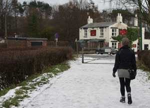
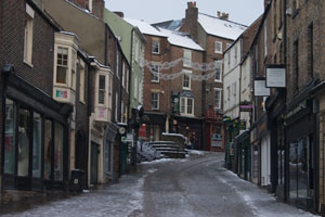
Leave the Market Place by walking along Sadler Street (opposite the town hall and market). Turn left down to Elvet Bridge, but before crossing the river, climb down steps on left to the riverside path. Turn left and continue along this path for about 0.8 mile, first passing university buildings, then Pelaw Wood. Where the riverside path curves to the right, go straight ahead, walking towards an old railway bridge. Old Durham Farm is on the left as you cross a footbridge over Old Durham Beck. The path leads round the left of the disused railway arch, and then continues ahead to re-join the riverside path. Walk by the river until a road is reached, with the Rose Tree pub across the road (we were too early for refreshments there - it opened at noon). |
|

|
Turn right along the road to cross the river, then right again to follow the river back to the city along the opposite bank. The path first passes playing fields, then through a wooden kissing gate to pass by a wooded hill, the site of an iron age fort. | |

|
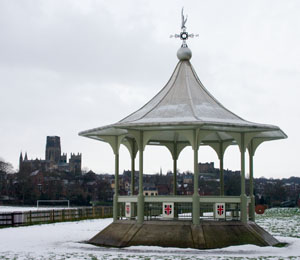
At a junction of paths, continue along the river, then after about 250 metres follow the track away from the river. Almost immediately take a track on your right, cross an access road, then follow another track to the right. Walk round the metal barrier and continue along the riverside. The path takes you past the bandstand pictured, before leaving the riverside between buildings. Turn left along Territorial Lane towards Elvet Methodist Church. Turn right again, into New Elvet. At traffic lights bear left into Church Street, then take the footpath on left which leads to the right of the church and down to the river. | |

|
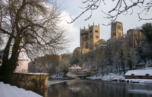
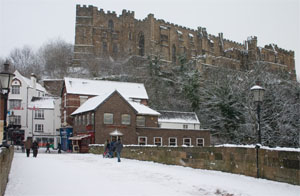
Continue along the riverside path as it loops around to the south of the city centre. You pass Prebends Bridge, classic views of the Cathedral and a weir before leaving the riverside path by the Coacj and Eight. Climb steps up to cross Framwelgate Bridge. | |

|
Walk up Silver Street past the first building on the right (Cafe Rouge). Turn right down steps between buildings (signed Cathedral and Castle). Where the path divides, keep right. | |

|
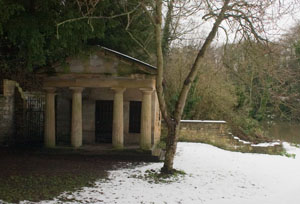
The path follows the river, passing below the cathedral, a sculpture of strange heads, under Prebends Bridge, past the Greek style building pictured left, under the concrete footbridge (Kingsgate Bridge) before returning to Elvet Bridge. | |

|
Go under Elvet Bridge, then turn sharp left to climb steps up to the road. Re-trace the original route to the Market Place. |
Back to:


