|
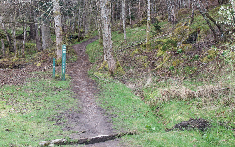
Leave the car park following the track which leads uphill, away from the road.
|
|
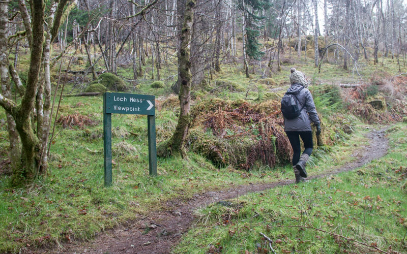
Follow the track until you see the sign for Loch Ness Viewpoint - turn right to follow this path.
|
|
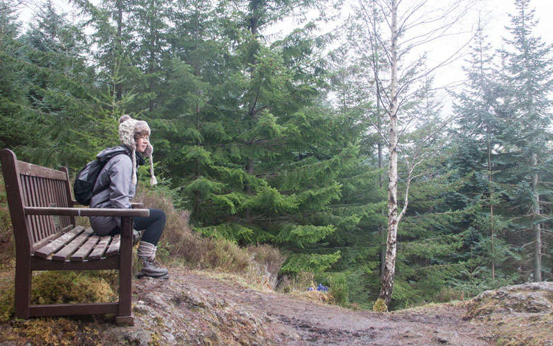
There will be better views of the loch further into the walk - but we still paused for a rest on the bench
(other places from which you can view the loch don't have this luxury)!
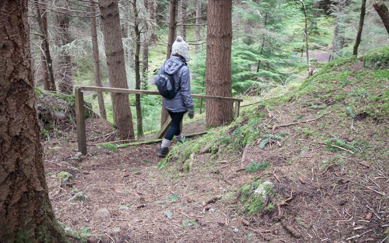
Continue to follow this path (marked with yellow markers)
|
|
until you descend to re-join the main track where you turn right.
|
|
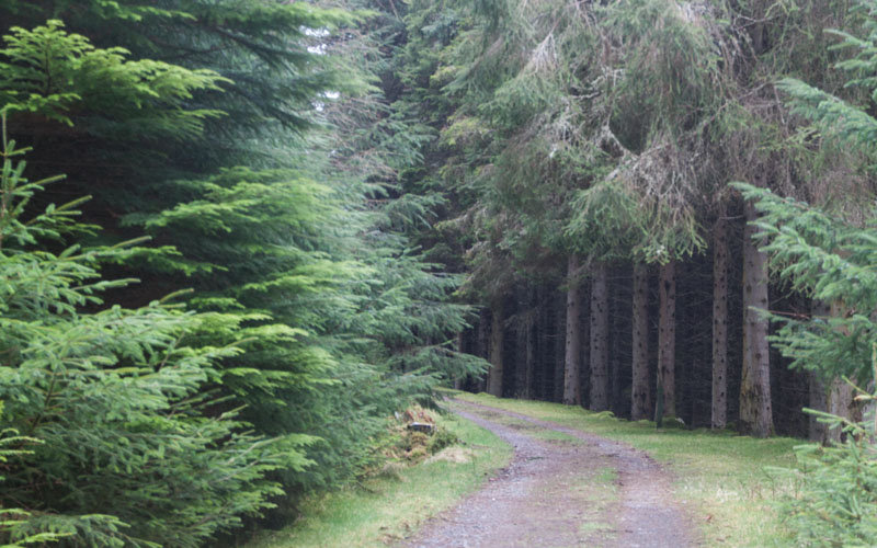
Follow the wide forest track.
|
|
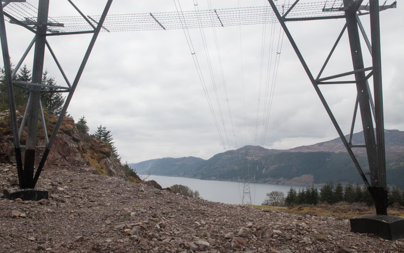
After about half a mile from re-joining this track there is another view of the loch where there is a clearing for the overhead power cables.
|
|
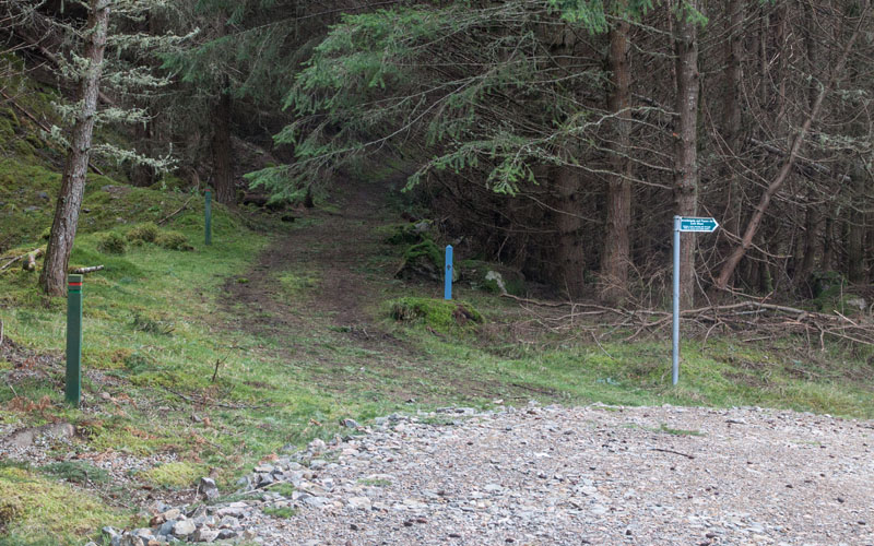
Where the main track bears to the right continue ahead, following the blue waymarkers with the squirrel logo (these are South Loch Ness Trail markers).
|
|
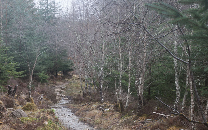
The track becomes narrower
|
|
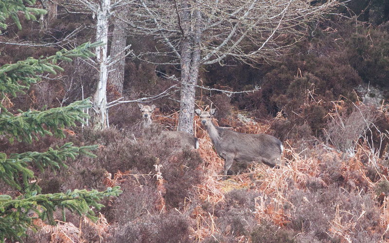
and it was in this area that we came across the first deer - not sure who was more startled, us or the deer!
|
|
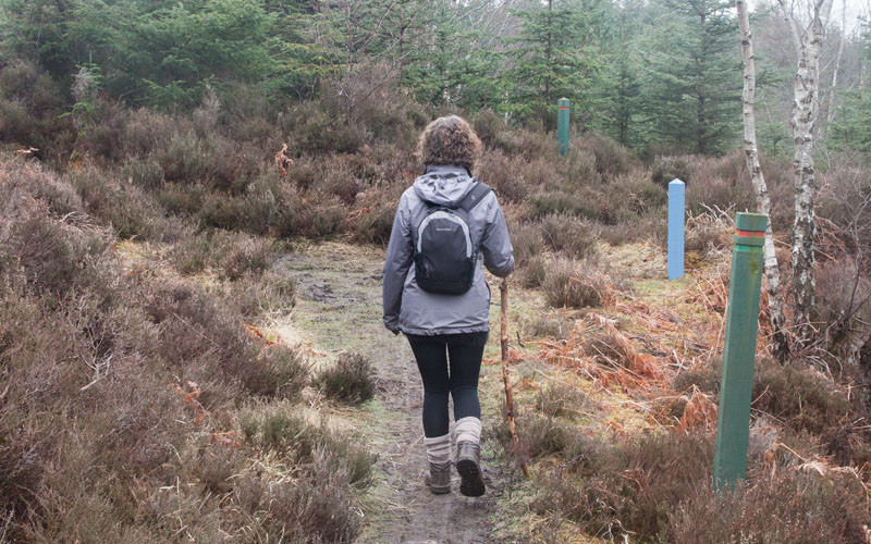
In places the route was well marked with both the South Loch Ness Trail markers and the forestry commission markers with red rings
(not sure which route these were for).
|
|
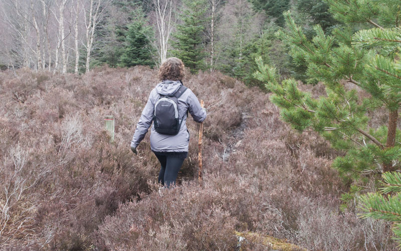
But in some places, between markers the path became so narrow it wasn't easy to follow!
|
|
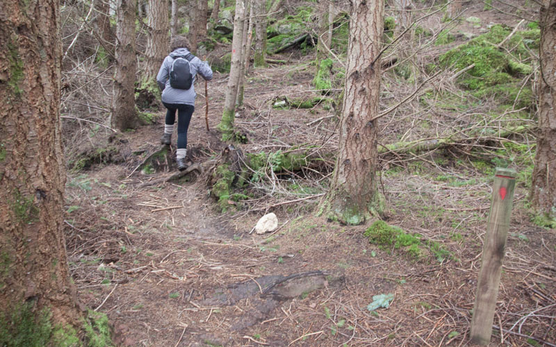
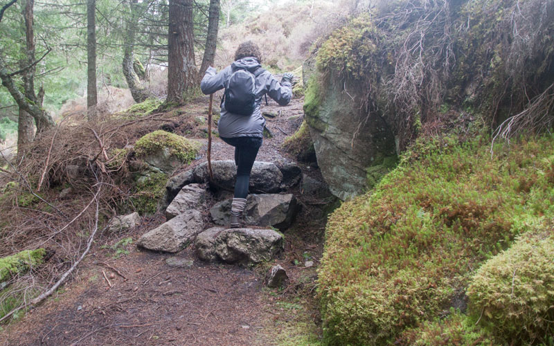
After a stretch that is fairly level, the path climbs.
|
|
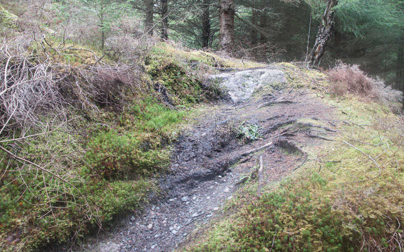
At the top of these steps
|
|
the path bears sharp right (not obvious - we missed it here and had to re-trace our steps to pick up the correct route).
|
|
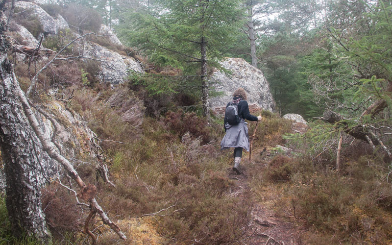
The route continues around a rocky outcrop - there's even a chain handrail to help you round the narrowest bit!
|
|
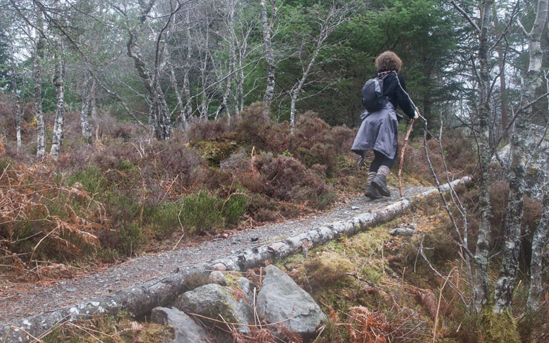
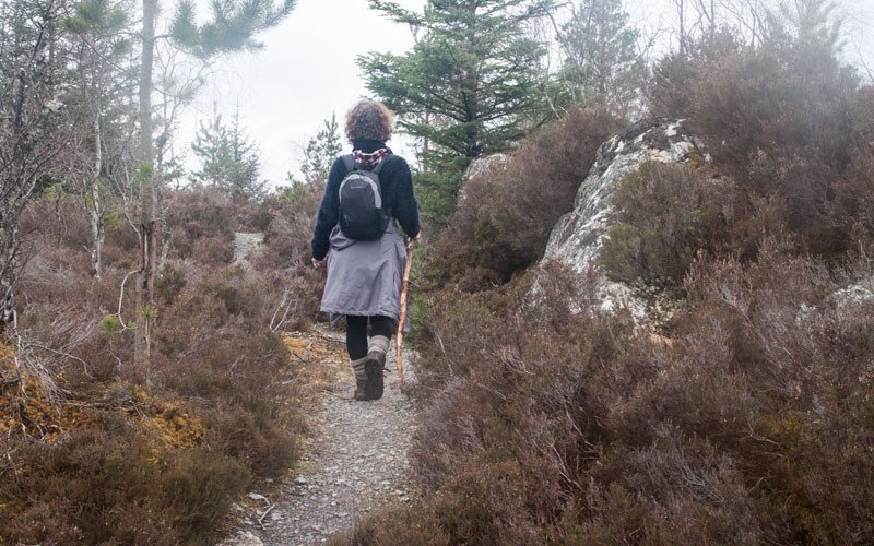
The path becomes easier to follow again
|
|
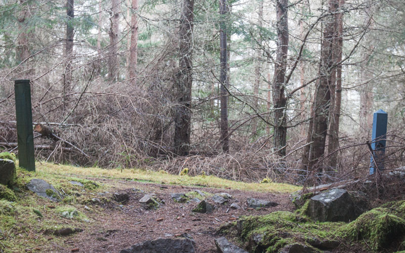
though it's still quite narrow, but soon
|
|
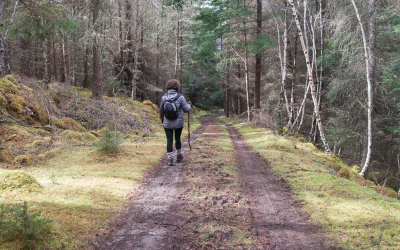
descends to meet a much wider forest trail. Turn right
|
|
to follow this track.
|
|
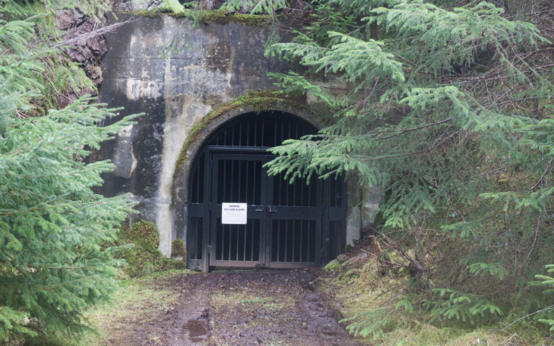
On your left you pass this intriguing tunnel entrance (protected by CCTV and alarms) - from research after we'd completed the walk, I think this must me a maintenance tunnel for the hydro-electric scheme.
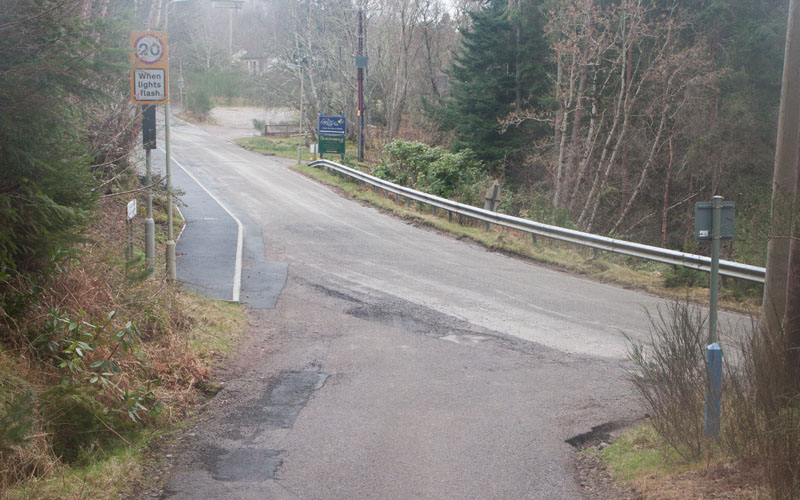
Continue along the broad track, passing round a metal gate before joining a surfaced driveway. Continue ahead for a short distance
|
|
to join the road. Turn left.
At the sign for the Craigdarroch Inn we were tempted to turn right - but we knew that the café further up the hill was open - and not sure about the pub, so we opted to continue walking along the road and up the hill.
|
|
After refreshment at the Waterfall Café we crossed the road to the viewpoint and entrance to a network of paths.
For those who haven't visited the Falls, it's worth detouring from the route and taking the path down to the falls
(the only problem is that you have to climb most of the way back up to re-join a path to Lower Foyers).
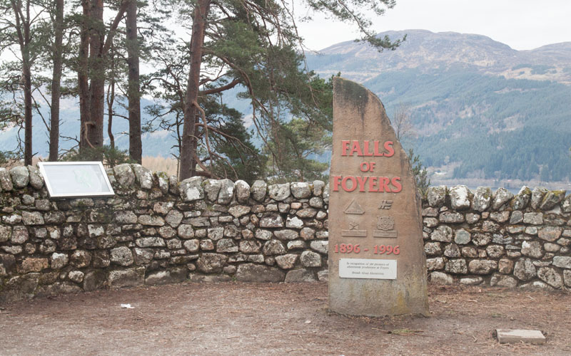
As we had visited the Falls on the previous day, we took the path to the right of this commemorative stone.
|
|
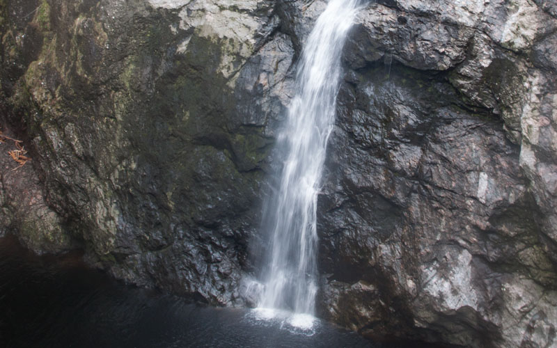
Whether you make the detour to view the Falls or not - here's a picture! On the stepped path that leads down to them are lines from a poem by Robbie Burns,
inspired by his visit (reputedly written in pencil on the spot):
Among the heathy hills and ragged woods
The roaring Fyers pours his mossy floods;
Till full he dashes on the rocky mounds,
Where, thro' a shapeless breach, his stream resounds.
As high in air the bursting torrents flow,
As deep recoiling surges foam below,
Prone down the rock the whitening sheet descends,
And viewles Echo's ear, astonished, rends.
Dim-seen, through rising mists and ceaseless show'rs,
The hoary cavern, wide surrounding lours:
Still thro' the gap the struggling river toils,
And still, below, the horrid cauldron boils.
Since the inception of the hydro-electric scheme which takes water from the stream above the Falls - they are never as dramatic as they once were!
|
|
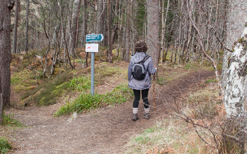
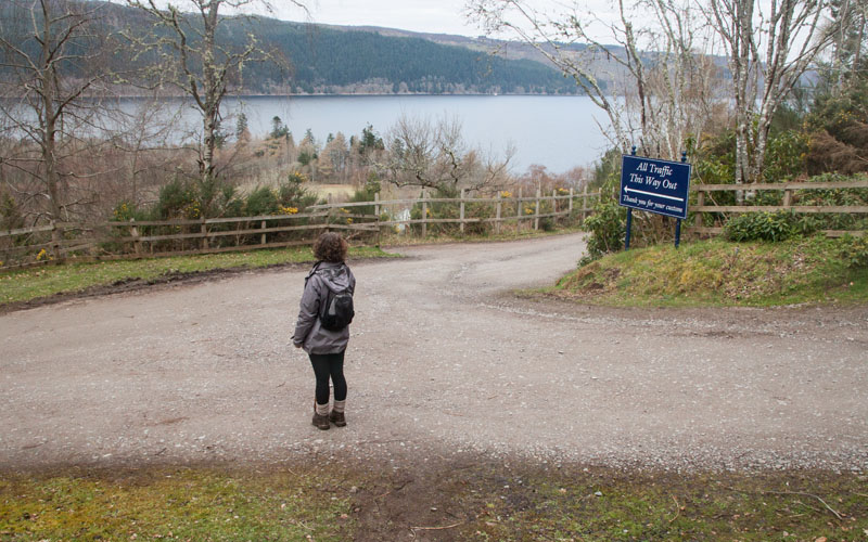
We followed the sign pointing the way to Lower Foyers.
|
|
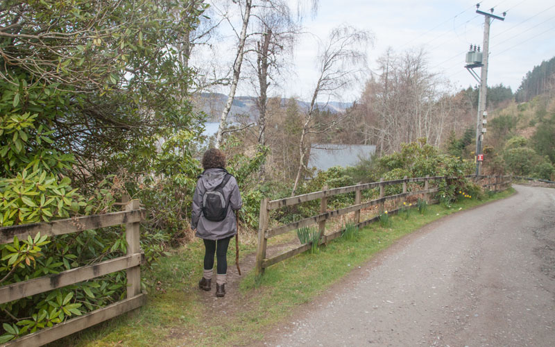
This dog-legged across the road to the pub
|
|
and through gaps in fences.
|
|
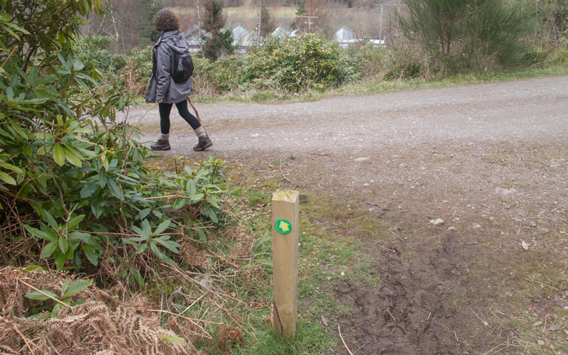
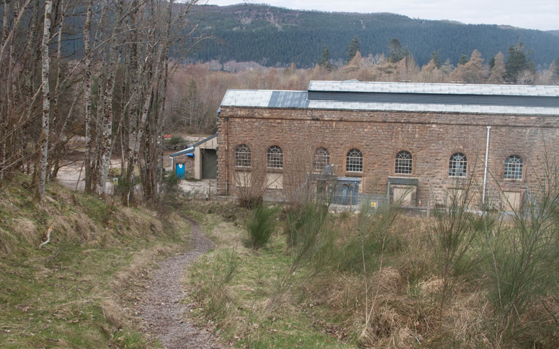
Sometimes with waymarkers to make sure you're on the right path - but as long as you keep heading
|
|
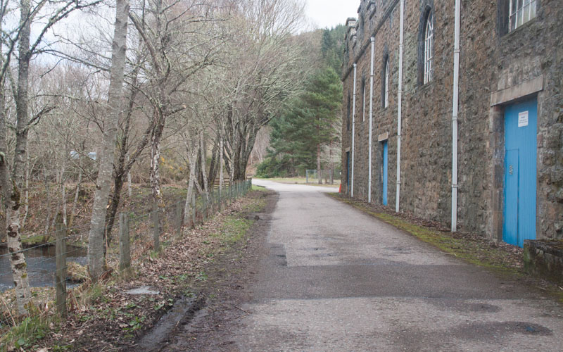
downhill, you'll eventually emerge by the former aluminium works (now housing enlarged hydro- electric generators).
|
|
Walk along the roadway between the loch and the former aluminium works, now heading back towards Inverfarigaig.
|
|
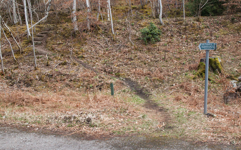
Take the path on the right signposted for Boleskine Road and Inverfarigaig via Loch Ness shore. At the top of the steps turn left to
follow the path which gently climbs for just under half a mile.
|
|
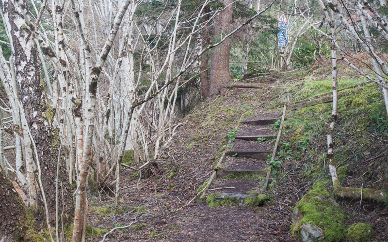
Climb the short flight of steps pictured to meet the road. Turn left
|
|
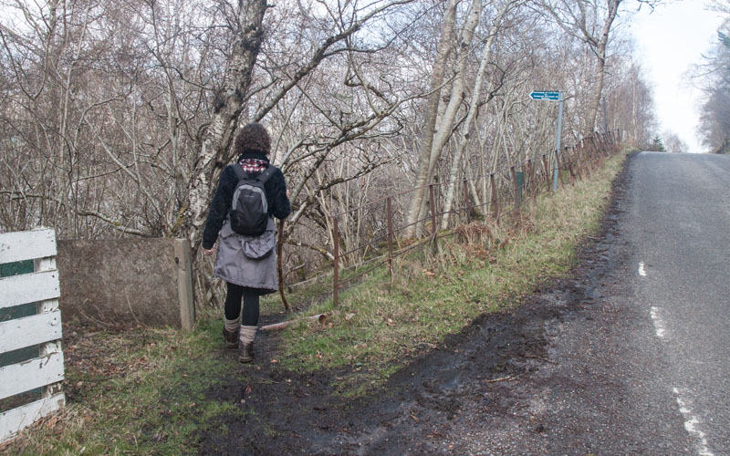
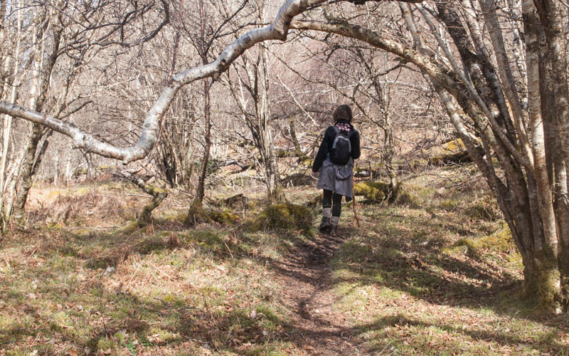
and walk along the road for just less than 200 metres. Take the narrow path leading away from the road on the left
(the sign is a few metres further along the fence). The path leads gently downhill, over a stile
|
|
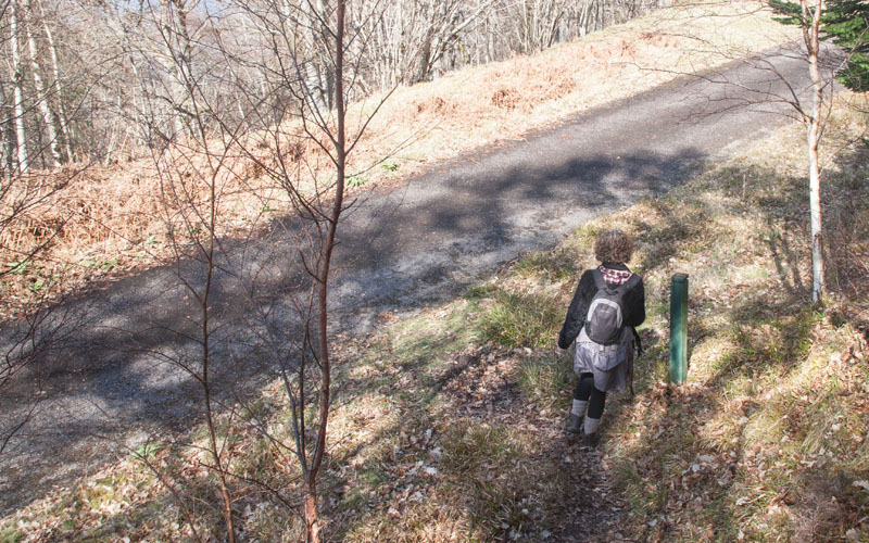
and through woodland. It was on this section of path that we came across another group of deer
|
|
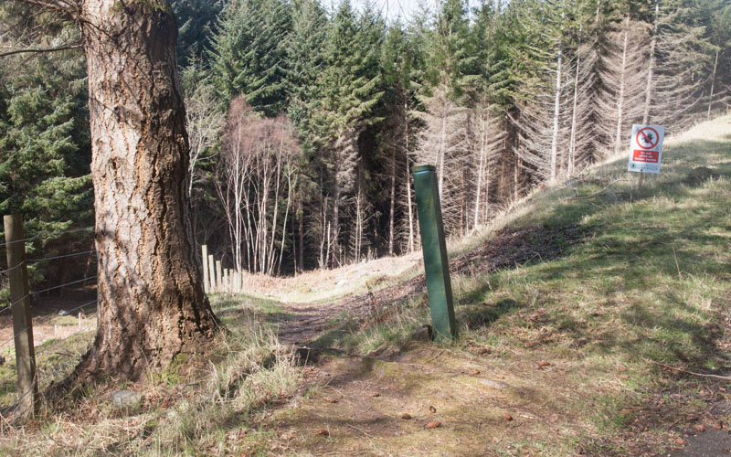
The path meets a road. Turn right to follow this for just over 400 metres, until you pass an electricity substation on the left.
|
|
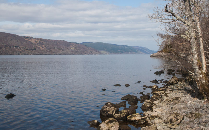
At the other side of the substation follow the path on the left, down steps and then more gently to
|
|
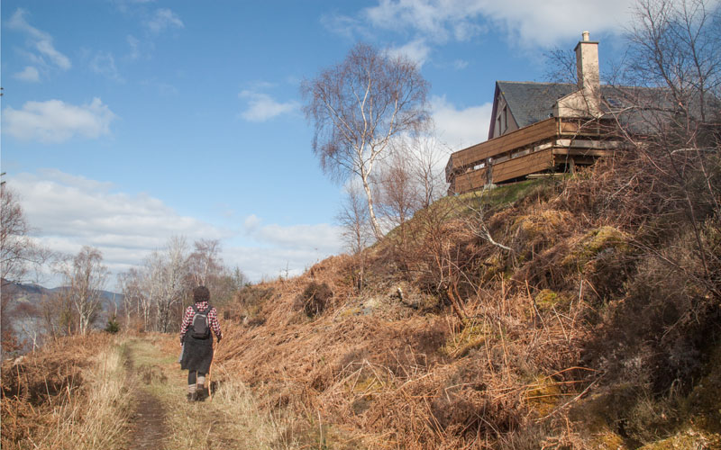
the loch shore. Continue along the path
|
|
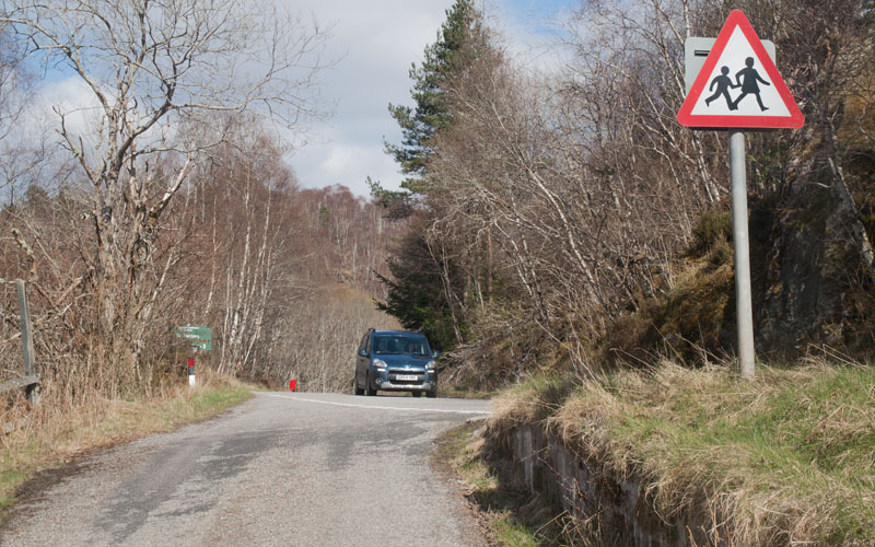
as it turns away from the loch and ascends to meet the access road to a scattered group of houses.
|
|
Turn left where this meets the main road close to the car park. Follow the road back to the starting point.
|
All text and images ©Graham Dean, June, 2016.


