|
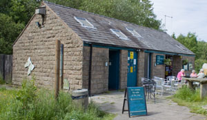
Leave the car park on the path to the left of the cafe. This leads through a wooded area, then out on to the moors.
|
|
|
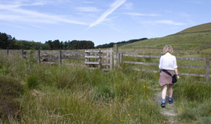
Leave the wood through a kissing gate and follow the path uphill and through another kissing gate.
At the next kissing gate, which has a Rossendale Way (RW) marker, don't go through the gate, but turn right.
|
|
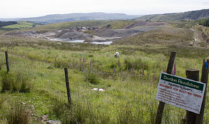
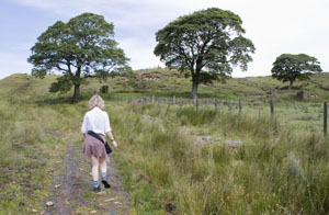
Follow the Rossendale Way as it skirts around the hillside, with the Jamestone Quarry on the right. Shortly
after passing the quarry the path drops steeply down to Deep Clough, then climbs the other side of the valley.
The path curves to the south, to meet a track.
|
|
Turn left to follow the track uphill for just over 300 metres. Turn right, continuing to
follow the Rossendale Way.
|
|
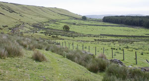
The path continues to skirt the contours passing above a disused quarry and a plantation.
At Windy Harbour Farm, follow the path to the left of the metal gates. This narrow path leads above the farm track.
At some point before the next field boundary, drop down to the track (we didn't drop down soon enough, so had to
negotiate a steep, muddy slope). Head towards a ladder stile, but don't cross it, instead take Cob Castle Road, which leads
past yet another quarry.
|
|
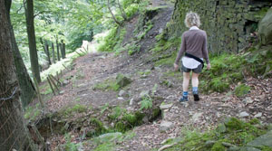
Although named as a road, the track varies in width, and in places appears to be blocked by trees, but there
is a way through!
|
|
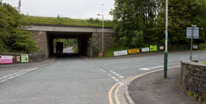
Continue downhill to industrial units, then turn right along St Crispin Way, which runs between the bypass and
more industrial units.
|
|
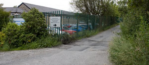
Cross the A6177 Grane Road at the pelican crossing, then continue in the
same direction with factory buildings on left. Follow this road towards a residential caravan park.
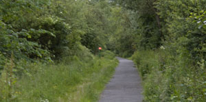
Just before entrance to park, take path on right, which leads to cycle path along disused railway track.
|
|
The path is well surfaced, and mainly level, though it does drop down to a bridge across a stream, where the railway
bridge has been dismantled.
|
|
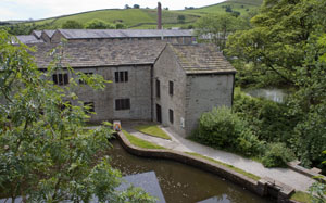
The trail continues along a viaduct above Helmshore Mills Textile Museum. After passing above the
museum car park, take steps down on right. If you wish to call at the museum, turn right and walk through the car park,
otherwise, continue ahead to the road.
|
|
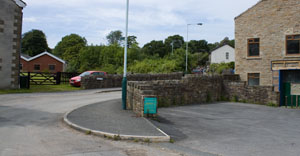
Turn left along Holcombe Road, walk in front of Musbury Fabrics' Park Mill, then turn right
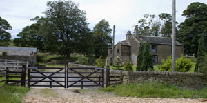
and right again to walk along Park Road (shown in photograph). Continue along the track until
you come to gateway to Kiln Field Farm on left. Cross cattle grid and walk toward the farm.
|
|
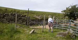
Cross the stile and walk past the farm buildings. Continue ahead between stone gateposts.
|
|
The path meets a track where we turned right to follow the track up and around to the top of Musbury
Heights.
|
|
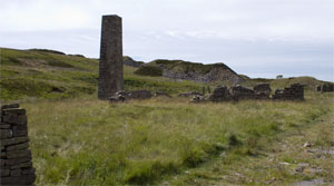
We followed a well-defined track to the restored chimney and continued along this (though it wasn't
marked on our map).
|
|
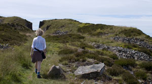
The track continued alongside the quarry buildings and spoil heaps, still climbing slightly...
|
|
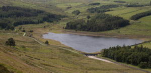
... and providing splendid views of the reservoirs in the valley below.
|
|
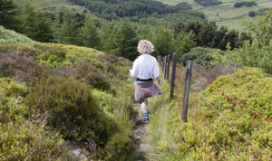
Cross stile in wire fence, and follow the narrow path alongside the fence steeply down the hill.
When you meet the Rossendale Way, take the left hand path, which leads into woodland.
|
|
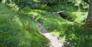
Continue to follow the path through the wood and over a footbridge. At junction of paths, turn right, heading towards the
reservoir.
|
|
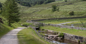
Turn left to follow the track alongside the reservoir feeder stream. Cross the stream and
then bear right up the hill.
|
|
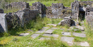
The path leads past ruined settlements at Lower Ormerods, Hartley House (pictured) and Rothwell
Fold. There are information boards giving details of these settlements.
Where the track divides, take either the left hand road, or the footpath on the right just inside the woods.
At the next junction turn left. Take the footpath on left through trees, then moorland, to emerge on Grane Road.
Turn left and walk along the road to return to the car park.
|
