|
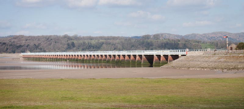
Walk along the Promenade towards the railway station.
|
|
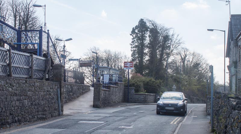
Continue walking along Station Road, passing the station on your left. About 1⁄3 mile beyond the station …
|
|
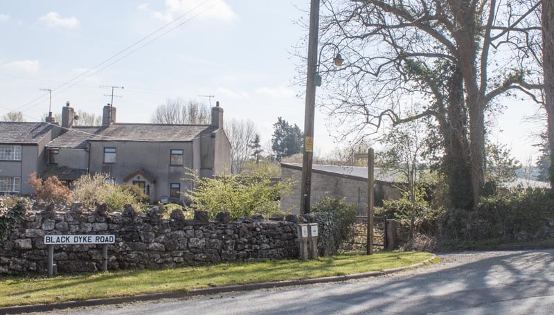
… take the footpath on the left, signposted Hazelslack 2⁄3 mile. The short track leads down to the railway.
Cross this …
|
|
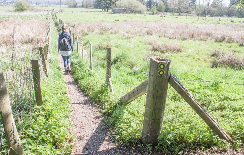
… and follow the narrow path ahead between wire and post fences. The path leads to a wooden footbridge
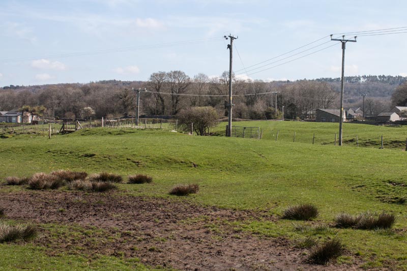
and through a gate …
|
|
… into the field pictured. Continue walking in the same direction. Leave the field through a wooden
kissing gate (just to the left of a wider gateway).
|
|
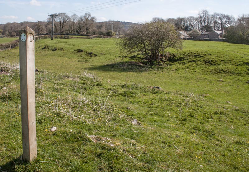
The waymark post in the next field has lost its direction indicators - but head to the far left corner
of the field. A gate opens onto a country road. Cross this and pass through the stone stile immediately opposite.
|
|
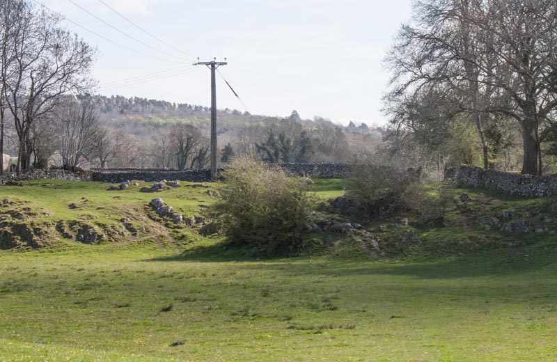
Bear slightly to the right crossing this field and the limestone outcrops to the gateway in the
far right corner.
|
|
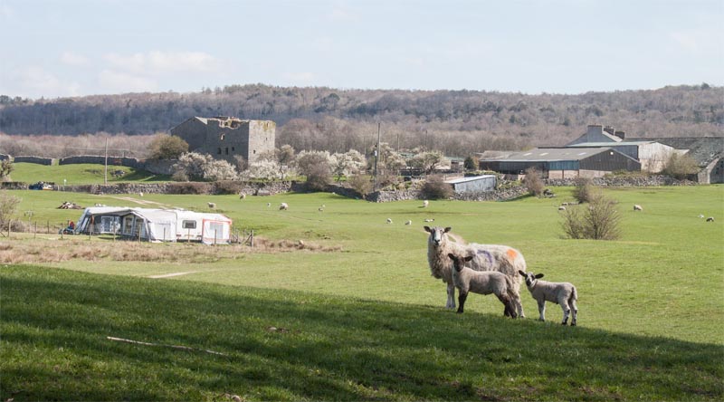
Bear left heading for a gateway almost in line with Hazelslack Tower. Climb the stone stile to the
right of the gateway and turn right to follow the narrow road past the Grade II listed pele tower.
|
|
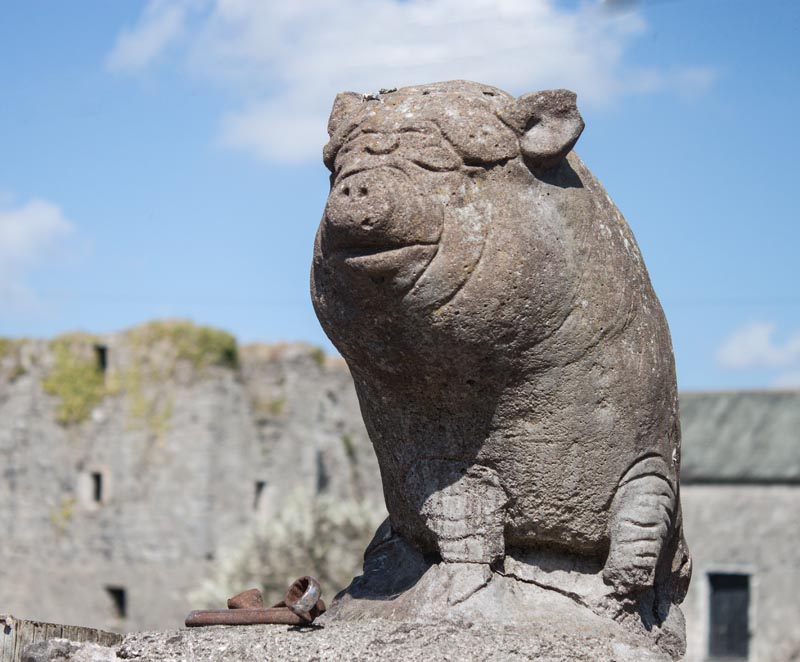
Immediately you pass the pele tower turn left into the farm drive which has unusual gateposts -
see photograph! Walk towards the farm buildings …
|
|
… keeping to the right.
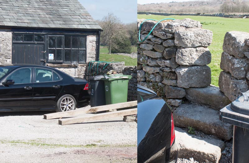
On the day we completed the walk it was difficult to see the stile. The pictures show that it was obscured by the bins and the rather smart black car. If I were a landowner with a footpath crossing my land - I'd do my best to make sure that it was as easy to find as possible - so that walkers only walked where they had a right to!
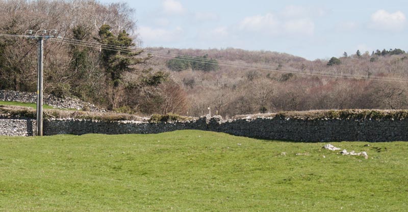
Once you've found it, climb the stile …
|
|
… and cross to the stile at the far right of the field. Cross the narrow road and enter the field
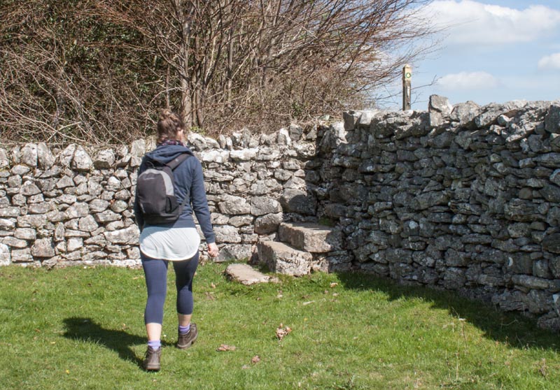
opposite by means of another stile (signed for Cockshot Lane). Cross the bottom of the field …
|
|
… to climb the steps to another stile. Once over this stile, keep to turn left and walk alongside the
left field boundary.
|
|
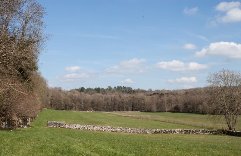
Pass through the gateway at the end of this field and then walk diagonally across the next field.
A narrow stile leads to …
|
|
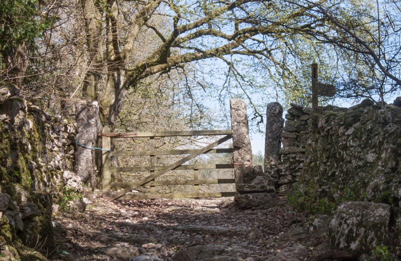
… a short, stony track. Walk up this to the gateway and stile pictured. Bear right across the field …
|
|
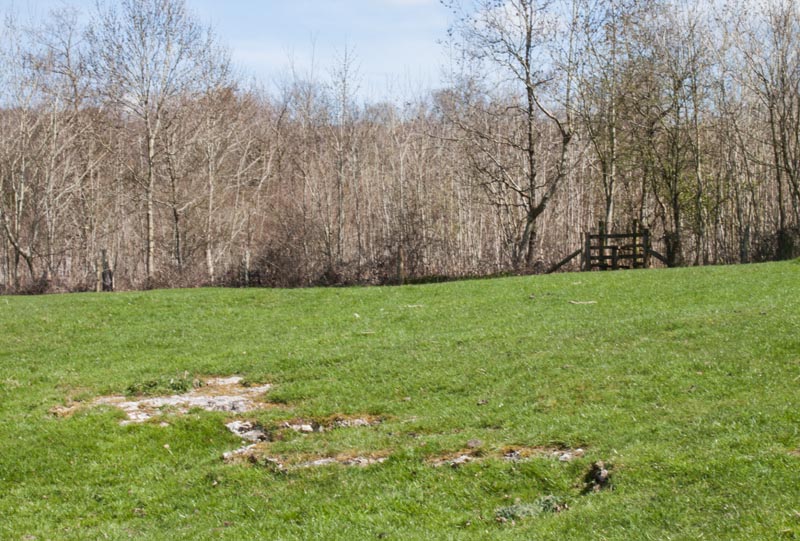
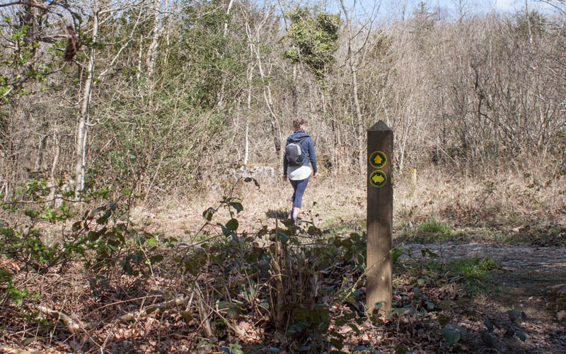
… heading to a wooden stile. Cross the stile and continue in the same direction through woodland.
|
|
The path is well waymarked - it crosses another path - with waymarker as pictured. Continuing ahead you
cross sections of limestone pavement before reaching a stone stile. Once through the stile turn right to
follow a minor road.
|
|
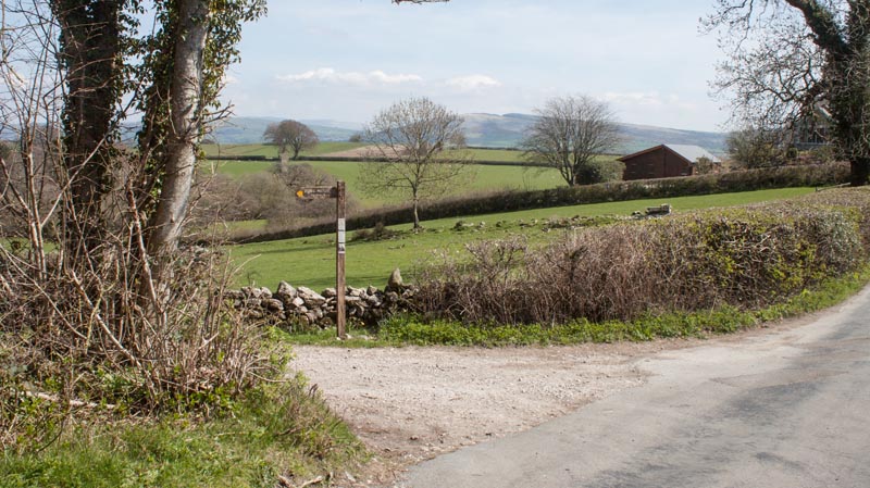
Follow the road for about 500 yards until you come to the junction with a track on your left (pictured).
Follow the finger post signed for Haverbrack. The track runs between stone walls and you pass a stone barn on
the left before …
|
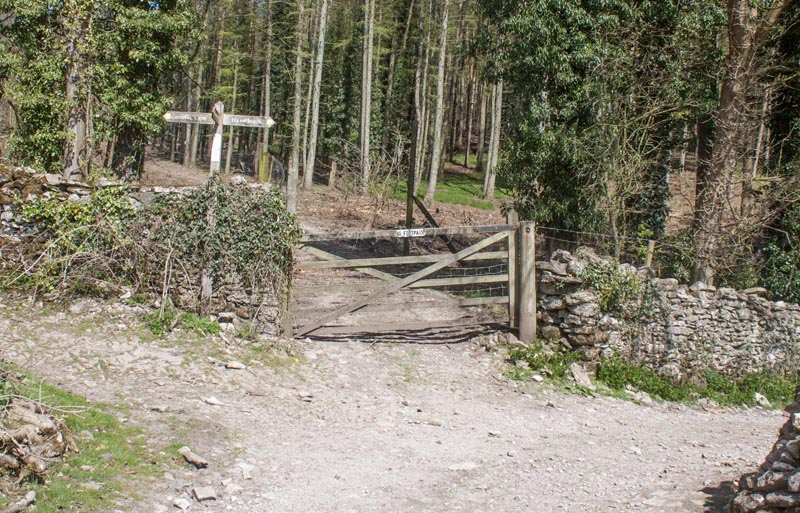
| … coming to a junction of paths. Turn right (again following the finger post for Haverbrack).
Admire the view towards the Yorkshire Dales on your right, before passing farm buildings at Haverbrack.
After the track winds round to the right …
|
|
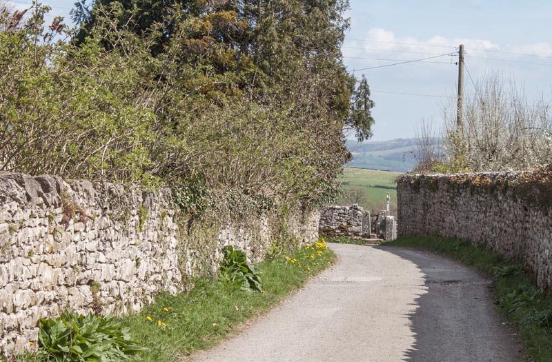
… look out for the stile shown in the photograph. Proceed through the stile to cross a narrow road and
climb the stile opposite to enter parkland.
|
|
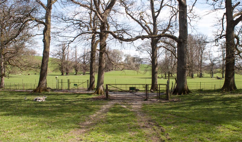
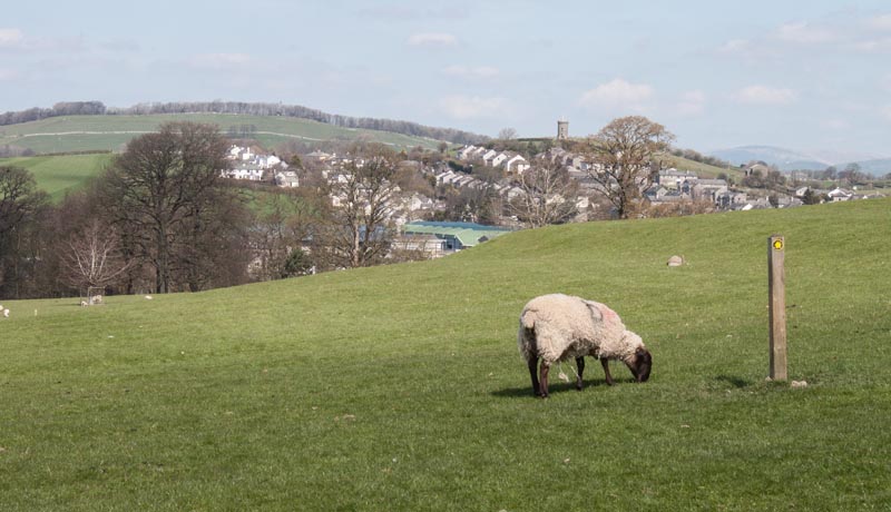
Continue walking ahead, down towards the metal gates pictured. Go through the first kissing gate and cross
the road to pass through the kissing gate in the deer fence.
|
|
The route through the deer park is clearly waymarked by a series of wooden posts. At a junction of routes,
bear left. As you come up to the shoulder of the hill you can see Milthorpe ahead.
|
|
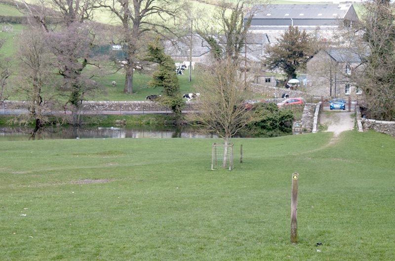
Walk down towards the bridge - If you don't wish to visit Milnthorpe, bear left before the bridge.
However we continued across the bridge and turned right to follow the road …
|
|
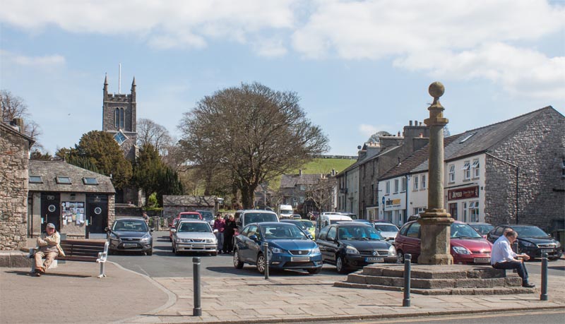
… and cross the A6 reach to the village centre. There are plenty of places to obtain refreshment before
retracing your steps back to the bridge across the River Bela.
|
|
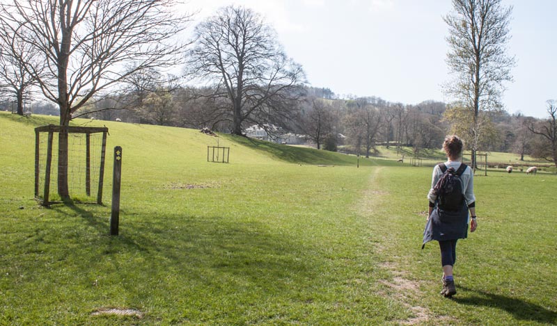
Once across the bridge follow the path on the right which runs fairly close to the river.
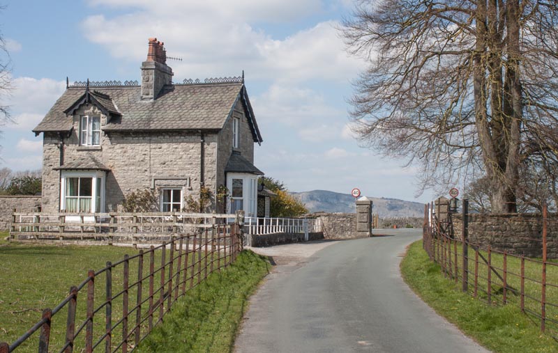
Where the path meets the road, close to the impressive Dallam Tower, turn right.
|
|
Continue along the driveway, through the gateway and cross the road.
|
|
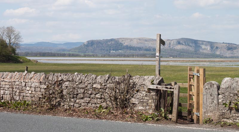
Go through the kissing gate and walk close to the river.
|
|
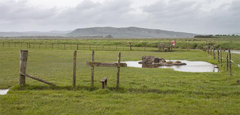
There was no need to climb the stiles shown in the photograph, it is possible to just walk round them as
the fences are in a state of disrepair. The river here is tidal - on the first occasion that we walked this
route (at a very high spring tide) the two stiles pictured along with the field close to the river and a
ditch were all flooded with seawater. (Even when flooded, if you are prepared to stray from the right of way,
it is possible to cut the corner walking round the flooded ditch and heading directly for the end of the
embankment.)
|
|
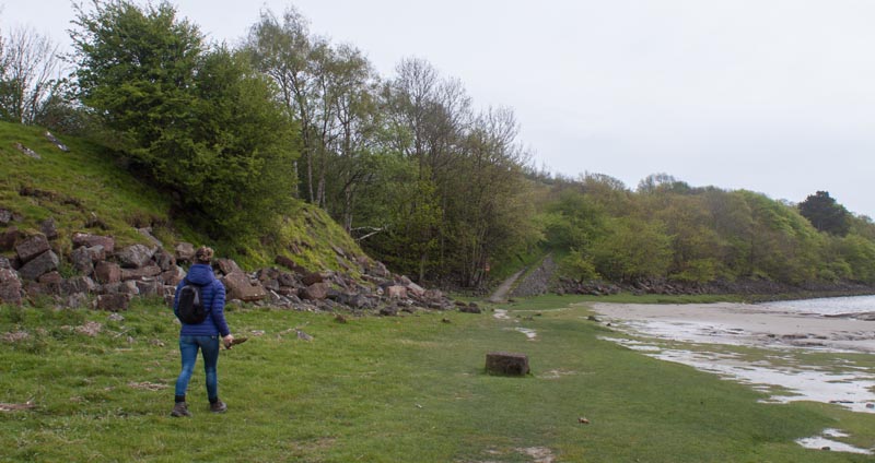
Assuming that the tide has allowed, continue along the river and follow the bank round to the left at it
meets the River Kent. The embankment of the former Arnside to Hincaster branch line will be on your left and
you will be able to see the path up to it ahead of you. Walk along the embankment until steps lead up to the
road.
|
|
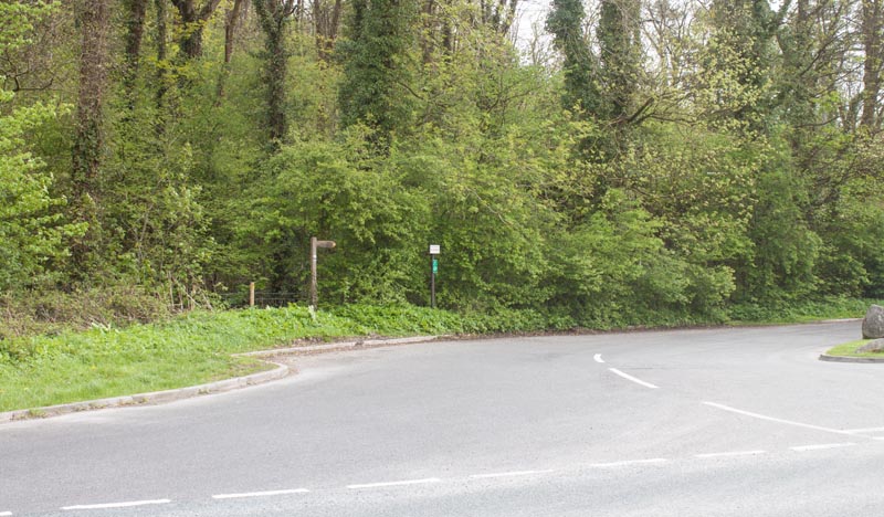
Cross the road and follow the side road opposite. This leads past the entrance to a quarry on the left
and flats on your right. This is part of the
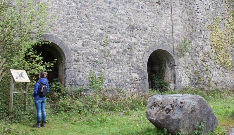
Storth Geotrail Guide - one of the highlights is …
|
|
… Sandside Limekiln on the left of the road. An information board explains how the kilns functioned.
|
|
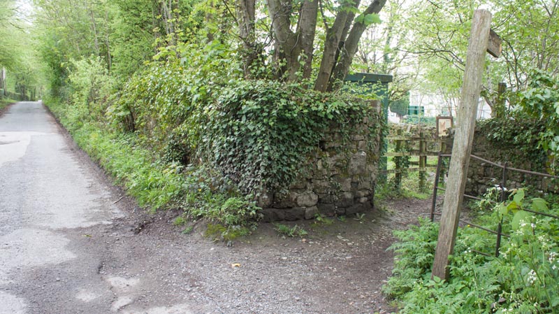
After passing the kiln, look out for the footpath on the right. After leaving the road turn immediately left …
|
|
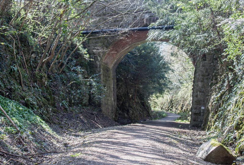
… to follow the line of the railway once again. This leads through a cutting and under a couple of bridges.
As you leave the cutting look out on your right for a wooden gate with a kissing gate alongside. Go through
the kissing gate, walk up to the road and turn right …
|
|
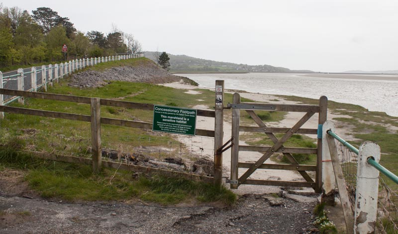
… then access the beach through the gate pictured (at spring tides this path may be impassable - but it is
possible to climb the metal roadside fence back up the hill and then down the stony embankment).
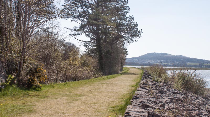
Follow the path round to rejoin …
|
|
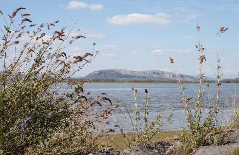
… the route of the dismantled railway track. This provides …
|
|
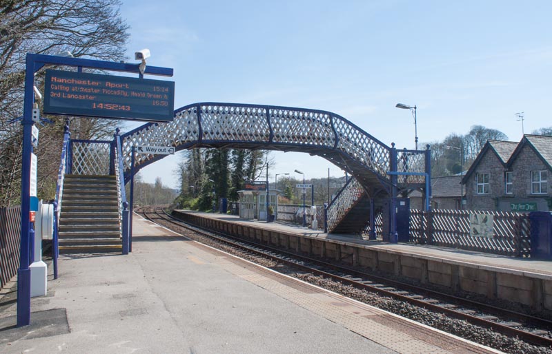
… magnificent views across the estuary. The track continues along the edge of the estuary until …
|
|
… you reach Arnside Station. Make your way onto the platform and across the footbridge. Leave the station and …
|
|
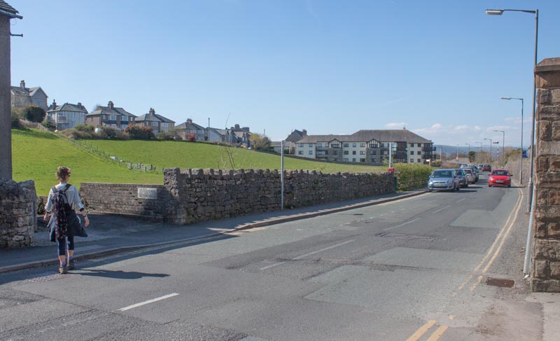
… turn right to follow the road back to Arnside.
|
All text and images ©Graham Dean, June, 2015.


