|
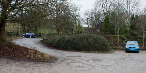
Leave the car park by the road entrance and turn left to walk along the B6247, Colne Road.
|
|
|
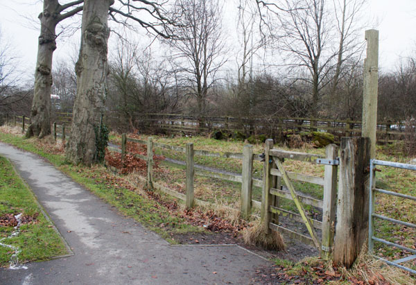
After about 500 yards look out for the gate pictured above. There should be a fingerpost indicating public footpath,
but all that remained was the post! Go through the gate and follow the path which runs between the road and the M65.
|
|
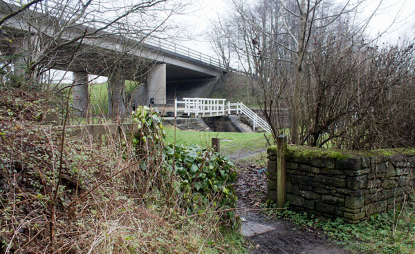
The path leads to another gate and then a footbridge over the canal. Cross the bridge and turn left along ...
|
|
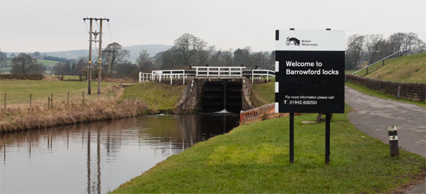
... the canal towpath. The signs still retain the logo of the now defunct British Waterways... I wonder how long it will
take for the marketing team to replace the signage with the logo of the Canal and River Trust.
|
|
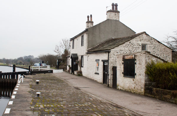
After walking past 4 sets of locks, you arrive at the former lock keeper's cottage by the 5th set. This is the highest
point on the canal. Continue along the towpath until ...
|
|
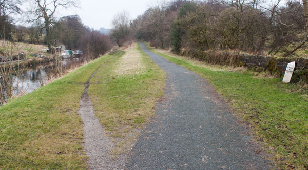
... the path divides. It doesn't matter which branch you take - they meet at ...
|
|
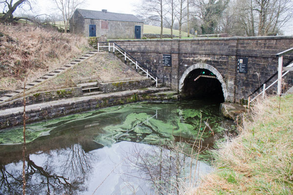
... the entrance to Foulridge Tunnel. The tunnel is too narrow for barges to pass, hence the traffic lights.
Follow the tarmac path up to ...
|
|
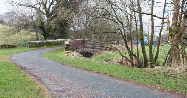
... this bridge over a stream. After a little more than 100 yards you come to a minor road. Turn right.
|
|
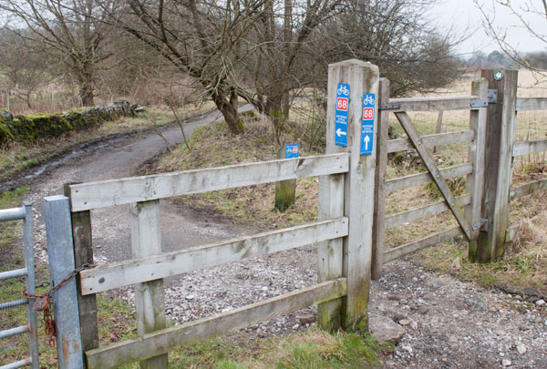
After a few yards leave the road and pass through this gate on your left. Follow the cycle trail until it emerges through...
|
|
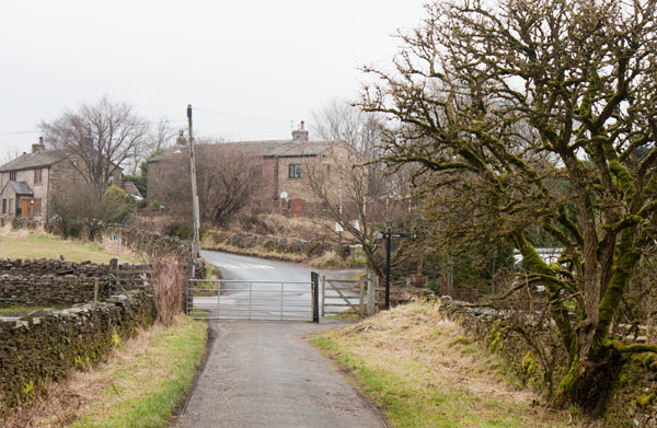
... the gate shown above. Walk straight across the road junction and then ...
|
|
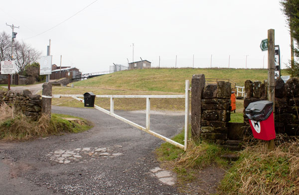
... turn right to join the path around Foulridge Lower Reservoir. We walked round the reservoir in an anti-clockwise direction.
|
|
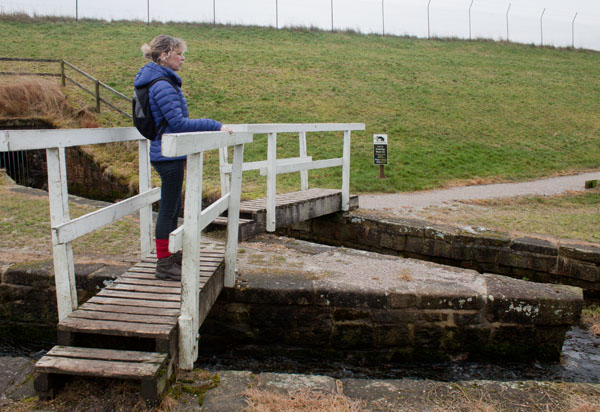
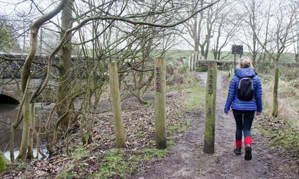
the path crosses a couple of footbridges before you actually reach the path along the embankment. The reservoir
stores water to feed the canal.
|
|
Continue walking along the path until you reach the A56. Turn left and walk along the pavement ...
|
|
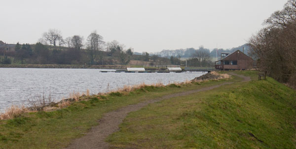
... until you come to a path on the left ... which continues the circuit of the reservoir.
|
|
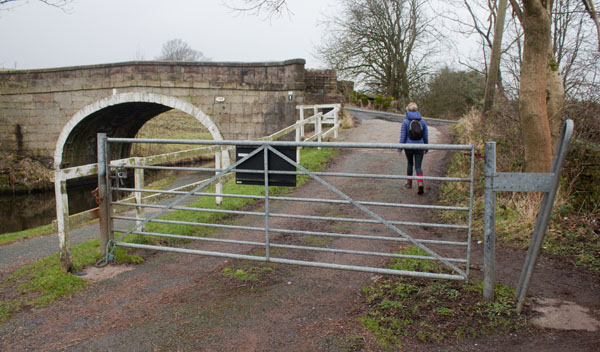
... which continues the circuit of the reservoir. Retrace your steps along the cycle track and towpath ...
|
|
... until you reach bridge number 144. Walk under the bridge, turn sharp left and then left again to walk along the Red Lane.
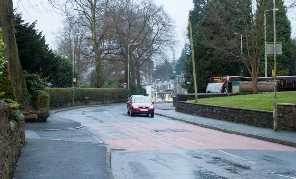
Where the lane meets Barnoldswick Road, turn left.
|
|
Turn left again at the next junction, now following the A682.
|
|
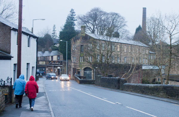
Higherford Mill can be seen ahead - this is a centre for artists and is being conserved by the Heritage Trust for the North West
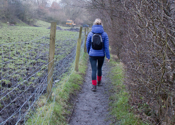
(it featured in BBC2's Restoration programme in 2006. Immediately before the road crosses the river in front of the mill, turn left ...
|
|
... to follow a narrow footpath back to the car park..
|


