|
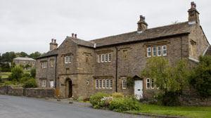
From the layby, cross the bridge, then take the road on the left to walk between the stream and a row of
cottages.
|
|
|
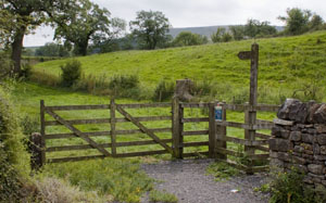
The road ends at a wooden gate, with a kissing gate alongside. Go through the kissing gate and follow
the path, which although not clear on the ground, was well signed. Where the path divides, take the right fork, through
another kissing gate. The path crosses a wooden footbridge before emerging on a farm track. Turn right along the track
and then right again where it meets the road.
|
|
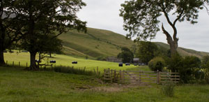
After walking for a few yards, turn left along the farm track towards Gerna. A footpath marker on the wall, points to
a stile.
|
|
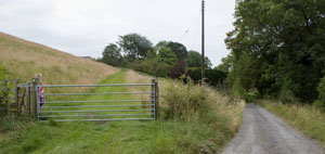
Continue along the field paths. In the last field before the farm buildings at Hookcliffe, continue to follow
the field boundary round to the left (don't go through the metal gate ahead). A kissing gate brings you to a junction
of paths - turn right.
|
|
Walk along this track for about 350 metres. The main track bears right, but we bear left passing
through yet another kissing gate.
|
|
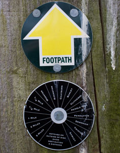
For most of this walk, the footpaths and bridleways are well marked. This is an example on the gatepost
at this junction shows that the path we are taking leads to Pendleton, which is 2½ miles away (we turn
off before then).
|
|
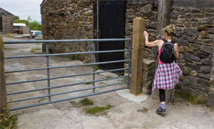
At Moorside the path leads over the stile pictured, and between farm buildings. Follow the track for
almost a quarter of a mile. Cross a cattle grid to emerge at the end of a road.
|
|
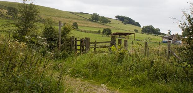
Turn, left, then almost immediately go through the kissing gate on the right. Follow the path towards Angram Green.
|
|
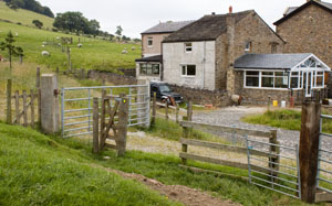
The path around the buildings at Angram Green is clearly marked. Once you are beyond the buildings
follow the field boundary to the next kissing gate.
|
|
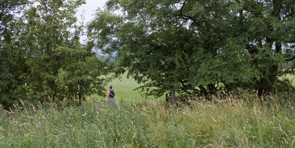
Once through the gate, turn right and pass through a gap in the hedge (there were the remains of a
gateway or stile). Turn left and again follow the field boundary.
|
|
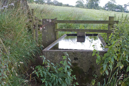
Leave this field by a narrow gate to the left of a water trough (as shown). Cross the next field, heading
towards the
left hand edge of a small wood. Go through the metal gate and follow the track towards Little Mearley Hall.
|
|
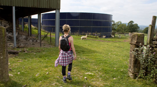
The public right of way between the buildings at Little Mearley Hall is not signposted (at least from the
this direction). Walk to the left of the first storage tank, go through a small metal gate and pass to the right of the
second storage tank.
|
|
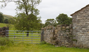
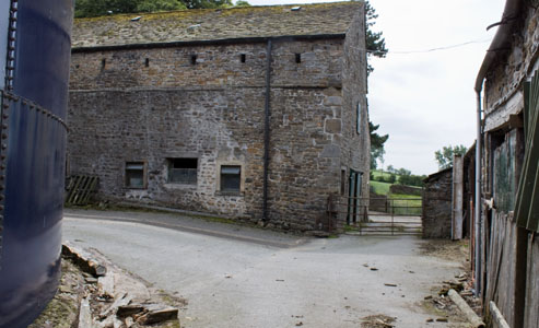
Cross the farmyard and leave through the gate pictured. Turn right and follow the farm road.
|
|
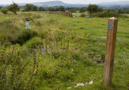
The track comes to what appears to be a T junction, although the map shows a bridleway leading straight ahead.
Turn left and walk a few yards, then turn right by a bridleway marker post. Again, there is no clear route across the field, but there are marker posts
showing the way. You will come to Mearley Brook on your left and a stone wall on your right - walk between these.
|
|
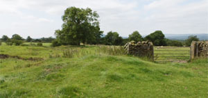
When you come to a dog-leg in the stone wall (pictured) pass through the
metal gate. Walk close to the field boundary with the post and wire fence on your left.
|
|
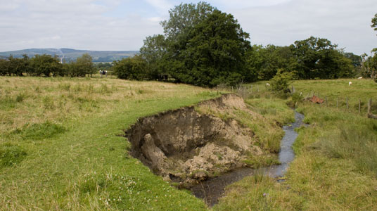
In the centre of the next field the bridleway which we're following crosses a footpath which
we need to turn onto. But as there were no signs of either on the ground, we turned right and followed
the stream pictured...
|
|
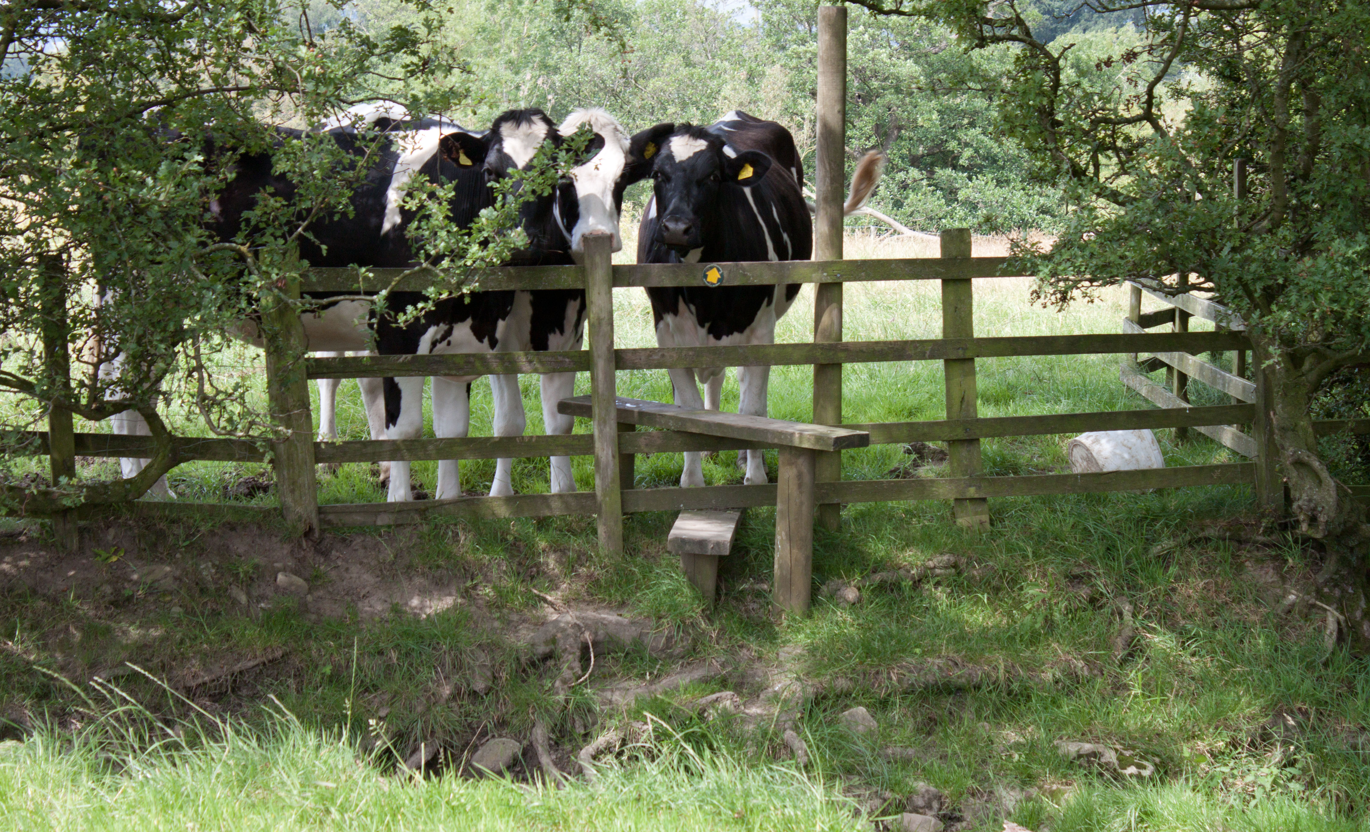
... to a stile in the northern corner of the field.
Cross a footbridge to leave the next field, then cross three more fields to
emerge on a narrow road. Turn right. At the junction with another road (by the side of
which there are sculptured sheep) turn right again.
|
|
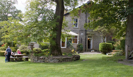
Walk along the road through Worston - we stopped for refreshment in the garden of the Calf's Head.
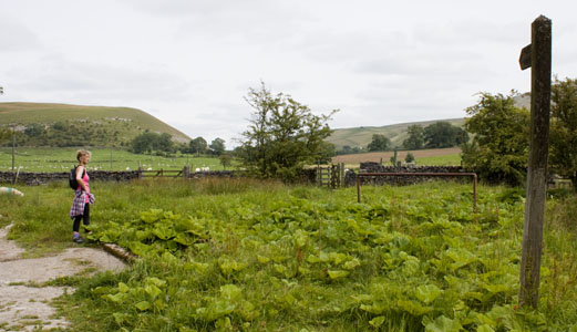
As you leave the village follow the second footpath sign on the left down a track.
|
|
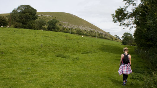
Look for the kissing gate to the right, and walk towards this, rather than continue along the track.
|
|
The footpath again leads through kissing gates, following the course of Worston Brook on your right.
|
|
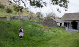
As you approach the first buildings at Worsaw End, bear left and go through the gate in the stone wall. Bear right
and follow the path as it skirts the foot of Worsaw Hill.
|
|
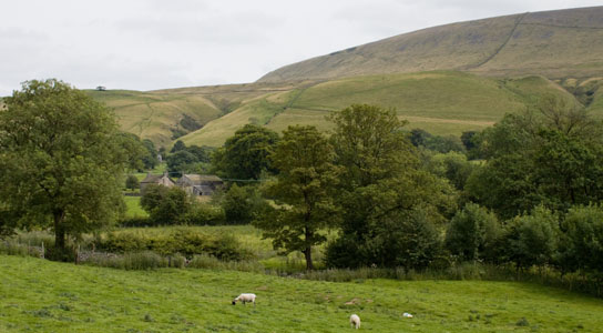
Admire the view of Pendle Hill on your right as you continue to follow the
path through fields and kissing gates to emerge between cottages in Downham.
|
