|
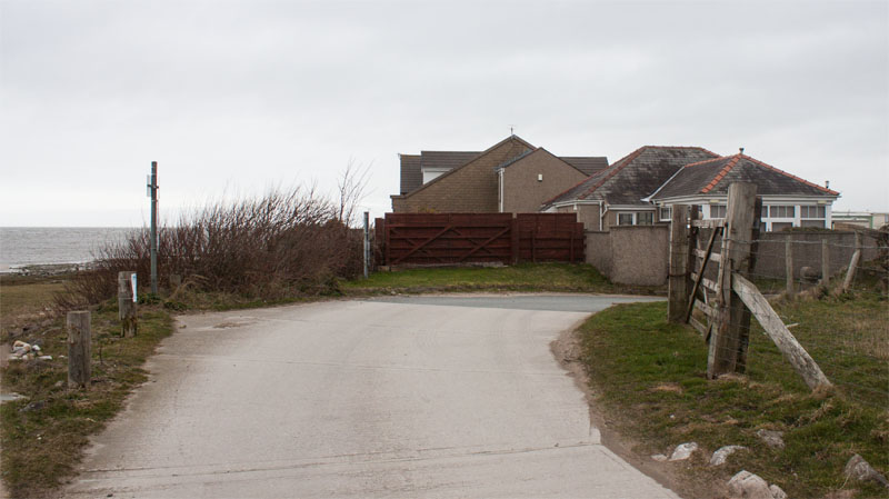
Leave the car park by walking back up the access road and turning away from the beach along Carr Lane.
|
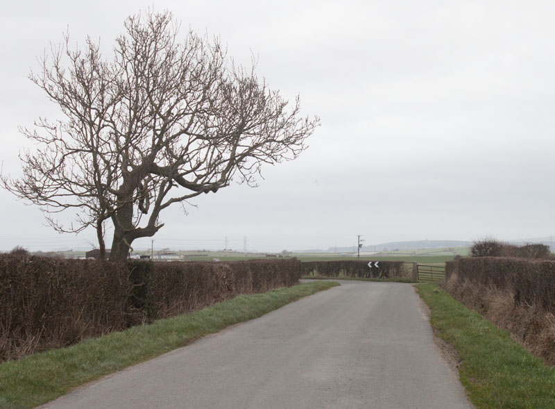
Follow the lane as it winds its way inland for about half a mile.
|
|
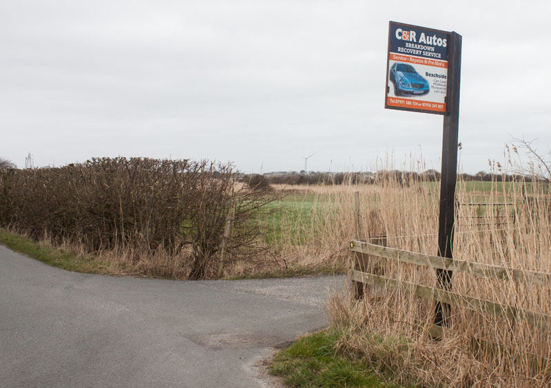
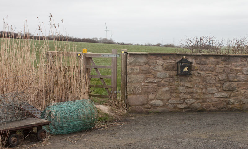
Look out for this driveway on the right - there are also small, circular footpath markers on fence posts at both side of the drive.
Follow the drive …
|
|
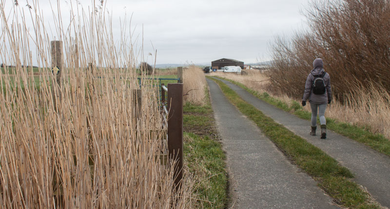
… towards the buildings .
|
|
Close to the buildings on the left of the drive go through this kissing gate …
|
|
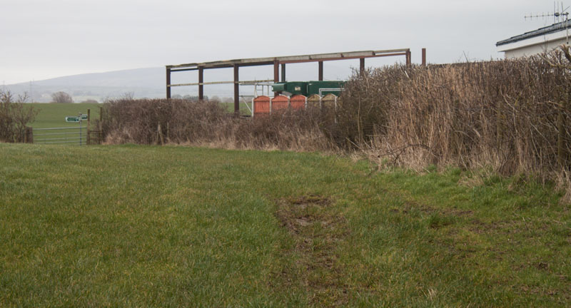
… and walk along the edge of the field towards the gateway and fingerposts visible ahead. Climb the stile next
to the gate and turn right, walking along the edge of the field …
|
|
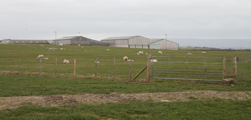
… until you come to this stile. Climb the stile and walk across the middle of the next field, heading
to the left of the farm buildings.
|
|
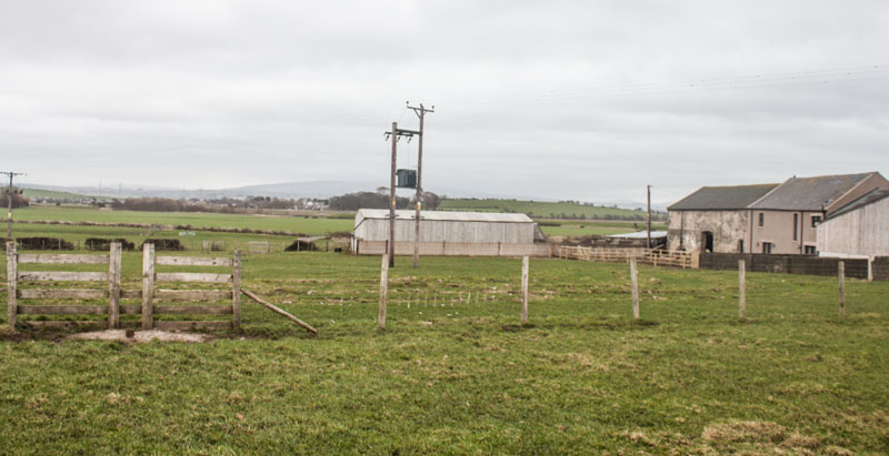
Once you reach the highest point of the field, you will be able to see the stile shown in the picture -
head towards it.
Although this walk is along the flat, coastal plain this part of the route provides views of the Bowland Fells
beyond Lancaster (though not very clear views on the day we photographed the walk).
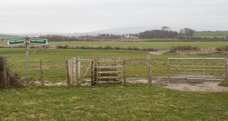
Climb over the stile …
|
|
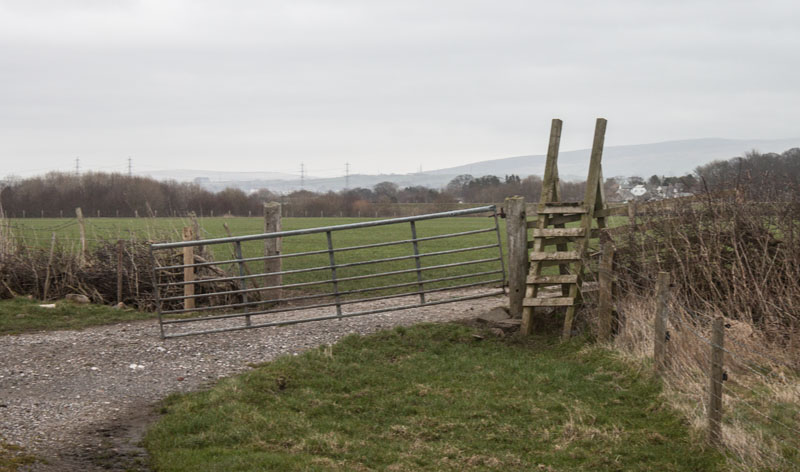
… and walk towards the kissing gate and finger post ahead. Go through the gate and turn right to follow
the farm track towards …
|
|
… this ladder stile. Climb the stile (or, as we did, walk through the gate, if it's open).
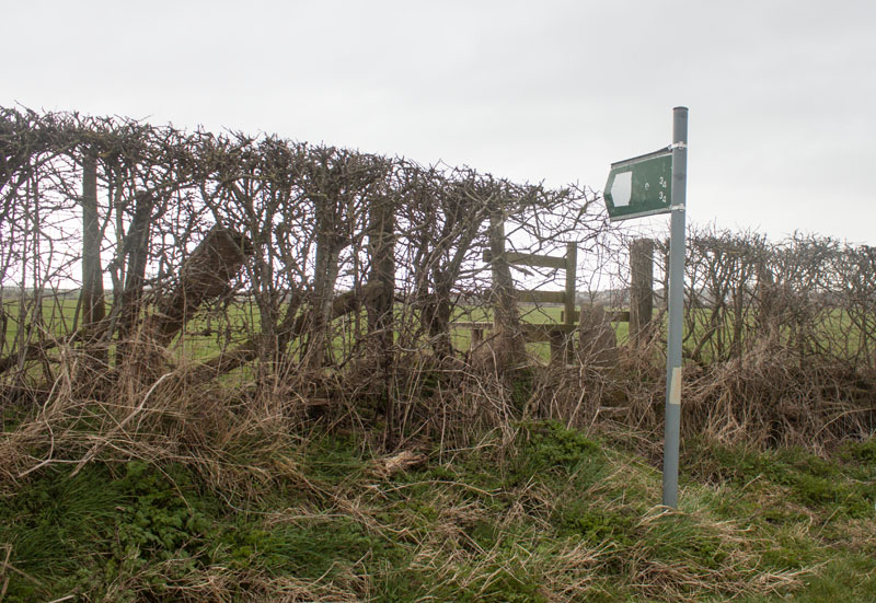
As there was no trace of a path across the field,we followed the track to a gate onto the road, went through the gate to join a narrow road, however there is a stile in the hedge …
|
|
… which we found from the road side!!
Whether you join the road by sticking to the official right of way and using the stile, or if you used the
gate that we used, this is the first opportunity to shorten the walk.
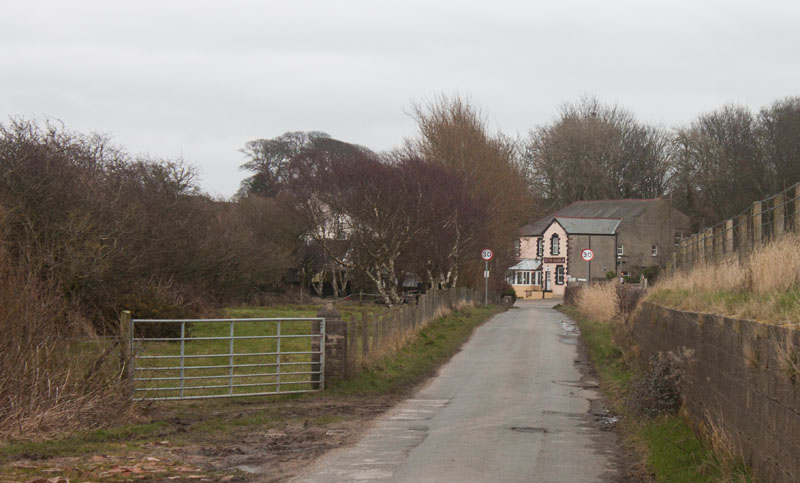
Turn left to follow the road to Overton (and more importantly the pub) - or if you wish to shorten the walk, turn right to pick up the
directions again here.
|
|
Walk along the road, with the flood defences on your right, for a little under half a mile.
|
|
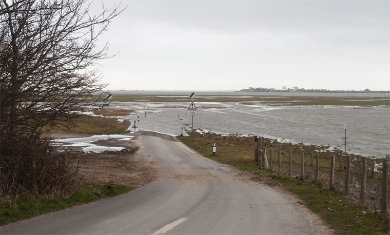
Before we visited the Globe, we turned right to look down on the causeway route to Sunderland Point
(we'd never been in the area at high tide before).
There is also an opportunity to extend the walk by taking the path on the left (just before the tide line.
This lead round Bazil Point and returns to Overton via Chapel Lane.
|
|
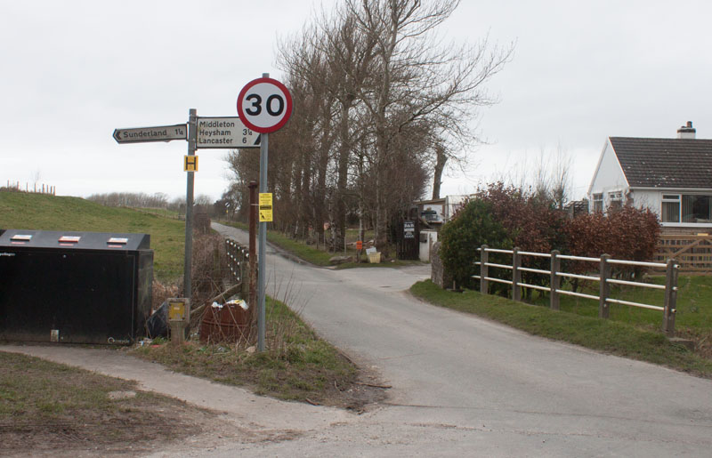
From the Globe, retrace your steps along the minor road.
|
|
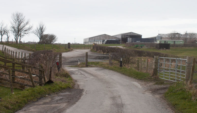
Pass the stile that should have been our access to this road earlier, then the gate that we actually used (on the right of the photograph).
Continue along the road as it bears slightly left.
|
|
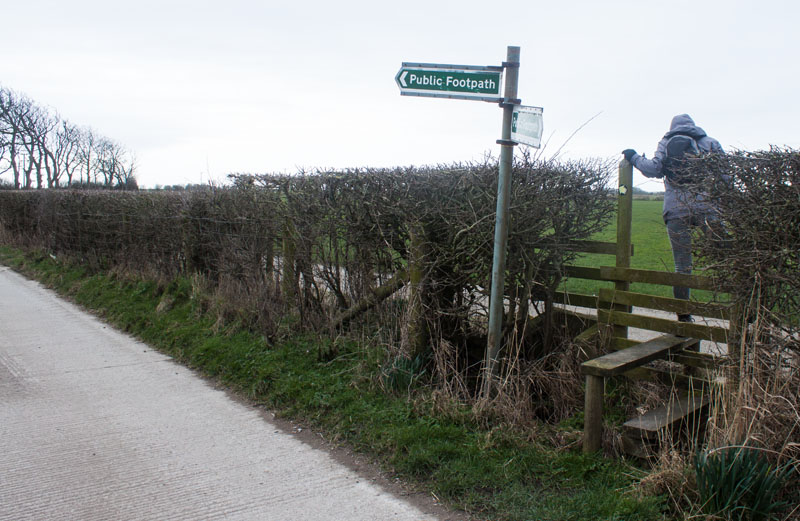
Continue along the road, passing a footpath sign towards Low Road, before coming to the sign and stile
pictured (the fingerpost signs must have been blown around by the wind: the directions indicated weren't
accurate).
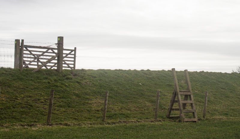
Cross the stile and follow the path on the left ...
|
|
… then continue along the edge of the field to the ladder stile pictured. Climb the stile and the banking
beyond and turn right …
|
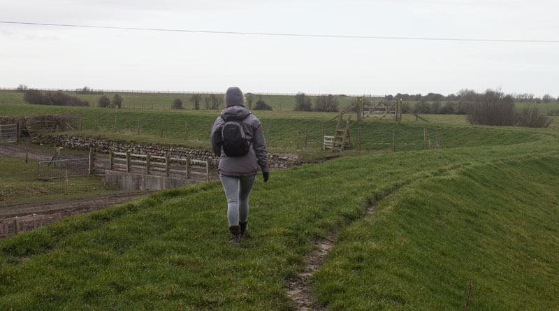
| … to walk along the flood defence towards the next ladder stile.
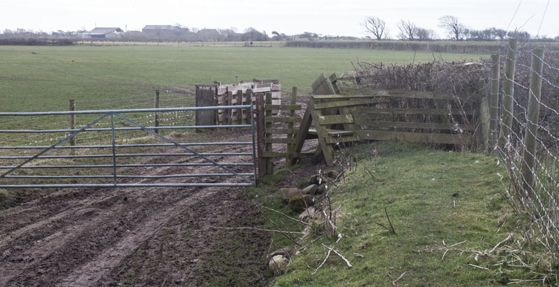
Drop down from the flood barrier to climb the stile and turn right …
|
|
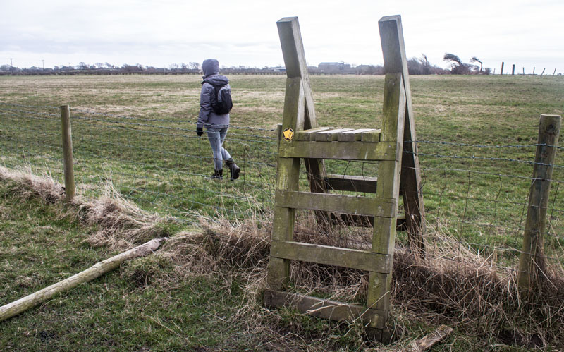
… following the short path above a muddy track. Climb a further ladder stile and head straight across the
middle of the field …
|
|
… to yet another ladder stile.
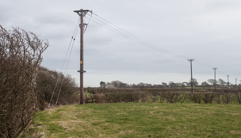
Follow the field boundary on your left, firstly along the post and wire fence pictured
and then round to the right along the hedge and drainage ditch.
|
|
At the corner of the field there is a footbridge which leads you into the next field.
Walk along the edge of the field, cross a farm track and then a second footbridge.
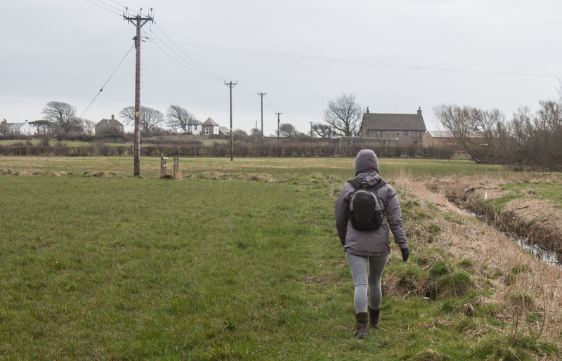
Follow the line of the ditch in the next field, crossing the ditch by a third footbridge.
|
|
With the ditch now on your right, walk towards the fourth and final bridge. After crossing this,
bear left towards the far corner of the field …
|
|
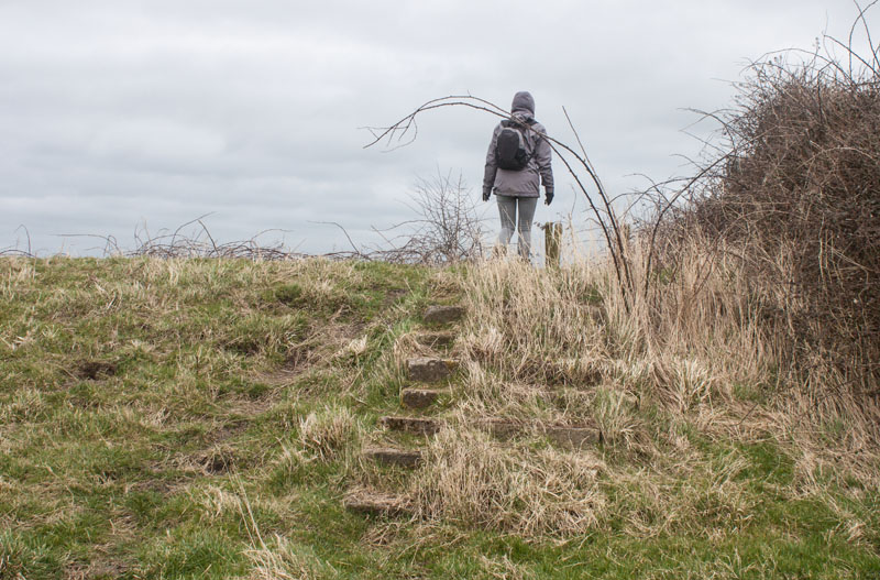
… where steps lead up the flood defence. Walk down the other side to a stile …
|
|
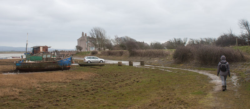
… which leads to a track along the edge of the beach. Follow the track to the right, passing
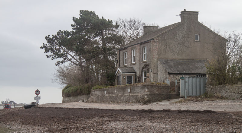
the public toilets and small car parking area towards the first ...
|
|
... of the houses at Sunderland (note - although usually referred to as Sunderland Point, the hamlet is
really named Sunderland - with the Point about a third of a mile beyond the end of Second Terrace).
|
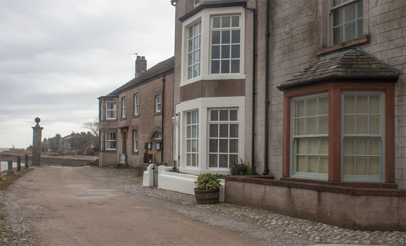
|
The photograph shows First Terrace, these buildings were at one time the customs house, a smithy and a shop.
At the end of the row of buildings a track on the right (The Lane) provides a short cut across the headland
(an alternative route if the tide is exceptionally high. Click here if you follow The Lane)
- but it does miss out my favourite part of the walk.
Cross the end of The Lane and continue past Second Terrace.
|
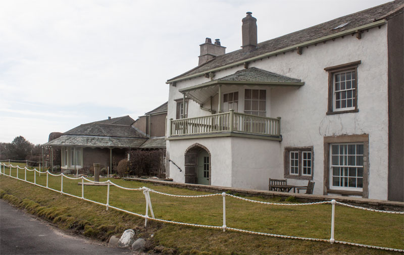
|
Follow the path round to Sunderland Hall, with its unusual West Indian style balcony.
Just beyond these buildings …
|
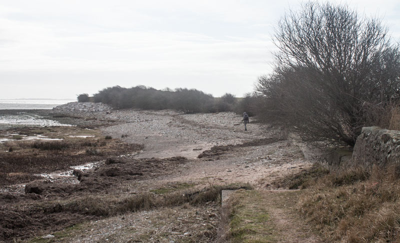
|
… the path comes to an end. Continue along the beach (unless there is a high spring tide -
in which case either wait, or return to The Lane).
|
|
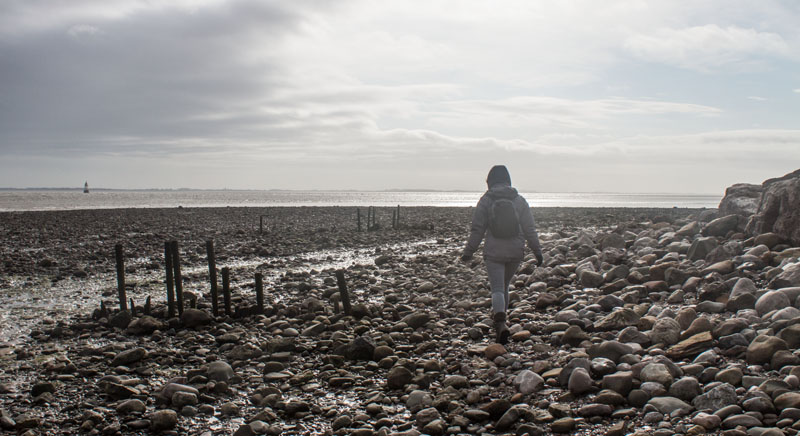
At first the view ahead is across the estuary to Plover Scar Lighthouse, with the Fylde coast beyond.
As you round the point there is just the wild beach and the Irish Sea. Then further round the nuclear
power stations at Heysham.
|
|
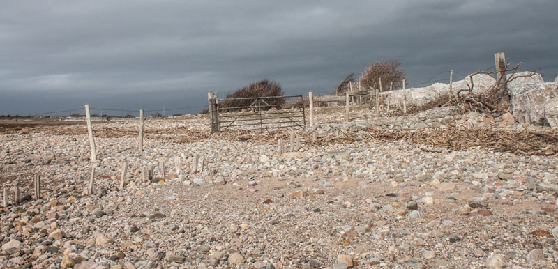
Go through the gate pictured and carry on along the pebble-strewn beach …
|
|
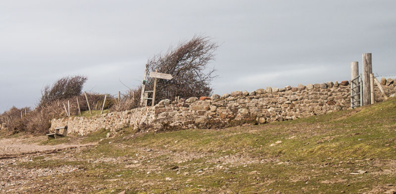
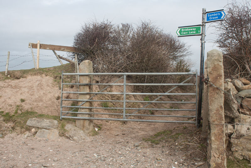
… until you reach the small enclosed area with a sign inscribed, Sambo's Grave.
|
|
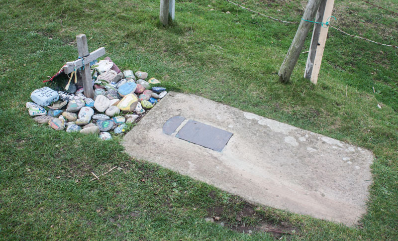
If you climb the stile you'll see the memorial to the servant of a ship's captain, who died in Upsteps Cottage
(1 The Lane), and was buried here around 1736. There has been much speculation about his death - and 60 years
after he was buried here Rev James Watson wrote an elegy which is engraved on the brass plate attached to the
grave.
|
|
Continuing along the beach you pass the western end of The Lane (if you have used this as a short cut,
turn right as you meet the beach).
Carry on walking north …
|
|
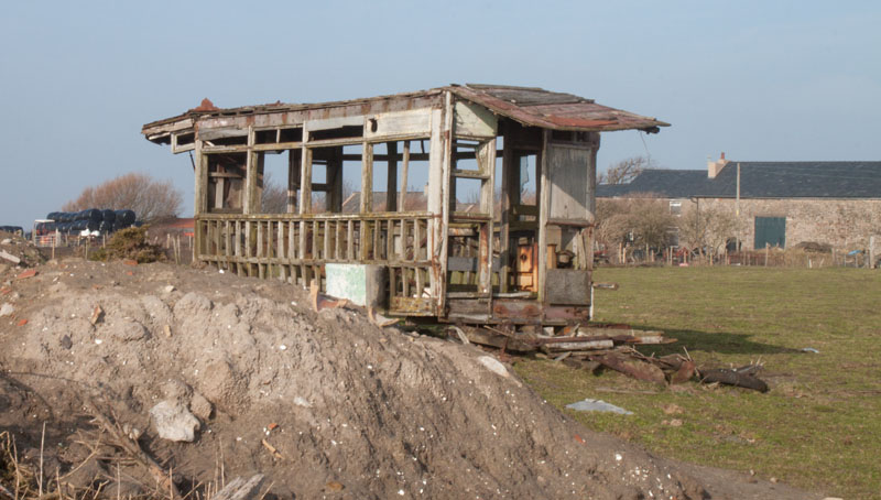
… and look out for the skeleton of an old tramcar in a field on the right.
|
|
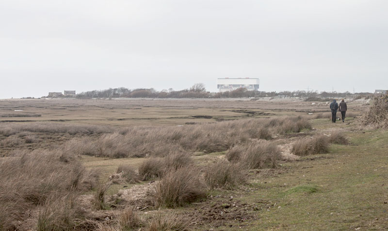
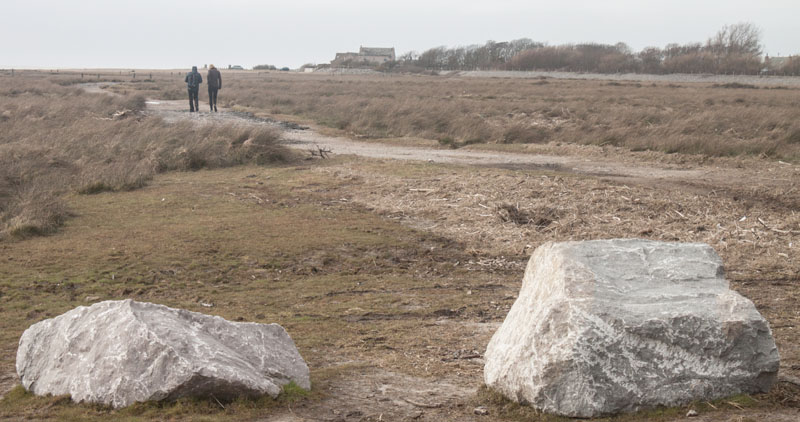
Follow the edge of the grassy beach around …
|
|
… to join a track. Bear left along the track to return to the car park.
|
All text and images ©Graham Dean, March, 2015.


