Map: Sheet OL24 Peak District - White Peak area
Start: Car Park (large lay by) off A5004 - SK008799
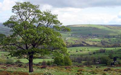
Crossing moorland at the west of the Peak District, then returning by the River Goyt
Leave the car park following the steep track down on the left. Cross the River Goyt using the footbridge (you could use the ford, if you don't mind paddling). The track takes you up the hill opposite, between two sections of the graveyard, with the church on the right. Turn right, then climb a stone stile on the right, next to a metal gate.
Continue up the hill, through 3 fields. The path levels out, and dips slightly down in the fourth field, before meeting a road. Turn left along the road, then after about 200 metres, follow the path on the right. This climbs up to a dip in the ridge of Taxal Edge. A ladder stile, not only takes you into the next field, but from Derbyshire into Cheshire, and leads down to a road.
Turn right along the road, then almost immediately left down a farm track. Turn right in front of the farm buildings, and pass through a metal gate. Beyond the gate walk diagonally across the field. Follow the path, not always clear on the ground, through gates and over stiles, to emerge on a track. Turn left, then left again. This brings you out on the B5470 next to the Bull's Head (where we stopped for refreshment).
On leaving the pub, turn left, then left again by the school. Follow the footpath sign on the left, in front of buildings (which were being renovated when we passed). Some of the stiles on this stretch of the walk are not that obvious - but they are there! The path emerges on a road. Turn right, then almost immediately follow the footpath sign on the left. Walk uphill, then turn left on to a track which passes farm buildings. Pass through a gate, and walk towards woodland. Do not enter the woods, but follow the path down to meet a road. Follow the track opposite, down to Overton Hall.
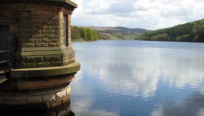
About 200 metres past Overton Hall, follow the sharp right hand path. After crossing a stream, the path turns to the left. At a junction of paths turn right, to walk parralel to the River Goyt. At the reservoir, turn left to cross the dam. Turn left again at the far side, through the car park, then down to the left. Pass water treatment buildings, and follow the path along the river, back to Taxal.
Back to:
Walks Index
Graham Dean's Home Page