Buckden - Hubberholme - Cray - Buckden (approx. 4.5 miles)
Map: Sheet 30 Yorkshire Dales - Northern and Central
areas
Start: Public car park, Buckden (SD942773)
This fairly short walk in upper Wharfedale provides splendid views down the valley,
without climbing too high.
Buckden - Hubberholm (approx. 1.25 miles)
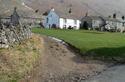
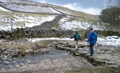
Leave the car park, heading down towards the river. Follow the road across the bridge. 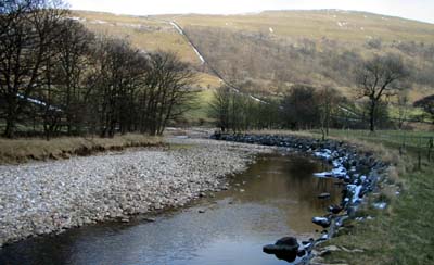 Go over a stile in the stone wall, following a Dales Way sign. The path follows the river for just over half a mile, before re-joining the road. Go through the gate and turn right on to the road until you arrive at Buckden. The George Inn on your left offers refreshment (but we didn't feel we'd walked far enough to earn it).
Hubberholm - Cray (approx. 2 miles)
Turn right to cross the river, then follow signs by the church for Scar House.
The farm track parts company with the Dales Way. Continue to follow the track, climbing up the hillside to Scar House.
The public footpath passes the left of the farmhouse, then turns to the right,
between house and barn. You then climb up to the limestone outcrop on the left, and take the path leading east along top of Hubberholme Wood. 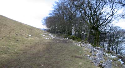
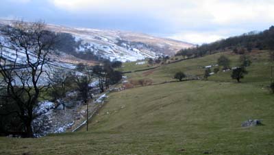
The path follows the contours, then crosses a wooden footbridge which takes you across Crook Gill. The path continues through several wooden gates and then descends gently to pass to pass behind farm buildings, before joining the road at the White Lion, Cray. We did sample the refreshments here!
Cray - Buckden (approx 1.25 miles)
Cross Cray Gill via the steppoing stones opposite the pub and go through the gate ahead.
Climb up until you join Buckden Rake, a bridlepath which follows the contours. Turn right along this, and continue ahead, passing through several gates, until the track drops down to the car park at Buckden.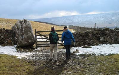
Back to:
Walks Index
Graham Dean's Home Page