|
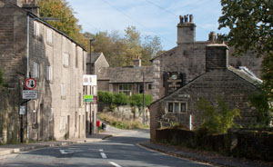
Leave the B6214 by walking up Moor Road (directly opposite the Shoulder of Mutton.
|
|
|
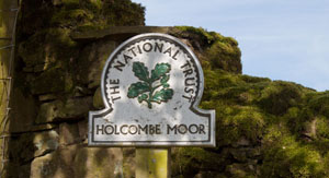
Continue along the main track to enter National Trust owned land - and carry on ahead.
|
|
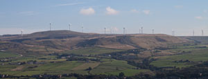
To the right there are splendid views across the valley to
Scout Moor Wind Farm.
|
|
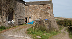
I don't know if the animals pictured here are a permanent feature of Chatterton Close - but
they provided some interest on our left, in contrast to the views to the east pictured above.
|
|
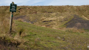
Shortly after passing the buildings at Chatterton Close there is a wood on the right. At the end of this there
is a junction of paths. Turn left, following the bridleway sign towards Beetle Hill.
|
|
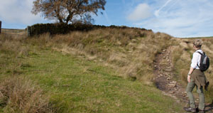
This paths leads more steeply up towards a gate in a wall. Don't go through the gate, but
continue along the clearer track which leads to the right of the wall. The map shows the path leading to
a crossroads, but on the ground we followed a clear path which forked left to
the top corner of the fields on the left. At the junction of paths turn left.
|
|
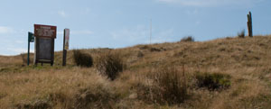
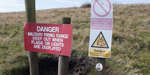
Follow this path, which leads past the warning signs shown in the pictures...
|
|
The map shows the path running alongside the range, rather than entering it - but I wouldn't like to follow this route
when live firing is taking place! During the month we completed the walk (September), the range was
only being used in the evening on a small number of evenings.
|
|
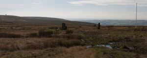
The clear path leads to the stone in the centre of this picture. For more information abort this, follow
this link.
|
|
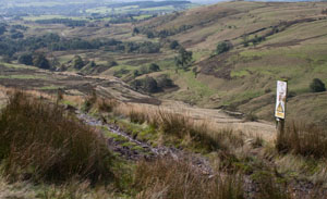
Beyond the stone the path leads down the side of the valley pictured, providing impressive view
to the west.
|
|
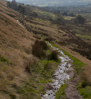
At a junction of paths, we intended bearing left to climb again. Although a
path is marked on the map, we saw no sign of it on the ground, so continued along the level track
leading south.
|
|
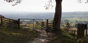
When we saw this gate ahead, we realised that we had followed the track for too long...
|
|
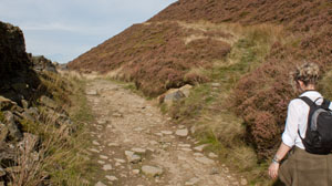
... so turned round to see a path winding up the side of the hill (not marked on our map).
We followed this....
|
|
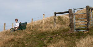
... up to this bench (which provided a welcome breather). Then we passed through the gate.
As we climbed higher, the path became less distinct...
|
|
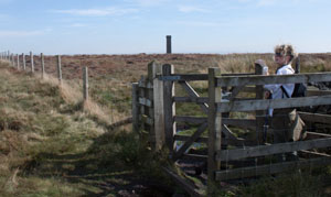
... but did lead us to this kissing gate, which we passed through. The post and wire
boundaries didn't match up with the map, and the path almost ceased to exist. But we could see the top of the monument,
so navigation was no problem. Trying to avoid sinking in wet muddy patches or tripping over heather were greater issues!
|
|
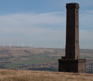
I left the direct route to take this photograph - the small figure is heading directly from the kissing
gate to the tower. We arrived at the back to the tower, walked round it and turned right, heading
south along a clear track.
|
|
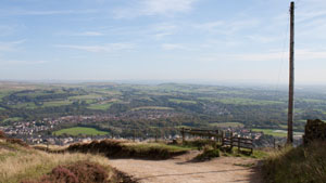
The track bends round to the left, and zig-zags down the hill. Turn left onto Moorbottom Road.
At the junction with Holcombe Old Road and Cross lane, turn left to head back to the pub. If you have parked on the
car park and wish to return directly to it, turn right. The map show a concessionary path on the left leading to the car park.
We went to the pub!
|


