Three days (one full day and two half days, to be more precise) strolling (and catching the odd bus) in the Peak National Park, starting and finsihing at Buxton railway station with overnight stays in Ashbourne and Hartington
Map: Sheet OL24 Peak District - White Peak area
You may also wish to use Sheet 259: Derby, Uttoxeter, Ashbourne & Cheadle - though only for one small corner!
Information to help plan this walk was obtained from the book Weekend Walks in the Peak District by John and Anne Nuttall and this page from John Butler's website.
Bus service numbers were correct at the time of writing - but are obviously subject to change. Check details using the Derbyshire Journey Planner.
Start: from outside Buxton Station catch the bus to Ashbourne (service 442).
Where you leave the bus depends upon your stamina; stops at Alsop, Newton Grange, Tissington and Thorpe are all conveniently close to the Tissington Trail. Of course, if you have no stamina, you could stay on all the way to Ashbourne. We alighted at Tissington, which provided the shortest option (about 4.5 miles) which was still worth walking!
The bus journey provided an interesting preview of villages to be visited in the next days. It would be difficult to design a route which was more convoluted - full marks to the designers of the route for passing through as many villages and hamlets as possible between Buxton and Ashington. Despite this, for most of our journey we were the sole occupants of the bus.
To recover from the journey, and because it was raining when we arrived at Tissington, we headed straight for the coffee shop!
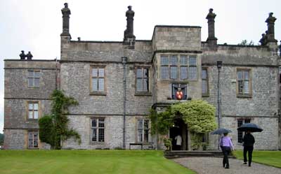
This isn't the coffee shop! It's Tissington Hall - open to the public.
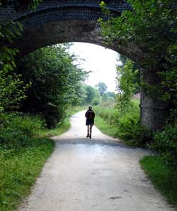
Following the road (and the signs) down from the hall, take the road to the left to arrive at the Tissington Trail. Follow this in the Ashbourne direction. Route finding couldn't be much easier than on this disused railway track, now a path for horses, cycles and walkers.
At the southern end, the trail has recently been extended - at least more recently than our O.S. map had been revised. There is now a final tunnel section, from which you emerge close to the bus station (convenient to check the times of the next days bus - if you don't wish to walk the whole distance to Hartington).
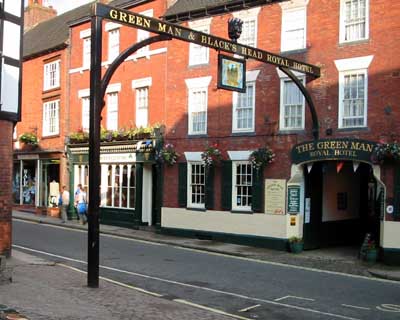
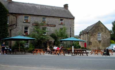
We spent the night at this inn - which is supposed to have the longest name of any English pub! As you can see, the rain didn't last, and we arrived at Asbourne in the sunshine.
There are a number of options to travel from Ashbourne to the southern end of Dovedale:
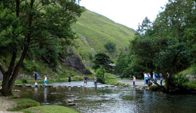
We walked through the car park adjacent to the conveniences, and followed the field path round Thorpe Cloud, through Lindale.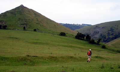 This valley joins Dovedale close to the stepping stones. We turned right and followed the river.
Although we followed the same river, different sections of the valley are given different names.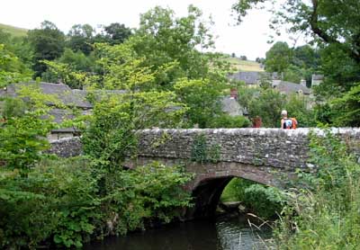 At Milldale we crossed the river over Viator's Bridge, sampling some refreshments from the take-away. The route follows the road north, then recrosses the river.
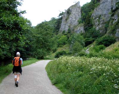
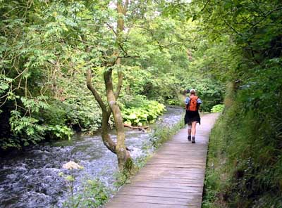
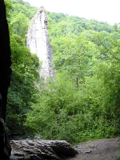
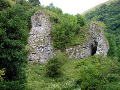
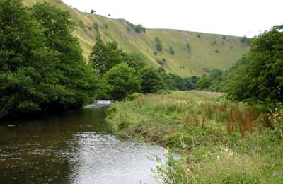
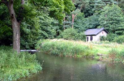
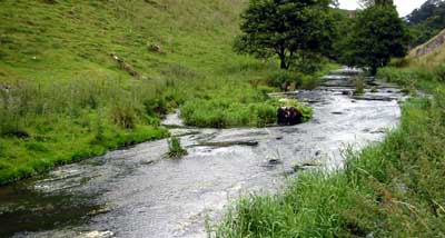
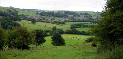
Wolfscote Dale and Beresford Dale simply follows the river - so rather than waste words, enjoy the photographs!
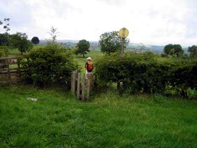
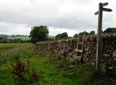
At the northern end of Beresford Dale the path continues north over a stile, whereas the river bears to the north west. The path continues across fields, emerging on the road at Hartington.
We didn't explore any alternatives to this walk to Longnor, which is about 5 miles. Route finding on this final stage of the walk proved more problematic than on the previous 2 days!
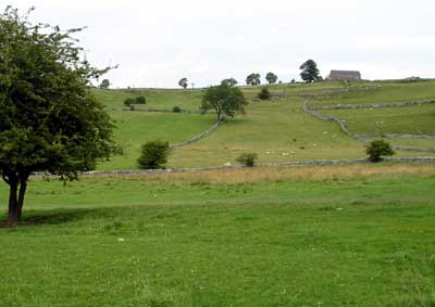
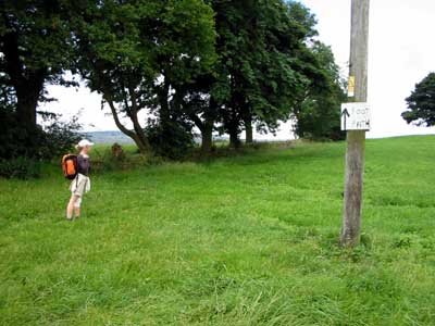
We left Hartington down the road leading to the dairy (marked on the O.S. map as a factory - which a modern dairy is). Immediately before the dairy there is a footpath on the right. This leads downhill, across fields, then up a steeper valley side. The photograph shows the view back to Hartington from part way up this hillside. Carry on across a path, and emerge on to a road between farm buildings at Lower House, Sheen.
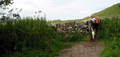
At the road it doesn't matter which way you turn, as their are footpaths in either direction, which join before reaching the road at Brund. We turned left, then almost immediately right. It was during this section, not being able to see a path on the ground, that we followed the field boundary - if we had only looked up we would have seen a stile straight in front of us! In fact this section was quite well waymarked.
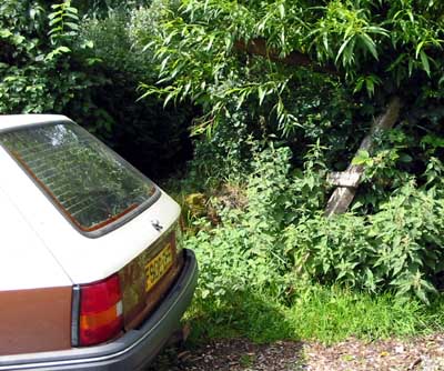
Turn right at the road, then on a path to the left. This path brings you out onto another road - the path needed is directly ahead. However, when we emerged on this road we couldn't see it! There so turned left, before re-tracing our steps, to find that the entrance to the path was hidden by a parked car, and the finger post was damaged.
The path meets the River Manifold, and then continues more or less due north for two miles - river flows from the same direction, but meanders away from the path. There are at least 3 small footbridges (though only one is marked on the map) and countless stiles. Where other paths are met, they are clearly signposted, or the correct route is fairly obvious.
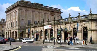
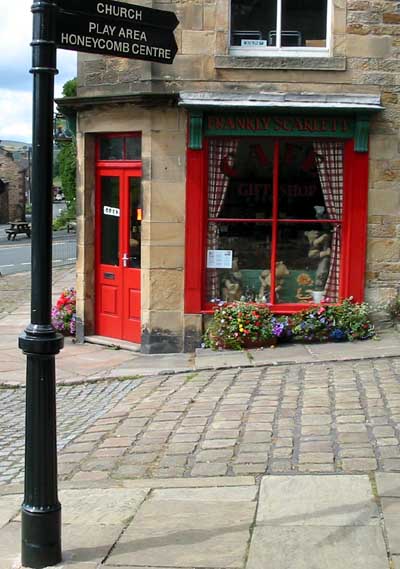
As the path approaches Longnor, it turns north west, then north, uphill to farm buildings. As there was no path signed through the farmyard, we followed a newly surfaced drive up to the road, then turned left. We followed the road to the market place (passing the place where we should have joined the road - it looks as though we should have walked through the farm yard). We had a had a pleasant lunch of Staffordshire oatcakes in the cafe pictured below, whilst waiting for the bus back to Buxton.
Back to:
Walks Index
Graham Dean's Home Page