|
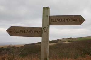
Take the footpath immediately opposite the public conveniences then turn left onto a wider track. The path is well-signposted,
leading gradually down to the clifftops. There are former industrial sites (Alum works)to explore, but because of our late start, short
hours of daylight and the bitterly cold wind, we didn't investigate them on this occasion. The path joins a narrow road at the foot of Stoup
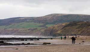
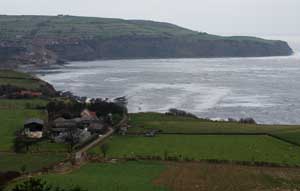
Brow. The road ends at the farm and the path leads down to steps and a footbridge. If the tide is out, it is possible to walk from here
along the beach to Robin Hood's Bay (we did this on the return).
|
|
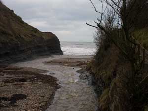
After crossing the footbridge climb steps back up to the clifftop path. Steps lead down to cross another stream at Boggle hole,
before climbing yet more steps back up to the clifftops. The next set of steps lead down to Robin Hood's Bay.
|
|
The tide was quite low, and still going out, so we returned to Stoupe Bank Sands along the beach. Negotiating the stream at Boggle Hole
wasn't an easy task, but we did manage it without getting our feet wet!
|
|
At Stoupe Beck Sands we crossed the stream by means of the footbridge, climbed the steps to reach the road. Instead of retracing our steps,
we continued up the steep, single track road to a sharp bend. A track on the left of the road took us to the disused railway track. We
turned left to follow this back in the direction of Ravenscar. At the time we walked it, there was a temporary diversion close to Ravenscar,
due to a landslip. This alternative route was clearly signed, and brought us back onto the Cleveland Way, which we followed back to
our starting point.
|