|
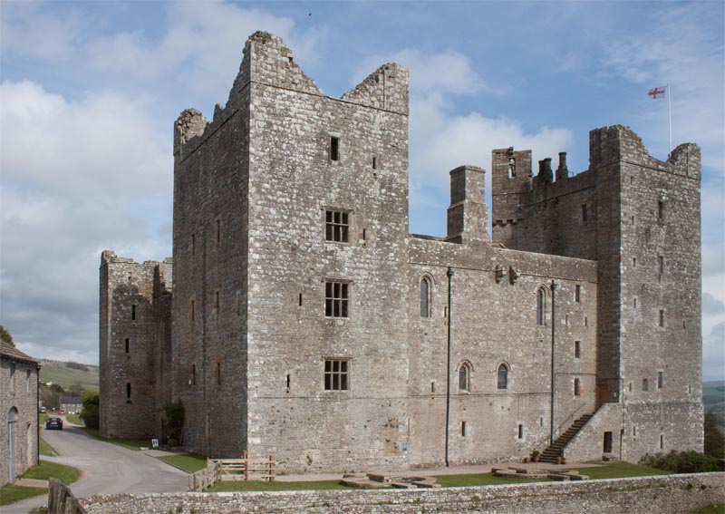
Turn left as you leave the car park to walk past the entrance to the castle (well worth a visit) and
continue walking along the village street.
|
|
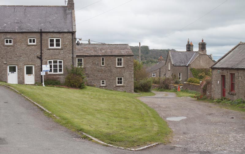
At the far end of the village green bear right away from the road to follow the track pictured.
After only a few metres turn right following a fingerpost: Public footpath to Redmire.
|
|
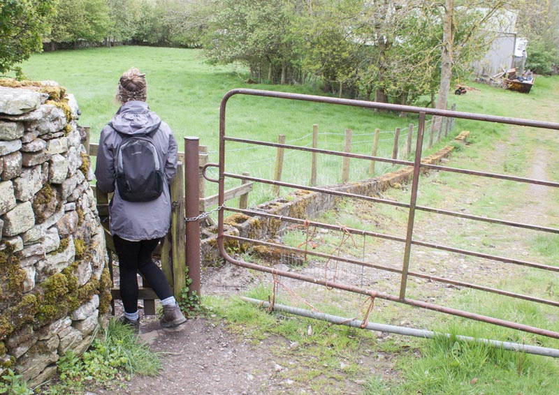
When you reach a metal gate across the track enter the field on the left by way of a kissing gate.
Walk downhill through the field. Enter the next field through a narrow Squeeze stile to the left of a
metal gate (the gate was open when we completed this walk, so we didn't need to squeeze through the stile).
|
|
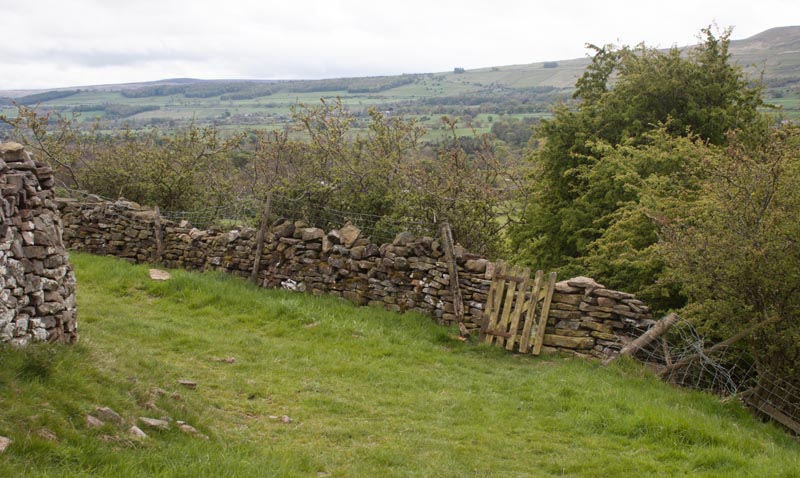
Where the grassy track bears left, go through the gated stile in the wall ahead. Follow the path to a
gate in a wooden fence which leads to steps down to the trackbed of the former railway. More steps lead
out of the cutting and over a wooden stile. In the next field ...
|
|
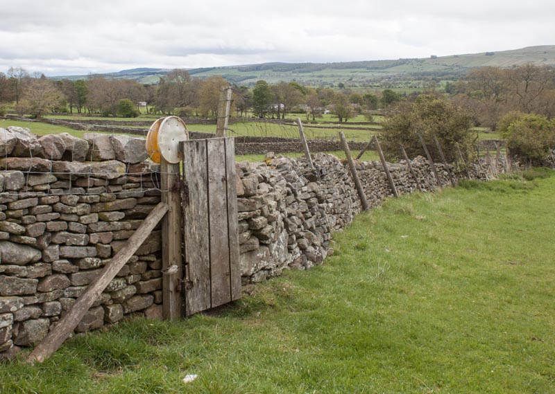
look out for the gated stile (pictured) in the wall on your left. Go through the gate and walk to
the far right of the field. Go through another gated stile and proceed along the left hand edge of the field.
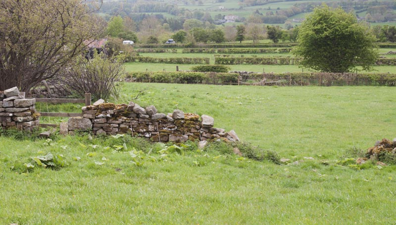
The next stile that you cross had the remains of a gate and hinges - and then there is another gated stile
|
|
before you reach the stile and broken wall. Cross into the final field before a gateway takes
you onto the road.
|
|
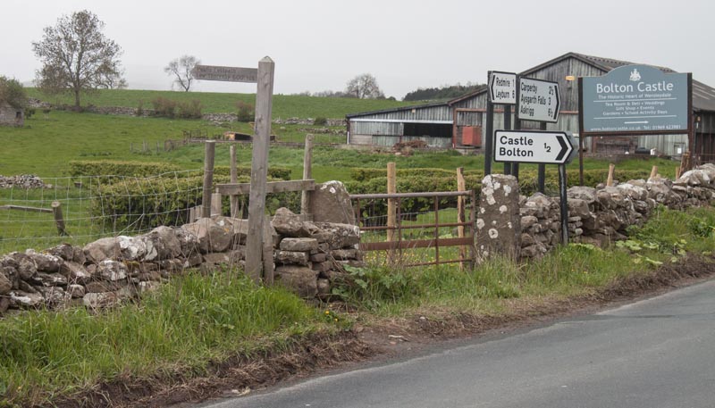
Turn right and walk along the road until you see the signs pictured. Follow the finger post signed
Low Thoresby 600 yds. Keep close to the wall on the left as you make your way towards the next gated stile and
then
|
|
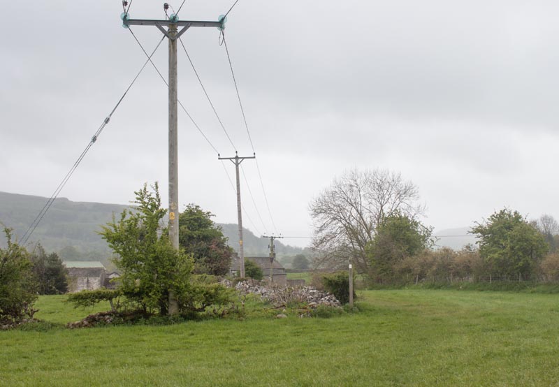
head towards the waymark post to the right of the overhead cables. Follow the stone wall on the left
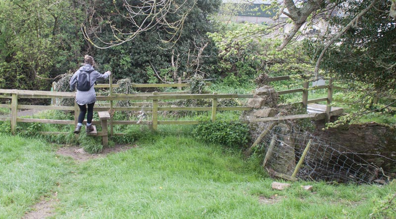
until you reach a footpath sign by the remains of a stile in the wall. Cross this and
|
|
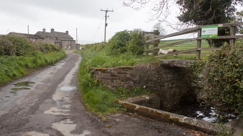
Walk down towards the stile in a wooden fence.
|
|
Once over the stile turn right along the lane towards the buildings at Low Thoreby. Once passed the
building continue along the narrow lane (signposted for Carperby Low Lane and Aysgarth Falls).
|
|
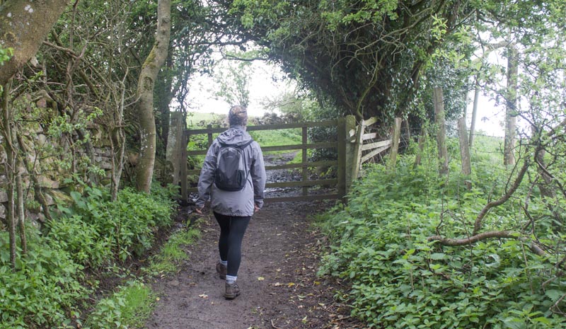
The lane continues for some way before you go through the gateway pictured, then cross a stile by
the side of a metal gate. After this you pass an area with newly planted trees, then squeeze through
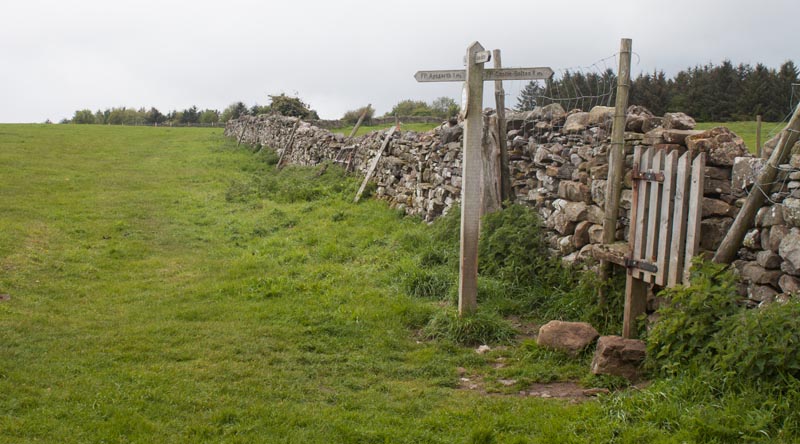
a stile at the right of a metal gate, before arriving at
|
|
a junction of routes. Follow the pointer bearing left signed Aysgarth 1 ML.
The route crosses the middle of a field - if the route isn't clear on the ground,
head just to the right of a group of trees until you can see narrow wooden gate leading to the next field.
A sign by the gate indicates that you need to bear left for Aysgarth Falls.
Walk alongside a wire and post fence towards another wooden gate. Once through this gate bear left
along a farm track towards Hollins House.
|
|
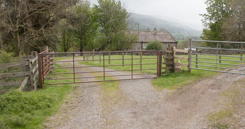
Where the track divides, with each fork being gated,
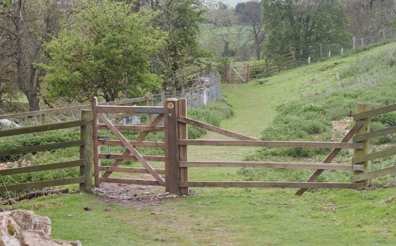
follow the circular waymark taking the track on the left. This leads through a wooden gate, followed by
|
|
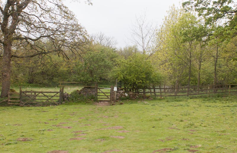
a series of narrow wooded gates. After passing through the last of these gates, head south west
across an open field towards
|
|
another wooden gate. Follow the path until you see concrete steps leading down to the left.
Take these down to
view the Lower Force.
|
|
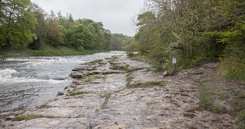
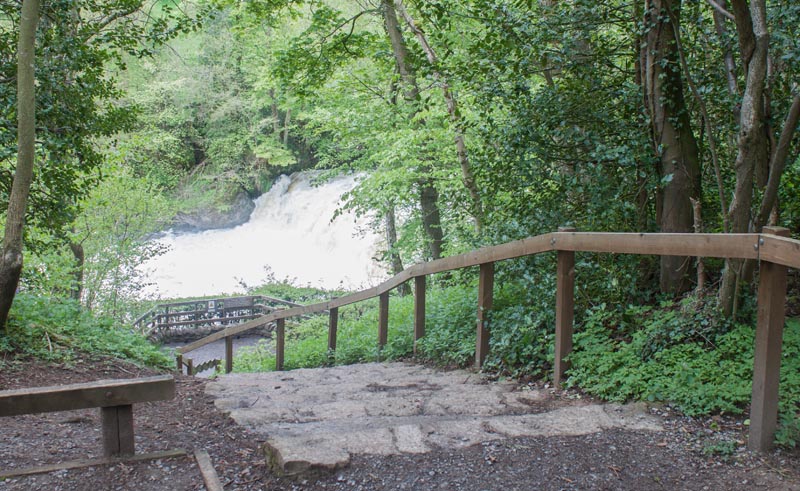
Walk upstream along the rock outcrop to the path leading away from the river shown on the right
of the photograph. Walk uphill and follow the clear path, looking out for decorated benches and fences.
Continue until you see
|
|
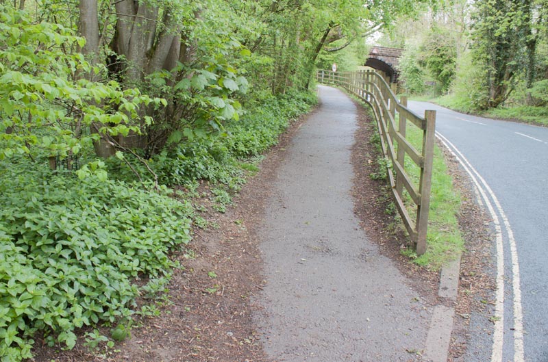
steps down to Middle Force. After viewing the fall return and follow the path through woodland.
|
|
Leave the woods and cross the road then take the footpath to the car park by the National Park Centre.
Walk to the far end of the car park and follow the path down to the river.
|
|
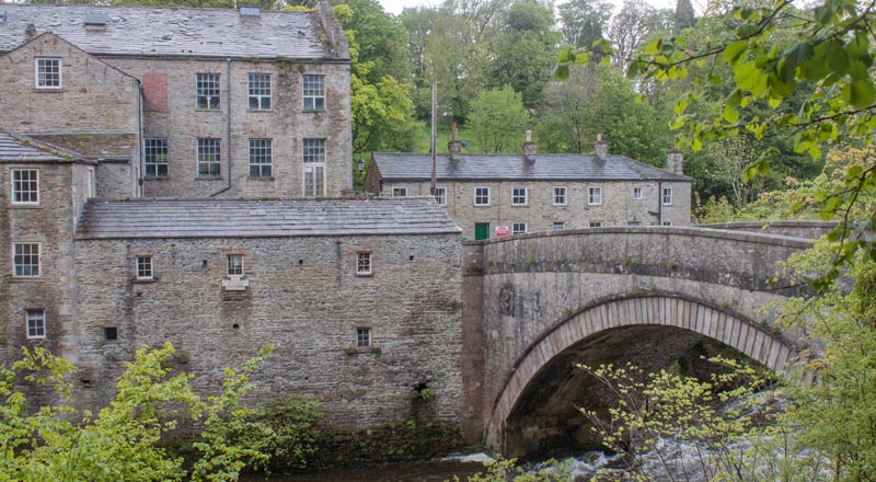
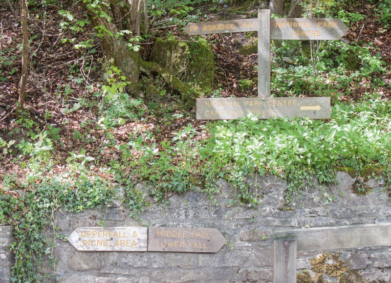
Continue down to the bridge.
|
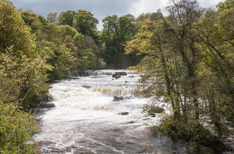
| In my opinion the best viewpoint for the most impressive of the falls is from the bridge
(though you can get a closer view if you pay to enter the private land alongside the falls).
We carried on across the bridge to visit the craft centre - there is also a tea room.
|
|
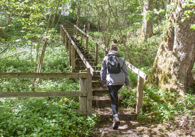
Return to the northern bank of the river and up towards the National Park Centre,
but before reaching the car park ... bear left up steps towards Carperby. You leave the woodland
via a metal kissing gate
|
|
... bear left up steps towards Carperby. You leave the woodland
via a metal kissing gate
|
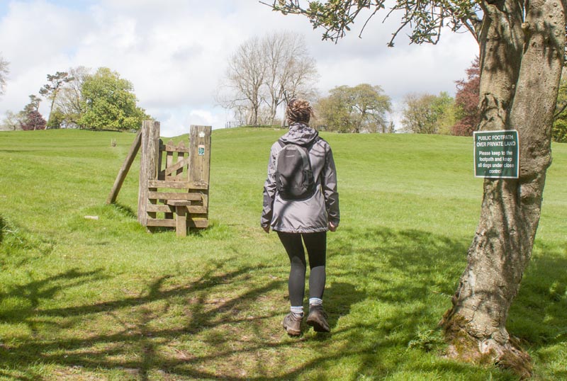
|
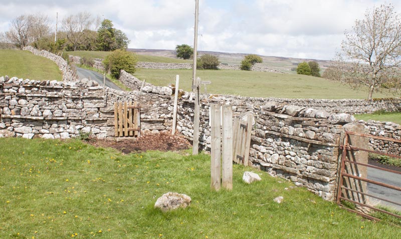
to walk through open fields. I don't know if the landowners expect you to climb the stile - but there is no
longer any trace of a fence at either side!
|
|
At the far right corner of the field go through to the next field, in which the path runs close to
the road. Further on, look out for a gated stile which takes you onto the road. Continue along the road
in the same direction until you come to
|
|
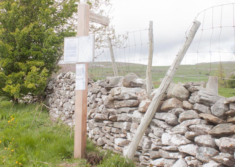
a finger post on the right indicating Carperby Village ΌML. When we walked there was a notice
attached to the post saying that there was an official footpath diversion. The new route wasn't shown
on our OS map (nor on the online OSMaps application when we returned home).
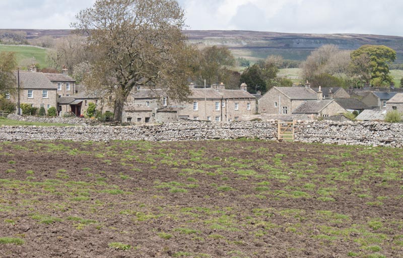
The route through the first field was straightforward, leading to the next finger post, from which you
could see
|
|
a wooden gate at the far side of the next field. If we hadn't been able to see the gate,
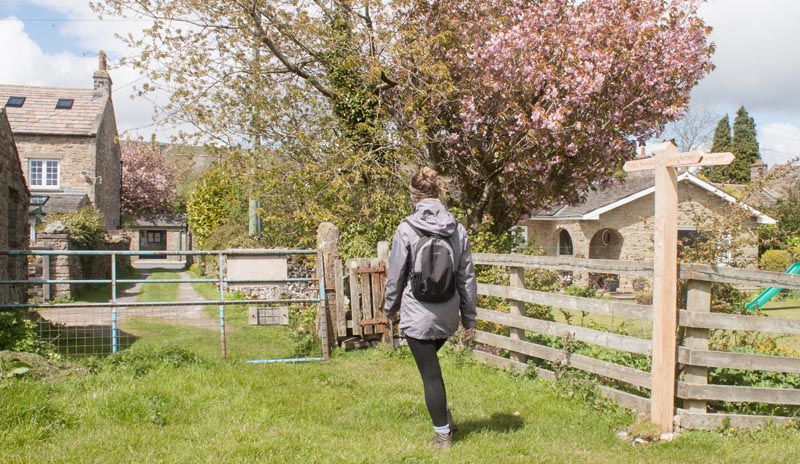
we would have had no idea where the path ran across the ploughed field! Once through the gate turn left,
following the direction indicated by a finger post.
|
|
Go through the gate pictured and follow the track between cottages to meet the road through the
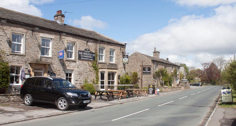
village. If you wish to take a short diversion to see the market cross (dating from 1674) turn left
along the road, however to continue the walk turn right
|
|
along the road, passing (or calling in for refreshment at) the Wheatsheaf Hotel on your left.
Continue along the road, passing an information board, pointing out some of the features of the east
end of the village.
|
|
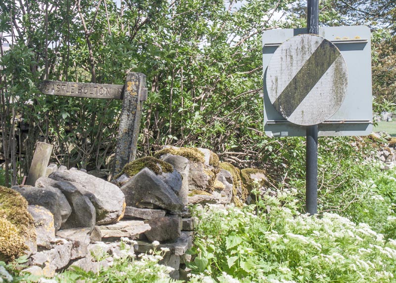
As you leave the village, follow this footpath sign on the left of the road for Castle Bolton.
|
|
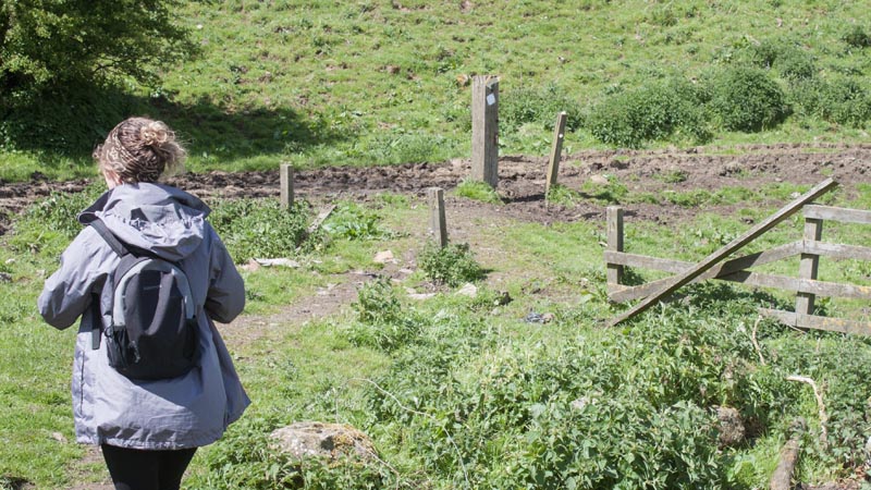
Walk down to the posts pictured and bear right.
|
|
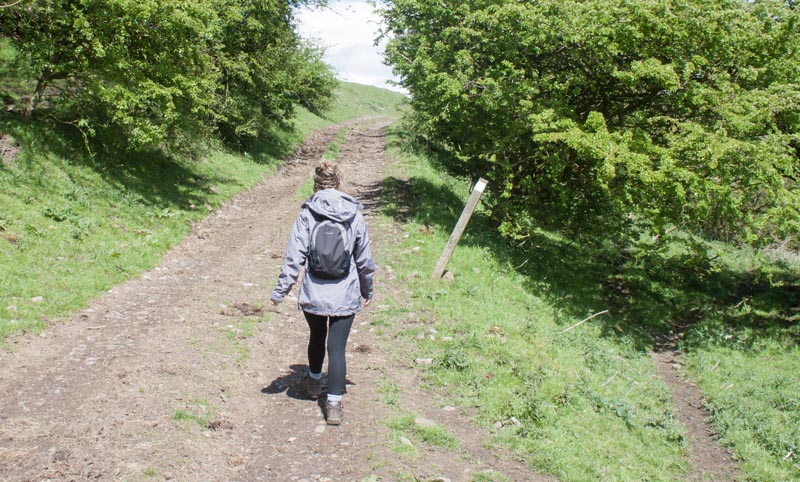
Join a track which lead uphill. At the top of the slope the track fades, but Bolton Castle is visible ahead.
|
|
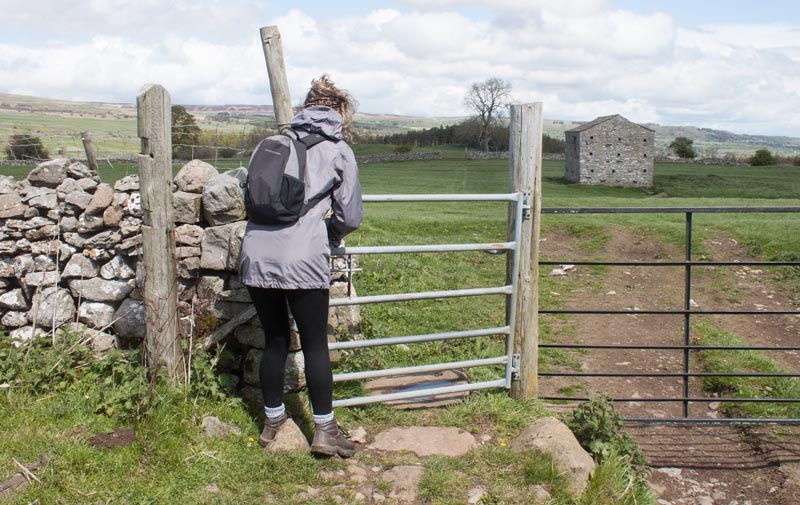
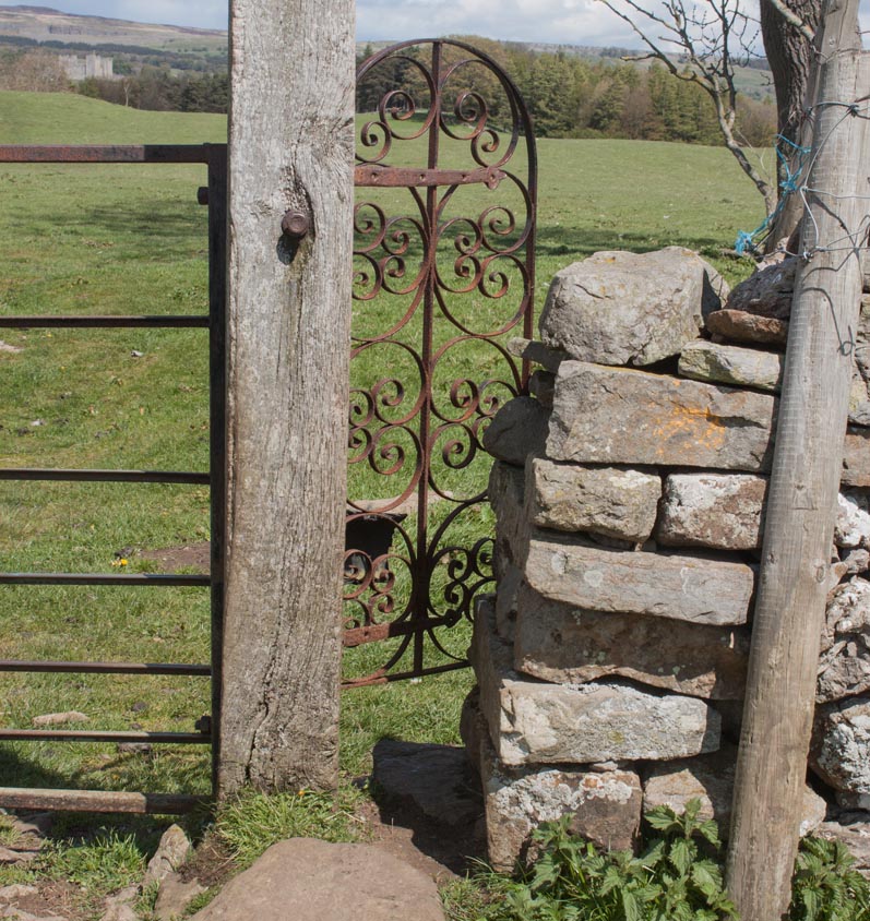
Continue through a series of gates and stiles ...
|
|
including this - the most ornate gated tile that we've come across!
|
|
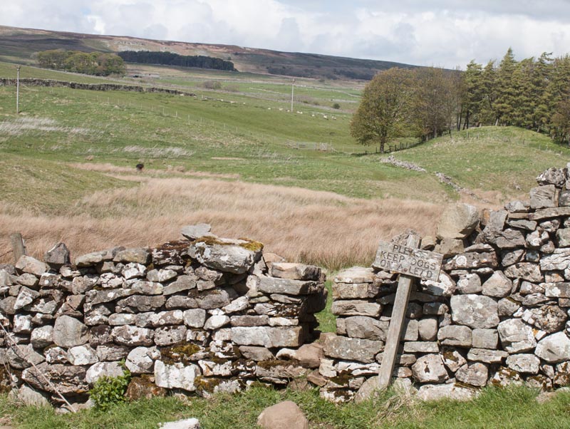
The route takes you through the stile pictured, over a small footbridge and then to the north of West Bolton Plantation, the group of trees pictured,
before arriving at
|
|
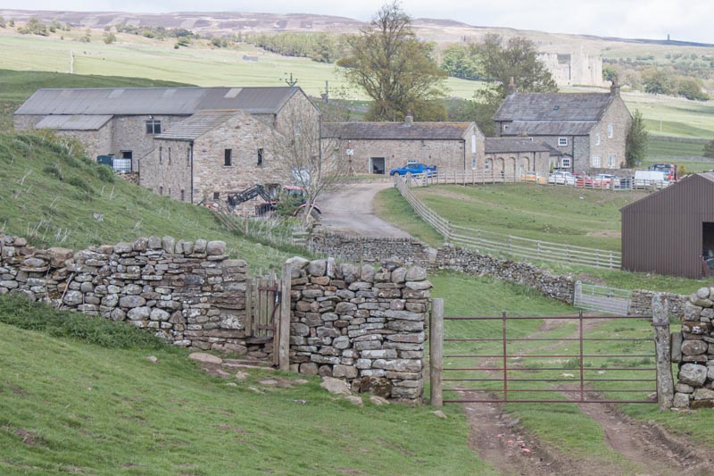
West Bolton. The footpath runs through the gated stile pictured then through a stone stile along the
track to the south of the farm buildings. Beyond the buildings go through a wooden gate and follow the
path through a couple of gated stiles before
|
|
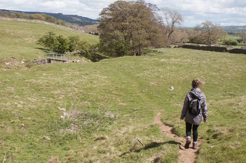
crossing Beldon Beck via the footbridge shown in the photograph.
|
|
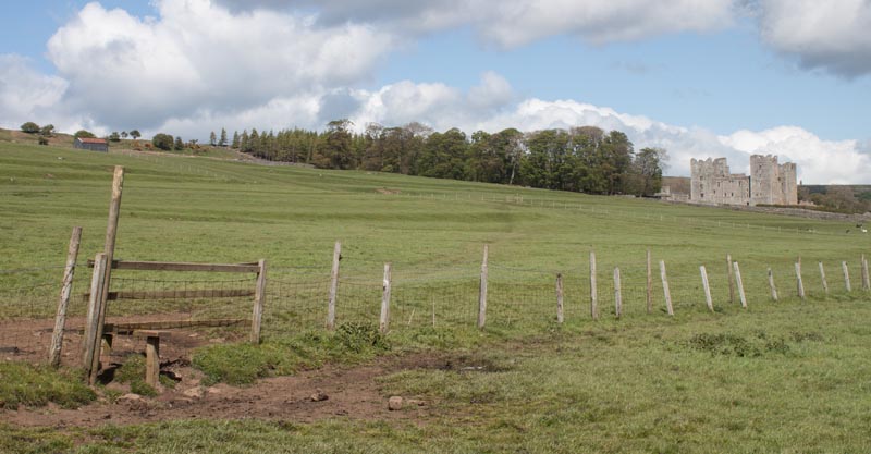
Follow the path through fields and over or through a series of stiles
|
|
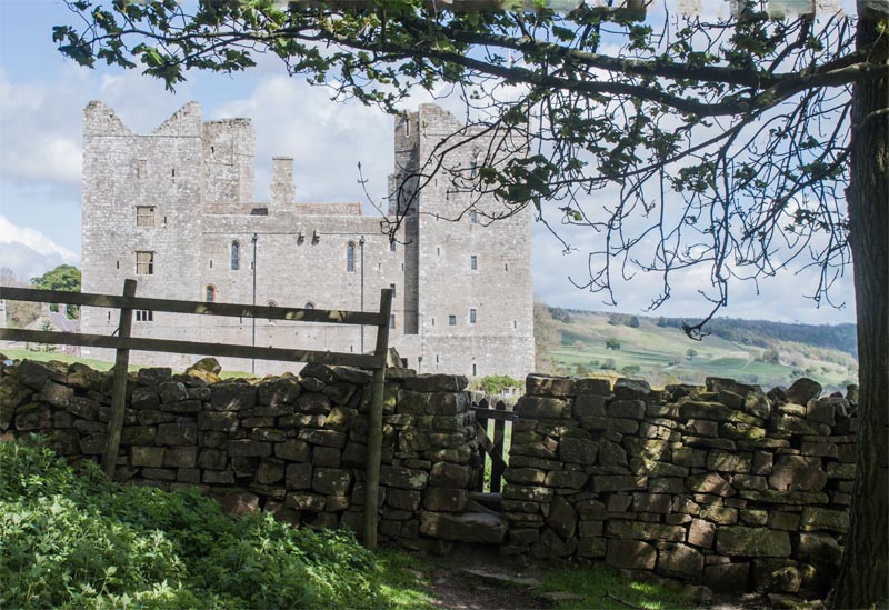
until the final stile brings you out close to the castle car park.
|
All text and images ©Graham Dean, June, 2015.


