|
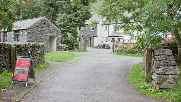
Leave the car park and turn right onto the narrow road.
|
|
|
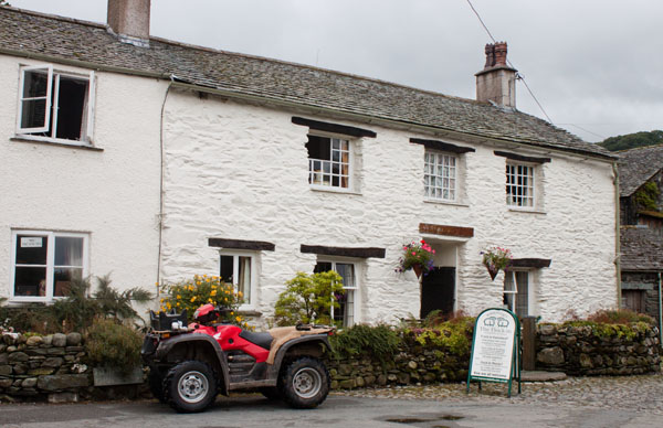
Bear left when you reach the Flock In tearoom. Follow the road as it winds between cottages until …
|
|
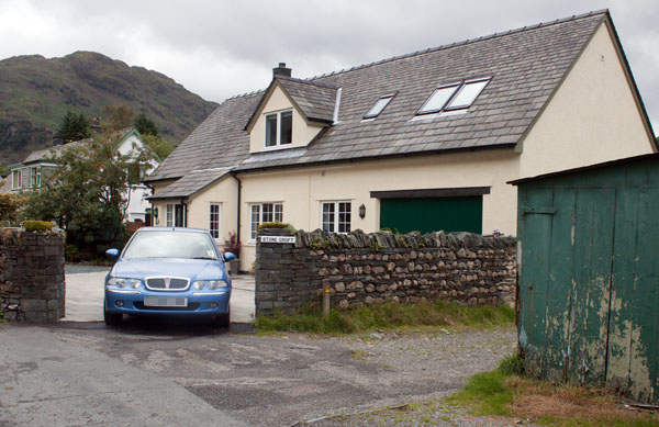
… you arrive at the dormer bungalow pictured (Stone Croft). Turn right down the lane before the bungalow -
there is a waymark arrow on a small wooden post.
|
|
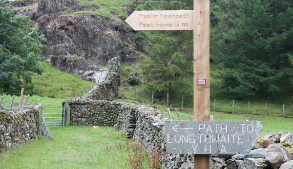
As soon as you have passed the side of the bungalow, go through the gate on the left (out of shot in the picture)
signposted for Peat Howe and Longthwaite Youth Hostel.
|
|
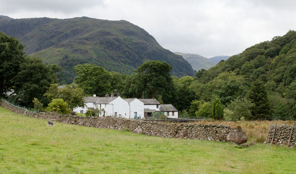
Go through a kissing gate and then follow the path across a field to what appears to be a gap in the stone wall
(it's actually a gateway - when we passed through the gate was propped open and the gatepost was on the ground).
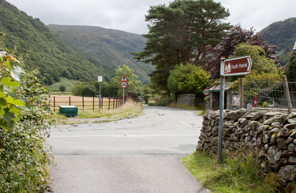
Once through the gateway the path follows the wall on the left. Pass through 2 gates and turn left to follow a surfaced track.
|
|
The track emerges onto the B5289. Cross the road and follow the minor road ahead in the direction of Stonethwaite.
|
|
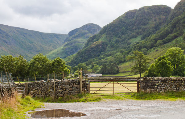
Where the road bends round to the right, pass through the metal gate ahead (as pictured) to follow the path
alongside the stone wall and pass a small sewage works.
|
|
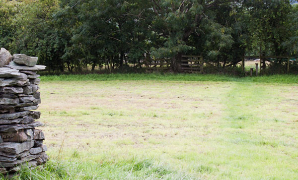
Cross a wooden stile into the next field then head towards the gate which leads out onto the road.
|
|
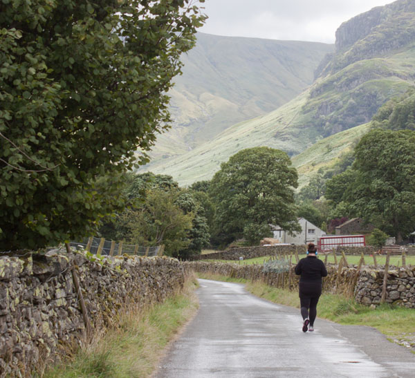
Turn left to follow the road to the hamlet of Stonethwaite.
|
|
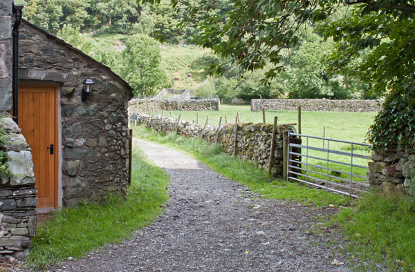
Where you see a telephone box and post box in front, turn left down a stony lane. Walk over the bridge which
crosses Stonethwaite Beck …
|
|
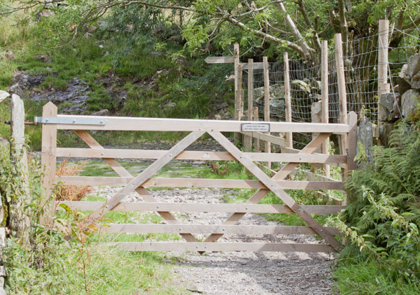
... and pass through the gateway ahead. Turn right to go through another gateway - the path is signed for Grasmere and Greenup Edge).
|
|
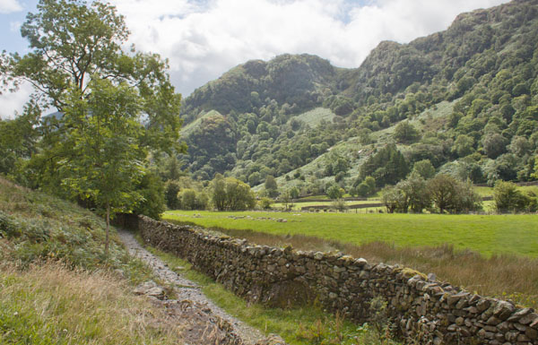
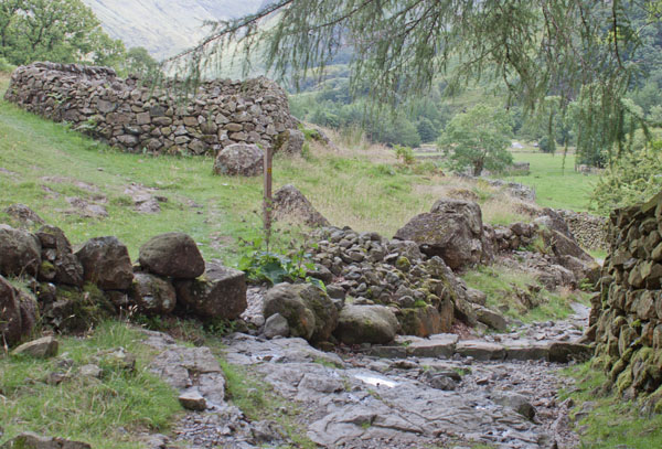
The level path runs to the left of a stone wall. After about 100 yards look out for …
|
|
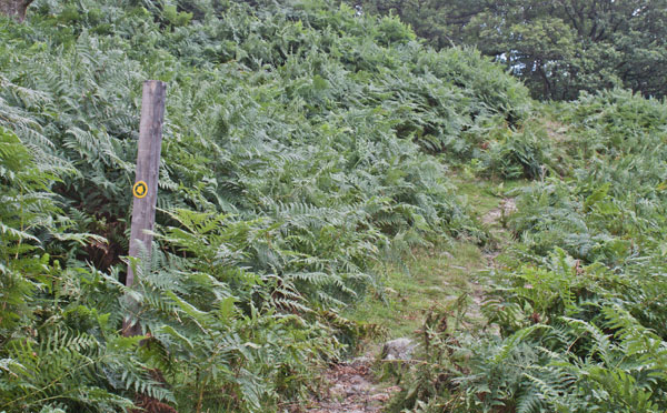
… the marker post shown in the photograph (there is a small sheep enclosure nearby). Bear left to follow the narrow footpath.
|
|
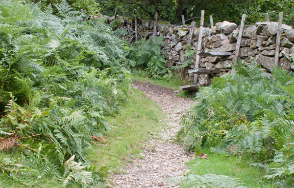
The path climbs gradually through bracken …
|
|
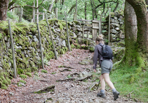
… and leads to a stone stile in the wall ahead. Climb the stile to enter the wood.
|
|
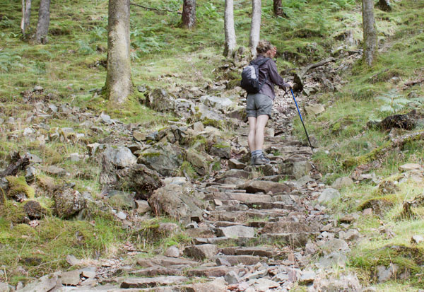
The path gradually becomes steeper and it leads to a wooden stile. Climb this and continue up the steep path.
|
|
I'm assuming that it is the National Trust that is responsible for constructing and maintaining the path
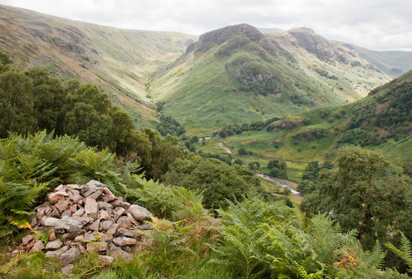
in such splendid condition. The route continues to zig-zag between the trees before emerging …
|
|
… onto the open fell. This photograph was taken as an excuse for a pause to catch my breath - as well as to admire
the stunning views looking back.
|
|
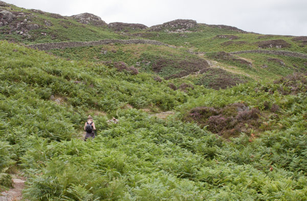
Leaving the woodland doesn't mean that you've reached the top of the climb - but it does become more gentle!
|
|
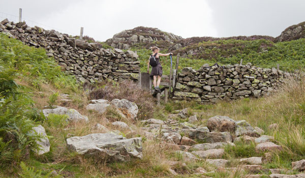
When you reach this stile, the climb is nearly over!
|
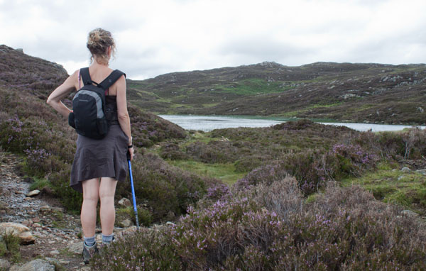
|
The path leads to Dock Tarn and then follows the western shore.
|
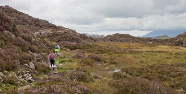
|
After leaving the tarn, follow the path north (still climbing gently) …
|
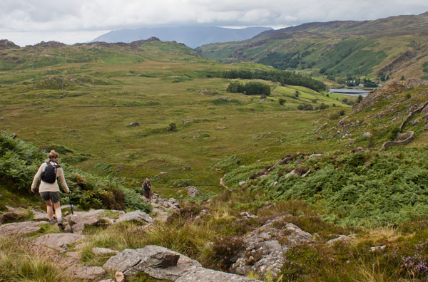
|
… until you gain the first glimpse of Watendlath and its tarn. There's a short length of steep descent and then …
|
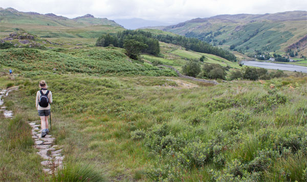
|
… a well-maintained path continues to descend more gently ...
|
|
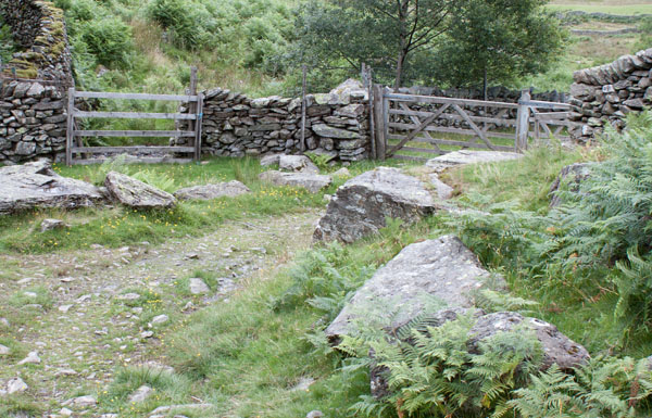
… to a gate on the right. Go through the kissing gate and continue to follow the track.
|
|
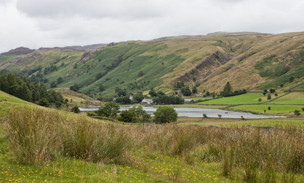
The route crosses and re-crosses a stream, before levelling out close to the tarn.
|
|
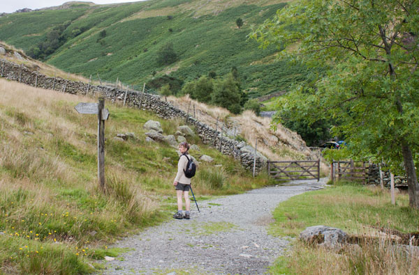
As you walk past the tarn there is a path signposted for Rosthwaite leading off to the left. This will be our
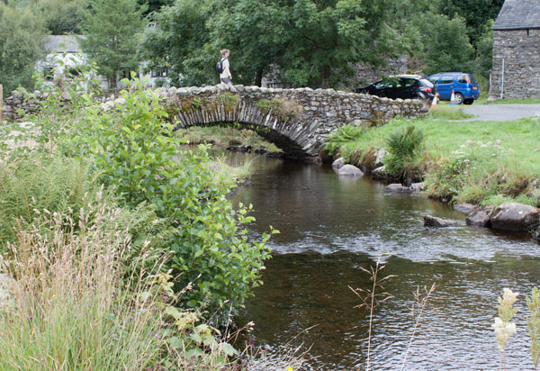
route after visiting Caffle House Tearoom at Watendlath. We continued ahead through the gateway ...
|
|
… and over the packhorse bridge.
|
|
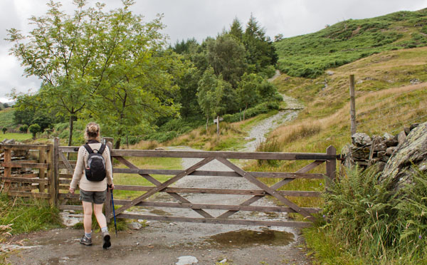
After a brief stop for refreshment we left Watendlath by the same path over the bridge, through the gateway pictured.
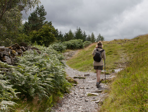
We then took the right fork, leading uphill.
|
|
The path continues uphill for about half a mile …
|
|
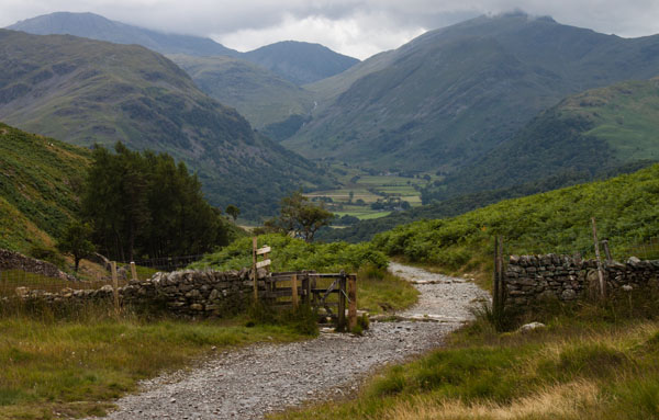
… before descending, quite steeply in places. Keep to the main track, passing a path on the right (signposted for
the Bowder Stone).
|
|
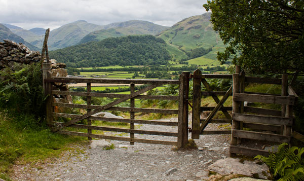
The track is clear and passes through a couple of gates.
|
|
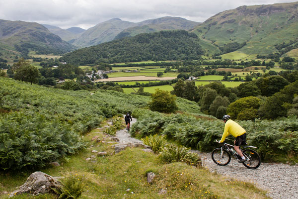
The route is also a bridleway - we didn't meet anyone on horseback, but two cyclists did pass us on the way down.
|
|
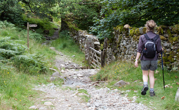
Turn right to go through the gateway pictured (following the sign for Rosthwaite).
|
|
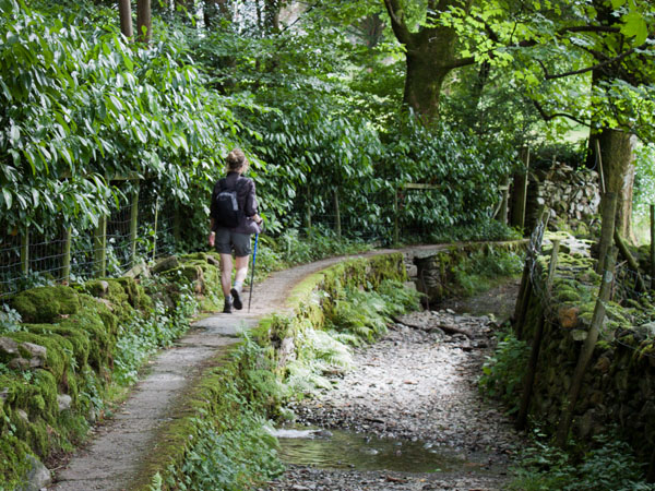
The elevated footpath crosses small streams and runs alongside the bridleway.
|
|
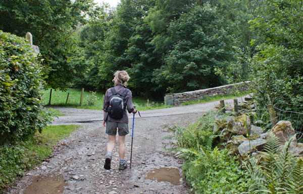
Where the bridleway crosses the hotel access road, turn right and cross the bridge.
|
|
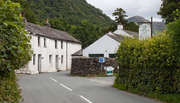
Turn left onto the road and then turn right to return to the car park.
|


