|
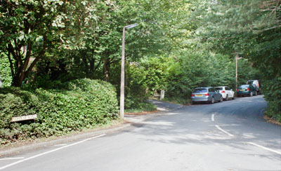
From the Leisure Pool car park walk away from the town centre to the roundabout on Brundholme Road.
Turn left. Follow the road for about ¼ mile, until…
|
<
|
|
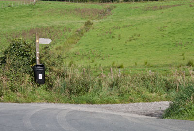
… you come to the bridleway sign shown (Skiddaw 4 miles). Turn right to follow the bridleway which leads over the A66.
|
|
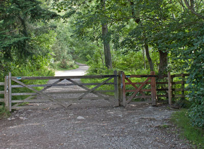
Pass through the gate into Latrigg Woods. Continue on the main track ahead,
avoiding a track on the right leading to Brundholme Wood.
|
|
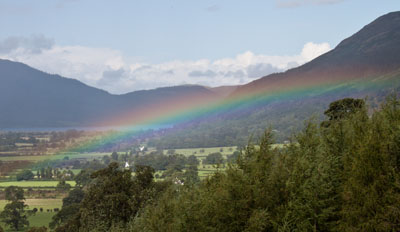
Where there was a gap in the trees on the left, we were fortunate enough to see a rainbow over Bassenthwaite.
|
|
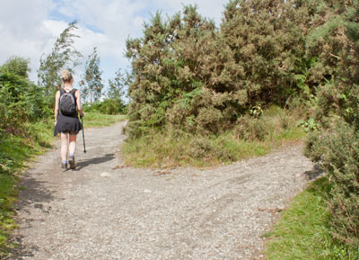
Continue ahead on the main track which climbs gently round the hillside. Avoid a couple of tracks on the right.
|
|
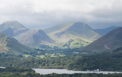
The higher you climb, the more impressive the views: this is looking back over Derwentwater and the fells beyond. |
|
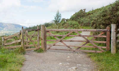
Pass through this gate and continue to follow the main pathway. You pass an information board about Gale Ghyll Woods
on the left: ignore the narrow path leading off to the right opposite the board and continue along the main track,
with the woods on your left and the open fell on your right.
|
|
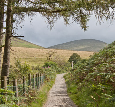
Follow the fingerpost on the right, indication Latrigg Summit ¾ mile.
|
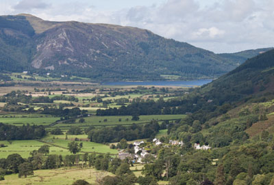
|
The path zig zags up the fellside, continuing to provide spectacular views of Bassenthwaite (pictured),
Keswick, Derwentwater and the fells beyond.
|
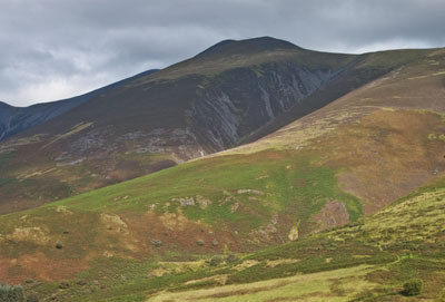
|
In the other direction are views of Skiddaw and the surrounding fells.
|
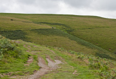
|
The footpath continues to snake up the side of the hill until you reach…
|
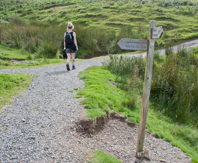
|
… a junction of tracks. Here you bear right.
|
|
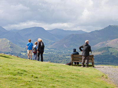
This bench is situated at the point which provides the best views…
|
|
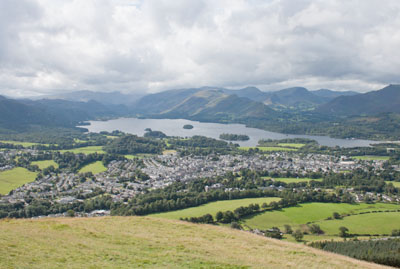
… this is just looking over Keswick, Derwentwater and Borrowdale.
|
|
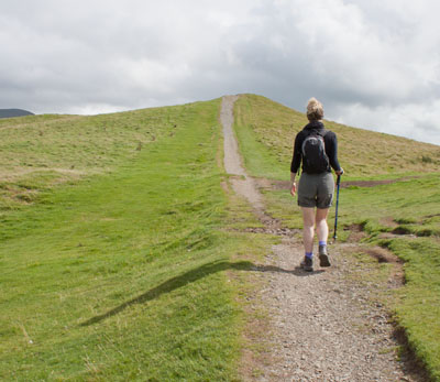
But we're not quite at the summit yet!
|
|
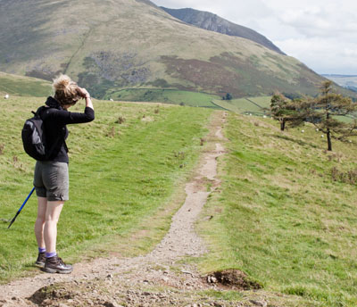
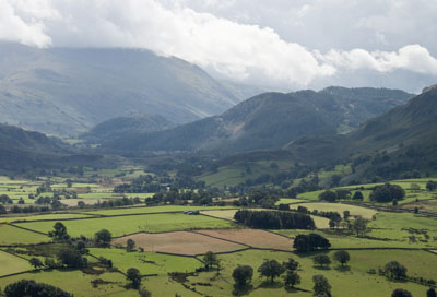
From the top, a narrower path leads gently downhill…
|
|
… providing views to the south and east.
|
|
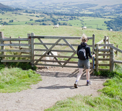
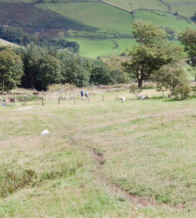
It leads to a gate, after which the paths on the ground become less distinct.
We carried on walking in approximately the same direction until we could see…
|
|
… a fence ahead. Here the path became clearer and led to a gate where the fence met a wider track from the left.
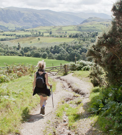
We went through the gate and followed…
|
|
… the well-worn track downhill for about half a mile to another gate with a stile alongside.
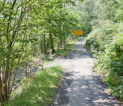
We turned right along the surfaced track.
|
|
Where a warning sign ahead prohibited vehicles we turned sharp left, following a sign which read, Permitted Path Keswick.
From here the route we took included some quite steep, stepped paths - for an easier return route continue
ahead to follow the forest road back to Keswick.
|
|
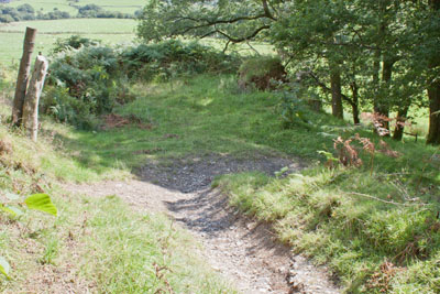
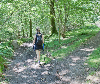
Our route zig zagged down through the woods.
|
|
At a junction of paths we went left (the right hand path probably re-joins our route further along,
without the descent to river level).
|
|
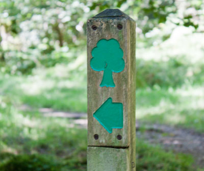
Wherever there were junctions of paths we followed the route marked with the sign pictured.
|
|
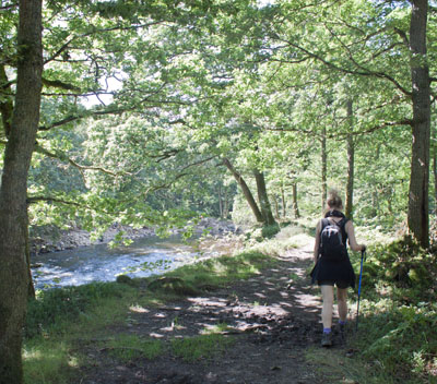
We walked alongside the river for a short length, before climbing steps back uphill.
|
|
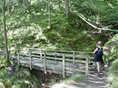
The path took us over a couple of footbridges (the one pictured was the first and the more substantial).
At a junction of paths marked by a finger post we took the right fork (turning left, to follow the sign for
Threlkeld would have led to the railway path and a more level route back to Keswick). Out route took us under
a viaduct carrying the A66.
|
|
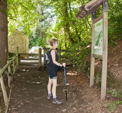
Shortly after passing under the viaduct we came to a gate leading out of the woods.
We turned left to join a road over the River Greta. After crossing the bridge we followed the road round to the right…
|
|
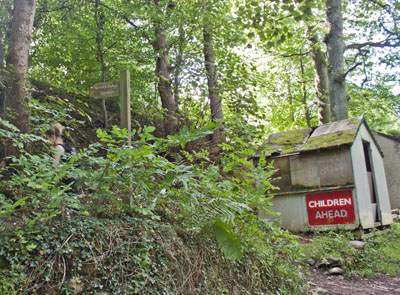
… before following the sign on the left, Keswick Railway Path. This took us up steps, at the
top of which we turned right on to …
|
|
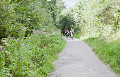
… the disused railway track. We followed the track for just over half a mile, back to Keswick.
|
|
|


