|
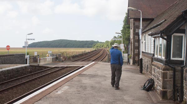
Enter the station and cross the track via the crossing at the end of the platform.
|
|
|
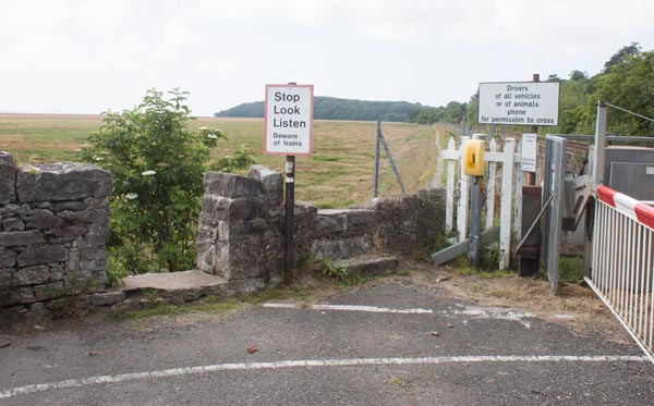
Immediately after crossing the railway line, turn right and go through the gap in the wall to the
left of the "Stop, Look, Listen" sign. Follow the narrow concrete path along the embankment.
|
|
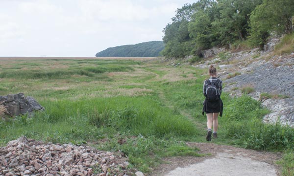
The concrete ends and the path drops down and skirts the rocky outcrop of Kirkhead End. At high spring
tides it can be a little wet along this section.
|
|
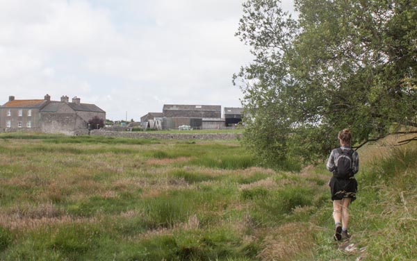
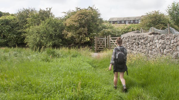
The path continues alongside the railway embankment, with Wyke Farm ahead. When you reach the
stone wall, turn left and follow the wall …
|
|
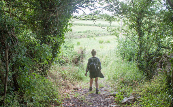
… until you reach the gates pictured. Go through the kissing gate and follow the track
up through a short stretch of woodland …
|
|
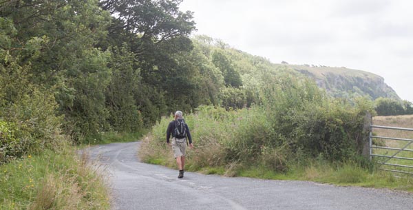
… then down …
|
|
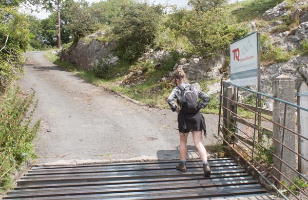
… to meet a narrow road. Turn left to follow the road for a few metres.
|
|
Turn left up the drive of the Outdoor Centre. When you reach the telegraph post bear right
(as the signs on the post indicate).
|
|
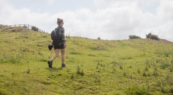
Follow the path along open grassland, with the cliffs on your right. Look out for peregrine falcons
hovering above the cliffs - and on fine weekends you may see light planes taking off from Cark Airfield
to drop parachutists.
|
|
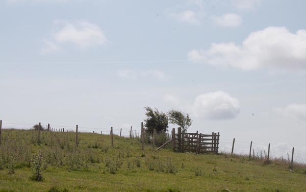
A fence crosses the headland - pass through the kissing gate at the right hand end of the
fence and continue up towards …
|
|
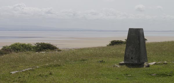
… the trig point. From here there are wide views across Morecambe Bay, with Heysham Power Stations
standing sentinel on the east of the bay and Piel Castle to the west. Walk past the trig point …
|
|
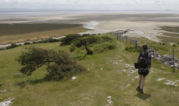
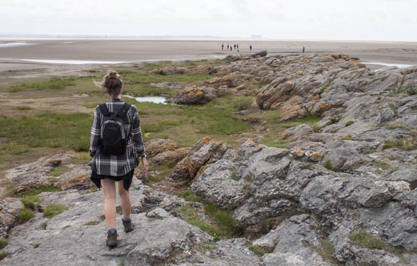
… following the path down to the beach …
|
|
… just to the left of the headland. Round the rocky outcrop, possibly having to paddle through channels
of water left behind by the tide.
|
|
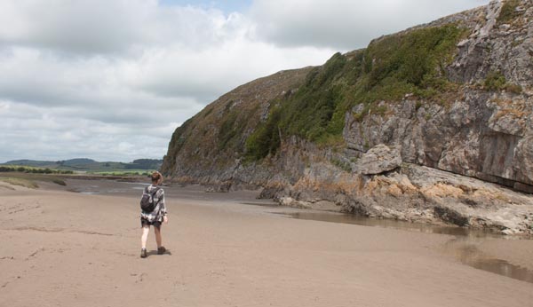
Continue along the sandy beach below the cliffs …
|
|
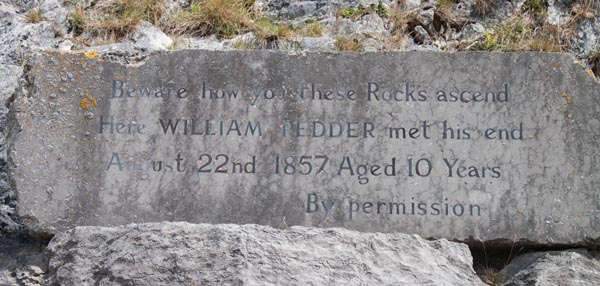
… taking heed of this poignant warning:
Beware how you these Rocks ascend
Here WILLIAM PEDDER met his end.
August 22nd 1857 Aged 10 Years
|
|
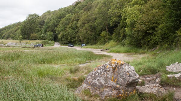
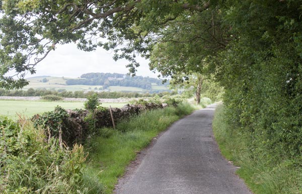
Continue along the beach below the cliff to join a lane.
|
|
Follow the lane, passing the drive to the Outdoor Centre until …
|
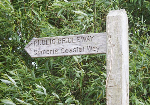
| … you reach the track on the right that leads back across to the start of the walk.
Re-trace your steps along this track and turn left at the end, still retracing your steps until …
|
|
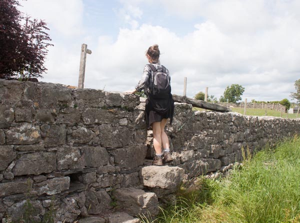
… you see this stone stile and footpath close to the buildings at Wyke Farm. Climb the steps and
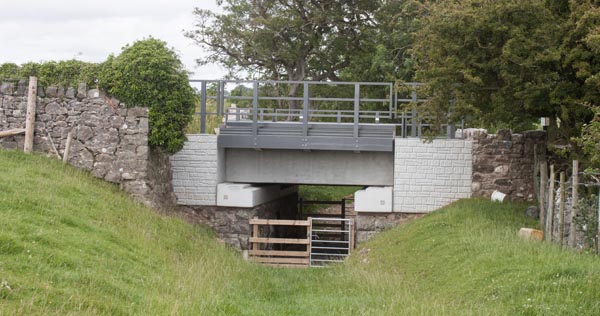
turn to the right, through a wooden gate. Walk alongside the wall …
|
|
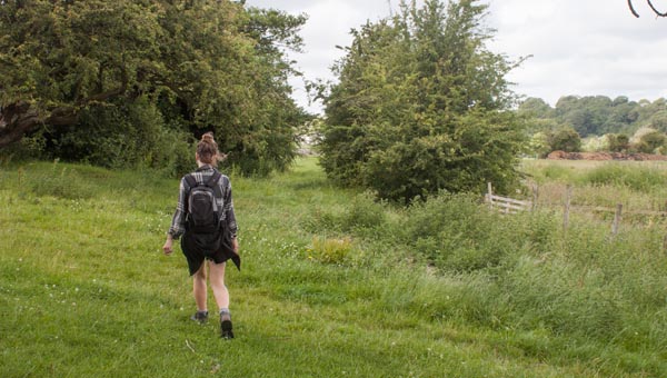
… to go under the railway line. Continue ahead …
|
|
… in the same direction.
|
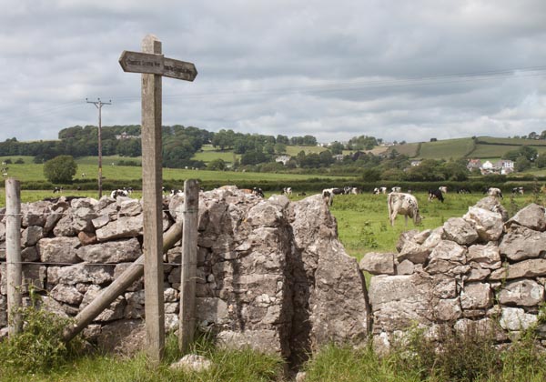
|
Walk through this stile (waymarked for the Cumbria Coastal Way). At the far right corner of the field …
|
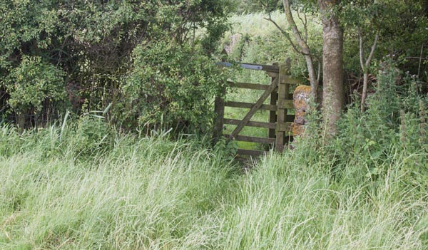
|
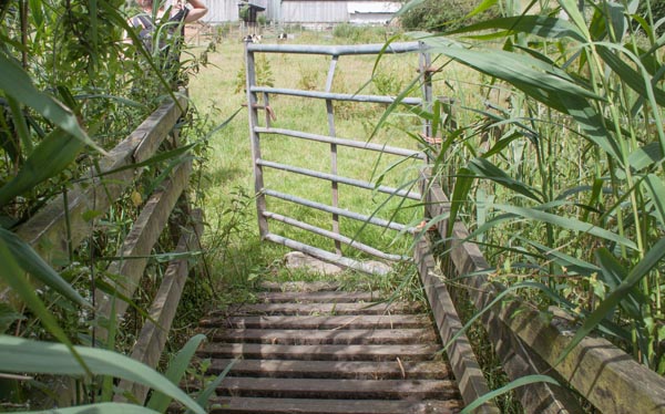
… go through this kissing gate. Walk along the right side of the next field to go through a similar gate …
|
|
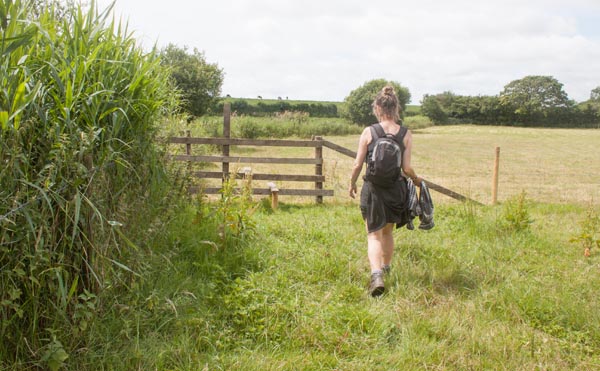
... with a short footbridge at the other side. Go through the metal gate and then …
|
|
Cross the stile on the left. Turn right …
|
|
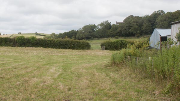
... to follow the field boundary again. Near the end of the field, head towards the ladder stile at
the left of the photograph. Climb the stile and walk along the right hand side of the next field.
|
|
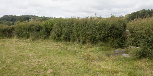
At the corner of the field, the "official" exit was almost hidden by the hedge - so we walked a
few yards further to exit the field through an open metal gate.
|
|
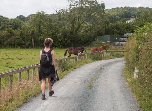
A few metres ahead we turned left onto a lane which lead us past stables.
|
|
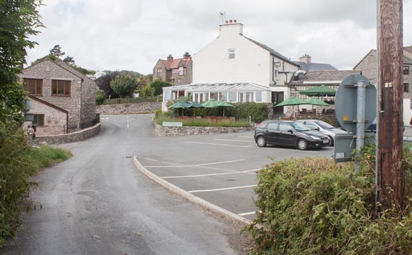
Where we met a narrow road we turned left to see the Pheasant Inn ahead of us. We stopped for
refreshment and had a wander around the village.
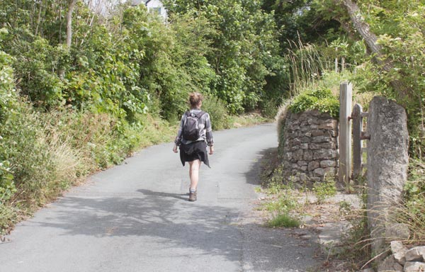
To continue this walk, follow the narrow road (Jack Hill) away from the inn …
|
|
… up a fairly steep incline.
|
|
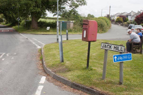
At the junction of roads turn sharp right into Kirkhead Road. The road continues to climb - at the
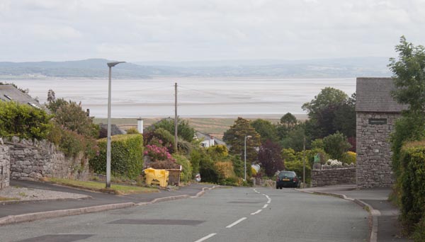
highest point it is higher than the trig point on Humphrey Head …
|
|
… before dropping down to provide great views of the Kent estuary.
|
|
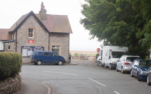
Kent's Bank Station is at the foot of the hill.
|
All text and images ©Graham Dean, August, 2015.


