|
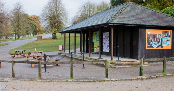
Leave the car park by walking up the steps on the right, behind the coffee shop.
|
|
|
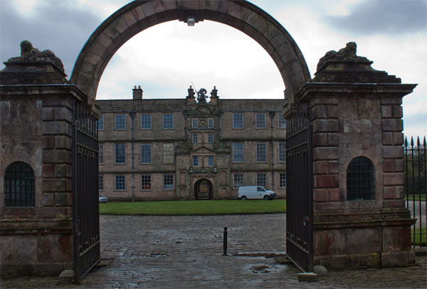
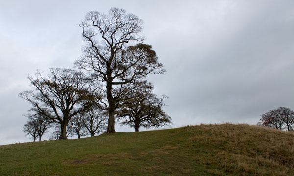
The steps lead to these imposing entrance gates. Walk up the grassy slope opposite the gates
|
|
which leads to a ridge.
|
|
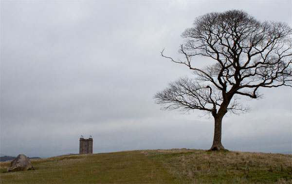
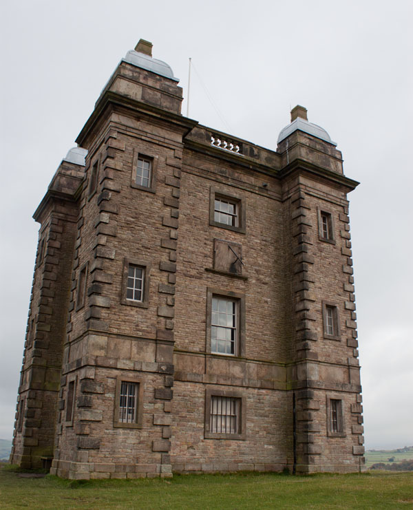
As you continue walking up the hill, you will soon see the top of the Cage. Continue walking towards this building.
|
|
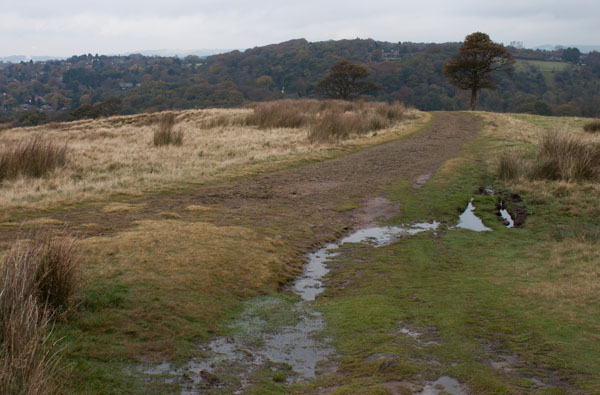
The Cage was built as a hunting lodge. The present structure dates from 1737 though there was an earlier building on the site, built in about 1580. Continue walking in the same direction beyond the Cage.
|
|
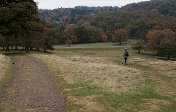
As you descend the grassy path joins a track with better surface. Continue walking in the same direction.
|
|
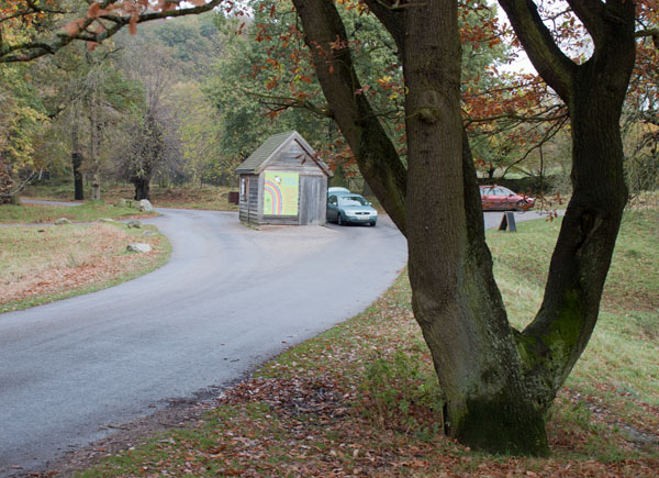
Before this track meets the road, turn right to follow a grassy path.
|
|
You join the road near the entrance cabin. Turn right along the road and then right again when you reach the cabin.
|
|
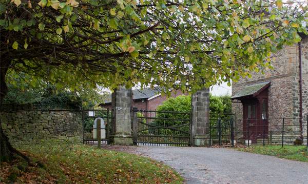
Leave the park through the wooden pedestrian gate and turn right, following the surfaced track signposted for Moorside.
|
|
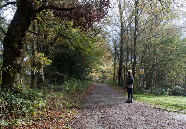
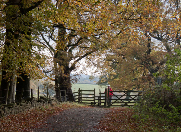
Where the track forks, follow the stony track which leads to the left. The track passes through woodland to
|
|
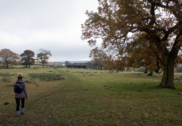
a stile. Climb the stile and follow the grassy path ahead
|
|
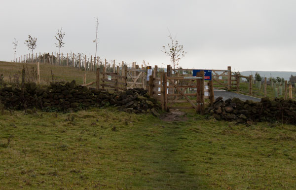
which leads towards farm buildings. Close to the farm there is a choice of wooden gate or stile.
|
|
The path leads to another gate. Pass through the gate, cross the service road and then go through the kissing gate. The path continues
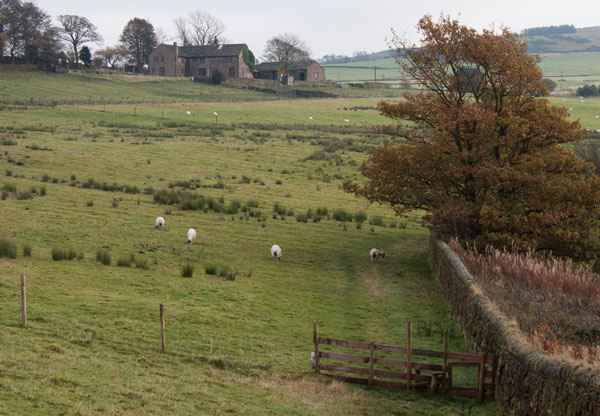
alongside a post and wire fence until the fence meets a stone wall. A few yards beyond this, go through a wooden gate.
|
|
The path now follows close to a stone wall on the right, passing over a couple of wooden stiles.
|
|
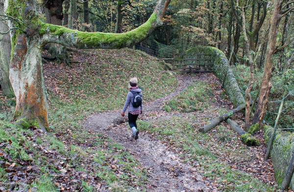
At the far end of the reservoir, the path follows the wall to the right.
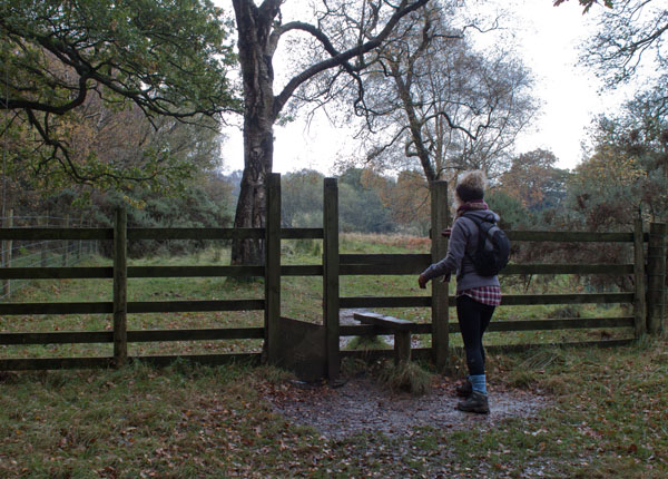
Cross the wooden stile pictured above to enter woodland. The path crosses the brook and then leads up to ...
|
|
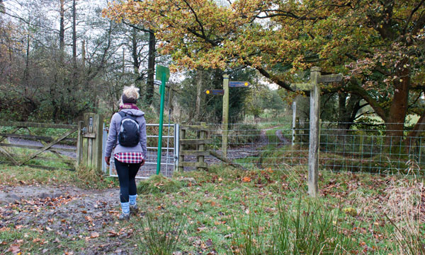
yet another stile. The path continues ahead, until you reach
|
|
a gateway at which 5 paths/tracks meet.
Go through the gate and turn sharp right, following the finger post marking the Gritstone Trail.
|
|
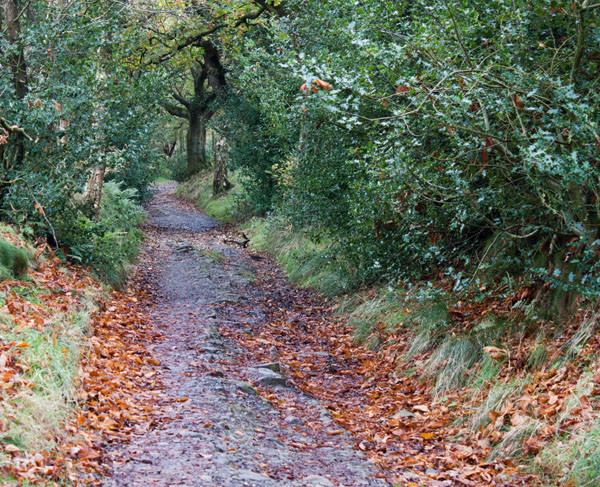
The track leads downhill, between trees
|
|
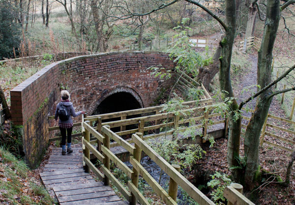
until you come to Bollinghurst Bridge. The bridge is unsafe, possibly beyond repair as there is a
diversion via a well constructed wooden footbridge.
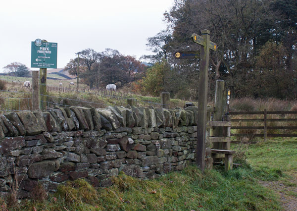
Continue along the track for just less than 300 metres, until you see
|
|
a stile and footpath signs on the left. At this point the walk can be shortened by continuing along the track,
which leads back to the car park.
Those who wish to follow the full route should climb over the stile and follow the sign for the Gritstone Trail and Bowstones.
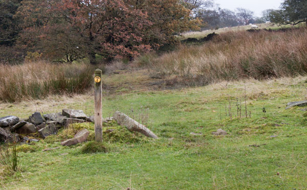
The path may not be clear through this field, so walk towards a pole carrying overhead wires. When you are close to the pole
|
|
you will be able to see the next footpath marker.
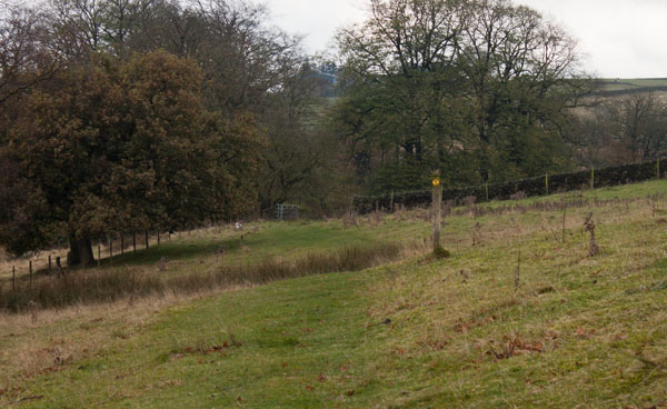
Follow a series of similar markers.
|
|
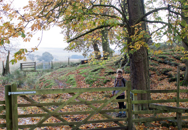
After passing the marker post shown, the path leads through a gate. Beyond this gate there is an area which shows
traces of a ruined building, with a group of tall trees in the centre. Turn left
|
|
to climb stile by a wooden gate. Then continue ahead to pass through a metal kissing gate.
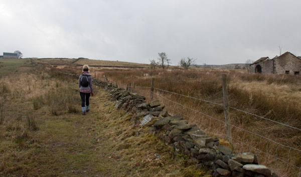
Once through the kissing gate turn right.
|
|
The path follows a stone wall. Further along the path there was a wooden stile - but no wall or fence!
|
|
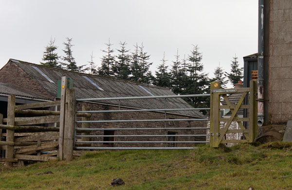
At this farm, proceed through the wooden gate,
bear left across the farmyard and then walk along the farm track down to the road.
|
|
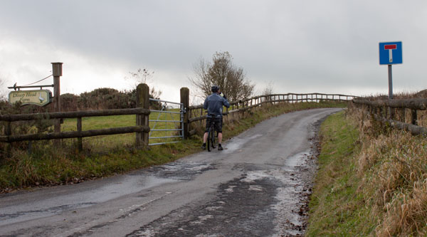
At the junction with the road turn sharp right along the track pictured above.
Continue for just over 300 metres, passing Dissop Head Farm on the left.
|
|
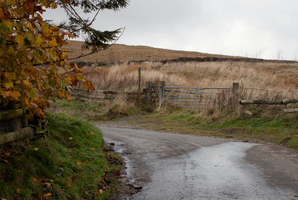
Just beyond the farm, where the track bends to left, look out for a finger post and gates on the right.
Go through the wooden gate to walk alongside a wooden fence (on your right - this boundary was not shown on the map we were using). This area had been fairly recently planted with saplings.
Note: the walk can be extended to follow the track to Bowstones, then turn right to return to Lyme Park.
|
|
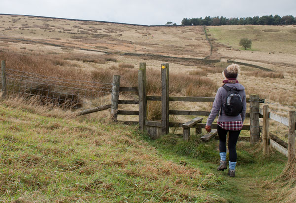
Cross the stile pictured and walk in the direction indicated by the marker. This leads to a stile in the fence on the left. Once over the stile turn right to follow the line of the field boundary.
Cross another wooden stile and an area of rather boggy moorland, before coming to a stone stile over a rather high wall.
|
|
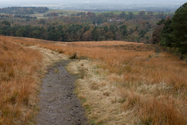
Ignore the ladder stile on left which leads into the plantation. Instead follow the clear path downhill.
It divides, with the right hand branch following the wall. We followed the left fork, which is the path marked on the map.
If curves away from the wall, and then bends back. All the way down the hill there are splendid views over greater
Manchester and the park (mist and low cloud hindered the views on the day we walked).
A very high ladder stile (complete with handrail) takes you back into Lyme Park.
|
|
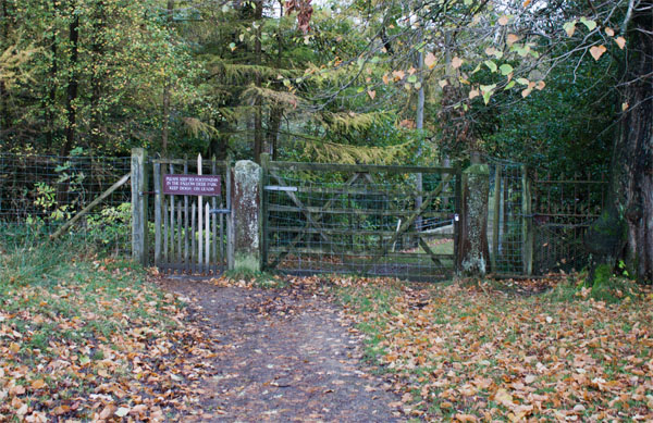
Once in the park we followed the path towards the hall, but turned left through the gate shown, leading into the deer park.
|
|
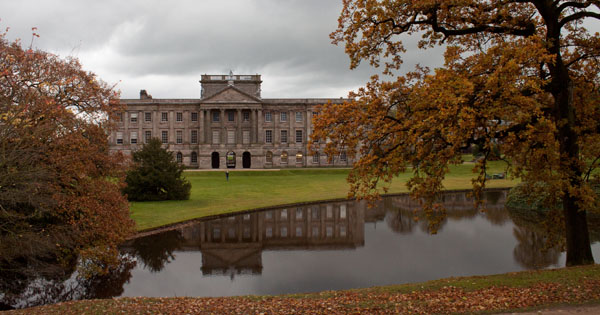
We followed the path close to the boundary fence on the left, which provided impressive views of the hall and gardens.
The path takes you to a gate opening on to the car park.
|


