| Map: |
Sheet OL24 Peak District - White Peak Area. |
View Wyedale Car Park in a larger map
|
| Start: |
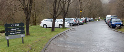
SK 104 725. Wyedale pay and display car park is situated on the A6
opposite the entrance to Topley Pike Quarry. On busy days it does
fill up - the nearest alternative is at Millers Dale. |
| Route:
| click here to view the route superimposed on GoogleEarth
(GoogleEarth must be installed on your computer
in order to view - click here to download GoogleEarth).
This
is a linear walk with a difference; the outward leg follows the
Monsal Trail, so is level and well-surfaced. The return route passes
through the same valley, but at river level, approximately 50 feet
below the former railway cuttings and tunnels. The walk passes
through a very dramatic landscape, but is also muddy, slippery,
involves some short scrambles, stepping stones and is subject to
flooding. There is an alternative route via Wormhill.
The
disused railway which forms the first part of the walk is rich in
industrial archaeology. All of the walk is rich in natural history,
with Cheedale being as near to a rainforest as can be found in
Britain. |
| More info: |
Monsal Trail Peak District NationalPark
Cheedale Derbyshire Wildlife Trust |
| Refreshments: |
The Anglers Rest at Millersdale serves food and drink.
The recently
opened cycle hire cabin near Blackwell Mill Cottages also
incorporates a tuck shop selling tea, coffee and confectionary.
|
|
|
| Route profile: |
The profile that I created using Quo is misleading, due to the nature of the first part of the walk
following a disused railway line through tunnels.
|
|
Leave
the car park by the bridleway at the far end.
|
|
|
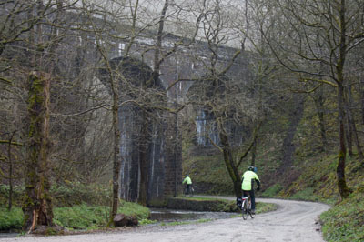
This
is the first of two railway viaducts that you pass under. This one is
still used by mineral trains from Tunstead Quarry (dubbed Britain's
first superquarry).
|
|
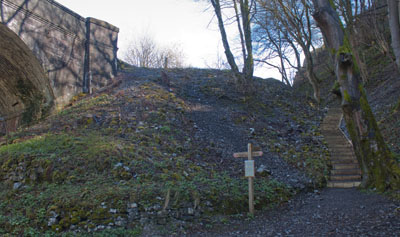
On
the right hand side of the track, just before passing under the third
viaduct, there are steps up to Monsal Trail. Either climb the steps
or follow the alternative routes signposted for cyclists. Follow the
trail in the Bakewell direction.
|
|
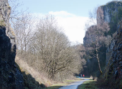
The
Monsal Trail follows the route of the Midland Railway, which opened
in 1863. Trains ran until 1968. For 12 years it remained unused,
until taken over by the Peak District National Park. However, most of
the tunnels remained closed until 2011.
|
|
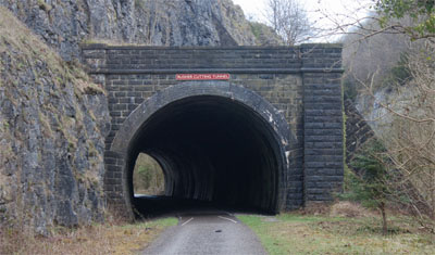
The
first tunnel, Rusher Cutting, is short...
|
|
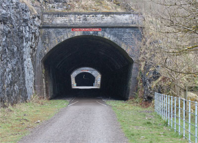
... as
is Chee Tor No 2 Tunnel.
|
|
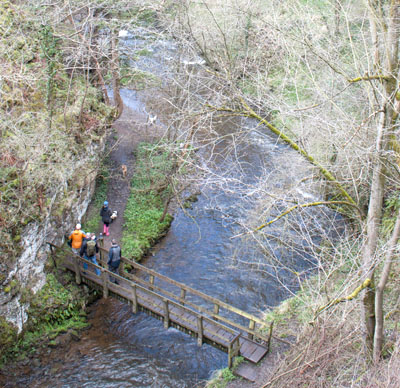
Between
the two Chee Tor Tunnels the trail crosses a viaduct over the River
Wye - and also the footpath by which we return. When you see
walkers below, it is reassuring that the lower footpath is not closed
due to flooding
|
|
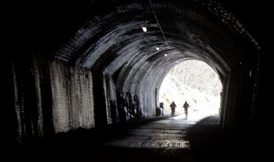
Chee
Tor No1 Tunnel is the longest of the three tunnels we pass through -
but since its reopening, is well lit and well surfaced.
|
|
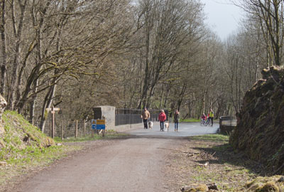
Almost
immediately after leaving the tunnel, the trail crosses the river
again. In the past we have come across abseilers descending from this
viaduct - but there were none on this day.
|
|
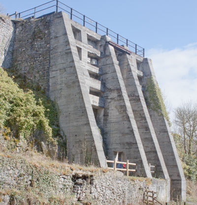
On
the left you pass disused like kilns. The nearby information board
not only details how these were used, but gives information about how
this structure now provides nesting for swifts and a place for bats
to hibernate
|
|
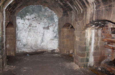
It
is possible to take a closer look at the structure, both by
investigating the interior...
|
|
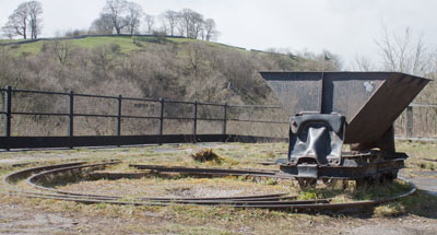
...and
taking a path on the left that climbs up to the top.
|
|
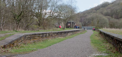
Millers
Dale Station was once the largest on the Midland Railway - now it
houses picnic benches and public toilets. There is also a large car
park, which could be used as an alternative starting point for the
walk.
Leave
the station following the Bakewell signs.
|
|
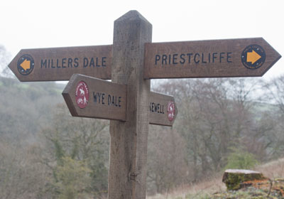
After
passing more lime kilns (this time on the right), look out for the
footpath sign shown above.
Turn
left and walk down the steep path to...
|
|
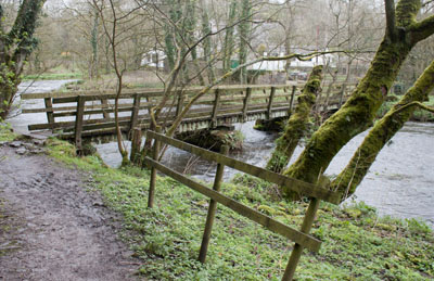
...come
to the river and cross the footbridge.
|
|
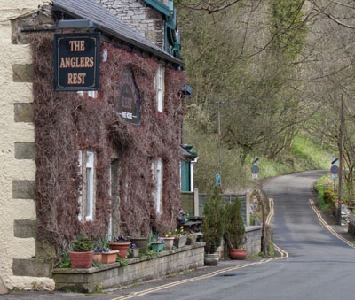
On
meeting the road, turn right for refreshment at the Anglers Rest or
turn left to continue with the walk
|
|
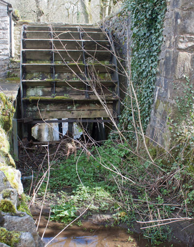
Look
out for the remains of waterwheel on left - the nearby information
board details the history of the mill at this site - there was a
mill recorded here in the Domesday Book.
After
passing the site of the mill, continue along the road and under the
railway viaducts.
|
|
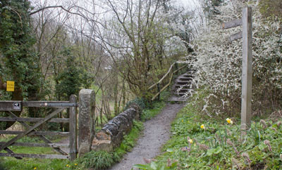
Turn
right along the minor road signposted for Wormhill. Almost
immediately on the left you pass the nature reserve gate. Follow the
path between gate and signpost, then through the gap in the wall on
the left (don't climb the steps ... they lead back to Millers Dale
Station).
|
|
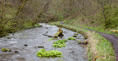
The
path leads alongside the river, and is quite well surfaced until...
|
|
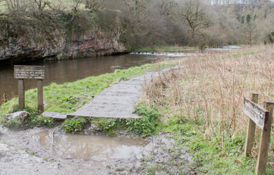
...you
reach a junction of paths and the sign pictured, which reads:
Cheedale
Difficult
footpath & likely to flood in wet weather. Alternative routes via
Blackwell or Wormhill.
Continue
straight ahead to walk along the short stretch of boardwalk.
(If
the route through Cheedale is not passable, we would recommend
following the path to Wormhill, then through Hassop Farm. Join the
Pennine Bridleway and then rejoin this route near Blackwell Mill
Cottages.)
|
|
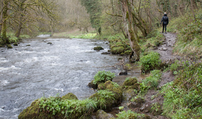
The
path through this part of the valley is narrow, usually muddy and
slippery.
|
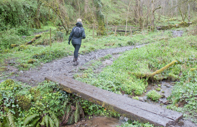
|
Where
streams enter the valley from the right, first cross the plank bridge
shown, and then turn left to cross a second footbridge.
|
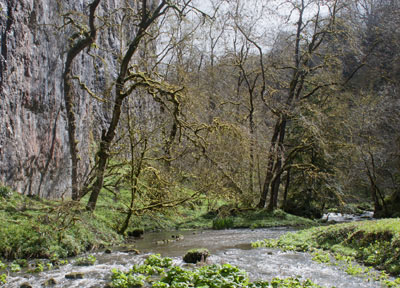
|
The
footpath continues alongside the narrowing gorge...
|
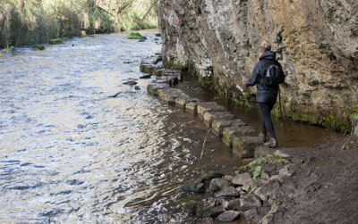
|
...until
the river takes up the whole width. The stepping stones allow you to
continue to where the gorge widens again.
|
|
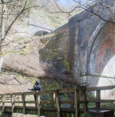
As
you cross a footbridge, you can look up to the trail, where it passes
over a viaduct between tunnels. The path continues on the left bank
for a short distance, before you cross another wooden footbridge,
back on to the right bank.
There
is another section with stepping stones – take care not to catch
your head on the overhanging cliff as you walk along the last few
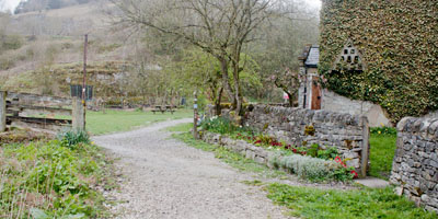
stones. You pass under two more viaducts and the path widens as you approach...
|
|
...Blackwell
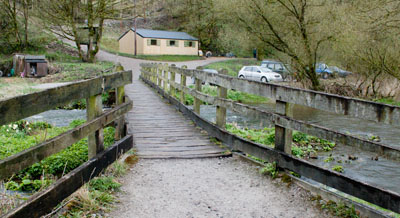
Mill Cottages. Here you turn left to cross...
|
|
...the
footbridge. The cabin ahead houses cycle hire and a shop where tea,
coffee and other refreshments can be bought.
Take
the righthand fork, which passes under the railway and retrace your
steps back to the car park.
|


