|
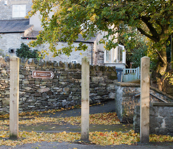
Exit the car park by the short footpath to the right of the public toilets. Turn right to walk along the road, following the direction of the signpost towards Lathkill Dale.
|
|
|
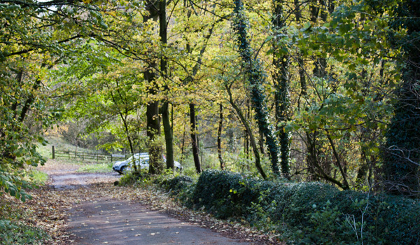
Continue along the road as it winds down the hill, passing a small disabled car park on the right.
|
|
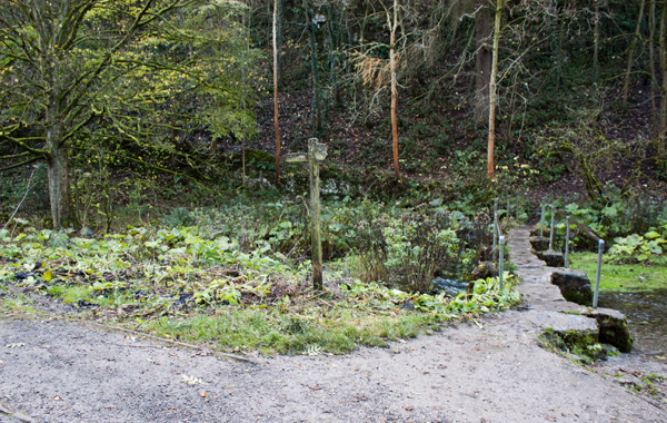
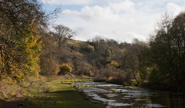
The road comes to an end between buildings by the river. Don't cross the clapper bridge ahead - instead turn left to follow a footpath which …
|
|
… leads through a number of gates and stays close to the river.
|
|
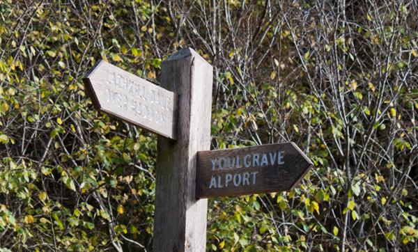
Where the path meets a minor road, turn right to follow the road across Conksbury Bridge.
|
|
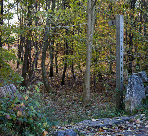
Follow the road for about 100 yards, until you come to the footpath sign pictured on the left. Follow this path for a short distance, before crossing a wooden stile. Continue ahead …
|
|
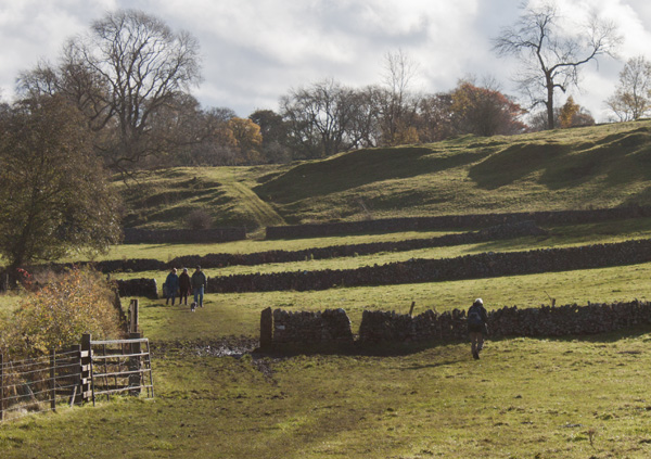
… to follow the path across a farm track and through a number of gated stiles.
|
|
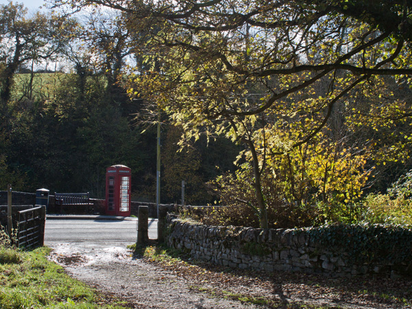
The path brings you to Alport, where you turn right to follow the road up the hill away from the hamlet.
|
|
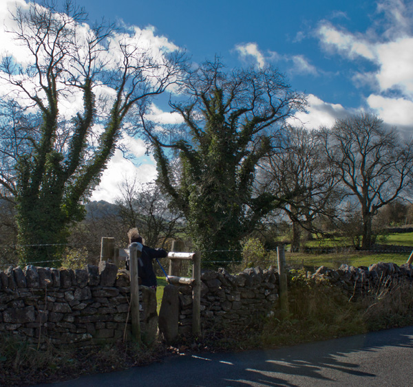
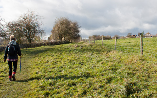
Follow the road up the hill for about 200 yards. On the right hand side of the road there is a bench and a finger post pointing to the gated stile on the left. Go through the stile and follow the field path. The path bears to the right towards a marker post by a gap in a wall.
We've now left the River Lathkill and are following the River Bradford upstream.
|
|
You can soon see the rooftops and church tower at Yougreave (or Youlgrave) across the fields on the right. Follow the path until …
|
|
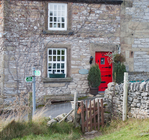
… it meets Mawstone Lane. Turn right up the Lane which becomes Bradford Road. At the top of the hill, by the church, turn left to follow Church Street through the village (or alternatively cross the road for refreshment at the George Hotel).
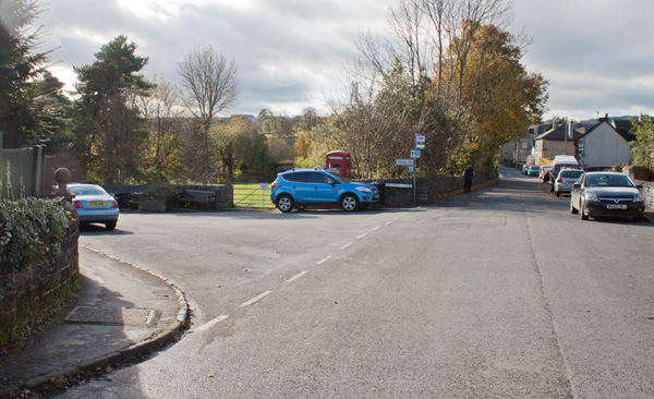
As you walk along Church Street you will pass the Bull's Head on the left and an unusual circular structure on the right (this was formerly a small reservoir - the village water supply from the 1830s to the 1860s).
|
|
Follow Church Street as far as its junction with Holywell Lane. Turn left and walk down the lane …
|
|
… until you come to the end of the road.
Cross the River Bradford, pass through a metal gate and turn right.
|
|
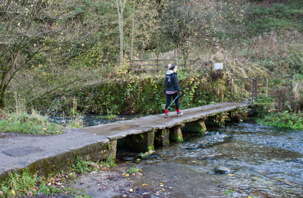
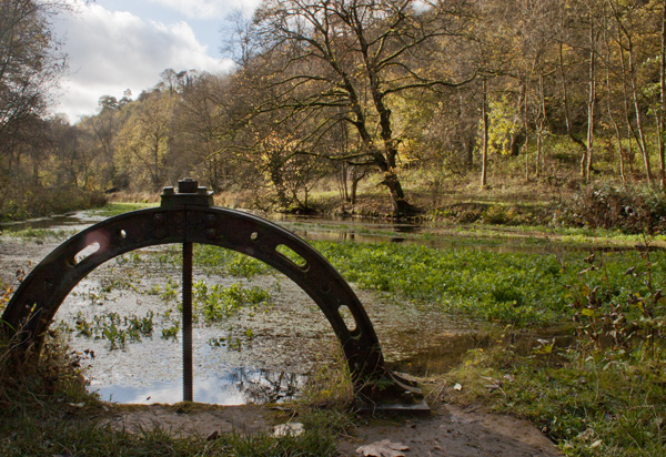
Follow the path up the dale, alongside the weirs and the sparklingly clear trout pools.
|
|
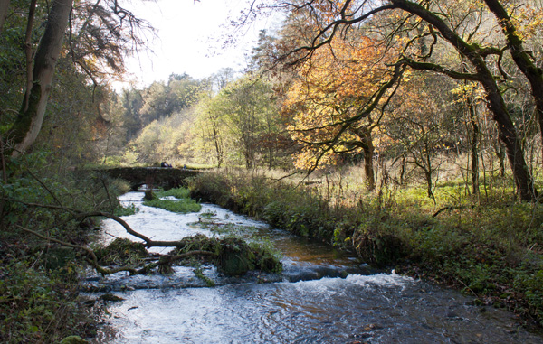
Turn right to cross the bridge pictured above, following the Limestone Way markers. Once across the bridge, head uphill and where the path appears to divide, take the left fork.
|
|
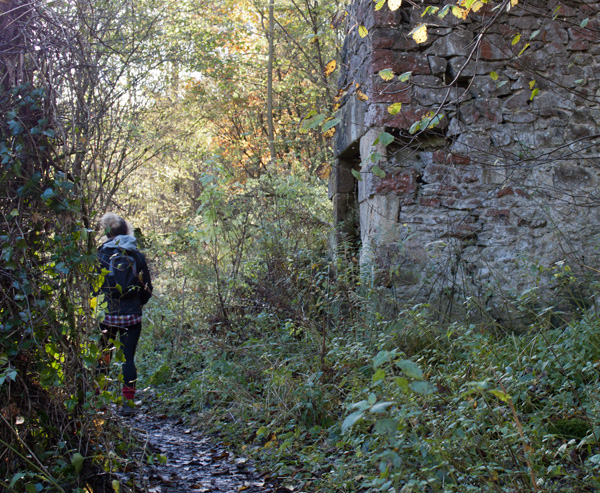
The path leads past the ruin shown and zig-zags through the woodland to emerge onto …
|
|
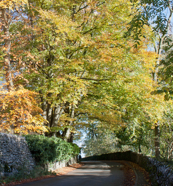
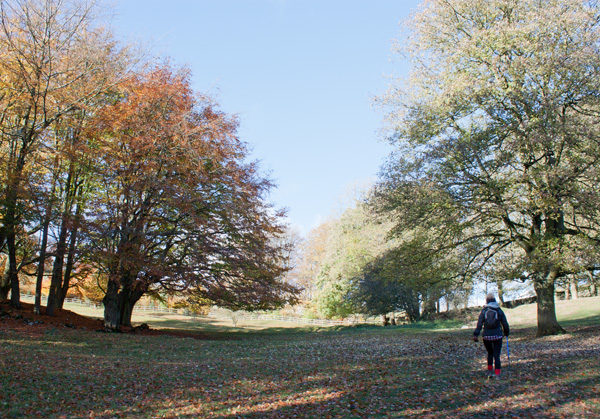
… a minor road. Turn right to follow the road for about a quarter of a mile. Look out for a footpath finger post on the left where the road bends sharply to the right. Go through the gated stile - again following the direction of the Limestone Way.
|
|
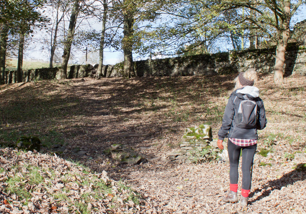
Walk through the field between trees …
|
|
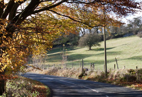
… and then climb a stone stile to join another minor road. This time turn left.
|
|
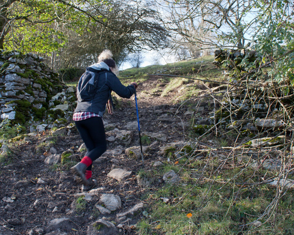
Walk along the road for about 100 yards and then follow the finger post over a gated stone stile on the right. The path across the field bears to the left.
|
|
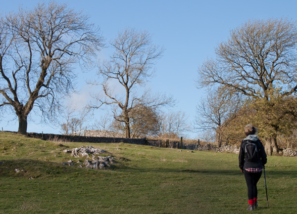
Proceed through a gap in the stone wall at the top of the field and cross an area with outcrops of limestone.
|
|
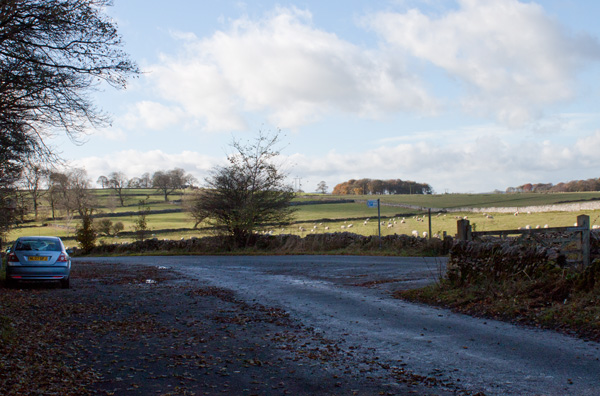
Walk towards the gate in the corner of the field. Continue to follow the path as it bears to the right and widens to become a muddy track. This meets a minor road next to Moor Lane car park. Turn left and walk along the road for about 100 yards.
|
|
At the T junction shown above, walk straight across to the finger post and gated stile. Follow the path which crosses a number of fields.
|
|
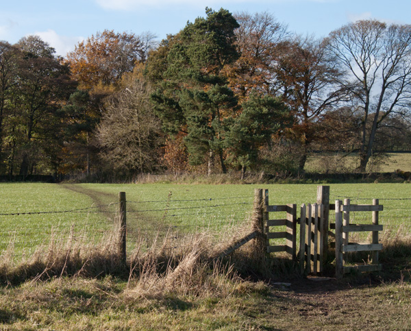
The picture above shows the gate into the last field before the route enters Low Moor Wood. You can leave the wood by means of a gate or a stone stile.
|
|
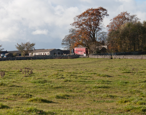
Then walk in the direction of Calling Low Farm. Before reaching the corner of the field pictured, turn right towards a kissing gate in the stone wall. Follow the path through a kissing gate in the stone wall on the left. Walk ahead through a series of gates and through another small area of woodland. Leave the plantation through another wooden kissing gate.
|
|
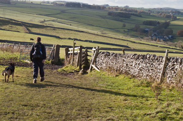
The path now leads through open fields, providing great views over Cales Dale (ahead) and then Lathkill Dale (to the right).
Go through a kissing gate set in a stone wall with a sign saying that you are entering the Lathkill Dale Nature Reserve. Steep stone steps lead down into Cales Dale.
Climb over a wooden stile at the bottom and follow the sign pointing right to Lathkill Dale.
|
|
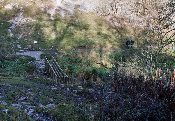
The path leads to a wooden footbridge across the River Lathkill. Turn right to follow the dale.
|
|
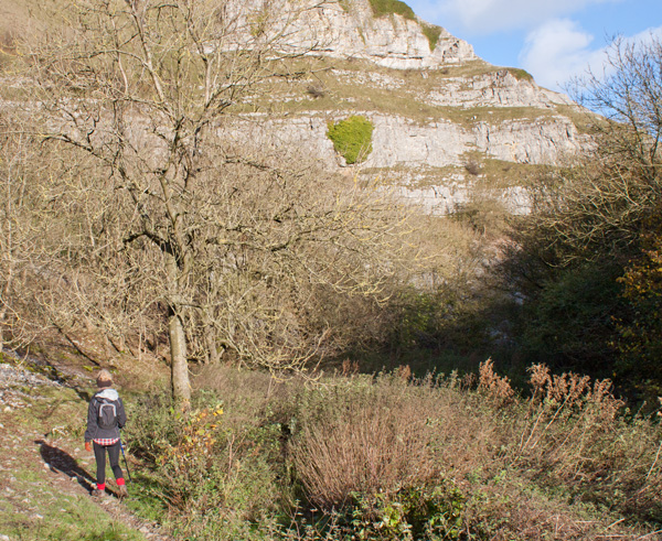
The path leads through the narrow limestone valley …
|
|
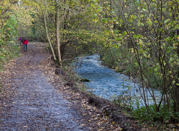
… close to the river. Look out for caves on the left. There are also the remains of mine buildings where the Mandale Valley joins the dale from the left.
|
|
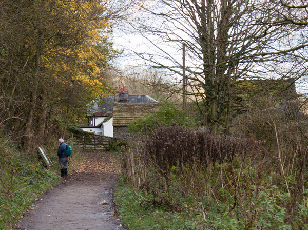
Turn left where the path meets the road from Over Haddon to walk back up the hill to the car park.
|


