| Maps:
|
Explorer OL4 - The English Lakes: North Western Area.
|
|
| Start: |
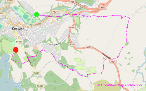
NY 271 238 - Keswick Leisure Centre Car Park (there is a limited amount of free, on-street parking on nearby Brunholme Road). |
| Finish: |
NY 265 229 - Lakeside Car Park. The start and finish are at the main long-stay car parks, Lakeside is the larger, but also the most popular. Both have similar charges. |
|
Route:
|
The walk out of Keswick starts along the Railway Footpath, but then it's along roads until the stunning Castlerigg Stone Circle is reached.
The return to Keswick is along footpaths, through fields and woods and finishes by the lake. Two car parks are suggested above:
one near to the start of the walk and the other at the end.
Rather than suggest a route through Keswick, I've left it to the reader to explore the streets of this attractive town for themselves.
|
|
Links to route files: |
Ordnance Survey OS Maps online
(may only available to OSMaps subscribers) or
.gpx (expored from OSMaps - for many handheld devices).
|
|
More info:
|
|
 | |
|
Refreshments: |
Lots of choice in Keswick - our favourite continues to be the quirky Square Orange.
There are two places to obtain refreshment on route: the Hungry Heiffer at
Keswick Climbing Wall (near Castlerigg Stone Circle) and
Annie's Pantry as you leave Spring Wood.
|
|
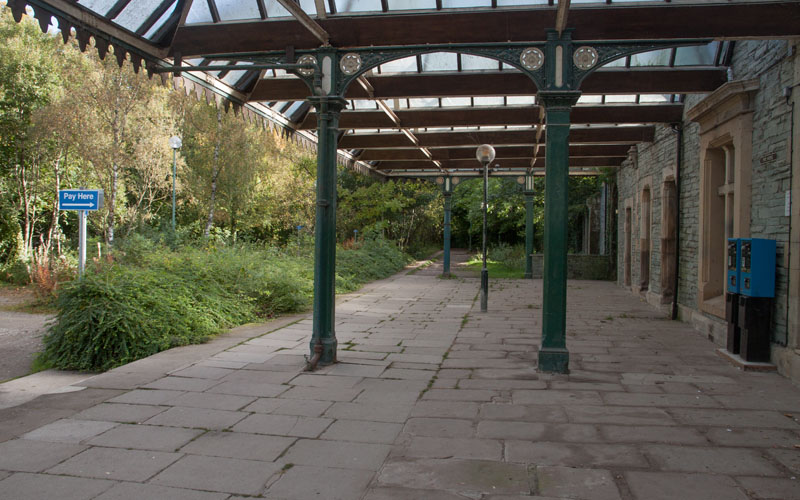
Walk along the former station platform to the far end and then down on to the former track bed, following signs for Threlkeld.
|
|
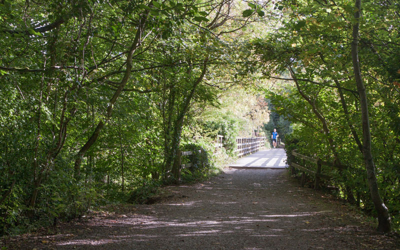
The railway path was badly damaged by the floods of 2015, with some of the bridges being washed away.
The one pictured stayed intact and carries you above the River Greta and Penrith Road.
|
|
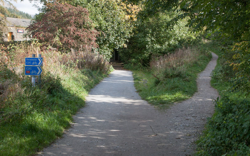
This is where we leave the track, following the narrower path to the right - I'm not sure how the path will be signed when the
flood damage has been repaired - the cycle path signs in the picture are temporary - with the route being diverted due to the missing bridges.
At the top of the path go through a wooden gate and turn right to walk along …
|
|
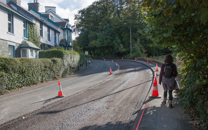
… Penrith Road. Normally a busy road - on the day we walked the route it was closed to traffic whilst being re-surfaced.
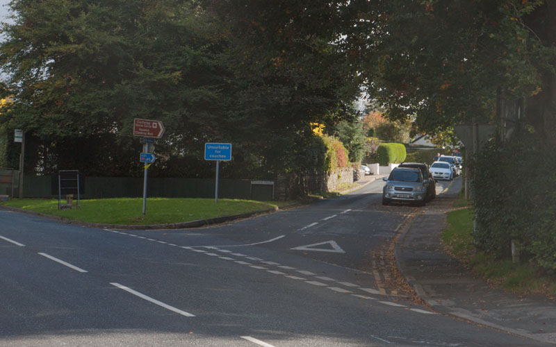
At the junction at the top of the hill, cross the road and turn left (still Penrith Road) following brown tourist sign for Castlerigg Stone Circle.
|
|
About 50 metres from the junction turn right into Eleventrees - it's again signposted to the stone circle. Follow this road for …
|
|
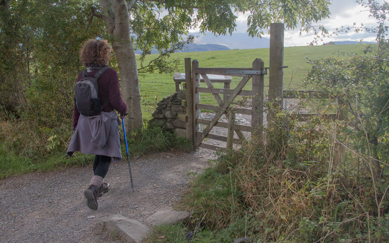
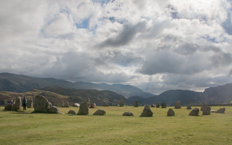
… about 2/3 mile (just over 1Km) and you will arrive at the first of 3 gates into the field …
|
|
… which is the home to Castlerigg Stone Circle.
|
|
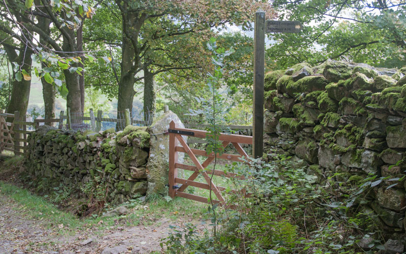
After exploring the ancient monument, leave the field by the easternmost of the three gates, and turn right back into Eleventrees.
Continue walking east along the lane for about 170 metres until you come to the gate and sign pictured (the sign reads, High Nest A591).
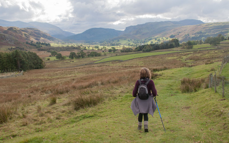
Go through the gate and follow the path …
|
|
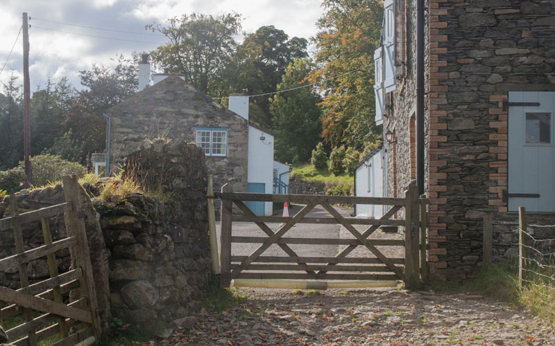
… which provides impressive views. The path leads through 3 gates before …
|
|
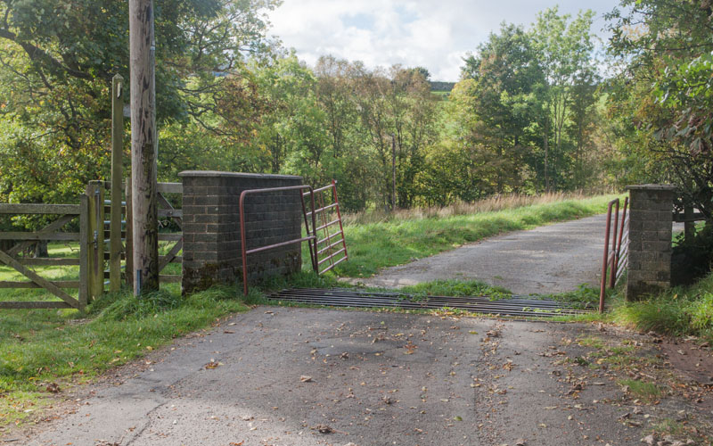
… passing through the gate pictured at High Nest. Follow the farm road between buildings …
|
|
… bearing right to cross the cattle grid, following the signpost for, A591 Keswick. When you meet the road, turn right.
|
|
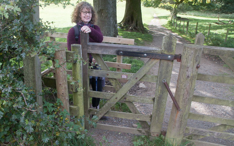
After about 100 metres you go through this kissing gate on the left (signed for Walla Crag and Keswick).
|
|
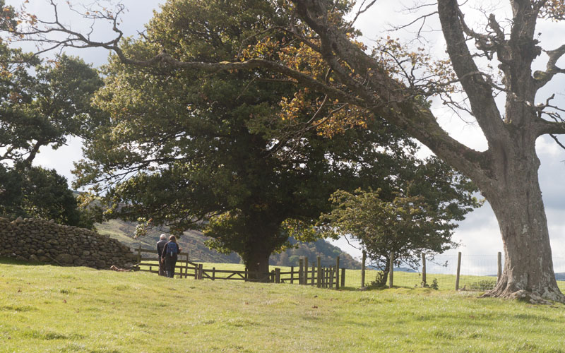
Walk along the right hand side of the fields, passing through gates. After passing through a kissing gate on the right, the path turns west …
|
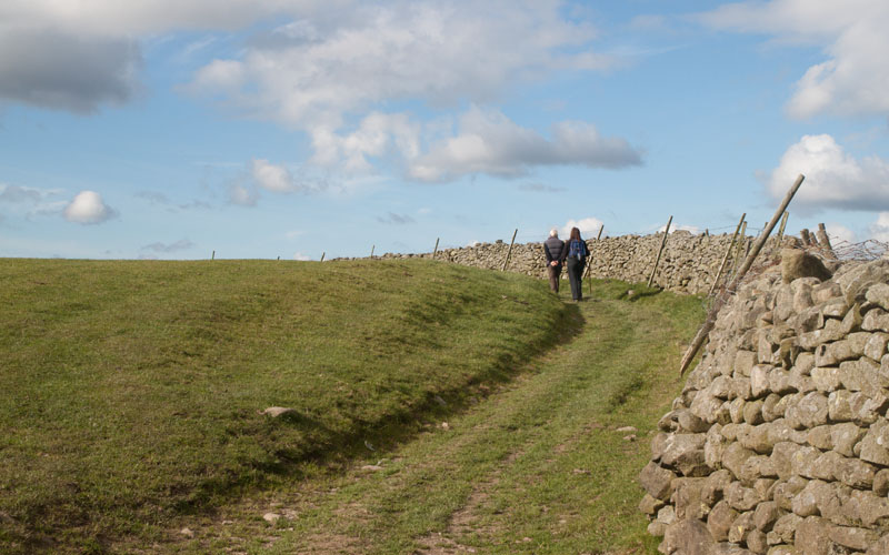
|
… following a stone wall. There is one wide, wooden gate to pass through, along with another field, before a narrow gate leads onto Rakefoot Lane. Turn left …
|
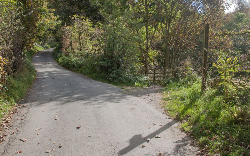
|
Follow the lane for only about 30 metres and then turn onto the path on the right. There's a very indistinct sign: Keswick, Great Wood.
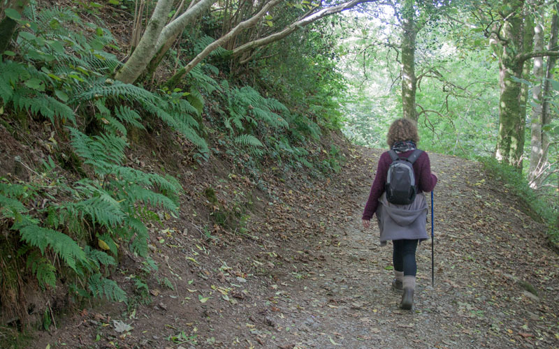
Go through a gate and cross a wooden bridge. After the bridge the path turns to the right …
|
|
… leading through woodland.
|
|
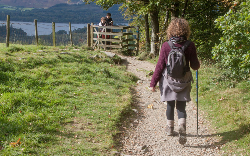
The path leaves the woods, but you walk alongside the woodland, through a kissing gate and past a transmitter mast.
|
|
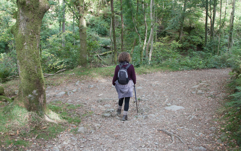
About 140 metres after passing the transmitter, the path turns sharp right to re-enter woodland. Turn left at the junction of paths ahead.
|
|
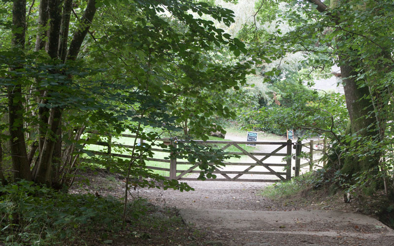
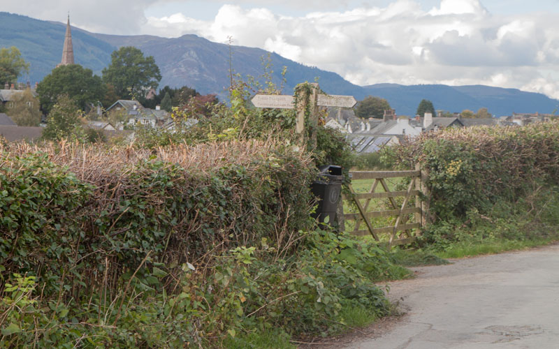
After walking down the wooded track for about 250 metres, leave the woods via the gate pictured. Pass Annie's Pantry
(or pause for refreshment) and continue ahead onto Springs Road.
|
|
Look out for the gate and sign on the left (the sign reads, Castlehead and Lake Road). A short, narrow path leads …
|
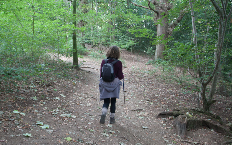
|
… through a kissing gate into Castlehead Wood. At the first junction of paths continue ahead …
|
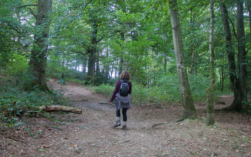
|
... then at the next junction bear left. At the next junction (just after the path passes close to a post and wire fence on the right)
bear right (optionally take the path on the left to ascend to the top of the hill for great views over Derwentwater -
after admiring the view retrace your steps). Follow the path downhill to the west …
|
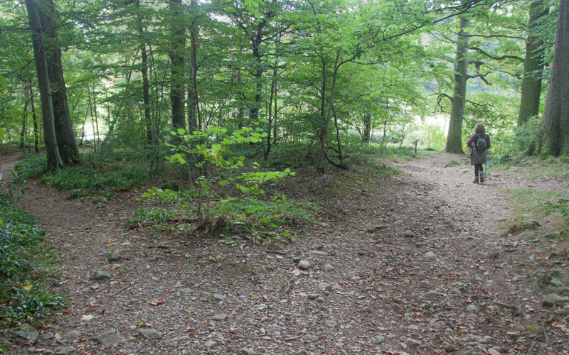
|
… bearing right just before leaving the woods. Cross Borrowdale Road and …
|
|
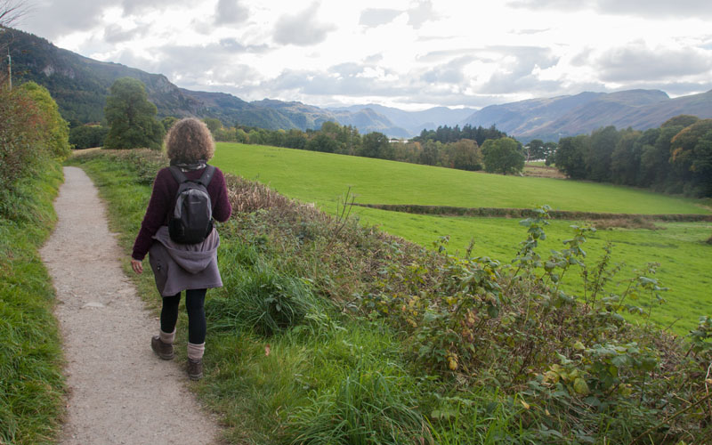
… turn left onto the path which runs alongside the west of the road. Descend steps on the right and walk along the path towards
Cockshot Wood (singposted To the Lake).
|
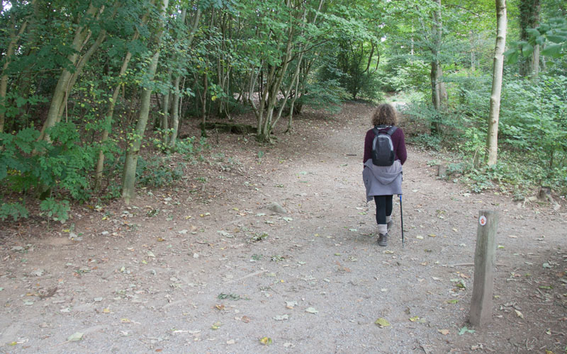
|
Take the path directly ahead through the wood. This emerges by the …
|
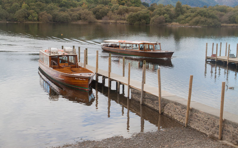
|
… lake. Turn right and follow the road past The Theatre by the Lake …
|
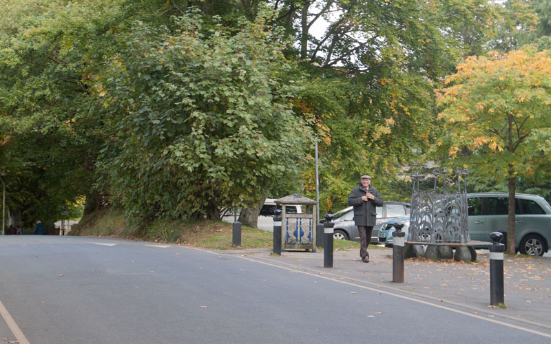
|
… to Lakeside Car Park. If you have parked near the start of the walk, wander through Keswick's interesting streets,
following signs for the Leisure Centre. On your way there are numerous places to eat or drink.
|
All text and images ©Graham Dean, October, 2016.


