|
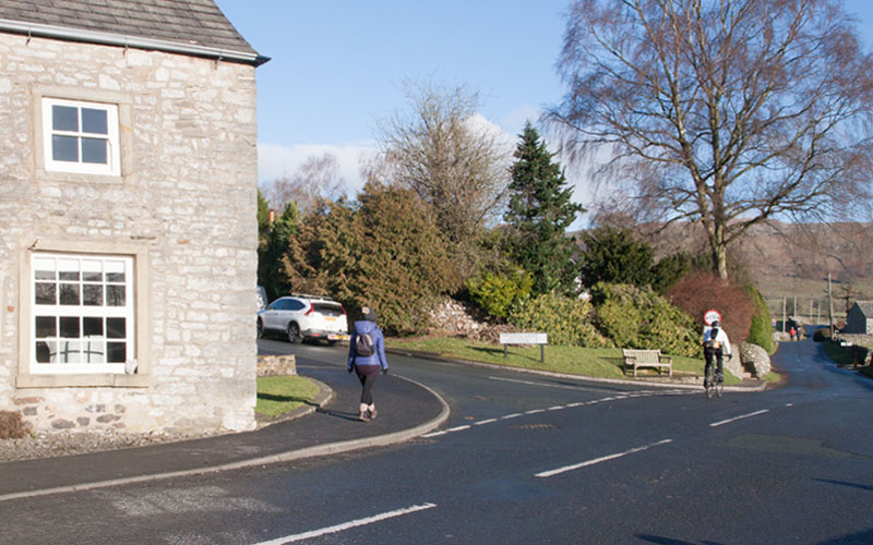
From the cross at the junction of Clapham Road, Graystonber Lane and Main Street, follow Main Street, passing (or stopping for refreshment) at The Game Cock on your left.
Continue past the school and then take the first road on the left (Townhead Lane).
|
|
|
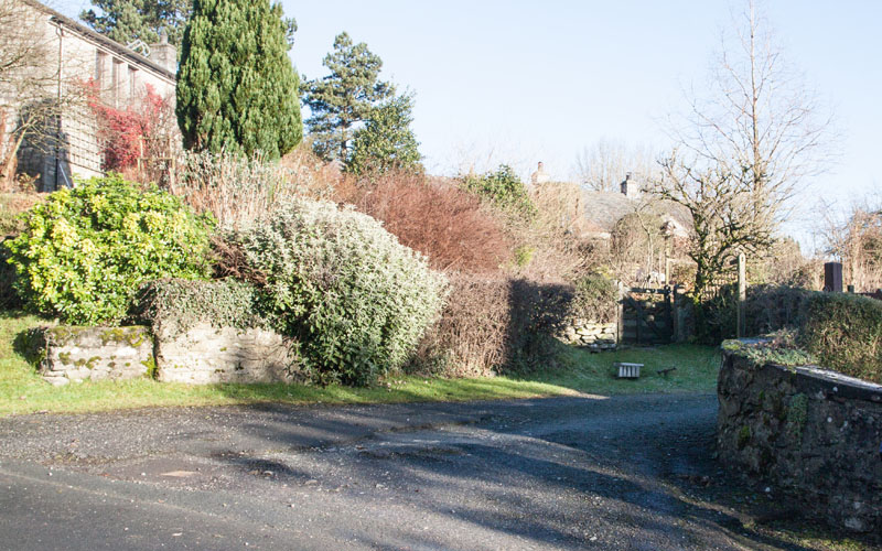
Walk up Townhead Lane for about 250 metres then turn right into the driveway pictured. A wooden finger post directs you through a
gate and along a garden path. Climb steps and …
|
|
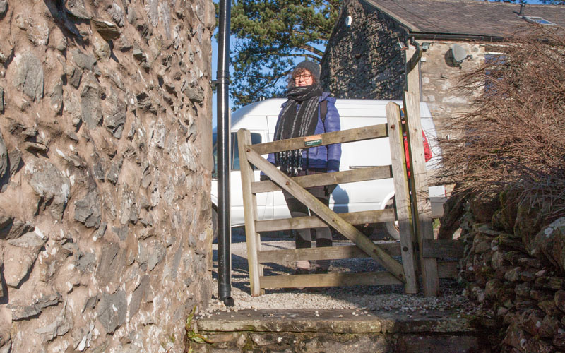
… leave the garden by another gate. Walk straight ahead (or round any parked vehicles) and past the gable of a cottage to a stone stile.
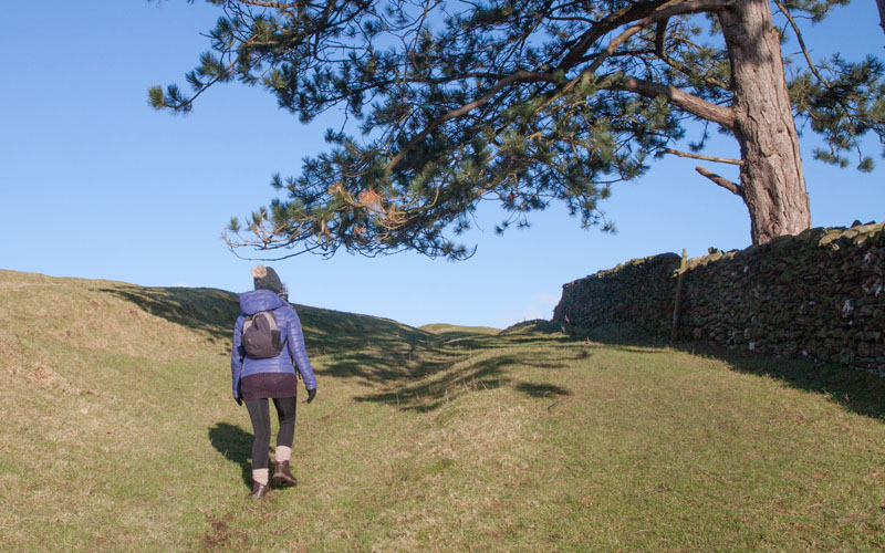
Cross the stile to enter …
|
|
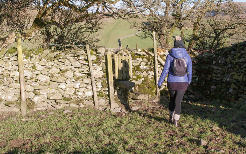
… the field pictured. The path runs close to the wall on the right and leads to …
|
|
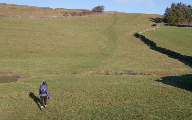
… a gated stile. Climb the stile, cross a narrow lane and then climb a similar stile. Continue along the path to a wooden ladder stile and down to …
|
|
… cross Norber Sike by means of a small wooden bridge. Walk up to a ladder stile which takes you back to Crummack Lane.
|
|
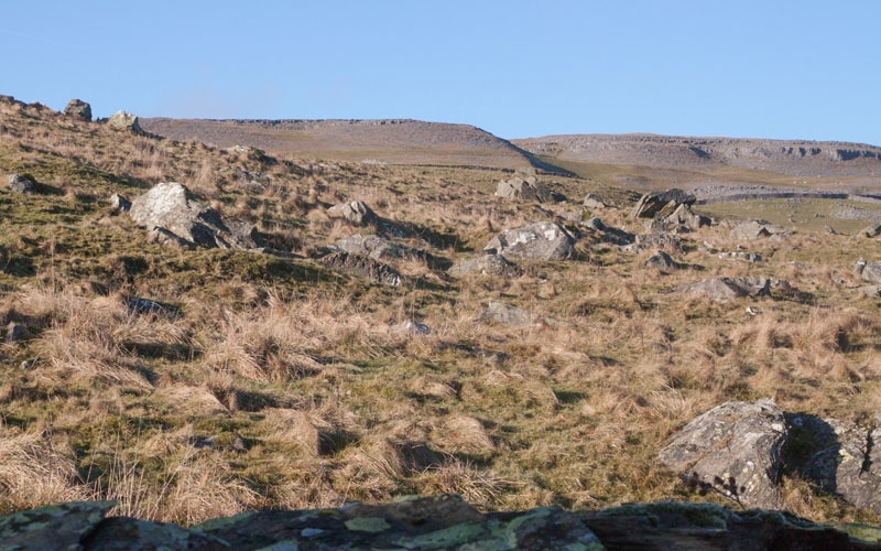
Turn right to continue up the Lane - notice the large number of stones deposited in the fields to the left of the Lane - these are the Norber erratics,
left by glaciers following the last ice age.
|
|
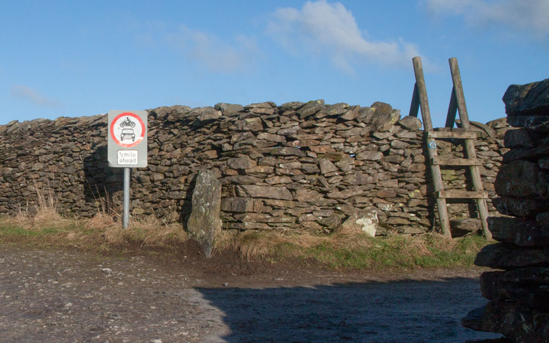
At the junction with White Stone Lane on the right, continue ahead, following Crummack Lane -
you can see the ladder stile which you will climb from the other side on the return route.
|
|
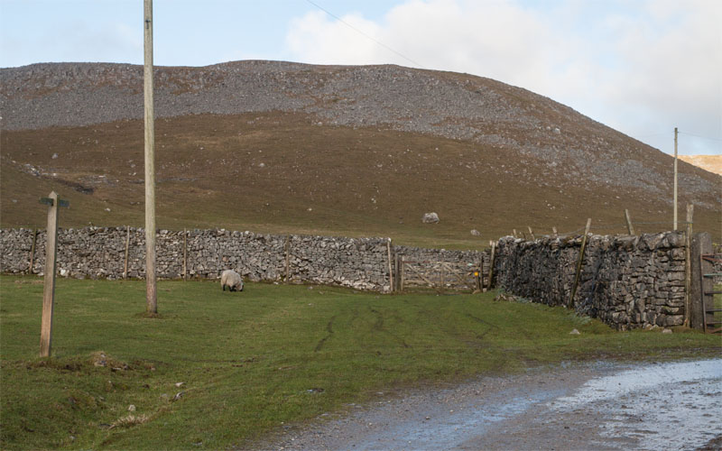
Where the Crummack Lane turns to the right to Crummack Farm walk straight on along the grassy path - the finger post just says Public Bridleway).
Walk through one gateway (pictured) and then through a second (propped open when we walked) to a junction of paths …
|
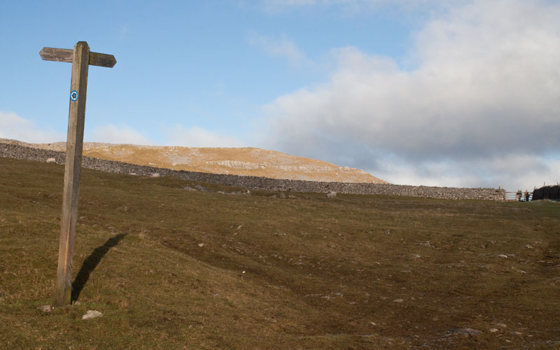
|
… marked by a more helpful finger post - continue ahead following Public Footpath (Horton 5¼ miles).
Climb the stone stile next to the gate which can be seen in the photograph.
|
|
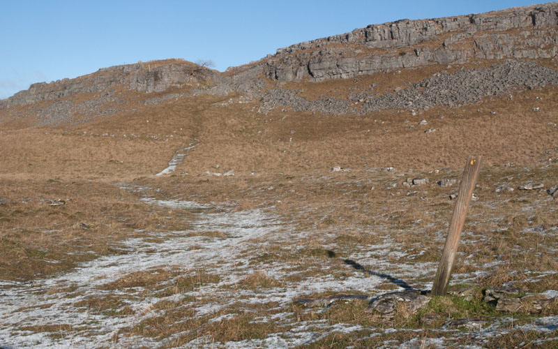
The path continues ahead (marked with the lone marker post pictured) towards an obvious gap in the limestone scar.
The stile in the gap is marked on the OS map as Beggar's Stile …
|
|
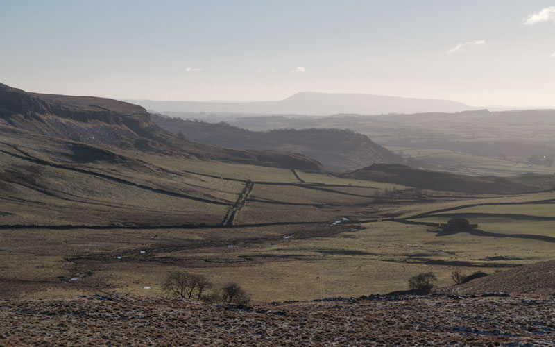
.... and this is the view looking back from the top of the stile, showing Pendle Hill in the far distance.
|
|
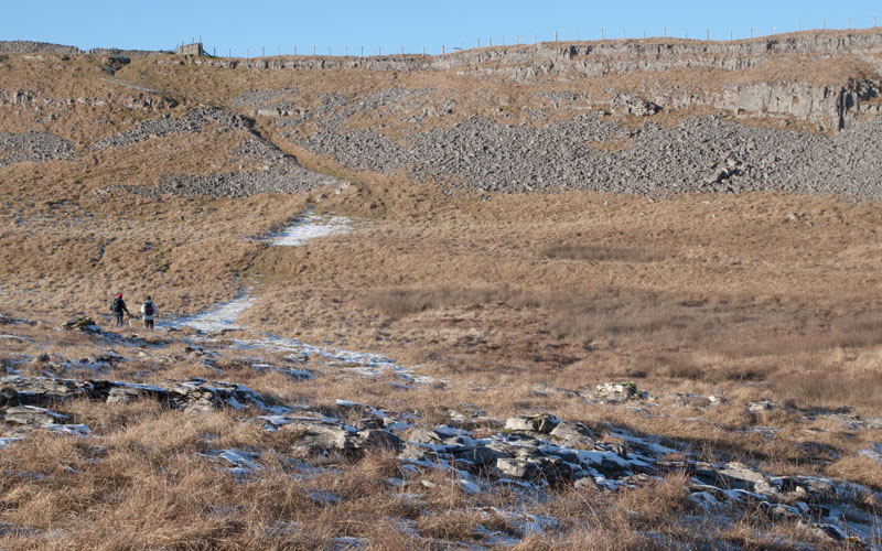
The path winds through an area of limestone pavement towards another scar (and the area marked on OS maps as Thieves Moss).
|
|
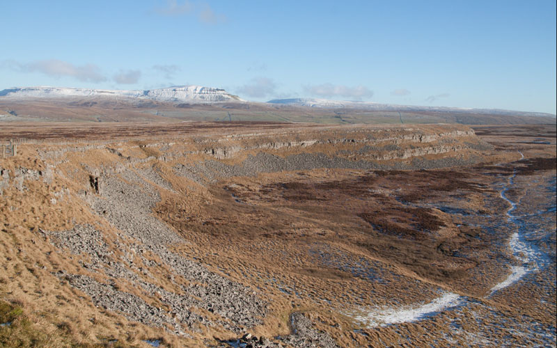
A clear path leads diagonally up the scar - this is the view looking east from the top. Go through a narrow wooden gate set in a stone wall.
Almost immediately turn right to pass through a wide wooden gate
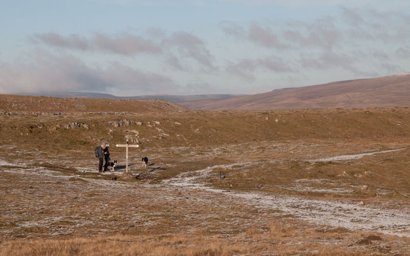
(or climb the adjacent ladder stile). Walk north east, following the path …
|
|
... to a junction marked by the finger post pictured. Turn right, following the direction indicated towards Horton-In-Ribblesdale.
|
|
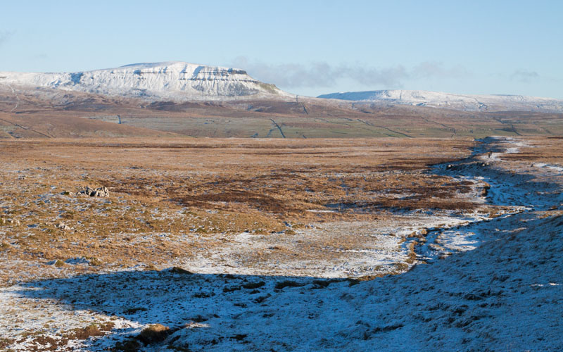
Follow the path along Sulber Nick (there appear to be two parallel paths, one at the foot of the low cliff and
one along the top- we walked along the top) …
|
|
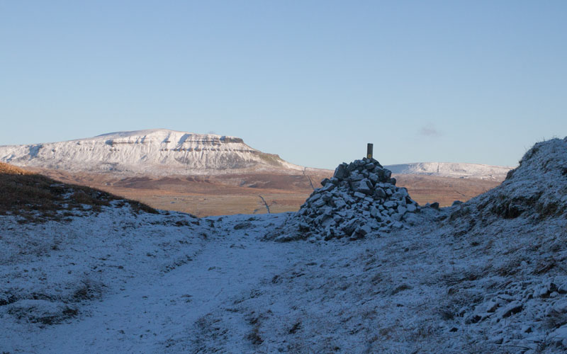
… for about 2/3rds mile, until we came to this large cairn set in a dip. We walked down to the cairn and then down to a gate set in a stone wall.
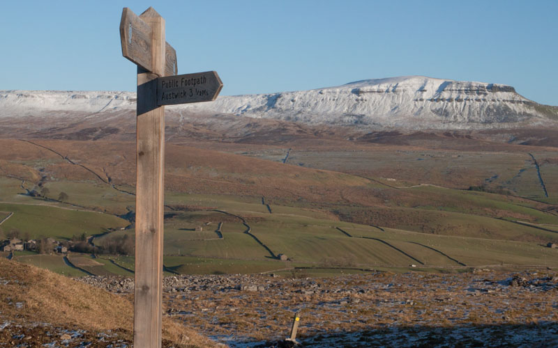
Continue walking in the same direction until you come to a junction of paths …
|
|
… marked by this finger post. Turn sharp right, towards Austwick 3½ Miles.
|
|
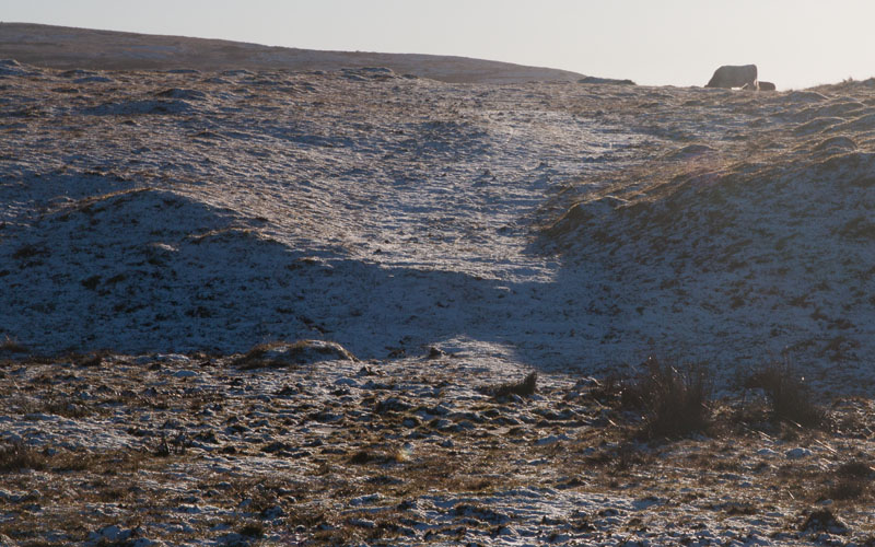
The path leads back uphill …
|
|
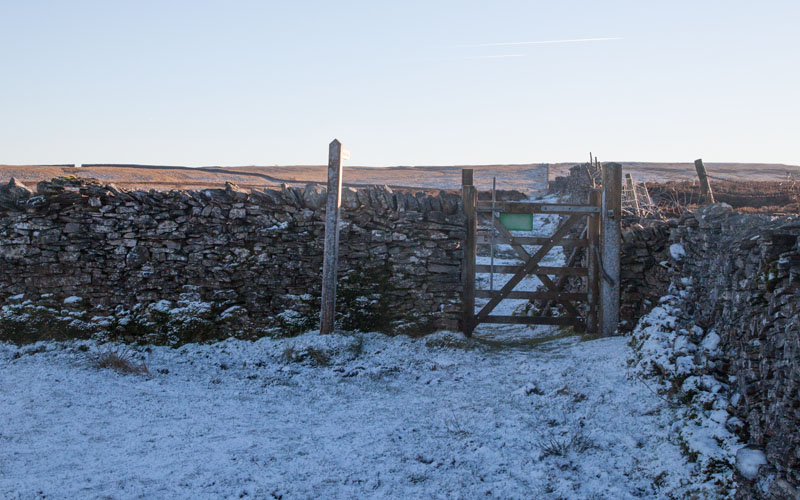
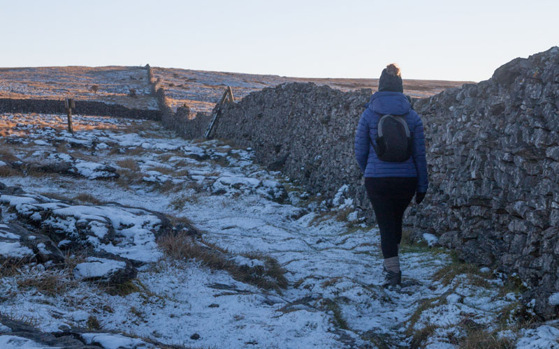
… to this gate and finger post saying that Austwick is now 3 miles away (though it's only a quarter of a mile from the previous sign). Go through the gate …
|
|
… to follow the stone wall until you reach a ladder stile on the right. After crossing the stile …
|
|
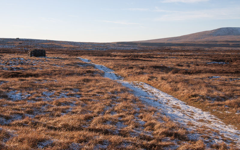
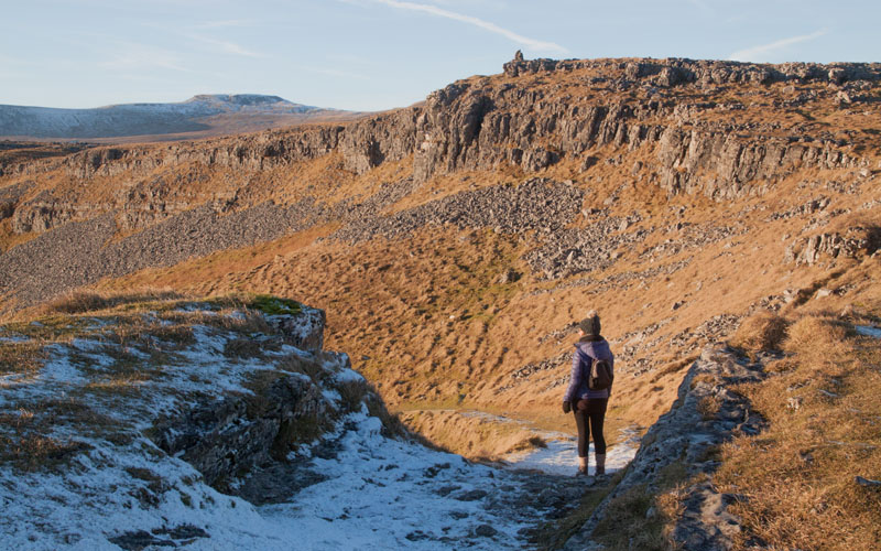
… main road (A592).… the path winds between shooting butts …
|
|
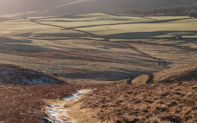
… before turning right to drop down through Moughton Scar.
|
|
The route is now along a clear track - pass through a wide wooden gate, then look out for a ladder stile on the right
(the track bend to the left at this point).
Climb the stile and walk down to cross Austwick Beck by means of a wooden footbridge.
|
|
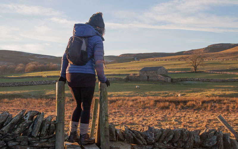
The route stays close to the wall on the right, until you climb over the ladder stile pictured. The path then continues downhill in the same direction,
with the wall on your left. Crossing over a stone stile leads …
|
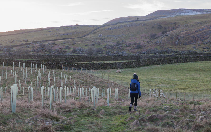
|
… into an area that was recently planted with saplings. Cross a wooden plank bridge, a ladder stile and another stone stile (careful on the latter,
one of the stones on the far side was broken) before reaching …
|
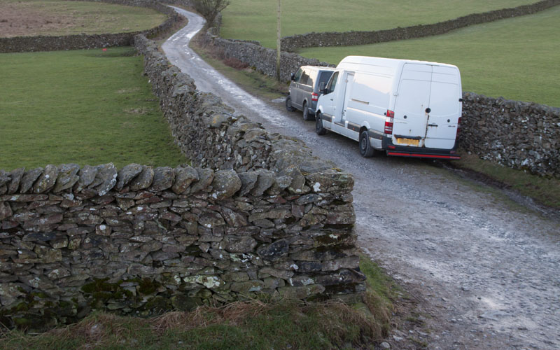
|
… the ladder stile which leads you back onto Crummack Lane (the photograph was taken from the top of the stile - Crummack Lane is the one with the vehicles parked).
From here retrace your original route back to Austwick.
|
All text and images ©Graham Dean, January, 2018.


