|
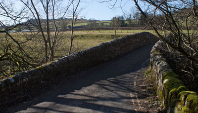
Turn left out of the car park entrance and then right on to the road. After less than 200 yards turn left to follow
narrow road (unsuitable for caravans) over railway bridge and down to the packhorse bridge pictured. Cross the bridge
and follow the road up...
|
|
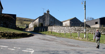
| ...to Little Stainforth. Walk straight ahead at cross roads.
|
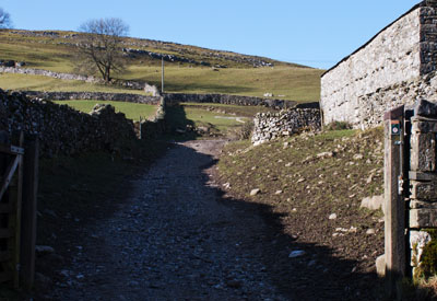
| After passing farm buildings on the right, go through gateway and follow
stone track ahead. The track leads to a wooden gate – look for the gated stile a few yards to the left of the gate.
Cross the stile and continue to follow the track uphill. Do turn to admire the view of Pen-y-Ghent and also notice the
evidence of medieval strip farming on the slopes north of Stainforth.
|

| The track fades - but continue to walk ahead in the same direction, heading for the dip on the horizon. To the right of the dip
there's a limestone outcrop with a lone tree. You also pass a large shakehole on your right. Ahead there is a stone wall -
climb the ladder stile to the right of an aluminum gate (the original stone stile can still be used - this is the
first of a number of walls on the walk where the original stile can be seen next to a more modern version).
|
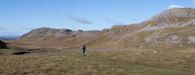
| The route now takes you down the centre of a classic dry valley, with the trig point above Smearsett Scar clearly visible
on the right.
|
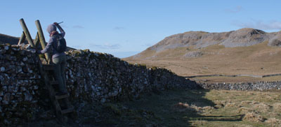
| Climb the ladder stile on left, just before the far left corner of the field. Follow the clear path downhill, in the direction indicated
by a wooden signpost.
|
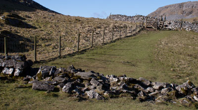
| The path leads slightly uphill, crossing the remains of a stone wall. Follow the fence on left for a few yards and then
cross the ladder stile (again there is the original stone stile in the wall - but this can no longer be used as the wall
is topped with a wire fence).
|
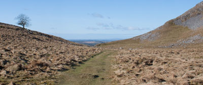
| After crossing the stile, the path remains easy to follow...
|
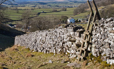
| ... and leads to yet another ladder stile in the wall on the right. By now you can see some of the buildings at Feizor.
Once across the stile, turn to the left to follow the path close to the wall.
|
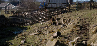
| The last part of this path becomes a stone-strewn track and leads to a wooden fence. Go though the metal gate in the fence
and then walk between farm buildings...
|
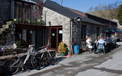
| ... to emerge onto the road outside Elaine's Tea Room (we enjoyed a
cup of tea sat out in the sun before we continued). Turn left to walk a short distance along the road.
|
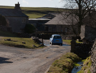
| Turn left up the track immediately before the ford. The fingerpost reads, "Bridleway Scar Top 1 1/3, FP Stackhouse 1."
My map shows that Stackhouse (the direction in which we are walking) is further from here that Scar Top! Not only that, my mapping
software says that it's nearly 2 miles between Feizor and Stackhouse!
|
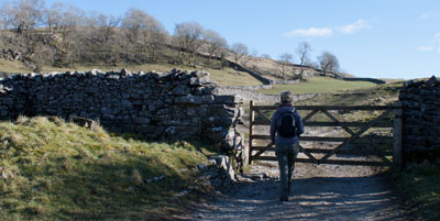
| Pass through the wooden gate and continue ahead in the same direction, staying closer to the wall on left than the
one on the right.
|
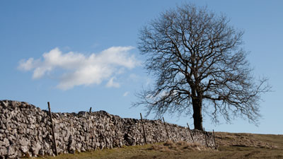
| At the end of the wall on left (pictured above) carry on walking ahead in the same direction. Just over the brow of the slope you will see
the fingerpost which marks the divergence of the footpath and bridleway. This one has more accurate distances! Follow
the direction of the path to Stackhouse.
|
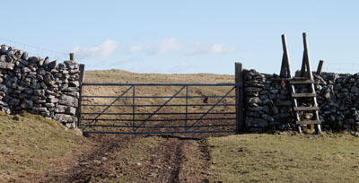
| Climb the ladder stile to the right of a metal gate. Note the view of Pendle Hill to the right.
|
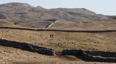
| There's a gentle downhill walk to the gate at the far right corner of this field. The next gate to pass through is
wooden. Here we diverged from the footpath marked on the OS map - we followed a clearer path leading to a gap between areas of
limestone.
|
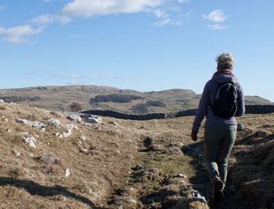
| This path lead us to another wooden gate. Once through the gate there is an area of limestone pavement with a single tree on the left
(this is pictured on the cover).
|
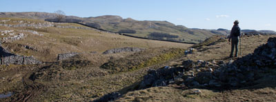
| Continue ahead until a stone wall blocks the way. Turn left to follow the wall downhill. Go through gap in wall, just before
the slope becomes steeper.
|
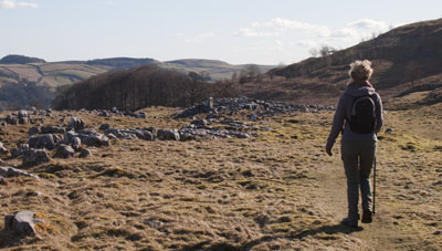
| Once through the gap the clear path leads past more limestone outcrops before bearing left...
|
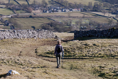
| ...to a gap in the wall at the far left corner of the field. Go through the gap and cross the field heading for...
|
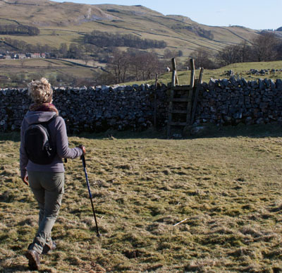
| ... yet another ladder stile. Once across this stile there is no clear path on the ground, but bear slightly left, walking
down to join another path by a finger post. Turn right, signposted to Stackhouse Lane.
|
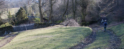
| This is quite a wide track which leads to a metal gate. Go through the gate and turn left onto road. Follow
the road until you come to a sign on the right indicating, "Ribble Way, Stainforth 1¼." Follow this track
through a gate and down to the river.
|
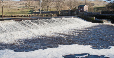
| The path meets the river opposite the weir and fish ladder at Langcliffe. Turn left through a narrow wooden gate.
|
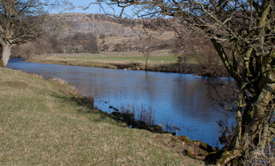
| The path continues along close to the river. When we last walked along this section of path there was a working paper mill
on the opposite bank. On this occasion the mill was partially demolished. Cross a narrow stream emerging from a spring
below limestone outcrop on left.
|
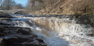
| After about a mile you reach Stainforth Force - the only waterfall of any note on the Ribble. At the stages of a river where
waterfalls are most common, the tributary streams of the Ribble flow underground - so waterfalls occur where the streams
flow into potholes.
After passing the waterfall, turn right to re-cross the packhorse bridge and re-trace your steps to return to the car park
at Stainforth.
|


