| Maps:
|
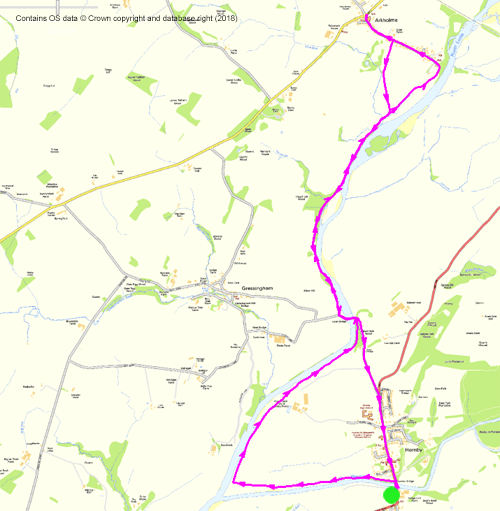
Unfortunately the walk is split across 2 maps:
OL2 - Yorkshire Dales: Southern and Western area and
OL41 Forest of Bowland and Ribblesdale
|
|
| Start: |
SD 585 684 - Car park by River Wenning, off Hornby Main Street. There is an honesty box for the modest charge. |
|
Route:
|
most of the route follows the waymarked Lune Valley Ramble, and is fairly easy to follow. However there are sections across fields
where the path cannot be seen on the ground.
There are also riverside sections where the path is badly eroded.
|
|
Links to route files: |
Ordnance Survey OS Maps online
(may only available to OSMaps subscribers) or
.gpx (exported from OS Maps app on Android device - can be imported into many devices).
|
|
More info:
|
|
 | |
|
Refreshments: |
- Hornby Tea Rooms - Facebook page
- The Bay Horse, Arkholme - on the day of our walk the pub had just changed
hands. When we arrived, we saw lights on, so sat to remove our boots. The new owner saw us, came out and said they were closed,
but we were welcome to come in for a hot drink (for which he refused to take payment) - we'll certainly be back for a meal.
|
|
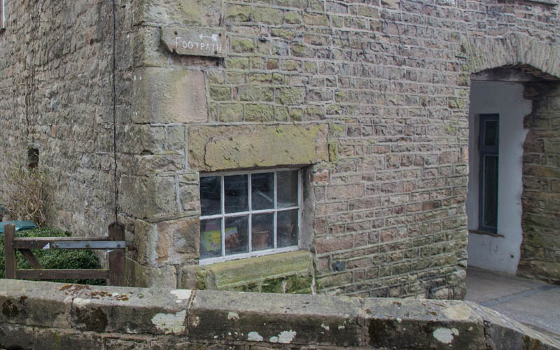
From the car park, walk back up to the main road and turn left to cross the bridge.
Once over the bridge, turn sharp left to follow a paved path by the River Wenning.
|
|
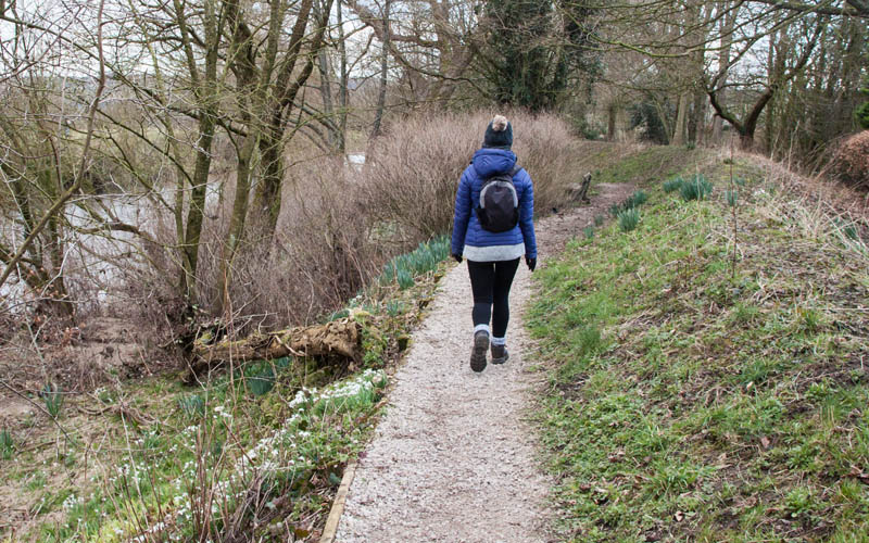
The paving stones give way to gravel
|
|
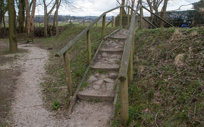
before climbing these steps over the flood banking. Follow the path to the left and cross a stone stile.
Walk alongside the wire and post fence by the river to pass through a metal kissing gate into the next field.
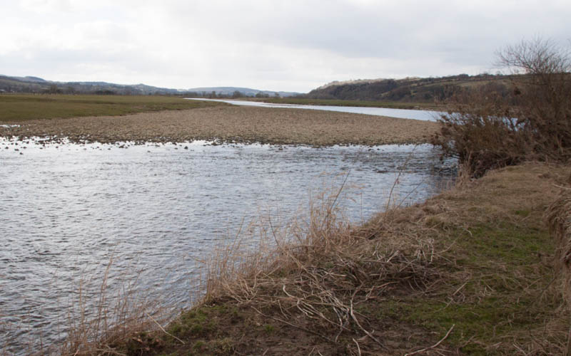
Continue walking along the edge of the field
|
|
to the confluence of the Wenning with the Lune.
|
|
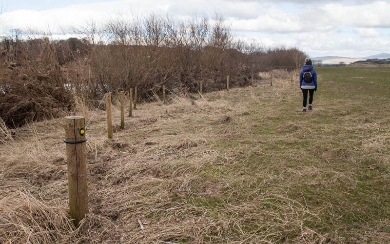
A marker post indicates where you turn sharp right. Continue walking alongside the fence separating you from the Lune.
The large field must at one time have been two - you pass the remains of a wooden stile, with no other evidence of a field boundary.
|
|
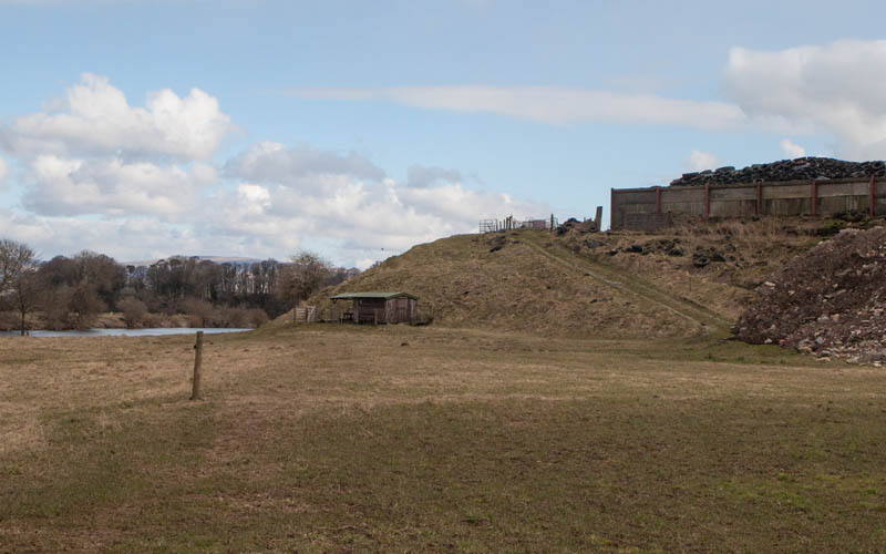
Ahead there are farm buildings on a higher area of land. Walk along the narrow gap between the raised area and the river.
|
|
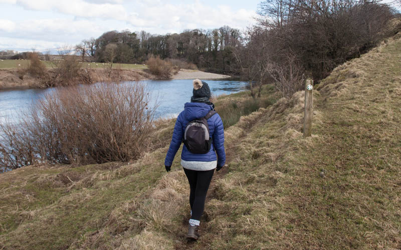
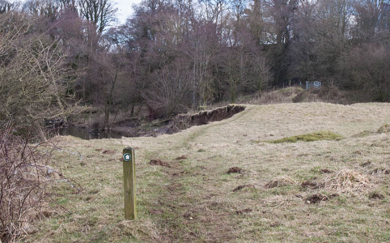
The path becomes more visible, but also more uneven. There are marker posts
|
|
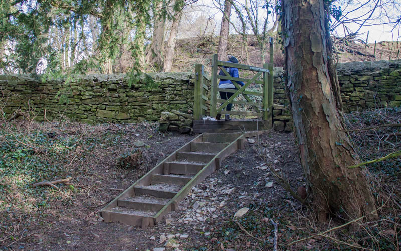
indicating the route. Parts of the path have been eroded just before it climbs to pass through a kissing gate
|
|
and a into wooded area. Steps lead up to a more level stretch of path, before more steps take you to a gate which opens onto the road.
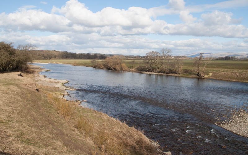
Turn left to follow the road
|
|
across the bridge. About 50 metres after crossing the bridge go through the gate on the right (indicated with a wooden finger post).
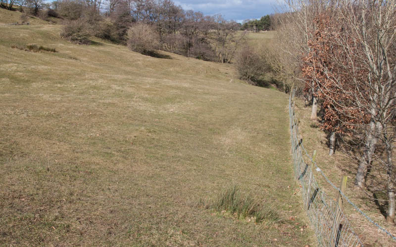
Follow the path by the river, crossing a wooden stile before
|
|
the path climbs slightly away from the river and crosses another stile.
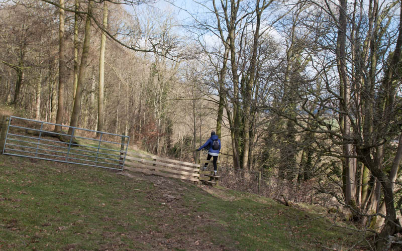
Turn right to walk alongside the fence pictured. Continue walking alongside the fence to
|
|
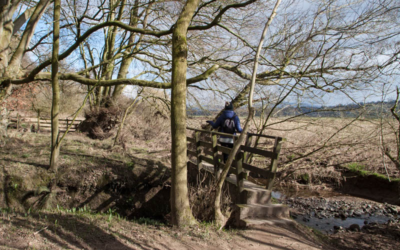
.... the next stile, leading into Thrush Gill Wood. Cross a small stream by means of a simple wooden bridge
|
|
A more substantial bridge takes you across the next stream.
|
|
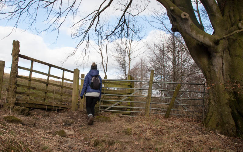
The path leads up to the gate pictured, then follows close to the river bank.
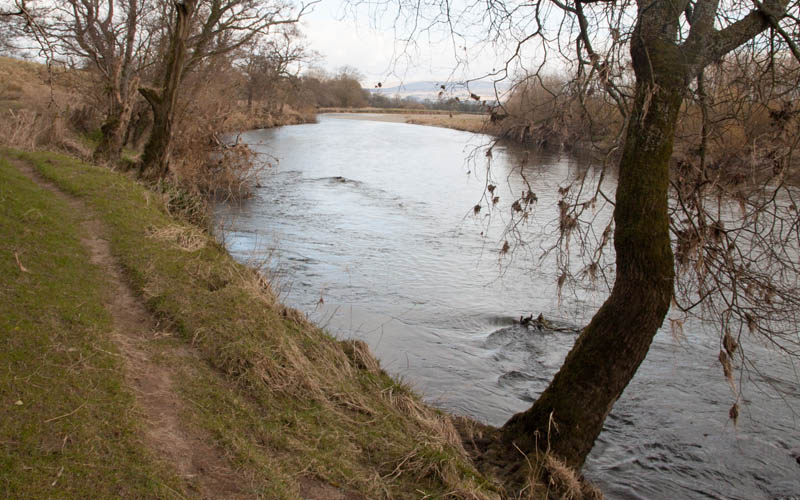
Where a marker post indicates a junction of paths, continue ahead . Cross over a wooden stile
|
|
... and continue to follow the path by the river. You pass through another gate before reaching
|
|
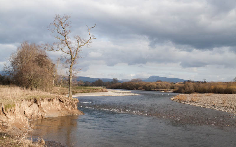
a heavily eroded section of the river bank (theres a great view of Ingleborough in the distance).
|
|
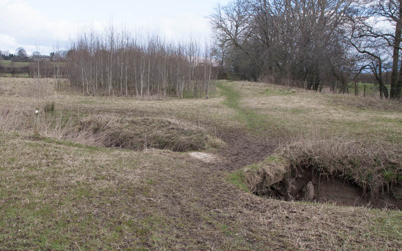
A simple bridge leads over a small stream. Follow the path to a wooden stile
(the bottom step was replaced by a large stone when we walked this route).
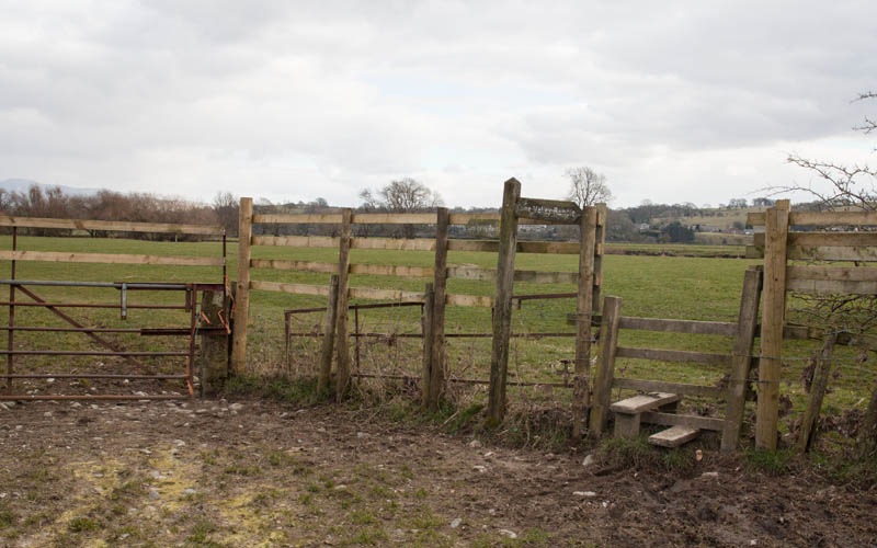
Continue along the right hand side of the field
|
|
to climb over this stile.
|
|
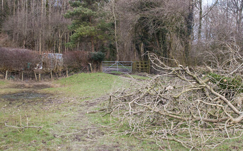
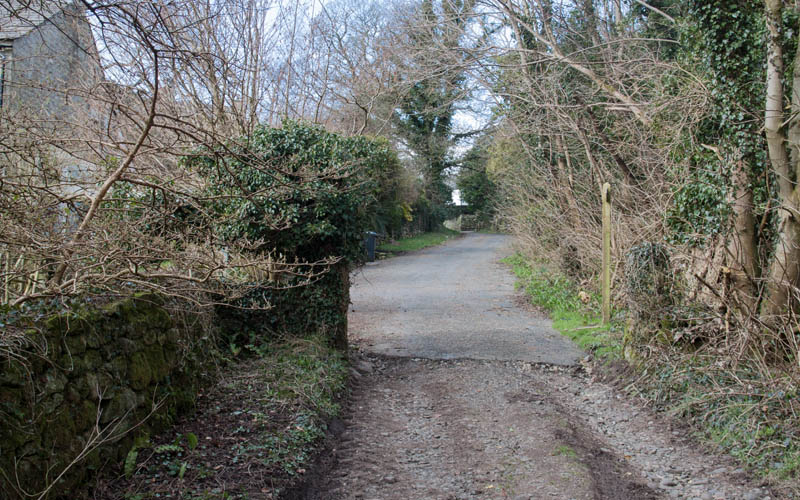
Follow the path through the field to the gateway pictured. Go through the kissing gate and
|
|
turn left to follow the track (which soon becomes a surfaced road) through the village.
|
|
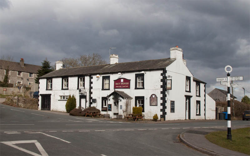
At the cross roads, we stopped at the pub for refreshment, before re-tracing our steps
|
|
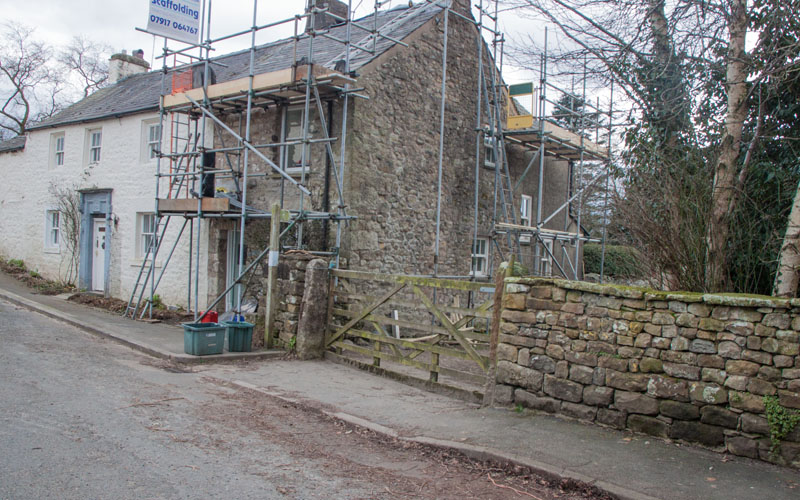
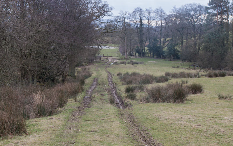
but not all the way to the river. We followed the footpath marker on the right
|
|
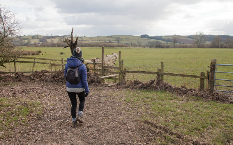
before turning right to drop down through Moughton Scar.
|
|
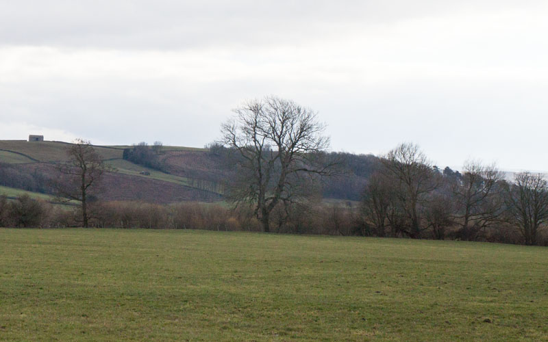
following this path, down to a stile
|
|
The path was unclear on the ground, but we headed to the far corner of the field
(to the right of the tallest tree). At the corner you re-join the outward path,
turning right to re-cross the stile which had a large stone to replace the bottom step.
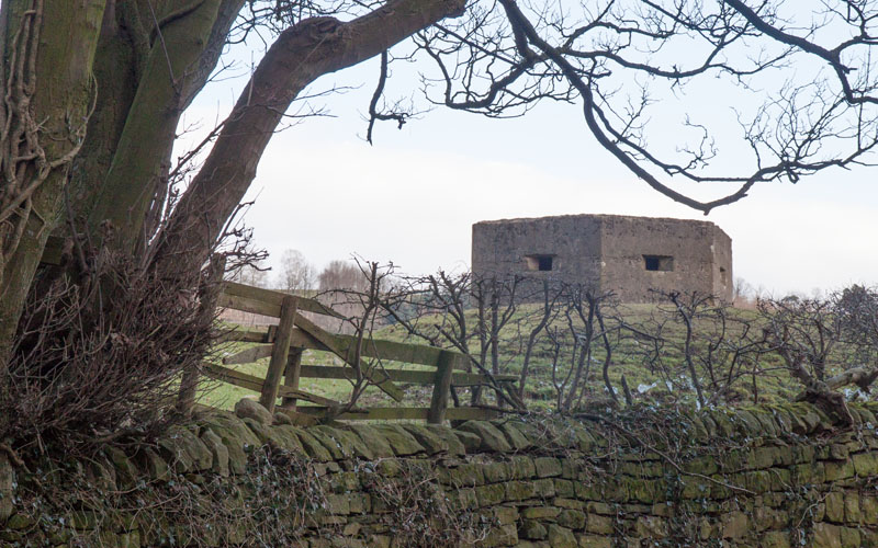
From here its just a matter of re-tracing the riverside path back to the bridge. After crossing the bridge
|
|
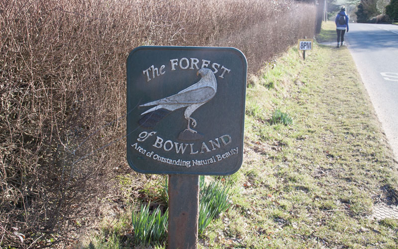
we continued along the road to Hornby (passing this pill box from WW2). Turn right at the road junction
|
|
to follow the road
|
|
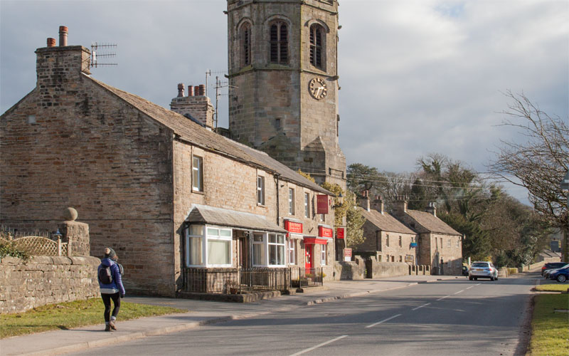
to Hornby. Cross the bridge over the River Wenning and return to the car park.
|
All text and images ©Graham Dean, April, 2018.


