- Bonaly - Wikipedia
- Pentland Hills - Pentland Hills Regional Park
- Castlelaw Hill Fort - Historic Scotland
- Flotterstone Information Centre - Pentland Hills Regional Park
This walk is available to download as an e book in Kindle format from Amazon - take the route description with you on your mobile device.
| Maps: | OS Explorer 344 - Pentland Hills. |
| |
| Start: | NT 212 676 - small car park at Bonaly (there is an overflow car park which is only open Saturdays & Sundays and is dependent on surface conditions). There is a larger car park at Flotterstone, which provides an alternative starting point. The route could also be split into two linear walks, using buses to reach Bonaly (Lothian service 10, about 3 buses per hour - bus terminus about half a mile from car park) and Flotterstone (less frequent Stagecoach bus services 101 and 102). | ||
| Route: | a circular walk, mostly across open moorland, but mainly following clear tracks and paths. The views over Edinburgh and the Forth are stunning. The Iron Age Hill Fort at Castlelaw and the earth house provide additional interest on the walk. There are public toilets part way round the route at Flotterstone Information Centre - and also a pub! The walk can be shorted by about a mile by missing out the leg to Flotterstone. | ||
| Links to route files: | Ordnance Survey OS Maps online (may only available to OSMaps subscribers) or .gpx (exported from OS Maps app on Android device - can be imported into many devices). | ||
| More info: |
|
||
| Refreshments: | Flotterstone Inn |
|
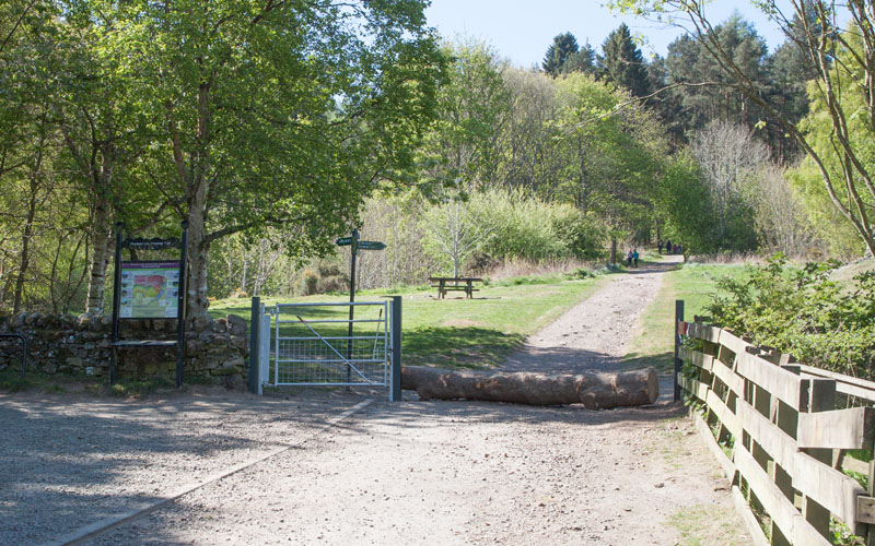
Leave the car park and walk straight ahead (the finger post points to Glencorse). The track is wide and clear (and fairly steep), taking you through a small plantation before leading through a gate onto the open hillside. Once through the gate, continue ahead, still following the sign for Glencorse. | |
|
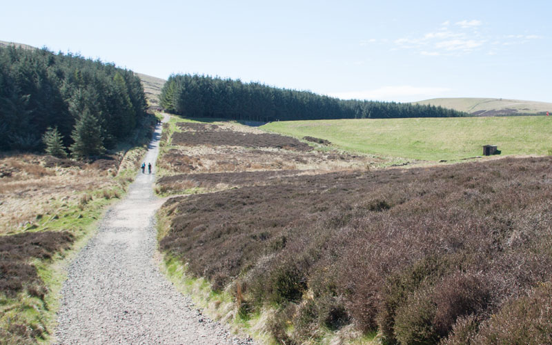
Following the fairly steep walk there is a very short stretch of downhill, with the dam at the foot of Bonaly reservoir on your right. The path climbs again to the far corner of the dam … | |
|
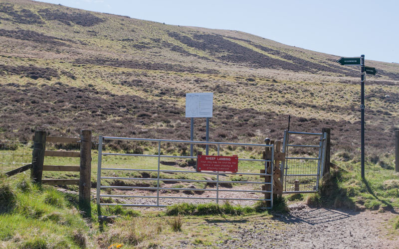
… and another gate leads out on to the open fell. Once through the gate turn left (signed for Allermuir). | |
|
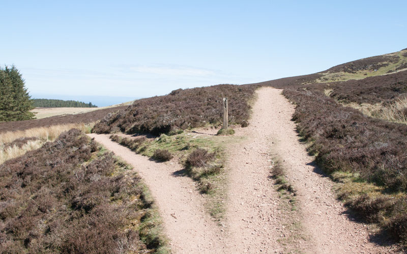
After just over 100 metres the path forks - take the right hand track. Although the path is still climbing, the ascent is more gentle than the path up to the reservoir. | |
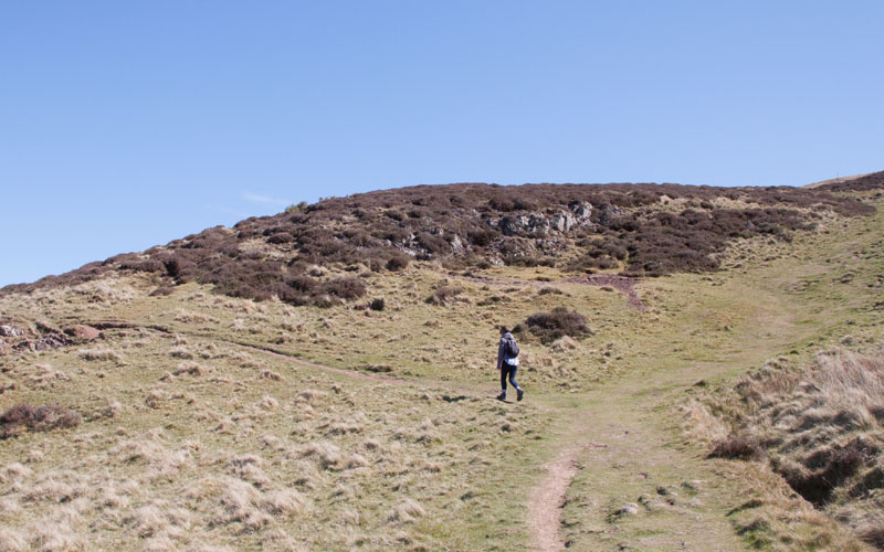
|
There are a number of paths which have probably been made by walkers taking (steeper) shortcuts. We tried to follow what we thought was the main route, so at the location pictured we took the clearer left fork. | |
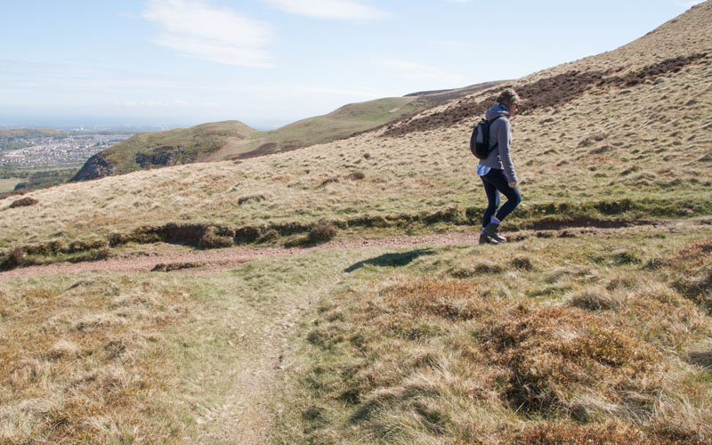
|
At a T junction in paths, we turned right, continuing uphill. It's worth pausing to admire the view to the left, with the whole of Edinburgh city centre in front of the dramatic Arthur's Seat and the Forth estuary beyond. | |
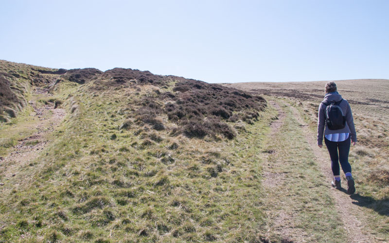
|
Further up the hill there was another fork in the paths - we took the right hand one, but both paths joined a little further up the hill. | |
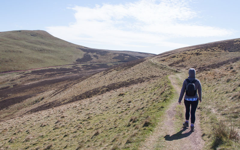
|
Still climbing gently, the path winds round Capelaw Hill, with Allermuir Hill to the left. | |
|
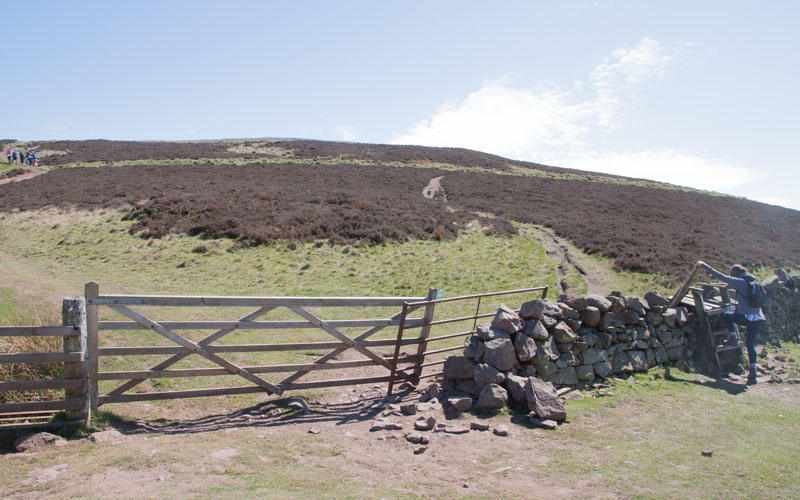
Climb the stile over a stone wall and bear right. After about 80 metres you meet a wide, stony track. Turn right on to this. | |
|
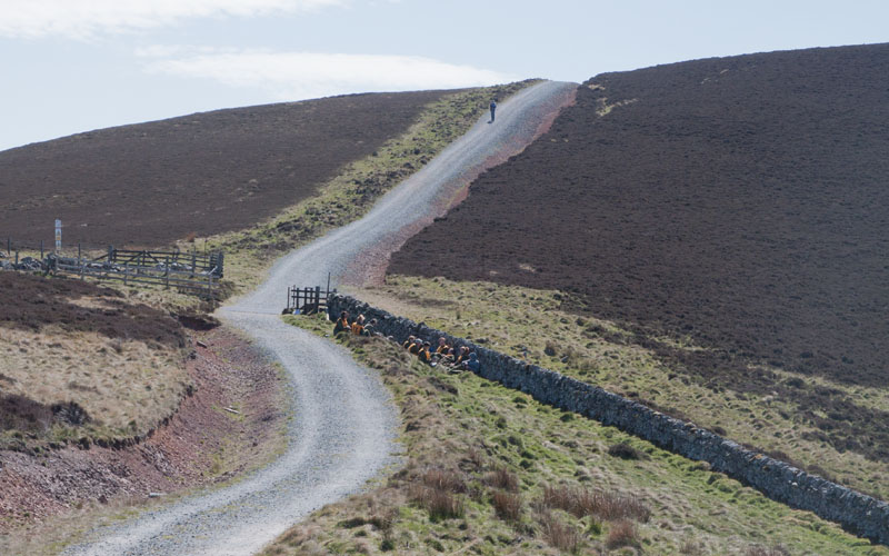
Follow the track to reach the highest point of the walk. | |
|
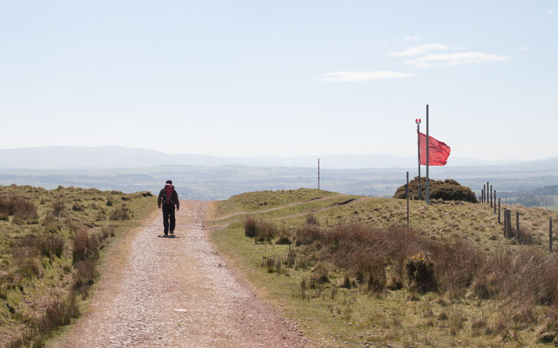
It's then downhill, with Castlelaw Firing Ranges to your right - the red flag signifies that firing is taking place. | |
|
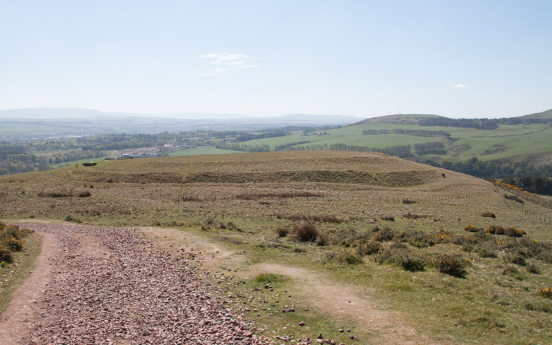
Below the firing range can be seen the concentric mounds and ditches of the iron age hill fort. The fort is surrounded by a wire fence - there was a gap which we went through to explore … | |
|
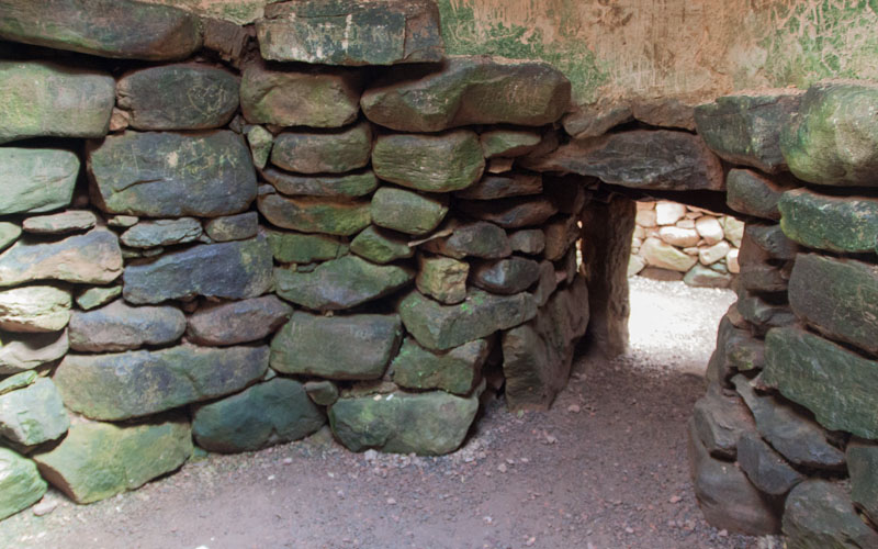
… and find the Earth House dating from the 2nd century AD. An interpretation board provides information, along with artist's impression of the original structure. After leaving the Earth House we found another interpretation board providing information about the fort. We left the fort through a kissing gate, to rejoin the downhill track … | |
|
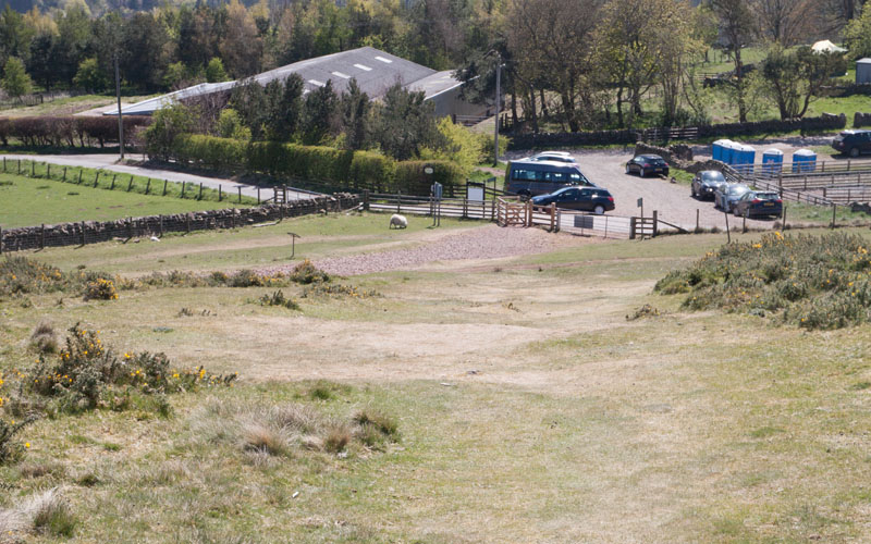
… where it ended at a gate through to a small car park. Walk through car park, bear left and then almost immediately turn right … | |
|
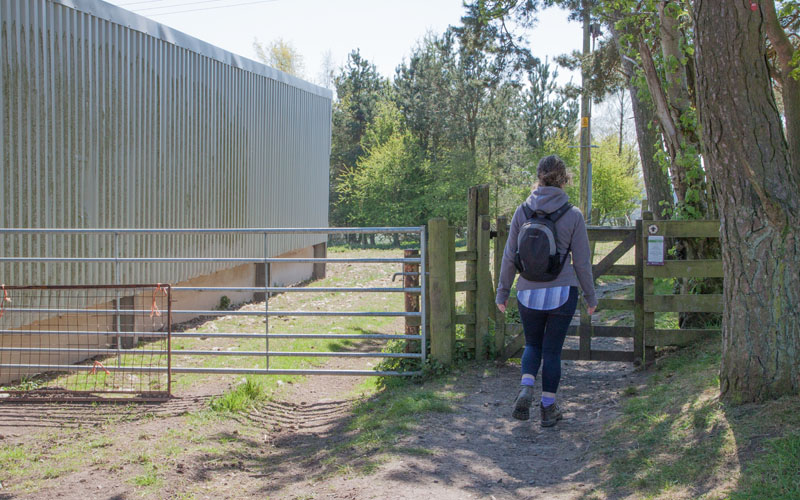
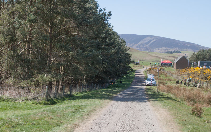
… to follow this path signposted to Glencorse Reservoir and Flotterstone. The path leads through a small wooded area. Leave the wooded area through a wooden kissing gate and continue straight ahead (following wooden sign by gate saying Glencorse). | |
|
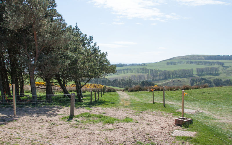
The track leads past a plantation on the left and the firing range on the right. | |
|
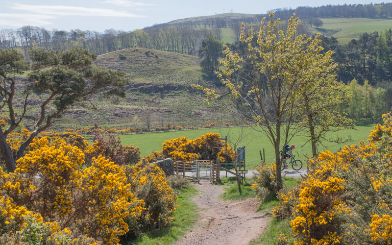
At the far end of the plantation turn left onto a narrow path (signposted for Flotterstone and Glencorse View Walk). This leads down … | |
|
… to meet the main track from Flotterstone to Glencorse. If you wish to shorten the walk, you can turn right and walk directly to Glencorse - but we turned left here to visit Floterstone Information Centre and (more importantly, the Inn). | |
|
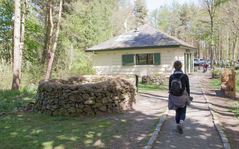
Here Lin is passing a sheep stall - the interpretation board explains the origin and use of these. Continue through the car park to visit the Inn.
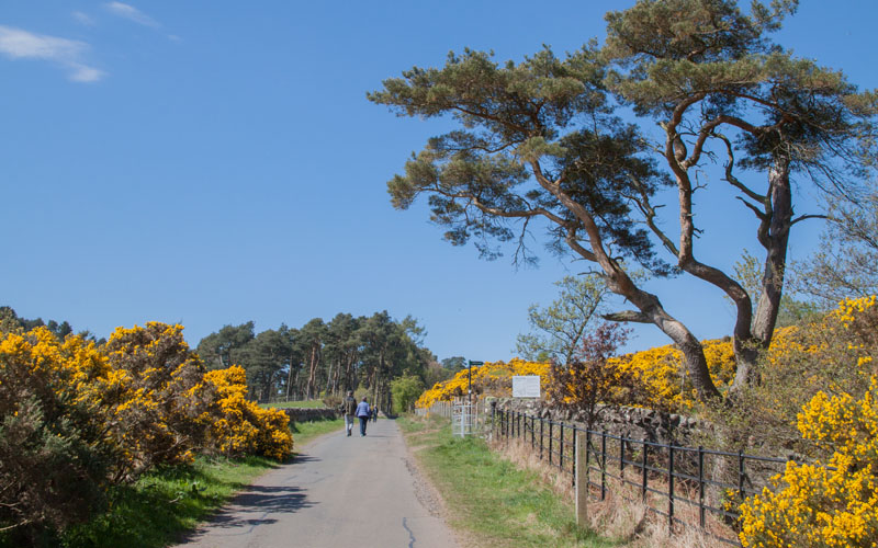
After refreshment we retraced our steps back to … | |
|
… the point where we joined this track - and then continued ahead to … | |
|
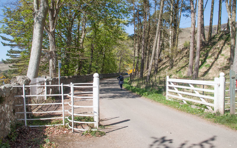
Walk alongside Glencorse Reservoir. The track follows the bank of the boomerang-shaped reservoir. | |
|
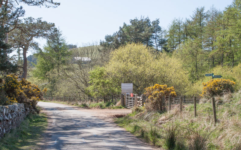
Almost immediately after the path bends sharply to the left, look out for the gate and signs on the right. Take the path on the right signposted for Colinton by Bonaly and Balerno by Harlaw. | |
|
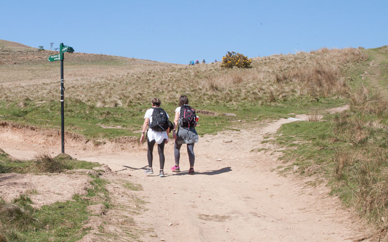
After about 260 metres the path divides - take the right fork, signed for Colinton by Bonaly. | |
|
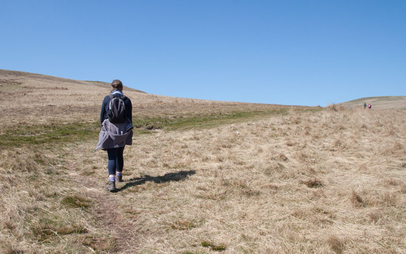
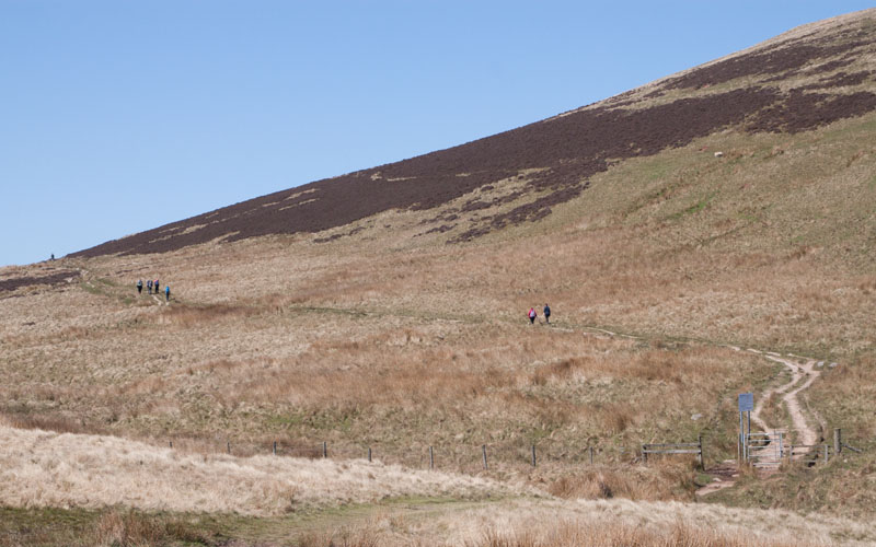
As on the outward leg of the walk, there is an area where paths become less clear and there are alternatives that meet up again a little further up the valley. Keep heading in a northerly direction with Harbour Hill on your left … | |
|
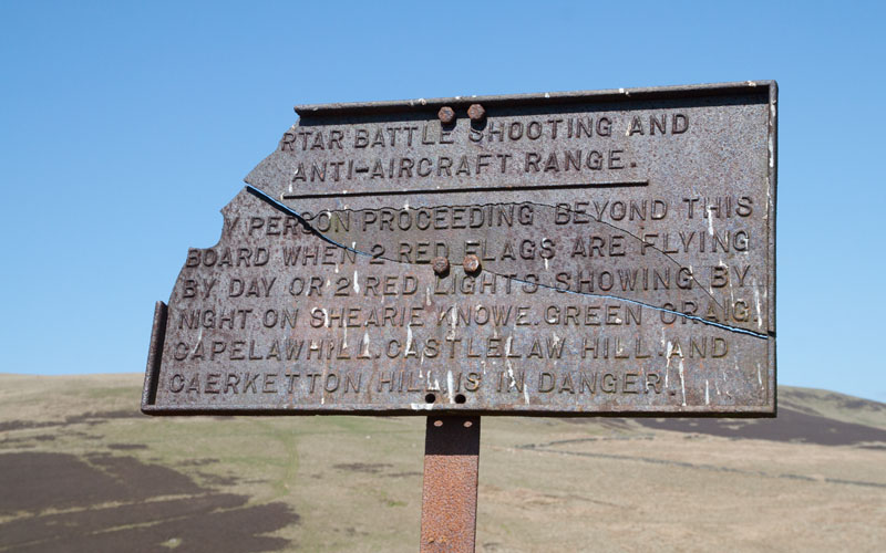
… you should pass the first these old War Department signs … | |
|
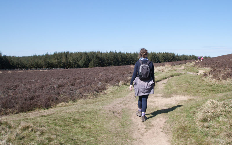
… before coming to a second one by this boundary fence. The path continues gently up the valley (known as Phantom's Cleugh, supposedly named in the late 20th century after a phantom path repairer). | |
|
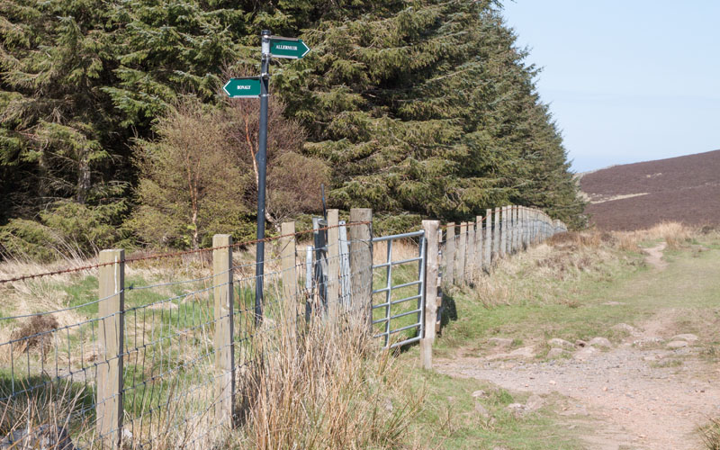
Once you reach the watershed, it is possible to see the tops of the pines that surround Bonaly Reservoir. Continue walking towards these ... | |
|
… then look out for the gate and path on left. This is the path that you walked on earlier - re-trace your steps down the fill for just less than a mile to the car park. |
Other walks near here:
All text and images ©Graham Dean, May, 2017.
Back to:


