- Colinton - Wikipedia
- A Walk with Robert Louis Stevenson - Colinton Community Conservation Trust
- Colinton Dell - Woodland Trust
- Water of Leith - Wikipedia
- The Union Canal - Scottish Canals
This walk is available to download as an e book in Kindle format from Amazon - take the route description with you on your mobile device.
| Maps: | OS Explorer 350 - Edinburgh, Musselburgh & Queensferry. |
| |
| Start: | NT 217 690 - junction of Colinton Road and Westgarth Avenue (if you travel to the start of the walk by bus, Lothian services 10 and 45 stop on Colinton Road and service 16 stops on Westgarth Avenue. | ||
| Finish: | NT 248 731 - Lothian Road - this road is well serviced by buses, or it's a short walk to Princes Street. | ||
| Route: | a linear walk from Edinburgh's suburbs to the city centre through woodland dells, then climbs up to the canal. There are lots of steps on this walk, at least until you reach the canal towpath. It's difficult to imagine that you're so close to a bustling capital city for most of the route which follows the River Leith, before joining the canal towpath. | ||
| Links to route files: | Ordnance Survey OS Maps online (may only available to OSMaps subscribers) or .gpx (exported from OSMaps - for many handheld devices) - note most of the .gpx file follows the route recorded (in the woodland areas and between the tall buildings approaching the city centre the route may not be accurate - we didn't walk on water, we did stay on the towpath!). A couple of lengths were edited after the walk: the start /end (as we walked from where we staying in Colinton, catching the bus back from the city centre) and the diversion because of towpath renovation. | ||
| More info: |
|
||
| Refreshments: | There are pubs and restaurants in Colinton at the start of the walk, the Water of Leith Visitor Centre (about half way along the route) has a café but we have stopped at Counter on the Canal (near the end of the walk) on more than one occasion. If you want more than coffee and cake, there is plenty of choice once you reach the end of the walk. |
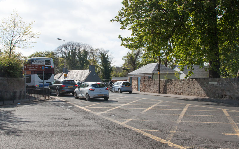
|
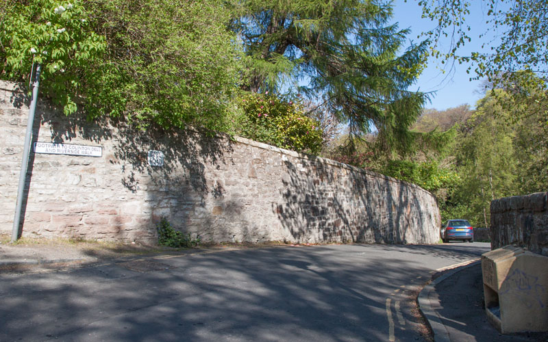
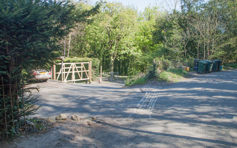
If you are journeying to the start of the walk by bus alight at Rustic Cottages on Colinton Road (services 10 & 45) or Wesgarth Avenue (service 16). The picture shows the junction of Wesgarth and Collinton Roads. From here walk west along Colinton Road. Cross the road at traffic lights |
|
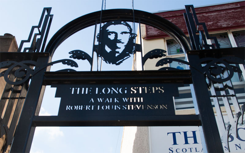
and continue along Bridge Road until you come to the Long Steps (just before the Colinton Inn). This is the start of a short poetry trail, marking the time Robert Louis Stevenson spend in the village. Walk down the steps |
|
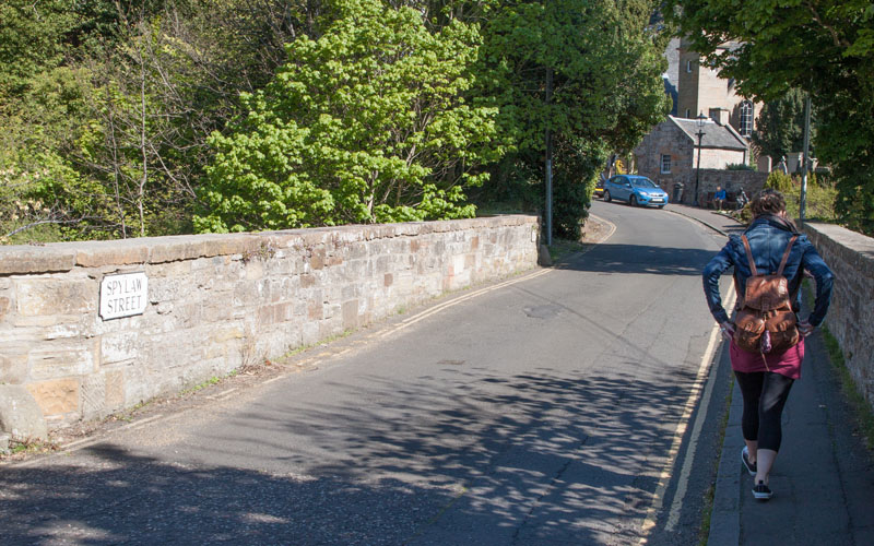
and at the bottom turn right into Spylaw Street. Cross the bridge |
|
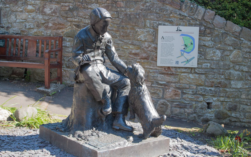
to pass the statue of Stevenson and the church at which his grandfather was minister. |
|
Where Spylaw Street turns to the left, bear right into Dell Road (signposted Footpath to Colinton Dell and Riverside Walk). |
|
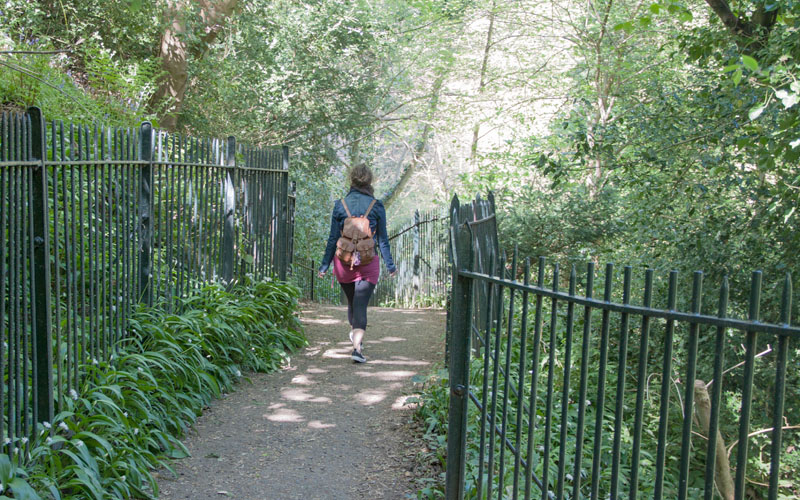
After only a few yards, Dell Road ends - continue on the footpath which leads down steps |
|
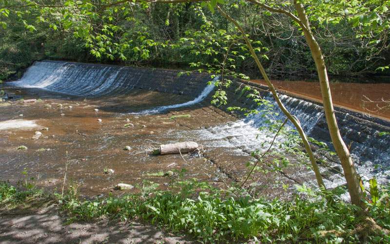
to the Water of Leith. Just below the weir pictured turn right to cross the bridge (signposted Slateford via Katesmill). |
|
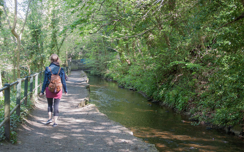
Follow the path alongside the mill headrace. The path bears to the right crossing the water by means of a narrow metal bridge. Walk up the steps and follow the path to |
|
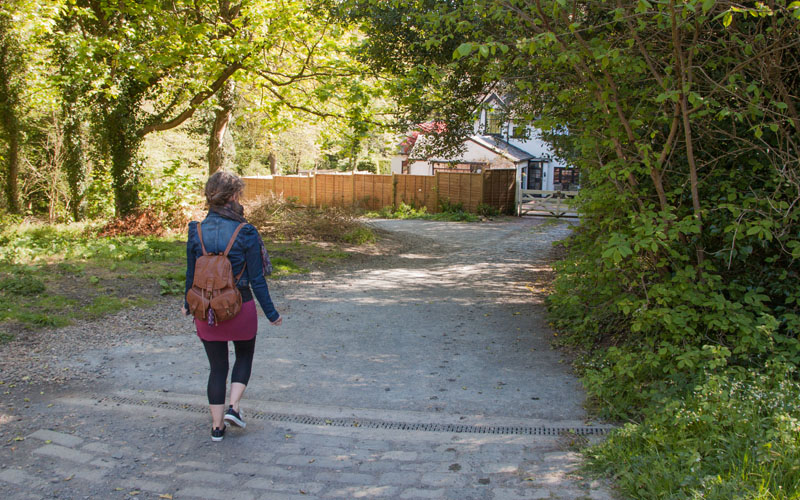
cross Katesmill Road. Follow the track ahead |
|
as it winds through the woodland of Colinton & Craiglockhart Dells. Continue along the same bank of the river, ignoring paths off to the left and right. |
|
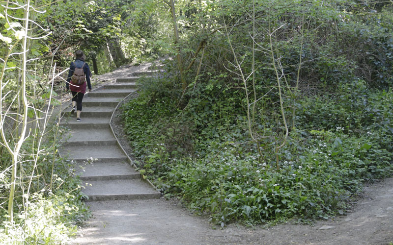
Climb the steps pictured and follow the path at the top which leads to a further set of steps (not as steep this time). |
|
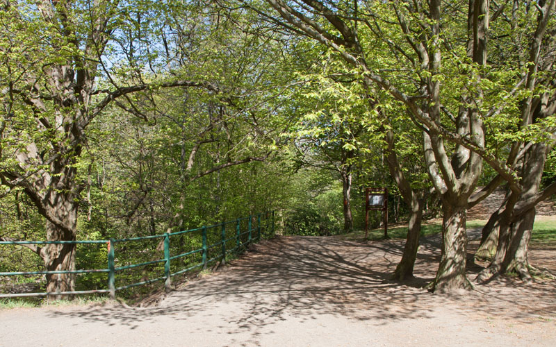
The path emerges into a more open area, before bearing left back into the woodland. |
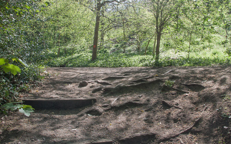
|
At the top of a short flight of steps, bear left, continue along the path and then down steps |
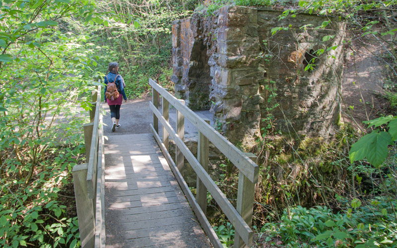
|
before crossing a tributary stream and passing the early 19th century grotto. Where the path branches, continue ahead |
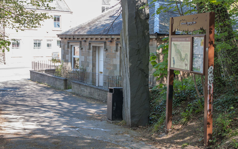
|
until the path emerges on Lanark Road. Turn left and cross the road |
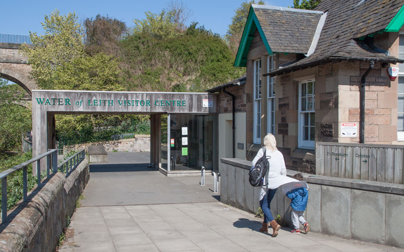
|
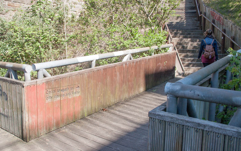
heading towards the Water of Leith Visitor Centre. Walk between the Centre and the river |
|
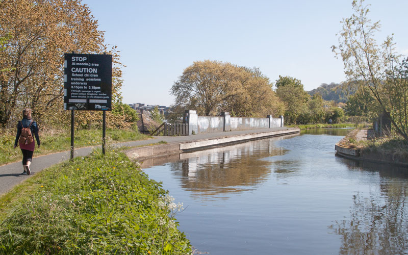
passing under the canal aqueduct, then turn right to climb the steps to the towpath. |
|
Turn left to follow the towpath towards the city. |
|
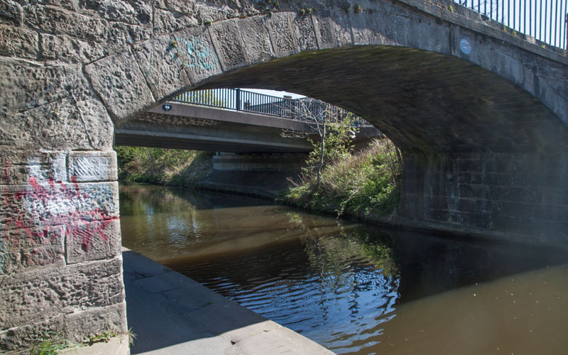
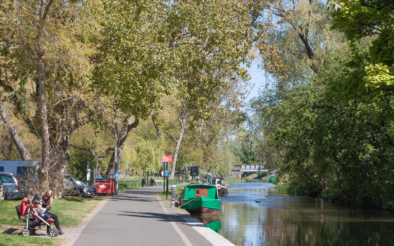
You pass under an interesting variety of bridges - with the original ones having to be supplemented by modern additions on busy roads. |
|
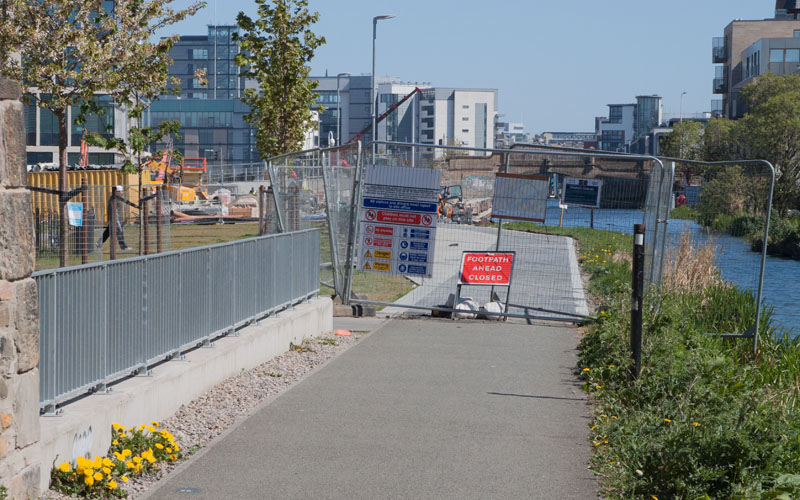
The canal runs alongside Harrison Park |
|
before reaching more built up sections. Here we were diverted from the towpath to Fountainbridge due to towpath improvement work (hopefully completed by the time anyone reads this). |
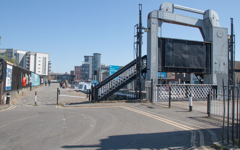
|
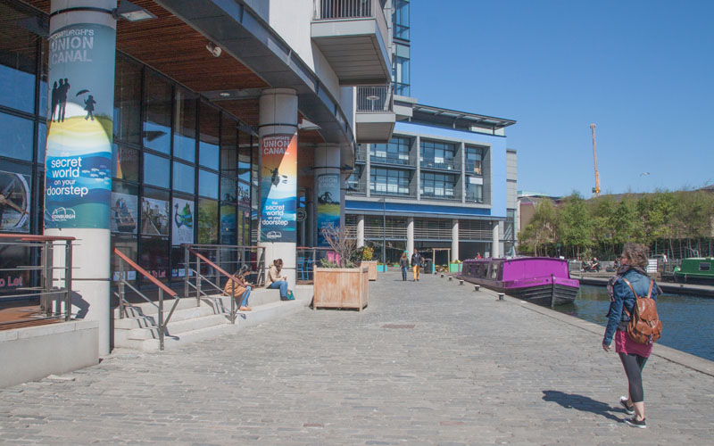
The final bridge on the canal is the Leamington Lift Bridge - now restored to full working order. Just beyond the bridge is the Counter on the Canal, where we stopped for coffee before |
|
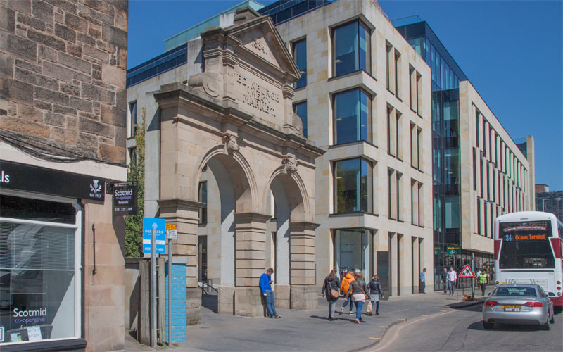
facing the bustle of the city. |
|
Turn right onto Fountainbridge and left onto Lothian Road to reach Princes Street and the city centre. |
Other walks near here:
All text and images ©Graham Dean, May, 2017.
Back to:


