|
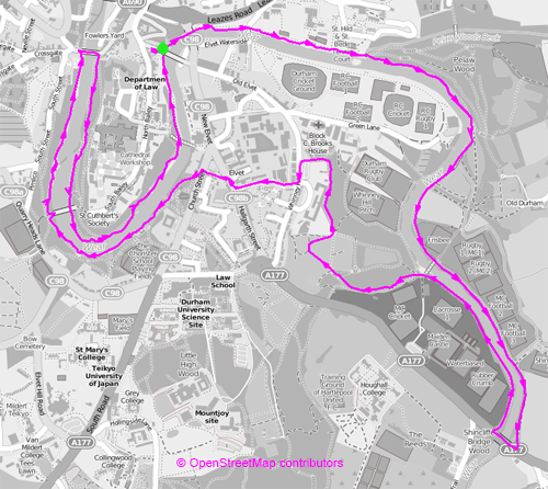
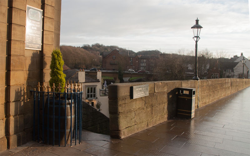
Take the steps down from the north west corner of Elvet Bridge down to the riverside walk.
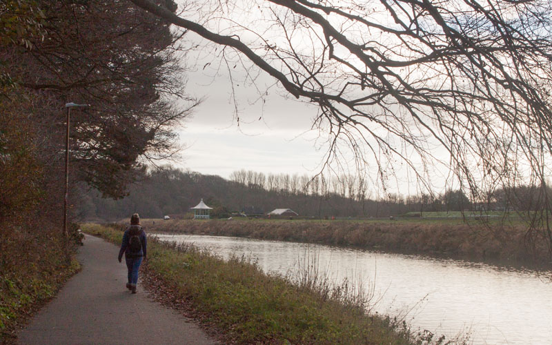
At the bottom of the steps go left to pass between the modern shopping centre and the Boat Club bar. Walk under New Elvet Bridge and
|
|
follow the path alongside the river.
|
|
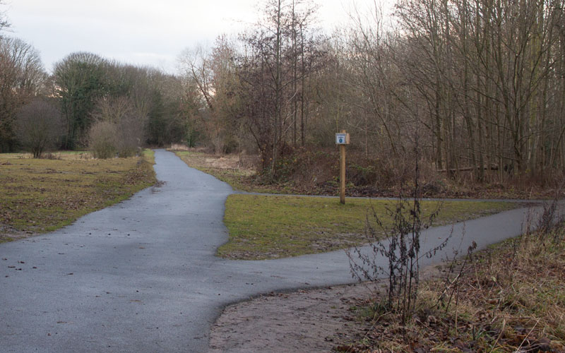
About 0.8 mile (1.25 Km) from the start the path divides - take the right hand fork to stay close to the river.
A little further on continue past a footbridge across the river (to shorten the walk, you can cross this bridge to pick up the route again).
|
|
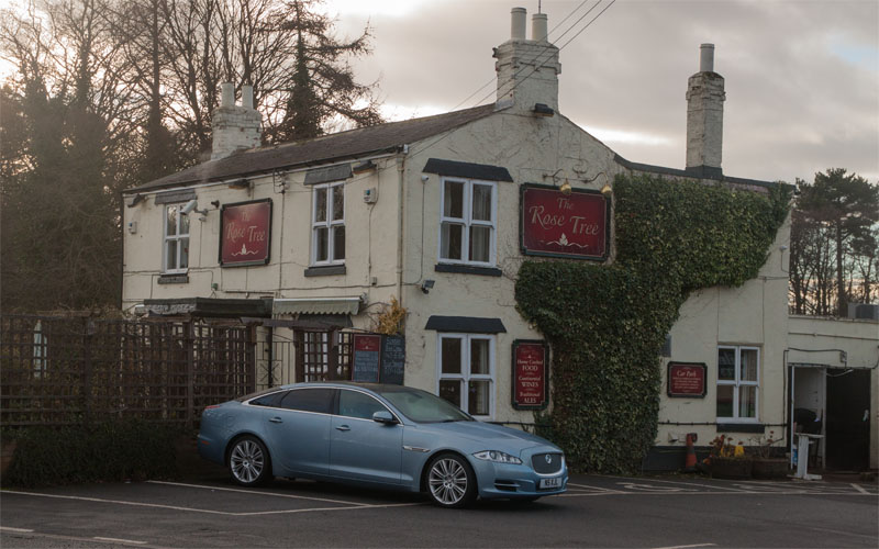
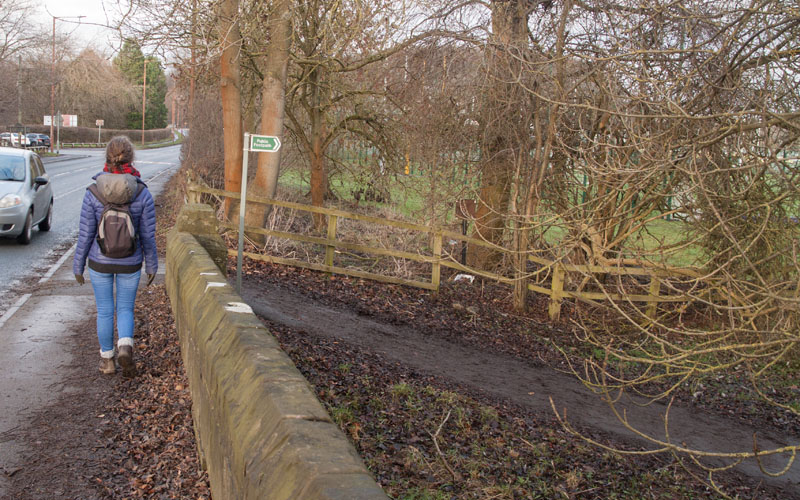
The path comes out on the A177 at Shincliffe, opposite the Rose and Crown pub. Turn right to cross the bridge
|
|
then right again, following the footpath on the opposite bank of the Wear.
|
|
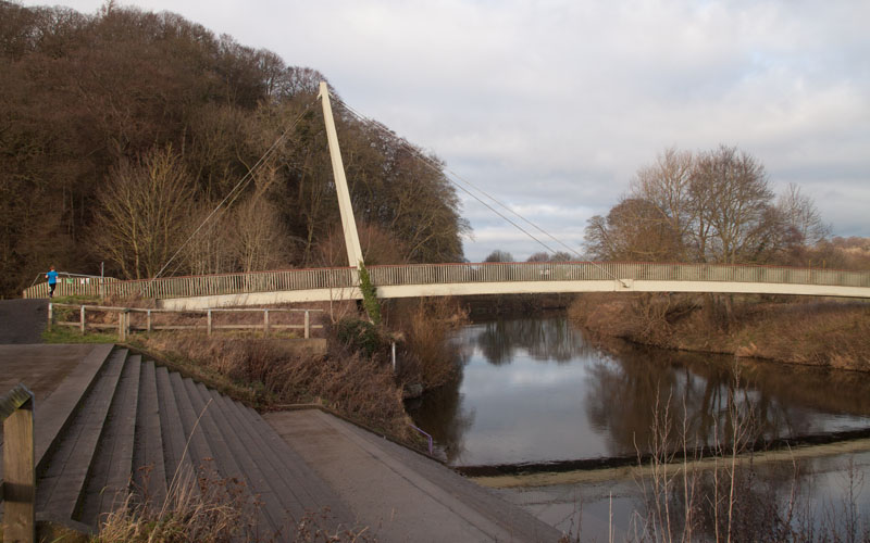
Continue until you reach the footbridge.
|
|
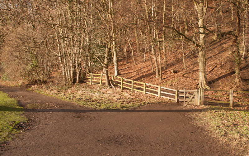
At the bridge turn away from the river, to follow the wide path pictured,
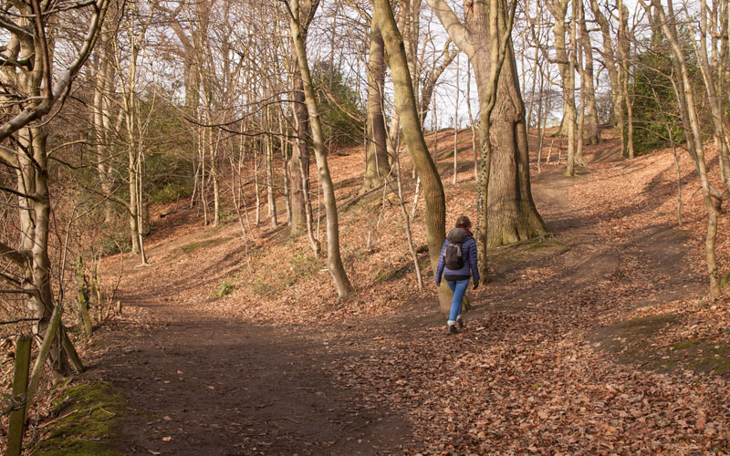
then bear right through the wooden gate and immediately left to walk through Maiden Castle Wood until
|
|
the path divides - take the right-hand fork, walking uphill.
At first the path is clear, but on the winter day on which we followed this route, the path became hidden under fallen leaves.
|
|
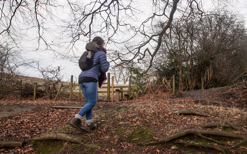
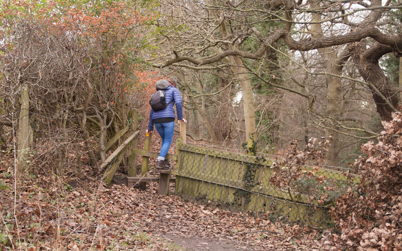
Leave the woods by climbing over the stile pictured
|
|
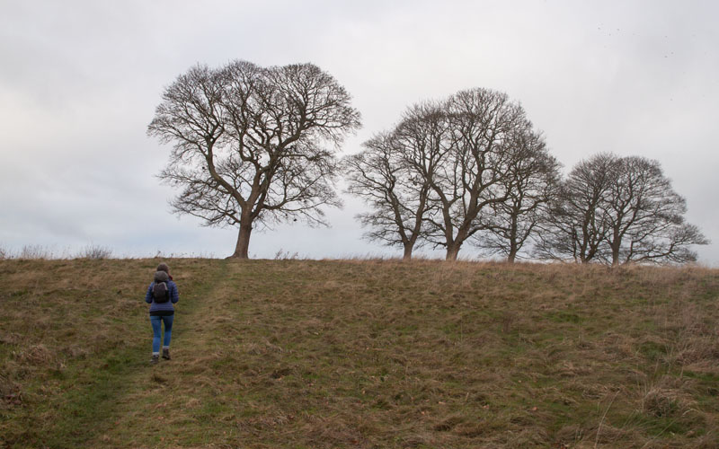
heading towards the left hand tree (which was decorated with pairs of training shoes hanging from its branches).
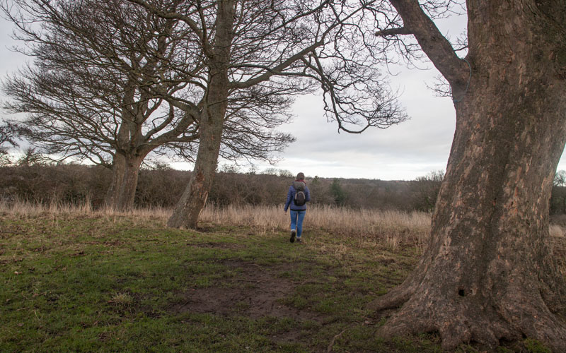
When you reach the tree, pause to admire the view of the cathedral on your left.
|
|
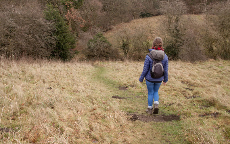
Turn right, following a faint path
|
|
towards bushes at the north east corner of the field
|
|
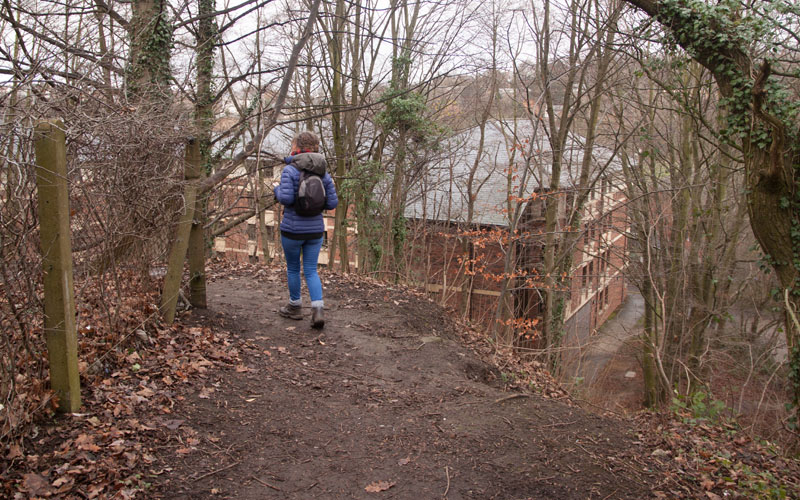
... where a wooden stile
|
|
leads to a narrow path with a steep drop on the right and bushes on the left. The bushes gave way to a building site,
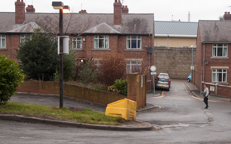
before the path turned sharp left. Follow the path to meet a road which takes you to
|
|
the edge of Durham Prison. Turn left in front of the houses pictured - then first right, passing prison buildings on the right (including the listed Tithe Barn,
now used as the prison officers' club).
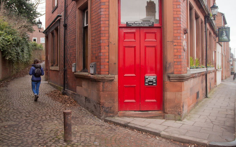
At the end of this street turn right on to Halligarth Street. Turn left
|
|
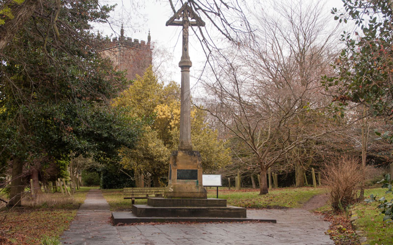
down the cobbled lane by the Victoria pub. At the end of the lane, cross the road and bear left to
|
|
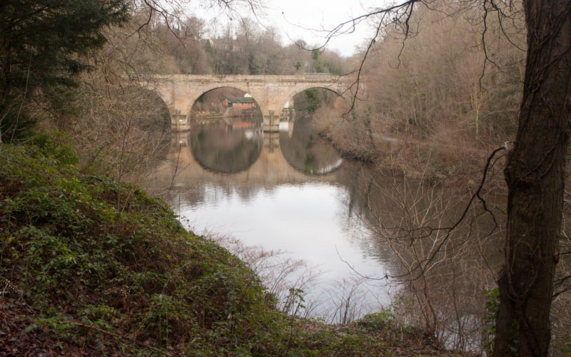
follow the path to the right of the the war memorial, through the graveyard. This leads down to a riverside path.
|
|
As you round the bend, you will catch a first glimpse of the Grade 1 listed
Prebends' Bridge (more details of this and
Durham's other historic bridges).
|
|
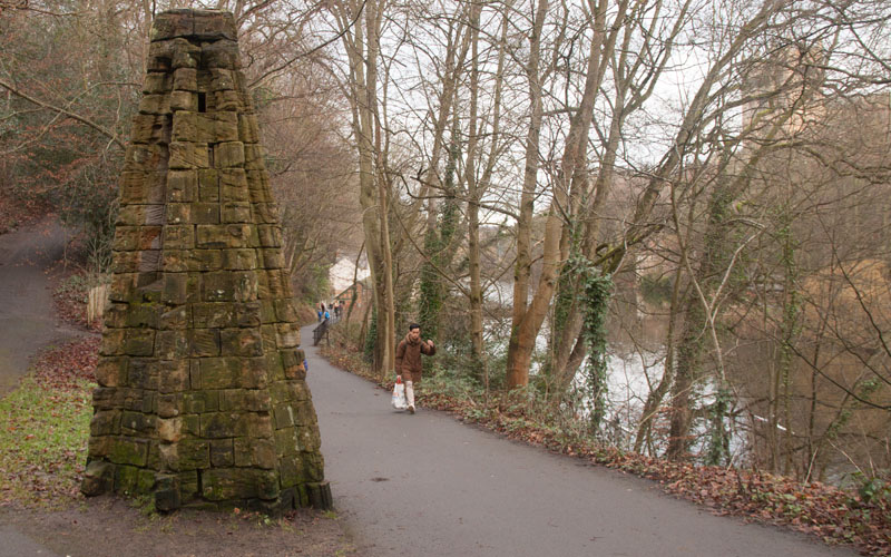
Close to Prebends' Bridge you will pass this stone column - Revealed, a sculpture by artist Richard Cole.
It was installed in 1997, commissioned by the Dean and Chapter of the cathedral and is constructed from stone pinnacles from the cathedral.
If you wish to shorten the walk, you can cross Prebends' Bridge to pick up the route again.
|
|
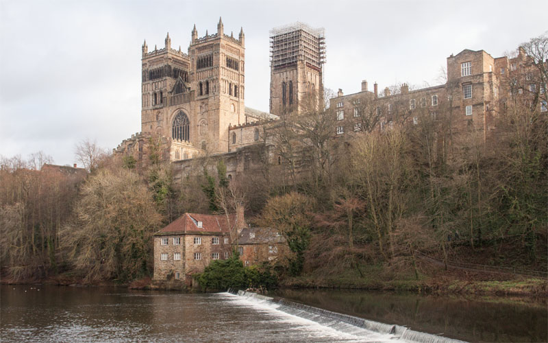
The path continues, passing the weir and providing great views of the cathedral.
|
|
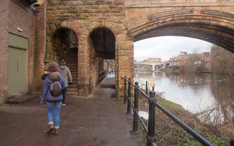
At Framwellgate Bridge, climb the steps
|
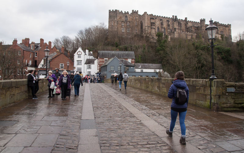
|
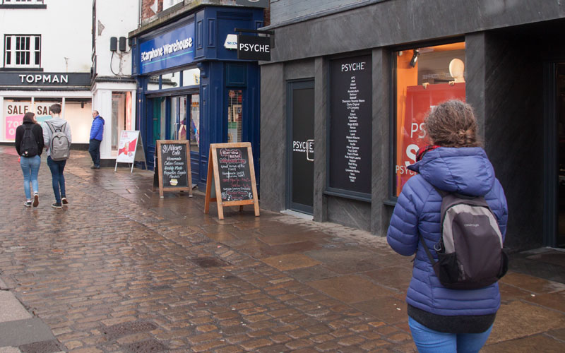
and cross the bridge (or, as we did, stop at one of the nearby café/bars for refreshment). Once across the bridge look out
|
|
... for the narrow passageway on the right (between the 2 A-boards in the photograph).
|
|
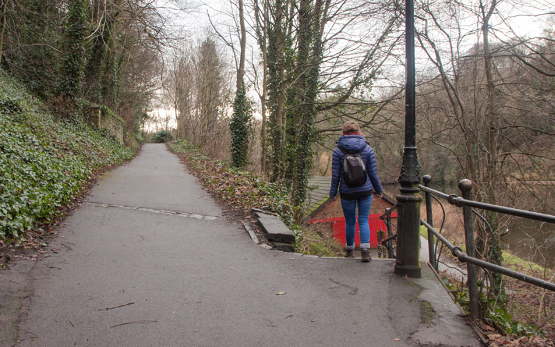
Steps lead down to the path on the opposite bank - continue along this, heading down to the river on your right.
|
|
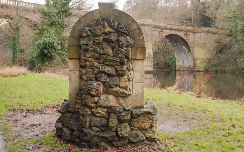
You pass another sculpture, The Storyteller's Chair, before walking under Prebends' Bridge, pictured in the background.
|
|
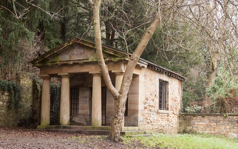
Shortly after Prebends Bridge you will see the Count's House, a Grecian style folly built around 1810.
An information board nearby provides more information (or see the
sculpture trail leaflet).
Continuing around the bend of the river
|
|
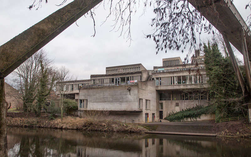
you walk under the listed Kingsgate footbridge
and a view to Dunelm House on the opposite bank. The future of brutalist building is currently subject to controversy,
with the University seeking to demolish it, whilst the 20th Century Society are attempting to have it listed.
|
|
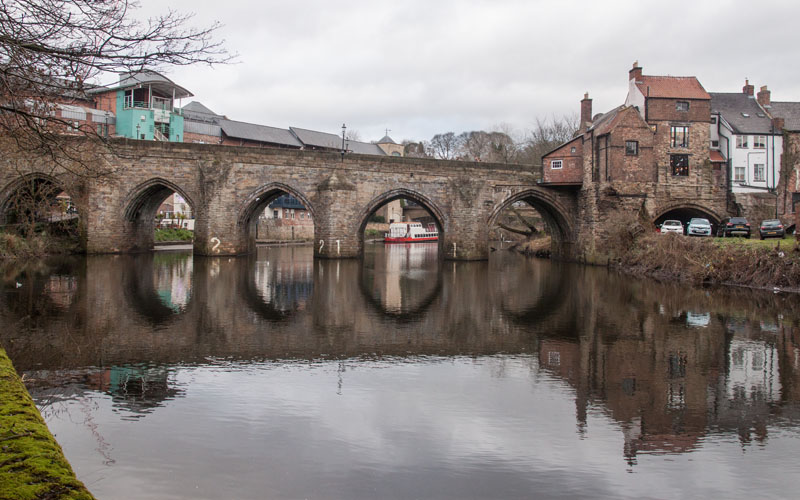
The next bridge is where we started the walk
|
|
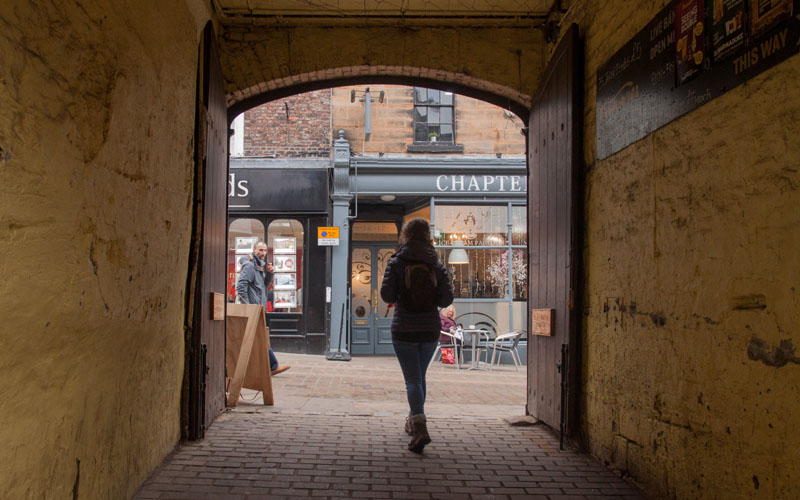
instead of retracing our path up the steps, we walked under one of the bridge arches to emerge through the gates pictured.
|
All text and images ©Graham Dean, January, 2019.
