|
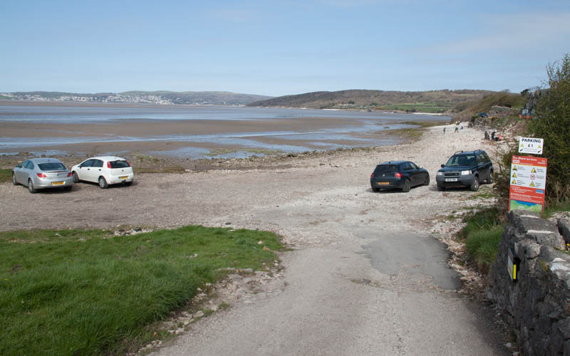
From the car park at Silverdale walk up the road and by the cattle grid. Continue up Shore Road, passing the Silvedale Hotel on your left
(if it had been open when we passed we would have stopped for a coffee).
|
|

|
At the road junction pictured turn right, following the sign for Jenny Brown's Point. Follow Lindeth Road for about 650 metres.
This will bring you to …
|
|
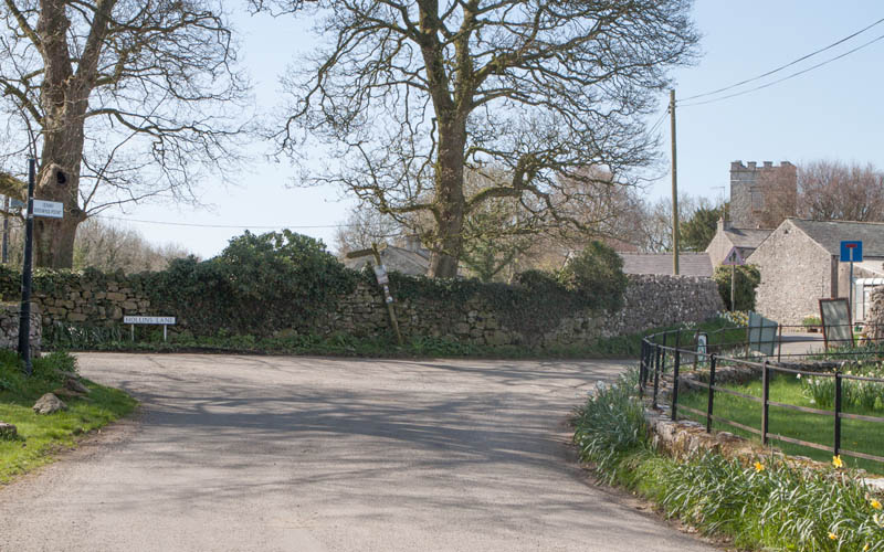
… another road junction. Bear right to follow the narrower road, passing the entrance to Gibraltar Farm campsite
(in summer months they have a cabin selling ice creams) and Lindeth Tower.
After about 300 metres …
|
|
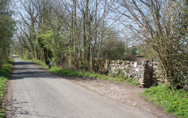
… this gate on the right takes you into the National Trust owned Jack Scout.
|
|
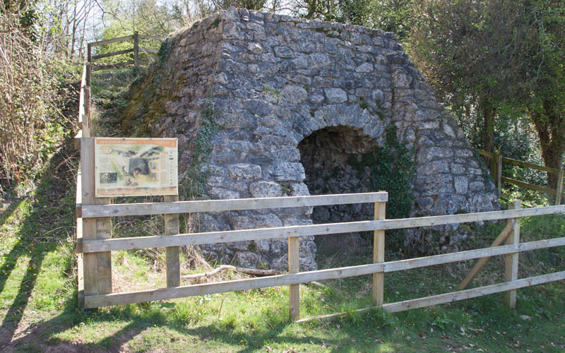
Soon after entering Jack Scout you'll see this lime kiln. There are remains of small kilns such as this in a number of locations
around the nearby limestone areas - these were used to produce lime as a fertiliser on nearby fields.
With your back to the kiln, follow the path …
|
|
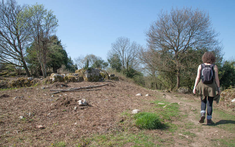
… up a slight incline and towards the coast.
|
|
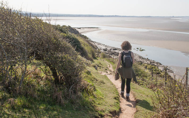
The clifftop path provides extensive views over Morecambe Bay including the remains of an ill-fated sea wall constructed in the 1870s.
|
|
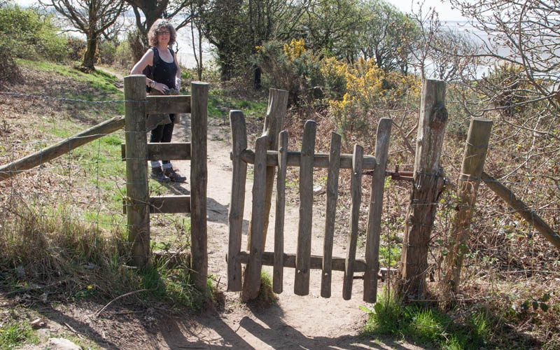
Continue along the path through the gate pictured. The path soon curves back towards the road where a kissing gate leads out of the National Trust land.
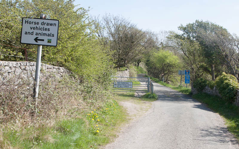
Turn right along the narrow road …
|
|
… across (or round) the cattle grid and …
|
|
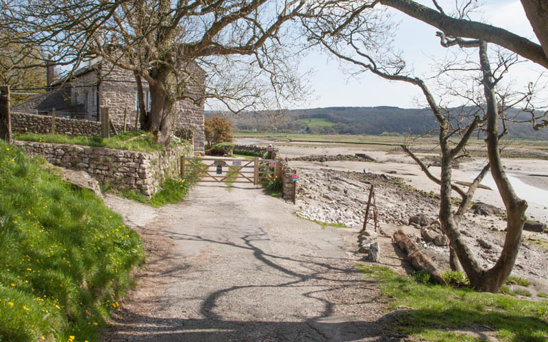
… to the cottages at Jenny Brown's Point. Here the path runs along the beach towards …
|
|
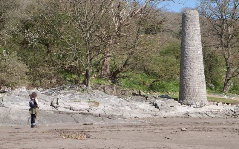
… the Grade II listed limestone chimney, the remains of an 18th century copper smelting works. Follow the beach path
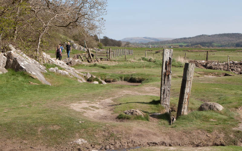
as it curves north east and heads …
|
|
… inland. There was a stile, but the wire fence was lying on the ground - cross this and walk alongside a post and wire fence …
|
|
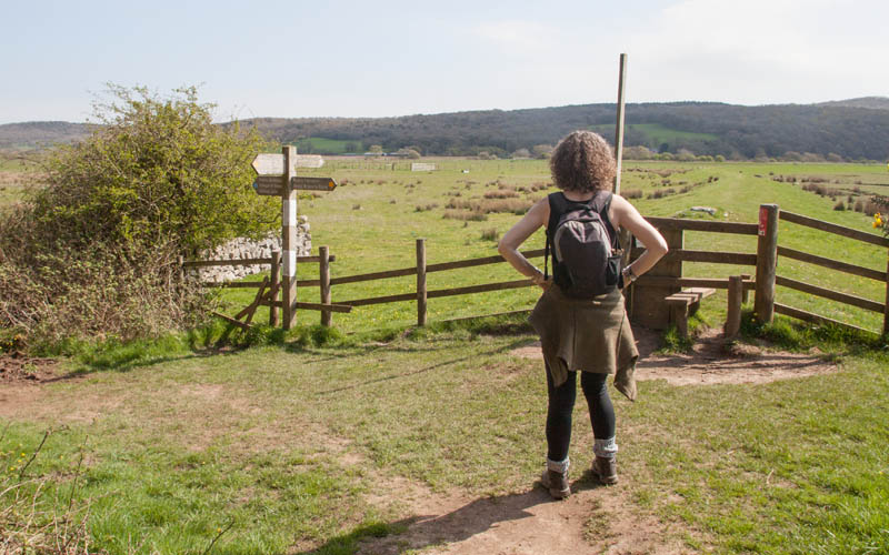
… to a junction of paths. Turn right and climb the (broken) stile - the path is signposted Permissive path Quaker's Stang.
Walk along the top of the sea defence embankment …
|
|
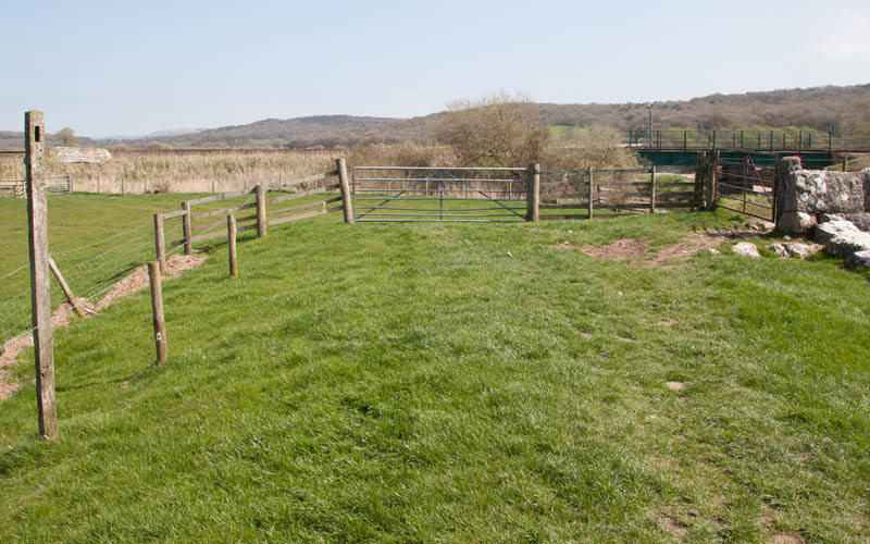
… which leads through one metal gate (this had a broken hinge when we visited), before turning to the north.
At the point pictured go through the gate on the right to join a dusty track (the access road to the car park).
Turn right and walk under the railway bridge (duck if you're over 6'6").
Where the track joins the road, turn right. Follow the road …
|
|
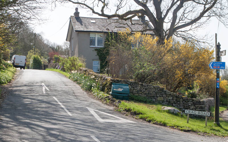
… to the junction pictured. Turn left to walk up Crag Road for about a mile, until you see …
|
|
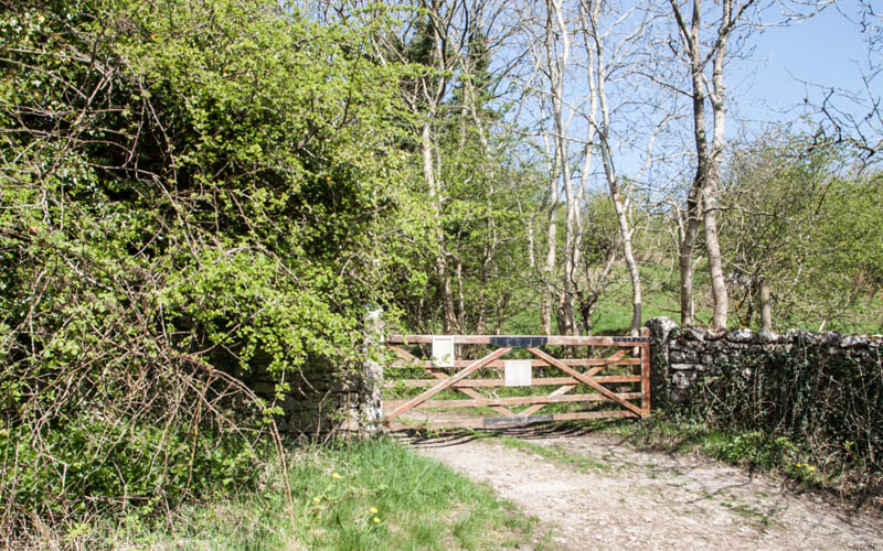
… this gate on your left. Go through the gate to enter Warton Nature Reserves.
|
|
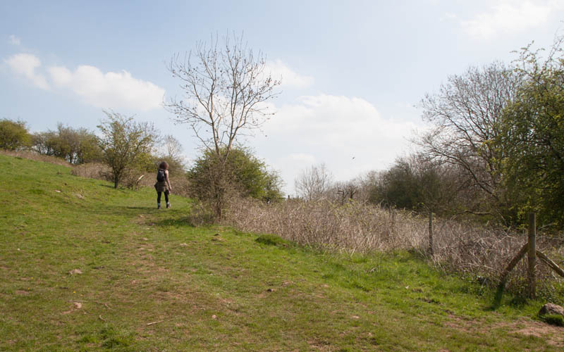
The clear track soon becomes a less distinct path. The reserve has a network of paths, and it wasn't always clear which to follow -
our route zig-zagged to …
|
|
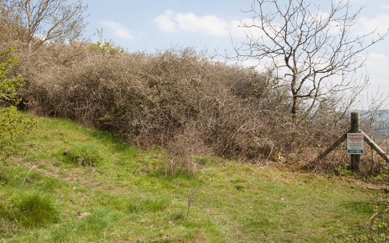
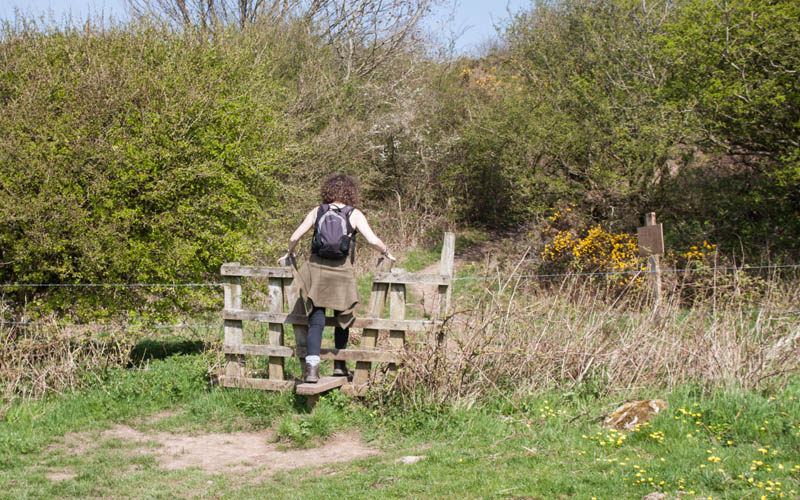
… a viewpoint over the quarry. We then headed to the left up the hillside to …
|
|
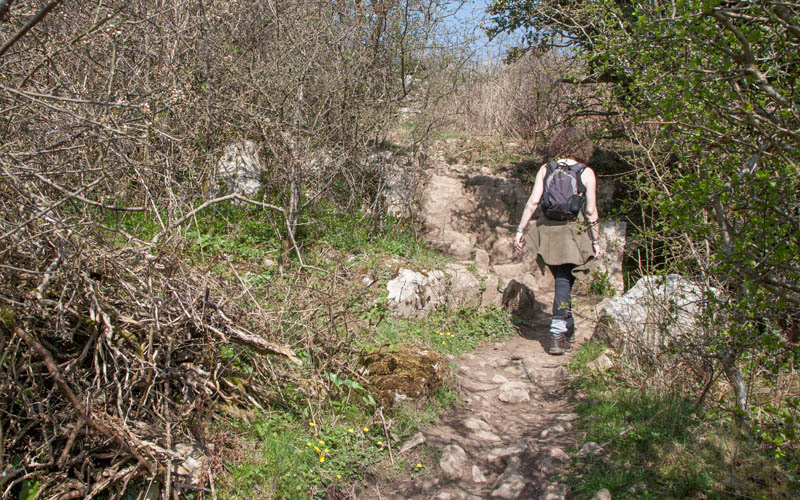
… a stile which confirmed that we were heading in the right direction …
|
|
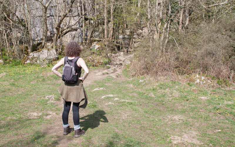
… though the path did require some scrambling up limestone outcrops.
|
|
We crossed a 2nd stile (between the trees in the picture) to climb up more rocky outcrops …
|
|
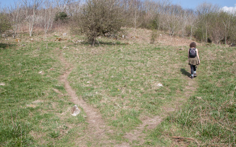
… before coming to this divergence of paths. We tried going left, but the way became impassable, so followed the right hand path …
|
|
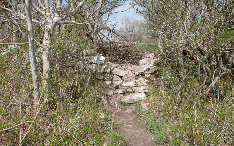
… to find we faced a stone wall. This had obviously been climbed by lots of people before us, so we went over the wall …
|
|
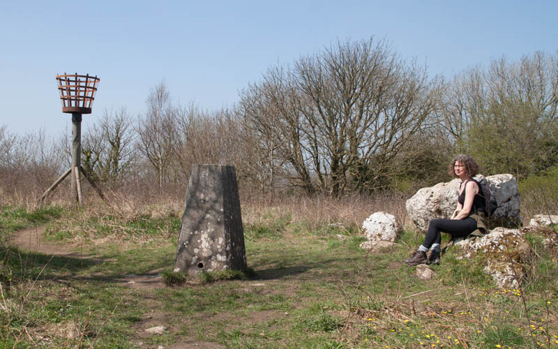
… to find ourselves at the summit. On the way up there were several places which provided spectacular views -
but here the views were disappointing, being obscured by the trees.
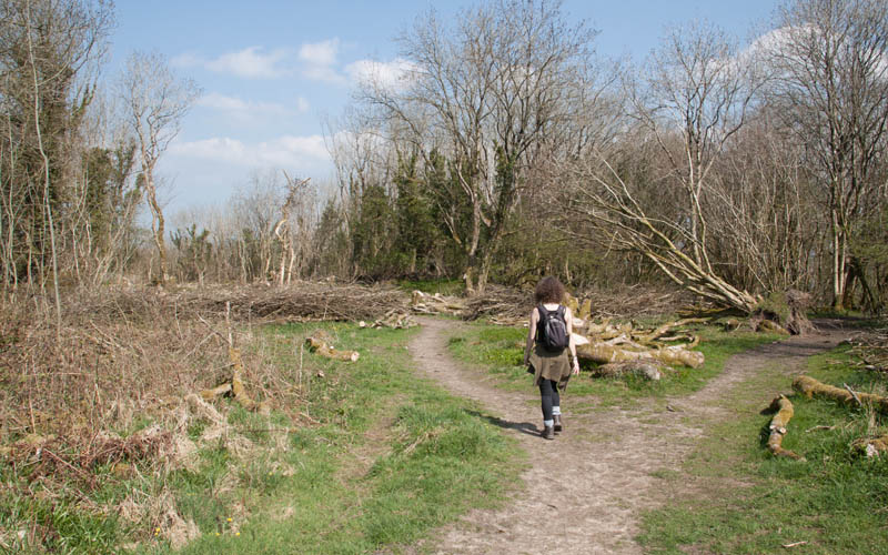
Turn your back to the trig point and follow the path heading north …
|
|
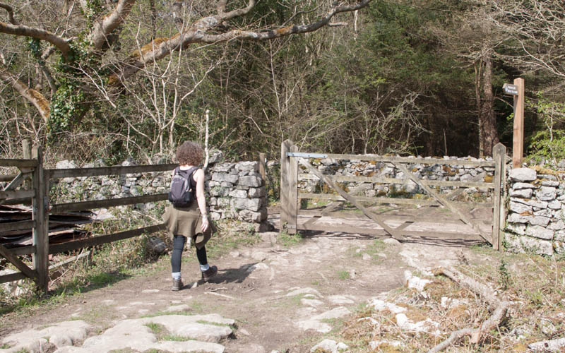
… to where it branches. Here take the left fork. The path is fairly clear and leads through a wooden gate and an
area where there has been a lot of tree felling.
|
|
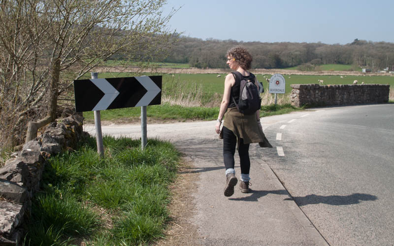
The next gate brings you onto a lane - turn left. Follow this lane (Occupation Road - a former drovers' route) until it meets Crag Road.
Turn right to re-trace your steps down Crag Road. Turn right back onto New Road …
|
|
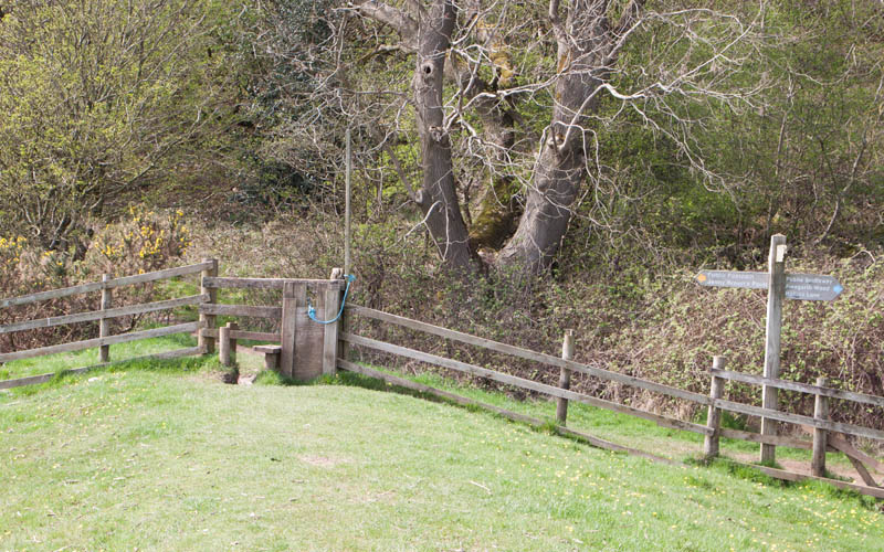
… and then left towards Quaker's Stang. Continue to re-trace your steps along the sea defence embankment …
|
|
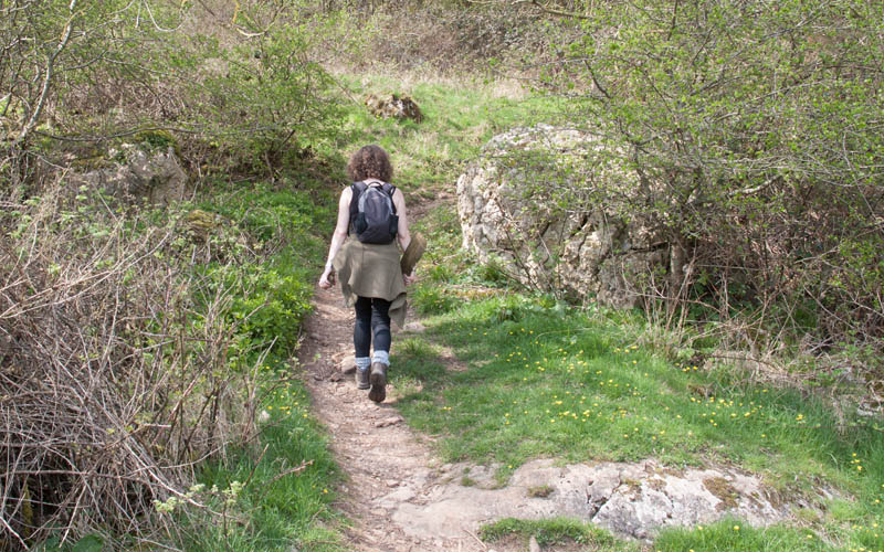
… to re-cross the (broken) stile pictured. Here go straight ahead (signed Public Footpath, Heald Brow, Hollins Lane).
|
|
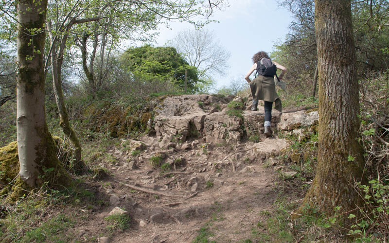
The steep, rocky path leads to the National Trust land at Healds Brow.
|
|
The path continues to climb, before levelling out. The route has marker posts to follow,
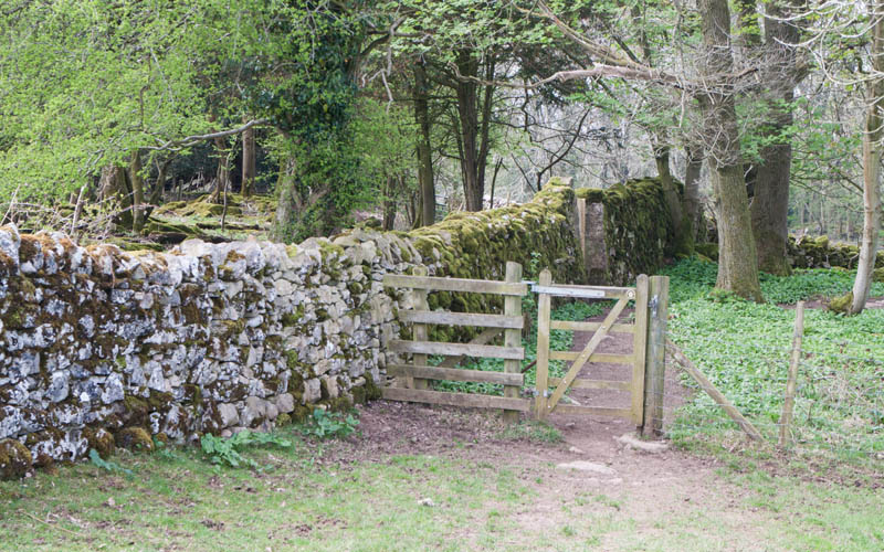
then runs alongside a limestone wall which leading to …
|
|
… this gate. Go through the gate and bear to the right, through another wooden gate and then follow a narrow path until …
|
|
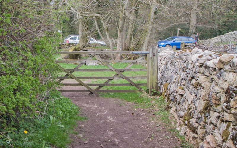
… you arrive at the gate pictured. A second gate takes you out onto a narrow road (Hollins Lane).
Cross the lane, bearing slightly right to follow the footpath signed Public Footpath,
The Green. Once again you enter National Trust land (Woodwell Cliff).
|
|
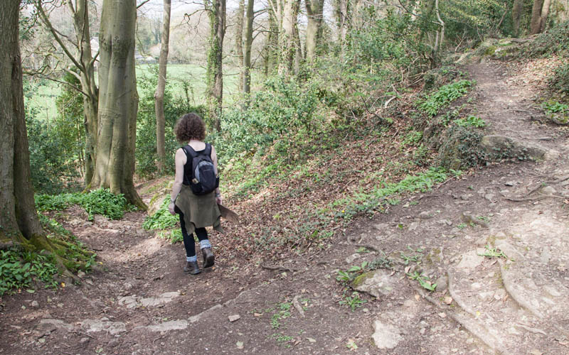
Where the path branched, we went left to follow the path below the cliff. At the end of this path walk through a narrow gap in the stone wall.
A spring from the cliff flows into a rectangular pool ahead of you. Turn to the left to follow Woodwell Lane until …
|
|
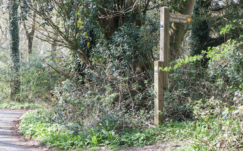
… you come to the finger post picture (Public Footpath, Silverdale Village). Take this path on the right.
|
|
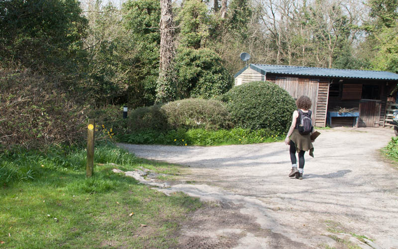
The path runs alongside woodland before crossing this driveway. It then leads behind gardens before bringing you out …
|
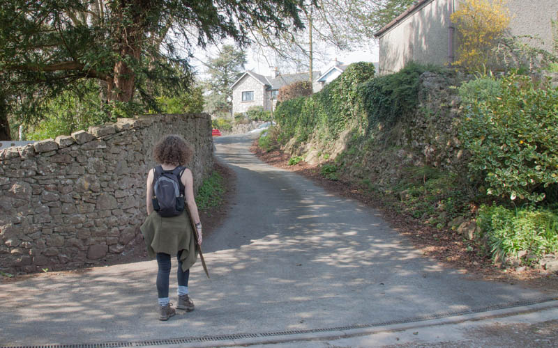
|
… on this driveway. When you reach the far end, turn left onto Stankelt Road.
At the junction with Shore Road bear left to return to the beach car park.
|
All text and images ©Graham Dean, April, 2018.


